Leyfields

Settlement in Staffordshire Tamworth

England

Leyfields

Bonehill Road  (7) This photograph <a href="https://www.geograph.org.uk/photo/2434787">SK1903 : Bonehill Road  (6)</a> shows another view of Bonehill Road.
Bonehill Road (7) Credit: Chris' Buet

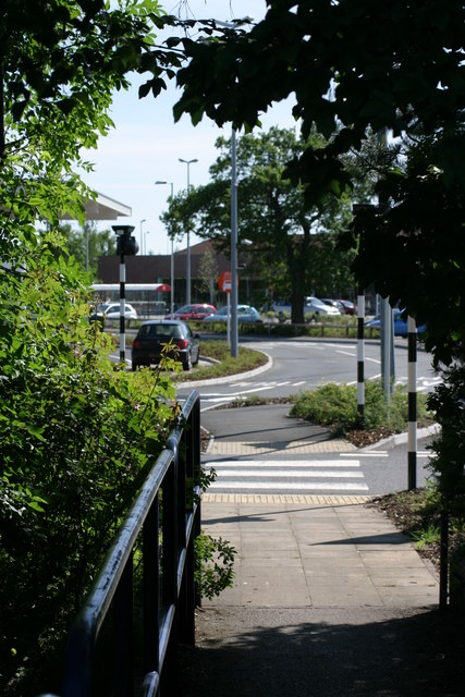
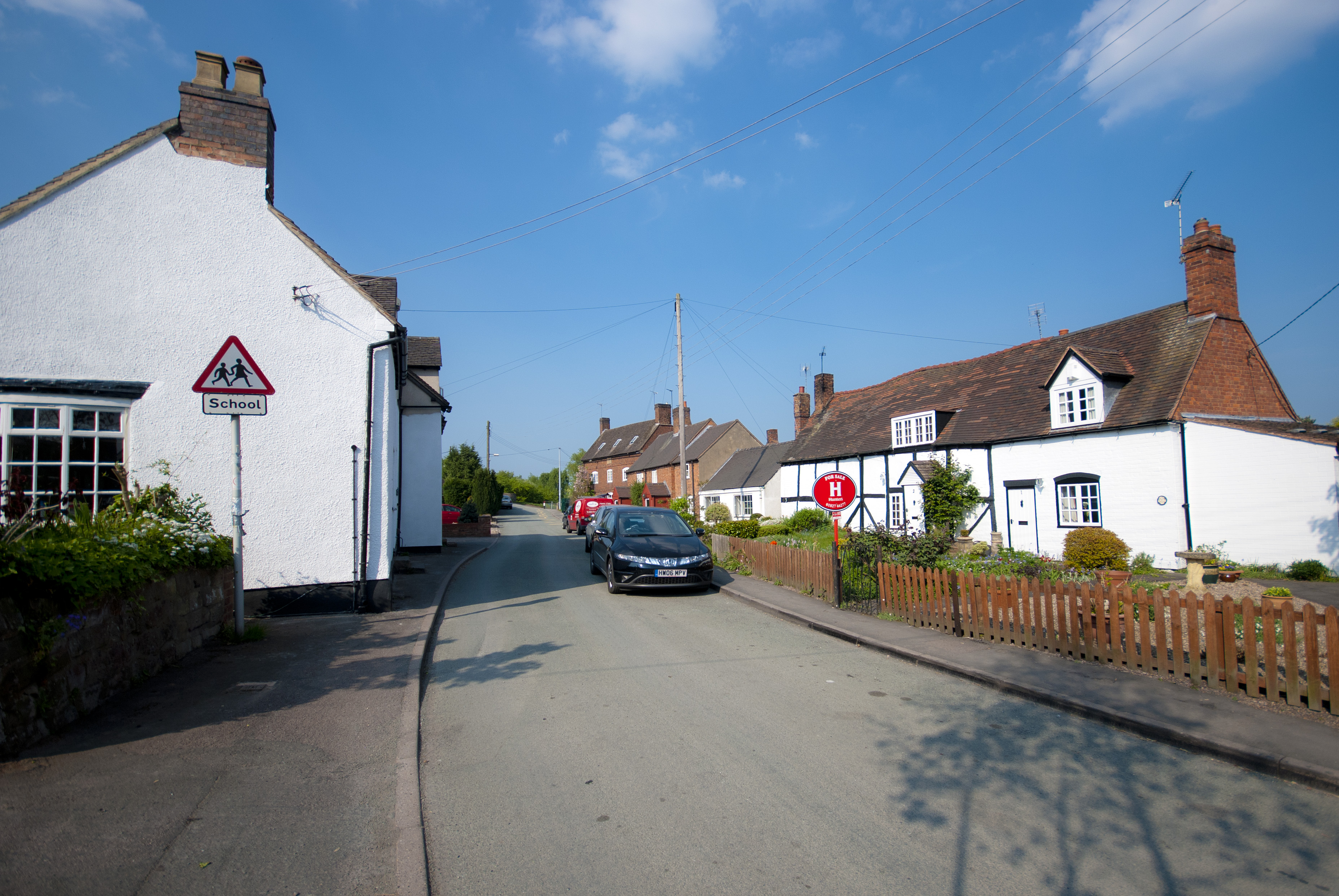
Leyfields is a small residential area located in Staffordshire, England. Situated on the outskirts of the bustling town of Tamworth, Leyfields offers a peaceful and family-friendly environment for its residents.

The area is characterized by its predominantly modern housing estates, consisting of a mix of detached and semi-detached houses. The properties are well-maintained, with neatly manicured gardens and ample parking spaces. Leyfields provides a range of housing options suitable for families, young professionals, and retirees.

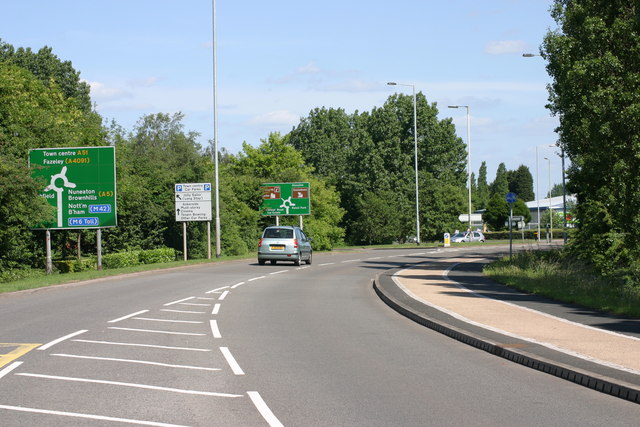
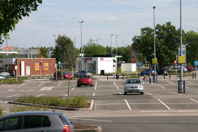
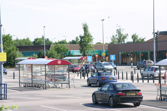
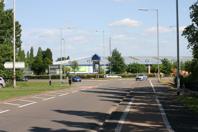
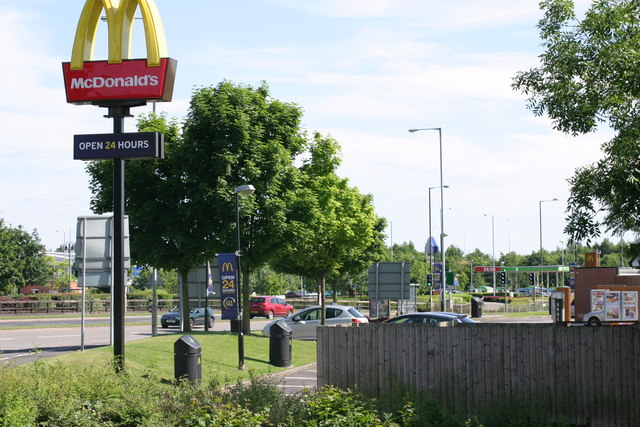
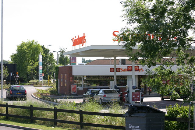
Residents of Leyfields benefit from a range of amenities located within close proximity. The nearby Ventura Retail Park offers a variety of shops, supermarkets, and restaurants, ensuring that residents have easy access to all their daily needs. Additionally, the area is served by several primary and secondary schools, providing families with excellent educational opportunities.

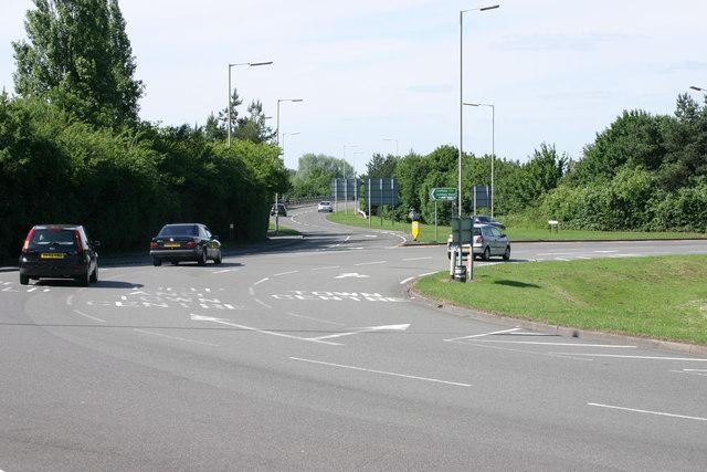
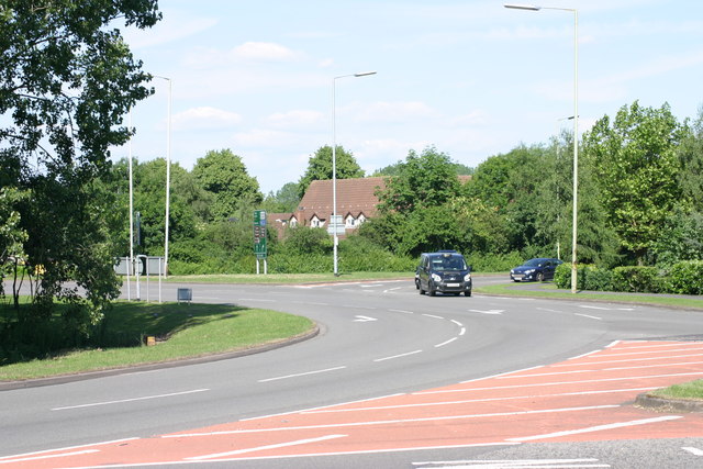
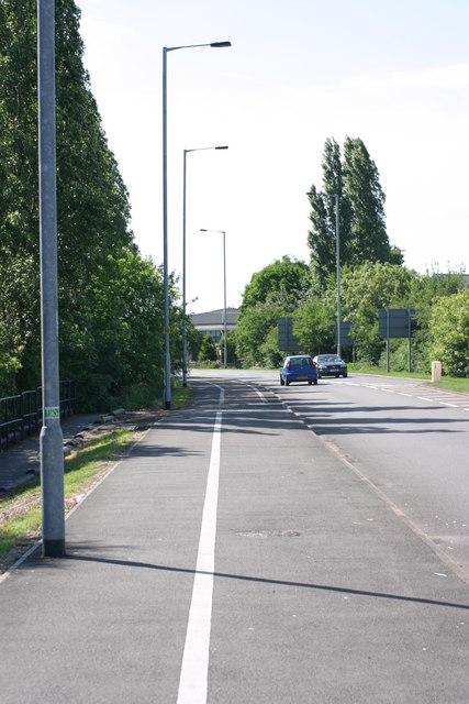
Leyfields enjoys good transport links, with the A5 and M42 motorway just a short drive away, providing convenient access to neighboring towns and cities. The area is also well-served by public transportation, with regular bus services connecting Leyfields to Tamworth town center and surrounding areas.

Nature enthusiasts will appreciate the proximity to the beautiful Staffordshire countryside, with ample opportunities for outdoor activities such as walking, hiking, and cycling. The nearby Drayton Manor Theme Park provides entertainment for all ages, making Leyfields an attractive location for families.

Overall, Leyfields offers a pleasant and convenient place to live, combining the tranquility of a residential area with easy access to amenities and transport links.

If you have any feedback on the listing, please let us know in the comments section below.
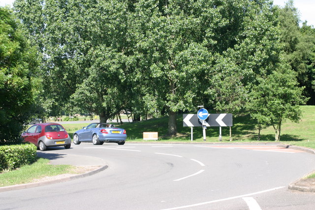
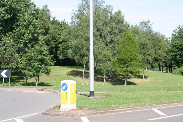
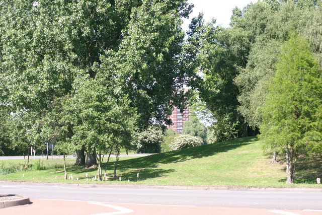
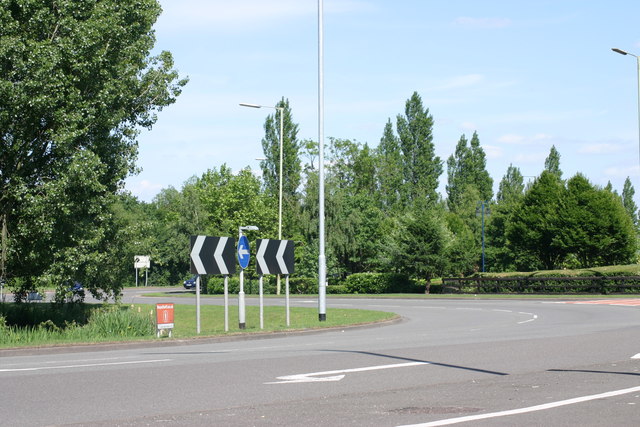
Leyfields Images

Images are sourced within 2km of 52.642413/-1.7206416 or Grid Reference SK1905. Thanks to Geograph Open Source API. All images are credited.

Bonehill Road  (7) This photograph <a href="https://www.geograph.org.uk/photo/2434787">SK1903 : Bonehill Road  (6)</a> shows another view of Bonehill Road.
Bonehill Road (7)
This photograph SK1903 : Bonehill Road (6) shows another view of Bonehill Road.
The Jolly Sailor, Retail park  (4) The above photograph shows a view the car park which part of the Jolly Sailor, retail park. This photograph <a href="https://www.geograph.org.uk/photo/2437906">SK1903 : The Jolly Sailor, Retail Park  (2)</a> shows another view of this retail park.
The Jolly Sailor, Retail park (4)
The above photograph shows a view the car park which part of the Jolly Sailor, retail park. This photograph SK1903 : The Jolly Sailor, Retail Park (2) shows another view of this retail park.
The Jolly Sailor, Retail park  (10) This photograph <a href="https://www.geograph.org.uk/photo/2439862">SK1903 : The Jolly Sailor, Retail park  (3)</a> shows another view of this Retail park.
The Jolly Sailor, Retail park (10)
This photograph SK1903 : The Jolly Sailor, Retail park (3) shows another view of this Retail park.
Bonehill Road  (10) The above photograph shows a view of Bonehill Road, exiting a traffic island. The traffic island which is just about visible, located to the left of this photograph, joins on to this stretch of Bonehill Road. This photograph <a href="https://www.geograph.org.uk/photo/2437749">SK2003 : Bonehill Road  (7)</a> shows a view of Bonehill Road approaching the traffic Island mentioned above. Ventura retail park can be seen in the background.
Bonehill Road (10)
The above photograph shows a view of Bonehill Road, exiting a traffic island. The traffic island which is just about visible, located to the left of this photograph, joins on to this stretch of Bonehill Road. This photograph SK2003 : Bonehill Road (7) shows a view of Bonehill Road approaching the traffic Island mentioned above. Ventura retail park can be seen in the background.
Bonehill Road  (11) The above photograph shows a section of Bonehill Road, joining a traffic island along the (A453) This photograph <a href="https://www.geograph.org.uk/photo/2443771">SK1903 : Bonehill Road  (9)</a> shows another view Bonehill Road.
Bonehill Road (11)
The above photograph shows a section of Bonehill Road, joining a traffic island along the (A453) This photograph SK1903 : Bonehill Road (9) shows another view Bonehill Road.
Traffic Island, next to Bonehill Road  (1) This photograph <a href="https://www.geograph.org.uk/photo/2443755">SK1903 : Bonehill Road  (8)</a> shows another view of a section of Bonehill Road.
Traffic Island, next to Bonehill Road (1)
This photograph SK1903 : Bonehill Road (8) shows another view of a section of Bonehill Road.
Traffic Island, next to Bonehill Road  (2) The above photograph shows a view of a section of the Traffic island next to Bonehill Road. This photograph <a href="https://www.geograph.org.uk/photo/2428095">SK1903 : Bonehill Road  (5)</a> shows a view of Bonehill Road.
Traffic Island, next to Bonehill Road (2)
The above photograph shows a view of a section of the Traffic island next to Bonehill Road. This photograph SK1903 : Bonehill Road (5) shows a view of Bonehill Road.
Traffic island, next to Bitterscote Drive  (1) This photograph <a href="https://www.geograph.org.uk/photo/2439871">SK2003 : The Jolly Sailor, Retail park  (4)</a> shows a view of the Jolly Sailor Retail Park, which is next to this section of traffic island.
Traffic island, next to Bitterscote Drive (1)
This photograph SK2003 : The Jolly Sailor, Retail park (4) shows a view of the Jolly Sailor Retail Park, which is next to this section of traffic island.
Path leading to, The Jolly Sailor Retail Park This photograph <a href="https://www.geograph.org.uk/photo/2440520">SK1903 : The Jolly Sailor, Retail Park  (7)</a> shows a view of that Retail park.
Path leading to, The Jolly Sailor Retail Park
This photograph SK1903 : The Jolly Sailor, Retail Park (7) shows a view of that Retail park.
Traffic Island, Next to Bonehill Road  (3) This photograph <a href="https://www.geograph.org.uk/photo/2444547">SK2003 : Traffic Island, next to Bonehill Road  (1)</a> shows another view of this Traffic Island.
Traffic Island, Next to Bonehill Road (3)
This photograph SK2003 : Traffic Island, next to Bonehill Road (1) shows another view of this Traffic Island.
Mc Donalds  (6) This photograph <a href="https://www.geograph.org.uk/photo/1498020">SK2003 : Mc Donalds  (2)</a> shows another view of this Fast Food Outlet.
Mc Donalds (6)
This photograph SK2003 : Mc Donalds (2) shows another view of this Fast Food Outlet.
Traffic Island, next to Bitterscote Drive  (2) This photograph <a href="https://www.geograph.org.uk/photo/2444689">SK2003 : Traffic Island, Next to Bonehill Road  (3)</a> shows another view this Traffic island, but the photograph shows the section next to Bonehill Road.
Traffic Island, next to Bitterscote Drive (2)
This photograph SK2003 : Traffic Island, Next to Bonehill Road (3) shows another view this Traffic island, but the photograph shows the section next to Bonehill Road.
The Jolly Sailor, retail park  (12) The above photograph shows a Sainsbury's petrol station, located on the Jolly Sailor retail park. This photograph <a href="https://www.geograph.org.uk/photo/2439884">SK1903 : The Jolly Sailor, Retail park  (6)</a> shows another view of this retail park.
The Jolly Sailor, retail park (12)
The above photograph shows a Sainsbury's petrol station, located on the Jolly Sailor retail park. This photograph SK1903 : The Jolly Sailor, Retail park (6) shows another view of this retail park.
Path located along Bonehill Road  (A453)  (3) This photograph <a href="https://www.geograph.org.uk/photo/2437850">SK1903 : Path located along Bonehill Road  (A453)  (2)</a> shows another section of path located along the Bonehill road.
Path located along Bonehill Road (A453) (3)
This photograph SK1903 : Path located along Bonehill Road (A453) (2) shows another section of path located along the Bonehill road.
Dunstall Lane  (3) This photograph <a href="https://www.geograph.org.uk/photo/2431353">SK1903 : Dunstall Lane  (2)</a> shows another view of the above lane.
Dunstall Lane (3)
This photograph SK1903 : Dunstall Lane (2) shows another view of the above lane.
War Memorial War Memorial - outside St Editha's Church
War Memorial
War Memorial - outside St Editha's Church
Tamworth - western end of Riverdrive (A453)
Tamworth: Tame Drive crosses the River Tame
Show me another place!

Leyfields is located at Grid Ref: SK1905 (Lat: 52.642413, Lng: -1.7206416)

Administrative County: Staffordshire

District: Tamworth

Police Authority: Staffordshire

What 3 Words

///repeating.selection.mural. Near Tamworth, Staffordshire

Related Wikis

Wigginton and Hopwas

Wigginton and Hopwas is a civil parish in Lichfield District, Staffordshire, England. The villages of Wigginton and Hopwas, that make up the parish, lie...

Leyfields

Leyfields is a housing estate in Tamworth, Staffordshire, consisting of 3-storey flats, maisonettes, bungalows and houses. It was built in the 1960s as...

Hopwas

Hopwas is a village in Staffordshire, England. It lies along the North West borders of Tamworth Borough (along the River Tame to the east and Dunstall...

St Chad's Church, Hopwas

St Chad's Church is in the village of Hopwas, Staffordshire, England. It is an active Anglican parish church in the deanery of Tamworth, the archdeaconry...

Gillway

Gillway is a council estate in Tamworth, United Kingdom built in the 1950s. It is a small suburb consisting of brick and concrete houses and two storey...

Moat House, Tamworth

The Moat House is a Grade II* building in Tamworth, Staffordshire, England, in what were once the grounds of Tamworth Castle. The summer house, in the...

The Rawlett School

The Rawlett School is a secondary school with academy status located on the outskirts of Tamworth, a market town in Staffordshire, England. It was previously...

Landau Forte Academy QEMS

Landau Forte Academy QEMS (Formerly "Queen Elizabeth's Mercian School", until 1 September 2011) is an 11-16 secondary school with academy status located...

Related Videos

Walking Tamworth in Staffordshire

Time to head up the A5 Watling Street and have a look at Tamworth Sam one of our subscribers invited me up to have a walk ...

Secret Encounters Revealed: Zoo Walking Tour

Uncover secret encounters at Drayton Manor Zoo in this walking tour! Get up close with amazing animals and explore the newest ...

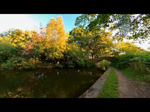
Hopwas Forest Canal Early Morning Walk, English Countryside 4K. Walking Tour

Join me on an early morning walk along the Birmingham & Fazeley Canal alongside the Hopwas Forest, enjoying the beautiful ...

Top Rides in Drayton Manor NEW Vikings | May Bank Holiday Tour

A whole land of discovery Experience a whole new land of discovery in Vikings! Enjoy our all-new, exhilarating rides and ...

Nearby Amenities

Located within 500m of 52.642413,-1.7206416
Bus Stop
Newstead
Bus: yes
Naptan AtcoCode: 3800C902500
Naptan Bearing: S
Naptan CommonName: Newstead
Naptan Indicator: Opp
Naptan Landmark: Newstead
Naptan PlusbusZoneRef: TAMWORTH
Naptan Street: Buckingham Rd
Naptan Verified: no
Public Transport: platform
Source: naptan_import
Lat/Long: 52.6411195/-1.7188967
Cavendish
Naptan AtcoCode: 3800C905801
Naptan Bearing: SE
Naptan BusStopType: CUS
Naptan CommonName: Cavendish
Naptan Indicator: Adj
Naptan Landmark: Cavendish
Naptan PlusbusZoneRef: TAMWORTH
Naptan Street: Mariner
Naptan Verified: no
Source: naptan_import
Lat/Long: 52.6433244/-1.7160893
Cavendish
Naptan AtcoCode: 3800C905802
Naptan Bearing: NW
Naptan BusStopType: CUS
Naptan CommonName: Cavendish
Naptan Indicator: opp
Naptan Landmark: Cavendish
Naptan PlusbusZoneRef: TAMWORTH
Naptan Street: Mariner
Naptan Verified: no
Source: naptan_import
Lat/Long: 52.6431895/-1.7160754
Bus Stop
Footpath Oxbridge Way
Bus: yes
Naptan AtcoCode: 3800C908001
Naptan Bearing: SE
Naptan CommonName: Footpath Oxbridge Way
Naptan Indicator: Adj
Naptan Landmark: Footpath Oxbridge Way
Naptan PlusbusZoneRef: TAMWORTH
Naptan Street: Lichfield Road
Naptan Verified: no
Public Transport: platform
Source: naptan_import
Lat/Long: 52.6404834/-1.7236151
Bus Stop
Buckingham Road
Bus: yes
Naptan AtcoCode: 3800C917501
Naptan Bearing: NW
Naptan CommonName: Buckingham Road
Naptan Indicator: Opp
Naptan Landmark: Buckingham Rd
Naptan PlusbusZoneRef: TAMWORTH
Naptan Street: Lichfield Rd
Naptan Verified: yes
Public Transport: platform
Shelter: yes
Source: naptan_import
Lat/Long: 52.6411055/-1.7253837
Bus Stop
Buckingham Road
Bus: yes
Naptan AtcoCode: 3800C917502
Naptan Bearing: SE
Naptan CommonName: Buckingham Road
Naptan Indicator: Adj
Naptan Landmark: Buckingham Rd
Naptan PlusbusZoneRef: TAMWORTH
Naptan Street: Lichfield Rd
Naptan Verified: no
Public Transport: platform
Source: naptan_import
Lat/Long: 52.6406817/-1.7238503
Bus Stop
Mariner
Bus: yes
Naptan AtcoCode: 3800C918801
Naptan Bearing: NE
Naptan CommonName: Mariner
Naptan Indicator: Opp
Naptan Landmark: Mariner
Naptan PlusbusZoneRef: TAMWORTH
Naptan Street: Coton Ln
Public Transport: platform
Shelter: no
Source: naptan_import;survey
Lat/Long: 52.6458542/-1.7212642
Bus Stop
Mariner
Bus: yes
Naptan AtcoCode: 3800C918802
Naptan Bearing: SW
Naptan CommonName: Mariner
Naptan Indicator: Adj
Naptan Landmark: Mariner
Naptan PlusbusZoneRef: TAMWORTH
Naptan Street: Coton Ln
Public Transport: platform
Shelter: no
Source: naptan_import;survey
Lat/Long: 52.645833/-1.720972
Bus Stop
Calfield
Bus: yes
Naptan AtcoCode: 3800C919201
Naptan Bearing: N
Naptan CommonName: Calfield
Naptan Indicator: Adj
Naptan Landmark: Calfield
Naptan PlusbusZoneRef: TAMWORTH
Naptan Street: Buckingham Rd
Naptan Verified: no
Public Transport: platform
Source: naptan_import
Lat/Long: 52.6425546/-1.7251391
Bus Stop
Evergreen House
Bus: yes
Naptan AtcoCode: 3800C919301
Naptan Bearing: NW
Naptan CommonName: Evergreen House
Naptan Indicator: Opp
Naptan Landmark: Evergreen House
Naptan PlusbusZoneRef: TAMWORTH
Naptan Street: Lichfield Rd
Naptan Verified: no
Public Transport: platform
Source: naptan_import
Lat/Long: 52.6399216/-1.7217418
Bus Stop
Evergreen House
Bus: yes
Naptan AtcoCode: 3800C919302
Naptan Bearing: SE
Naptan CommonName: Evergreen House
Naptan Indicator: Adj
Naptan Landmark: Evergreen House
Naptan PlusbusZoneRef: TAMWORTH
Naptan Street: Lichfield Rd
Naptan Verified: no
Public Transport: platform
Source: naptan_import
Lat/Long: 52.6399571/-1.7215347
Bus Stop
Buckingham Road
Bus: yes
Naptan AtcoCode: 3800C919401
Naptan Bearing: NW
Naptan CommonName: Buckingham Road
Naptan Indicator: Opp
Naptan Landmark: Buckingham Rd
Naptan PlusbusZoneRef: TAMWORTH
Naptan Street: Lichfield Rd
Naptan Verified: no
Public Transport: platform
Source: naptan_import
Lat/Long: 52.6385003/-1.7175835
Bus Stop
Helingham
Bus: yes
Naptan AtcoCode: 3800C930601
Naptan Bearing: E
Naptan CommonName: Helingham
Naptan Indicator: Adj
Naptan Landmark: Helingham
Naptan PlusbusZoneRef: TAMWORTH
Naptan Street: Coton Ln
Naptan Verified: no
Public Transport: platform
Source: naptan_import
Lat/Long: 52.64442/-1.7270931
Coton Farm
Place: village
Source: survey;OS_OpenData_StreetView
Lat/Long: 52.6424727/-1.7225785
Power: tower
Source: survey
Lat/Long: 52.6458839/-1.7204926
Operator: Central Networks
Power: substation
Source: visual survey;estimate
Lat/Long: 52.6451625/-1.7202667
Operator: Central Networks
Power: substation
Ref: G 640
Source: survey
Lat/Long: 52.6438022/-1.7230458
Man Made: tower
Source: visual survey;estimate
Tower Type: communication
Lat/Long: 52.6465071/-1.7189151
Alter Ego The Salon
Shop: hairdresser
Source: survey
Lat/Long: 52.6433651/-1.7226648
Power: tower
Source: survey
Lat/Long: 52.6434566/-1.723209
S K Food & Wine
Shop: convenience
Source: survey
Lat/Long: 52.6434413/-1.7228229
Source: survey
Structure: yes
Utility: gas
Lat/Long: 52.6451593/-1.7210463
ACD Interiors
Man Made: works
Source: survey
Lat/Long: 52.6435008/-1.7178885
Addr City: Tamworth
Addr Housename: Pim House
Addr Postcode: B79 7UL
Addr Street: Mariner
Source: survey
Lat/Long: 52.6453275/-1.7202999
Addr City: Tamworth
Addr Housename: Denis House
Addr Postcode: B79 7UL
Addr Street: Mariner
Source: survey
Lat/Long: 52.6445508/-1.7196698
Satellite Thal
Man Made: works
Source: survey
Lat/Long: 52.6409205/-1.7158576
Barrier: cycle_barrier
Source: visual survey;estimate
Lat/Long: 52.6439244/-1.7148153
Operator: Central Networks
Power: substation
Source: survey
Lat/Long: 52.6429955/-1.7149241
Collin & Hobson
Man Made: works
Source: survey
Lat/Long: 52.6405669/-1.7152573
Source: survey
Structure: yes
Utility: gas
Lat/Long: 52.6438207/-1.7167877
Barrier: bollard
Source: survey
Lat/Long: 52.6433324/-1.7148953
Man Made: tower
Operator: T-Mobile
Tower Type: communication
Lat/Long: 52.6426893/-1.7151832
Flight Case Warehouse
Addr City: Tamworth
Addr Postcode: B79 7UW
Addr Street: Gerard
Man Made: works
Source: survey
Website: https://www.flightcasewarehouse.co.uk/
Lat/Long: 52.642682/-1.7173456
Toughened Glass Ltd
Man Made: works
Source: survey
Lat/Long: 52.6432533/-1.7178691
Man Made: surveillance
Source: survey
Lat/Long: 52.6432541/-1.7148561
Power: tower
Lat/Long: 52.640952/-1.7260856
Crossing
Crossing: traffic_signals
Crossing Ref: toucan
Lat/Long: 52.640478/-1.7234328
Post Box
Postal Code: B79
Ref: B79 1327
Source: GPS Survey
Lat/Long: 52.6413523/-1.7247907
Post Box
Postal Code: B79
Ref: B79 1423
Source: GPS Survey
Lat/Long: 52.6383529/-1.719512
Mini Roundabout
Direction: clockwise
Lat/Long: 52.6381726/-1.7195949
Noexit: yes
Lat/Long: 52.6451385/-1.7240247
Noexit: yes
Lat/Long: 52.6451865/-1.7239094
Noexit: yes
Lat/Long: 52.6459701/-1.7234775
Noexit: yes
Lat/Long: 52.6456991/-1.7226071
Noexit: yes
Lat/Long: 52.6455216/-1.7230222
Barrier: yes
Lat/Long: 52.6441766/-1.714171
Noexit: yes
Lat/Long: 52.6456397/-1.724537
The data included in this document is from www.openstreetmap.org. The data is made available under ODbL.

Have you been to Leyfields?

Leave your review of Leyfields below (or comments, questions and feedback).