The Dingle
Valley in Northamptonshire
England
The Dingle
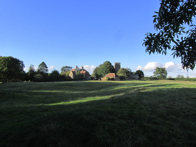
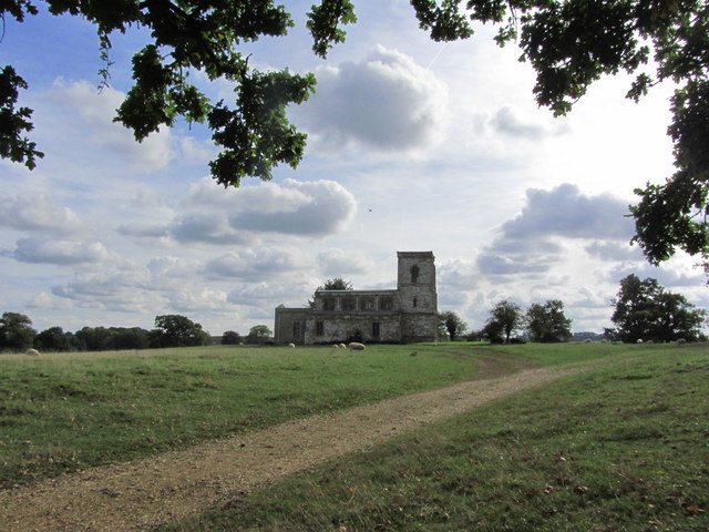
The Dingle is a picturesque valley located in the county of Northamptonshire, England. Nestled amidst the rolling countryside, this hidden gem is a popular destination for nature lovers and outdoor enthusiasts.
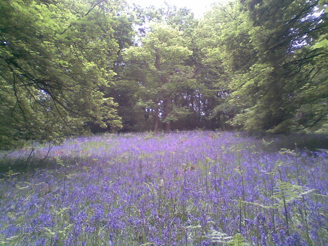
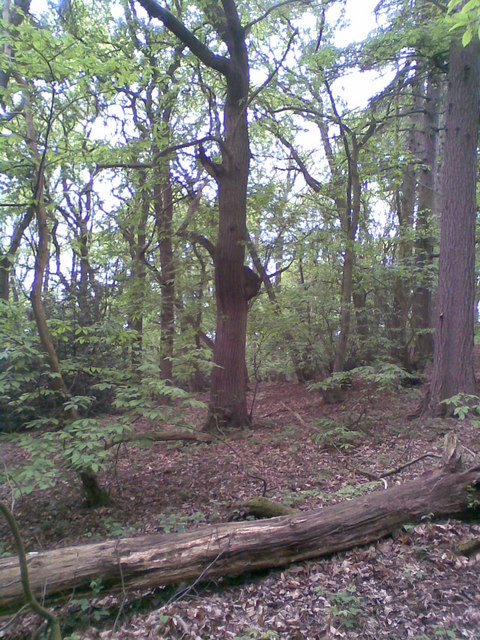
The Dingle is characterized by its lush greenery, dense woodlands, and a meandering stream that runs through the valley. The valley is known for its diverse flora and fauna, boasting a wide variety of plant species and providing a natural habitat for numerous animals. It is a designated Site of Special Scientific Interest (SSSI), reflecting its ecological significance.
Visitors to The Dingle can enjoy a range of activities such as walking, hiking, and birdwatching. There are several well-marked trails that lead through the valley, allowing visitors to explore its beauty at their own pace. The tranquil atmosphere and breathtaking views make it an ideal spot for a peaceful retreat or a family outing.
In addition to its natural wonders, The Dingle also holds historical significance. The valley is home to the remains of an ancient iron-age hillfort, providing a glimpse into the area's rich past.
Access to The Dingle is easy, with designated parking areas and well-maintained footpaths. The valley is open to the public year-round, and admission is free. Whether one seeks solace in nature, wants to discover local wildlife, or wishes to immerse themselves in history, The Dingle offers a memorable experience for all who visit.
If you have any feedback on the listing, please let us know in the comments section below.
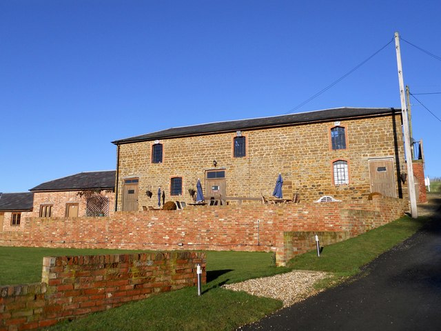
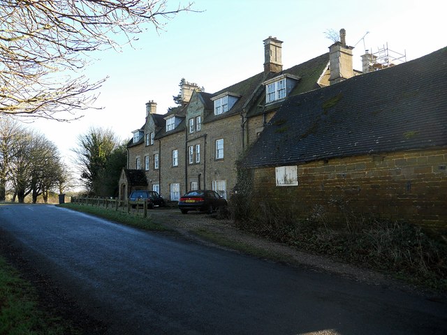
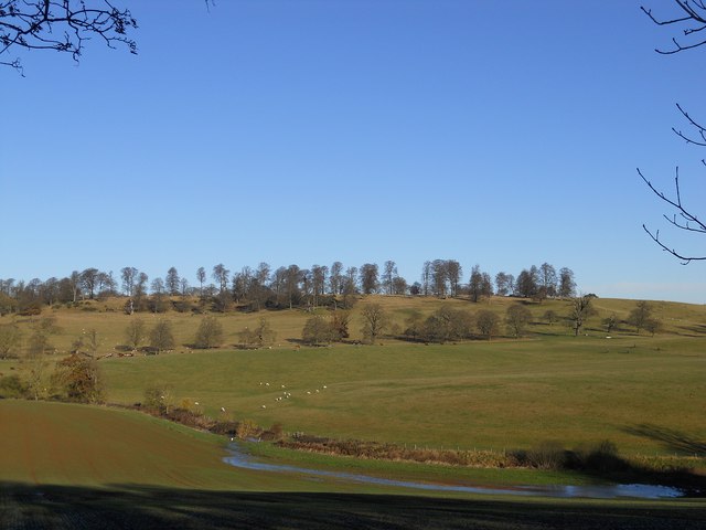
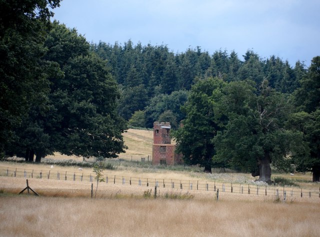
The Dingle Images
Images are sourced within 2km of 52.204354/-1.1840219 or Grid Reference SP5556. Thanks to Geograph Open Source API. All images are credited.


The Dingle is located at Grid Ref: SP5556 (Lat: 52.204354, Lng: -1.1840219)
Unitary Authority: West Northamptonshire
Police Authority: Northamptonshire
What 3 Words
///major.sports.variances. Near Hinton, Northamptonshire
Nearby Locations
Related Wikis

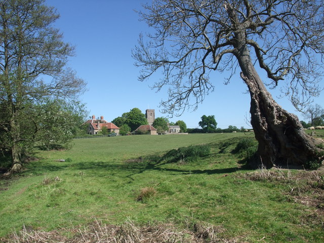
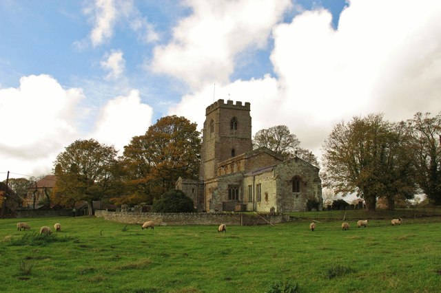
Fawsley
Fawsley is a hamlet and civil parish in West Northamptonshire, England. The population at the 2001 census was 32. At the 2011 census the population remained...

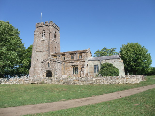
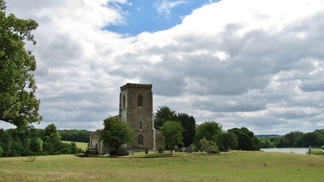
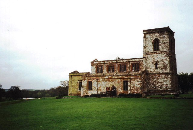
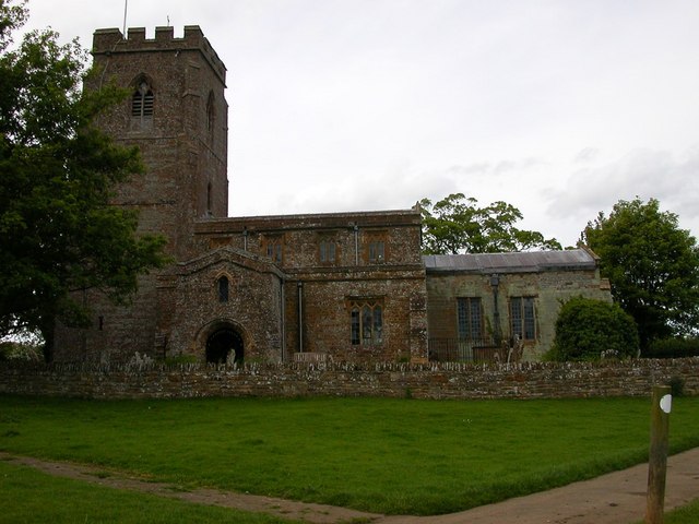
Church of St Mary the Virgin, Fawsley
The Church of St Mary the Virgin is a Church of England parish church in Fawsley, Northamptonshire, England. It serves the parish of Fawsley under the...
Church Charwelton (lost settlement)
The lost village of Church Charwelton lies south-east of the village of Charwelton in the English county of Northamptonshire. Its site is on the north...
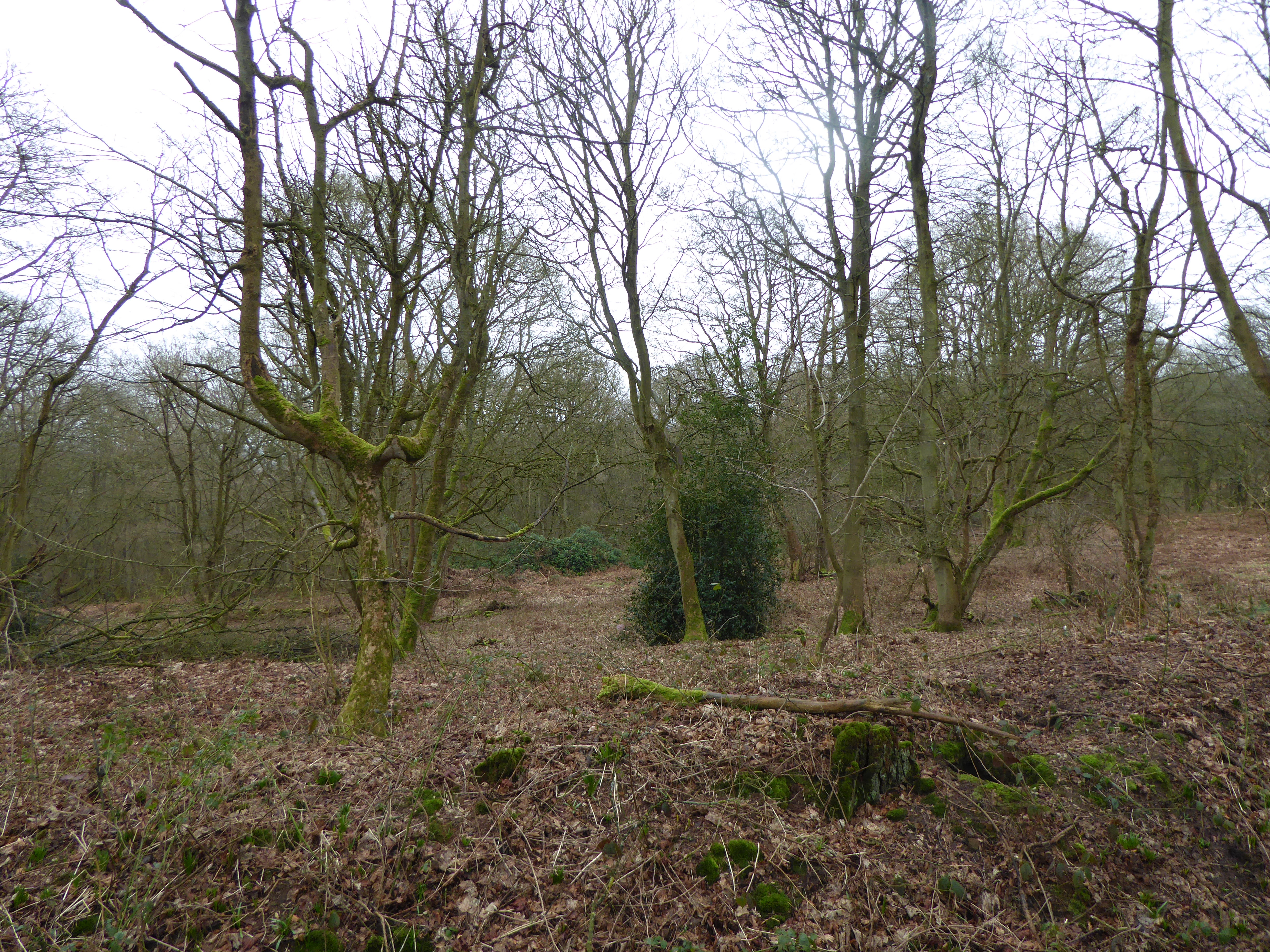
Badby Wood
Badby Wood is a 47.2-hectare (117-acre) biological Site of Special Scientific Interest (SSSI) south of Badby in Northamptonshire.This is ancient semi-natural...
Nearby Amenities
Located within 500m of 52.204354,-1.1840219Have you been to The Dingle?
Leave your review of The Dingle below (or comments, questions and feedback).