Ivyhouse Gully
Valley in Berkshire
England
Ivyhouse Gully

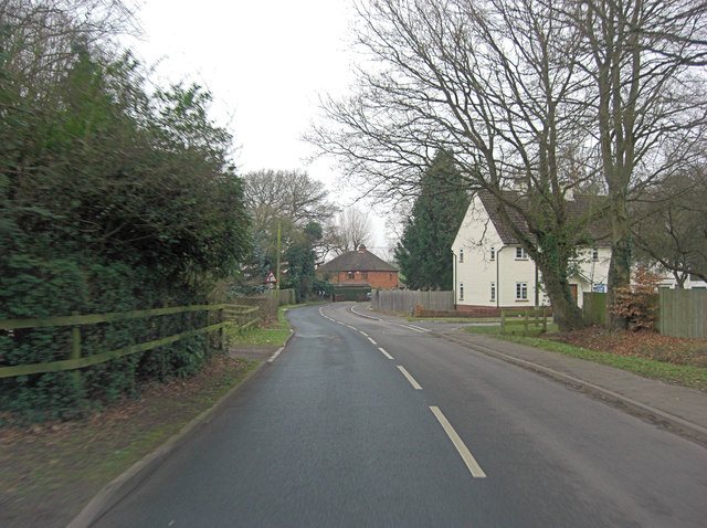
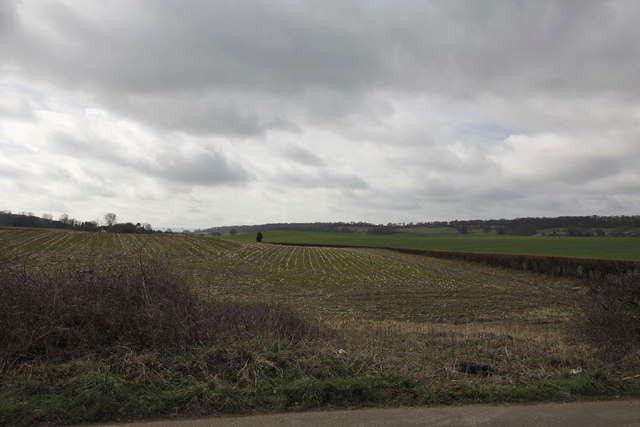
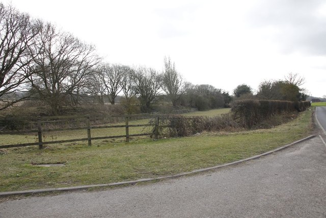
Ivyhouse Gully is a picturesque valley located in the county of Berkshire, England. Situated in the heart of the Berkshire Downs, this natural wonder offers visitors a serene and tranquil escape from the hustle and bustle of everyday life.
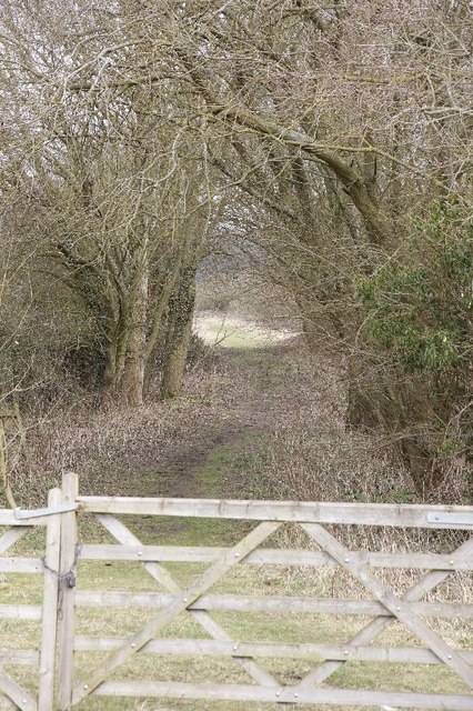
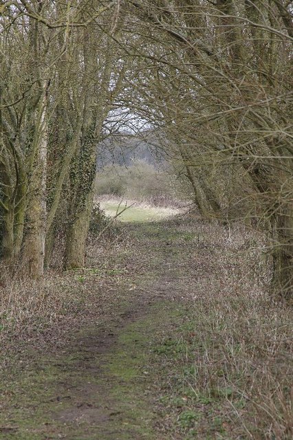
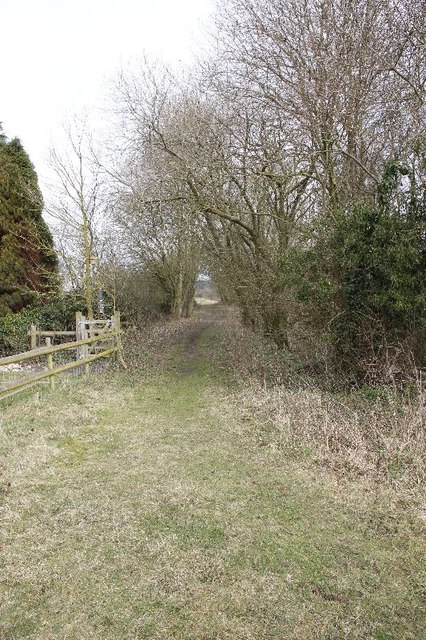
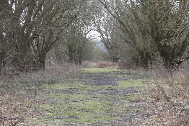
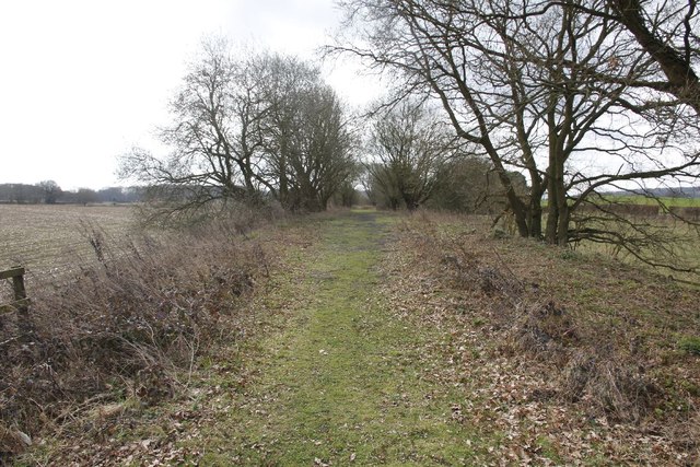
The gully is characterized by its lush green vegetation, towering trees, and a meandering stream that flows through its center. The valley is home to a diverse range of flora and fauna, making it a popular spot for nature enthusiasts and wildlife lovers. Visitors can expect to encounter a variety of birds, butterflies, and small mammals as they explore the area.
The gully is also known for its striking geological features, including exposed rock formations and cliffs that provide a glimpse into the area's past. These rock formations are a testament to the valley's ancient history and have captivated geologists and archaeologists alike.
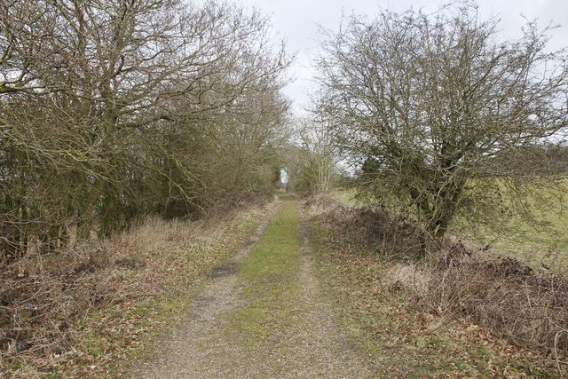
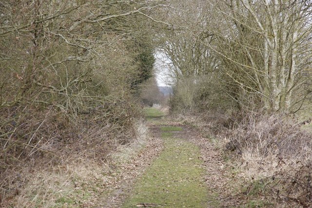
For those seeking outdoor activities, Ivyhouse Gully offers several walking trails and hiking routes that allow visitors to fully immerse themselves in the beauty of the surroundings. The trails vary in difficulty, catering to both novice and experienced hikers.
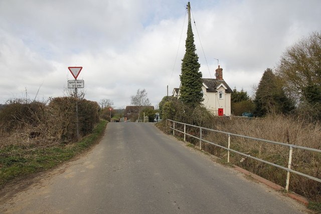
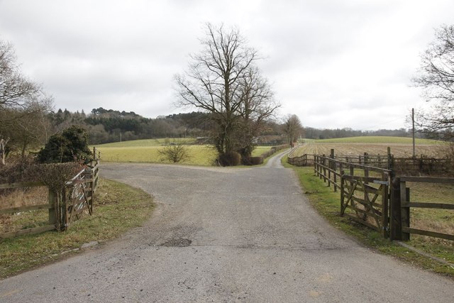
The valley is easily accessible, with a car park located nearby, providing convenient access for visitors. Whether you're looking for a peaceful stroll, a scenic picnic spot, or a chance to connect with nature, Ivyhouse Gully is a must-visit destination in Berkshire.
If you have any feedback on the listing, please let us know in the comments section below.
Ivyhouse Gully Images
Images are sourced within 2km of 51.434326/-1.2748607 or Grid Reference SU5070. Thanks to Geograph Open Source API. All images are credited.


Ivyhouse Gully is located at Grid Ref: SU5070 (Lat: 51.434326, Lng: -1.2748607)
Unitary Authority: West Berkshire
Police Authority: Thames Valley
What 3 Words
///supper.raven.followers. Near Cold Ash, Berkshire
Nearby Locations
Related Wikis
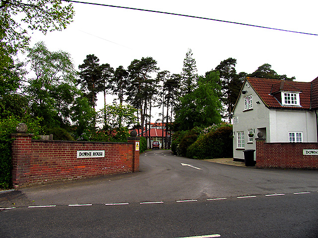
Downe House School
Downe House School is a selective independent girls' boarding and day school in Cold Ash, a village near Newbury, Berkshire, for girls aged 11–18.The Good...

Order of Silence
The Order of Silence (also known as The White Ladies) was a small Christian community based in Cold Ash, Berkshire between 1912 and 1921.Members of the...

Cold Ash Quarry
Cold Ash Quarry is a 0.4-hectare (0.99-acre) geological Site of Special Scientific Interest north of Newbury in Berkshire. It is a Geological Conservation...

Cold Ash
Cold Ash is a village and civil parish in West Berkshire centred 1 mile (1.6 km) from Thatcham and 2.5 miles (4 km) northeast of Newbury. == Geography... ==

Ashmore Green
Ashmore Green is a small hamlet in Berkshire, England. It is situated just to the west of the village of Cold Ash and to the north of Thatcham in the West...

Grimsbury Castle
Grimsbury Castle is an Iron Age "multiple enclosure" Hill Fort comprising a large circular encampment situated on a high hill. It is situated within Grimsbury...

Curridge
Curridge is a village in the civil parish of Chieveley in the English county of Berkshire. == Geography == Curridge is located in the south-east of the...

Hermitage railway station
Hermitage railway station was a railway station on the Didcot, Newbury and Southampton Railway which served the villages of Hermitage and Oare in Berkshire...
Nearby Amenities
Located within 500m of 51.434326,-1.2748607Have you been to Ivyhouse Gully?
Leave your review of Ivyhouse Gully below (or comments, questions and feedback).