Omand's Dale

Valley in Shetland

Scotland

Omand's Dale

Confluence on Burn of Rulesgill Lush vegetation amidst the heathery expanse of the moors west of Gloup. Hill of Bakkanalee in the distance.
Confluence on Burn of Rulesgill Credit: Alan Bowring

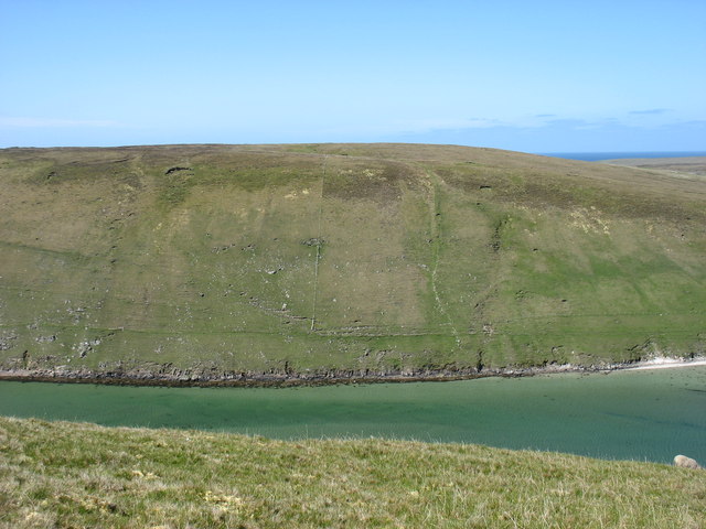
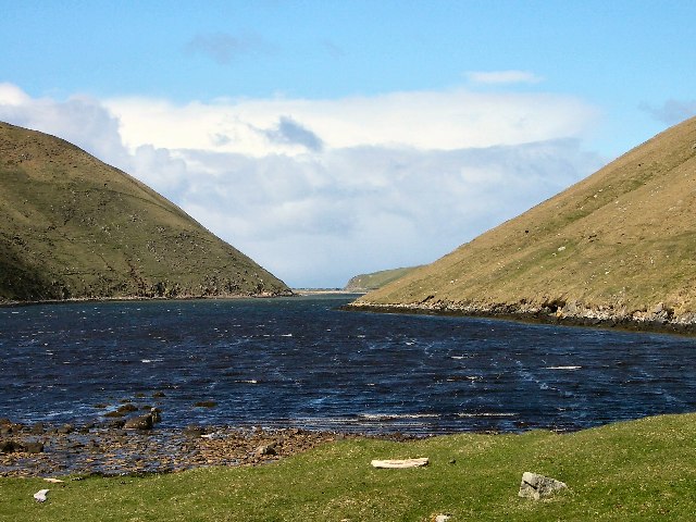
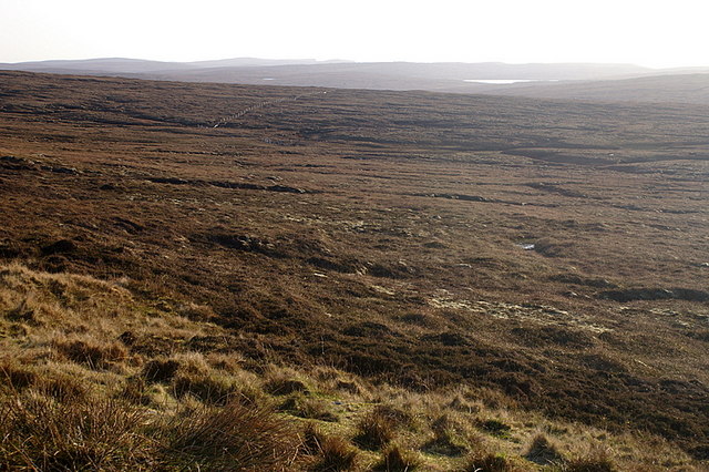
Omand's Dale is a picturesque valley located on the Shetland Islands in Scotland. Nestled between rolling hills and overlooking the North Sea, it offers breathtaking views and a tranquil atmosphere. The valley is situated on the eastern side of the mainland, near the village of Scalloway.

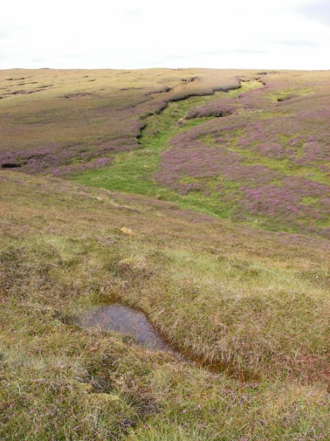
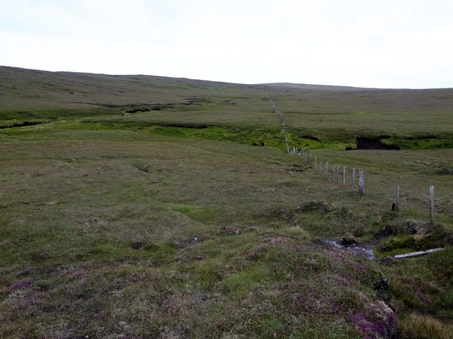
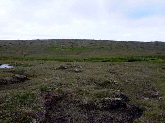
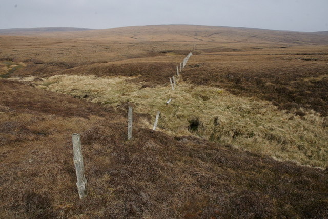
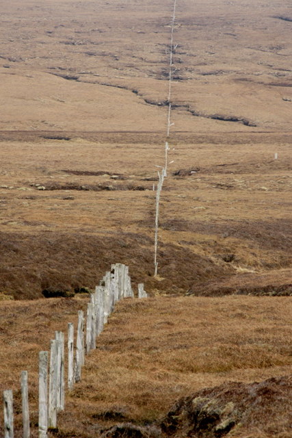
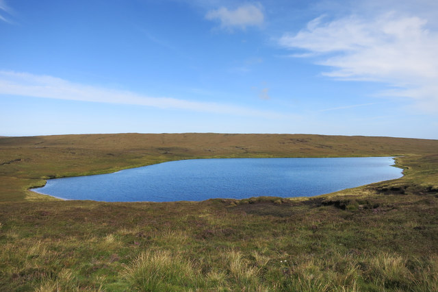
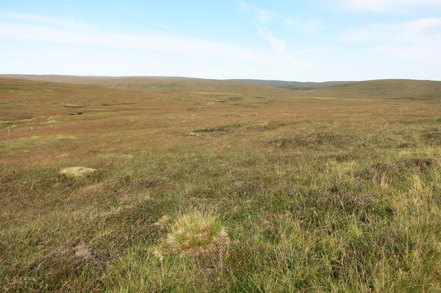
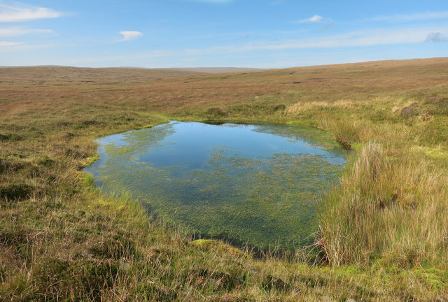
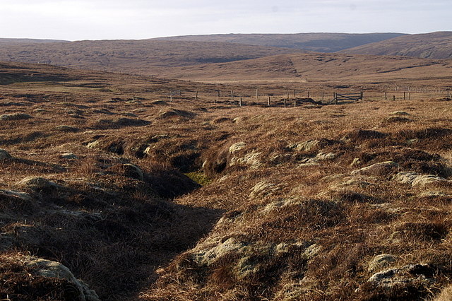
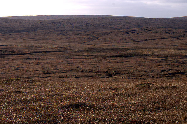
Omand's Dale is known for its rugged beauty, with steep cliffs, cascading waterfalls, and lush greenery. The valley is home to a diverse range of flora and fauna, including heather, wildflowers, and various species of birds. It is a haven for nature enthusiasts and photographers, providing ample opportunities for exploration and outdoor activities.

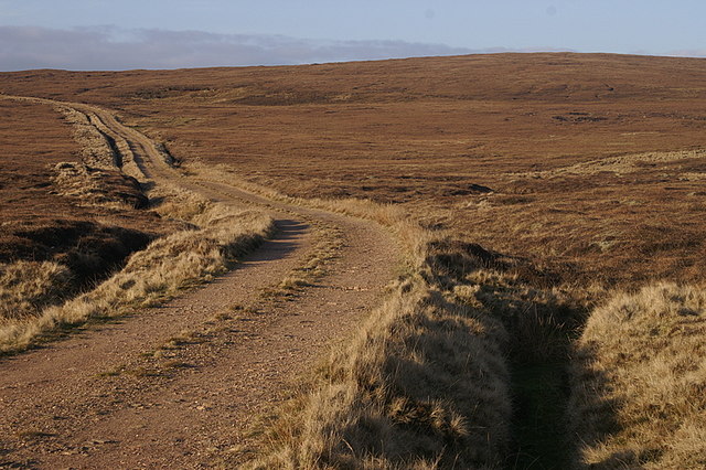
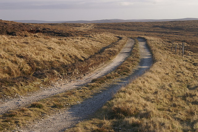
The valley's unique geography attracts visitors from far and wide. It features a narrow winding road that leads down into the heart of the valley, offering panoramic views of the surrounding landscape. The road is lined with stone walls and small cottages, adding to the charm of the area.

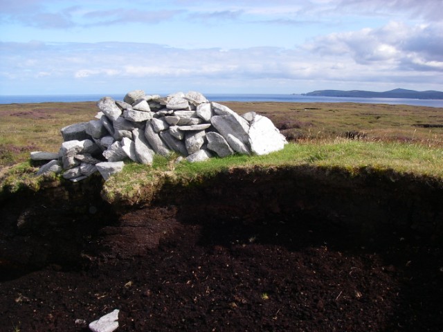
Omand's Dale is also rich in history. It is believed to have been inhabited since ancient times, with remnants of prehistoric settlements and burial sites found in the vicinity. The valley has witnessed the passage of time and has been shaped by the forces of nature, creating a sense of awe and wonder.

Visitors to Omand's Dale can enjoy walking trails that lead through the valley, providing an opportunity to immerse themselves in the natural beauty and tranquility of the surroundings. Whether it's a leisurely stroll or a more challenging hike, the valley offers something for everyone.

Overall, Omand's Dale is a hidden gem on the Shetland Islands, offering a unique combination of stunning landscapes, rich history, and a peaceful ambiance that makes it a must-visit destination for nature lovers and history enthusiasts alike.

If you have any feedback on the listing, please let us know in the comments section below.

Omand's Dale Images

Images are sourced within 2km of 60.697063/-1.0775086 or Grid Reference HP5001. Thanks to Geograph Open Source API. All images are credited.

Confluence on Burn of Rulesgill Lush vegetation amidst the heathery expanse of the moors west of Gloup. Hill of Bakkanalee in the distance.
Confluence on Burn of Rulesgill
Lush vegetation amidst the heathery expanse of the moors west of Gloup. Hill of Bakkanalee in the distance.
Rough cairn capping Hill of Bakkanalee Hermaness and Muckle Flugga are seen in the distance at the northern end of Unst. Lumps of the local rock have been brought together here on top of the thick peat covering the psammitic bedrock which forms most of Yell.
Rough cairn capping Hill of Bakkanalee
Hermaness and Muckle Flugga are seen in the distance at the northern end of Unst. Lumps of the local rock have been brought together here on top of the thick peat covering the psammitic bedrock which forms most of Yell.
Looking west along a fence, Tonga Field The fence contributes most of the interest in square HU4901.  The Burn of Amframires, which the fence crosses, is a sluggish peaty stream littered with occasional dead sheep.
Looking west along a fence, Tonga Field
The fence contributes most of the interest in square HU4901. The Burn of Amframires, which the fence crosses, is a sluggish peaty stream littered with occasional dead sheep.
Amfra Mires and Fugla Field Amfra Mires lives up to its name.  It is very wet!  HU4901 is a very dull square.
Amfra Mires and Fugla Field
Amfra Mires lives up to its name. It is very wet! HU4901 is a very dull square.
Old fence near the Burn of Gossawater Just the fence posts remain, marching in a straight line towards Tittynans Hill.
Old fence near the Burn of Gossawater
Just the fence posts remain, marching in a straight line towards Tittynans Hill.
Old fence near the Burn of Gossawater Just the fence posts remain. The old fence line crosses the burn before ascending Tittynans Hill.
Old fence near the Burn of Gossawater
Just the fence posts remain. The old fence line crosses the burn before ascending Tittynans Hill.
Muskra Loch
Muskra Loch
Drying Peat by the Road Cut peat piled on old pallets over a ditch is a good way of getting the air all round the stack.
Drying Peat by the Road
Cut peat piled on old pallets over a ditch is a good way of getting the air all round the stack.
Track through the moors If you fancy a change from sea and cliffs, the unsurfaced road between Cullivoe and Sellafirth is an excellent way to get an idea of the desolate interior part of Yell without having to trudge through all those tiresome wet bits.
Track through the moors
If you fancy a change from sea and cliffs, the unsurfaced road between Cullivoe and Sellafirth is an excellent way to get an idea of the desolate interior part of Yell without having to trudge through all those tiresome wet bits.
Kedills Mires Put the marker almost anywhere, you can see pretty much the whole square from here.
It looks fairly inaccessible, but someone has put a fence through the middle of it all.
In the background is the intriguingly named Little Bratt-houll, which sounds like somewhere they sent the naughty children, but I don't suppose it was.
Kedills Mires
Put the marker almost anywhere, you can see pretty much the whole square from here. It looks fairly inaccessible, but someone has put a fence through the middle of it all. In the background is the intriguingly named Little Bratt-houll, which sounds like somewhere they sent the naughty children, but I don't suppose it was.
Pool, Burn of Kedills Mires More or less the source of a small stream that runs down through the mires to the sea at Gloup Voe.
Pool, Burn of Kedills Mires
More or less the source of a small stream that runs down through the mires to the sea at Gloup Voe.
Wester Lee of Gloup
Wester Lee of Gloup
Head of Gloup Voe Gloup Voe is over 2km long, running north-south. In the village of Gloup there is a memorial to local fishermen lost in a storm in the 19th century.
Head of Gloup Voe
Gloup Voe is over 2km long, running north-south. In the village of Gloup there is a memorial to local fishermen lost in a storm in the 19th century.
Kedills Mires The view across the mires to Hill of Vigon, one of the least visited corners of Shetland.
Kedills Mires
The view across the mires to Hill of Vigon, one of the least visited corners of Shetland.
Kedills Mires A great big empty corner of Yell.
Kedills Mires
A great big empty corner of Yell.
View towards Moss Houll The old road between Dalsetter and Cullivoe, which was never upgraded.
View towards Moss Houll
The old road between Dalsetter and Cullivoe, which was never upgraded.
Old road passing Moss Houll The track between Dalsetter and Cullivoe was a fairly well-used road, but fell into dis-use once other roads were upgraded.
Old road passing Moss Houll
The track between Dalsetter and Cullivoe was a fairly well-used road, but fell into dis-use once other roads were upgraded.
View to the south-west from Moss Houll Looking towards the coast just north of West Sandwick; Gossa Water can just be seen in the distance.
View to the south-west from Moss Houll
Looking towards the coast just north of West Sandwick; Gossa Water can just be seen in the distance.
Show me another place!

Omand's Dale is located at Grid Ref: HP5001 (Lat: 60.697063, Lng: -1.0775086)

Unitary Authority: Shetland Islands

Police Authority: Highlands and Islands

What 3 Words

///losing.twitches.joked. Near Gutcher, Shetland Islands

Nearby Locations

Omand's Dale

Related Wikis

Gloup

Note: Gloup is common in Scottish placenames referring to a sea jet. Gloup is a village in the far north of the island of Yell in the Shetland Islands...

Cullivoe

Cullivoe (Old Norse: Kollavágr - Bay of Kolli), is a village on Yell in the Shetland Islands. It is in the north east of the island, near Bluemull Sound...

Bluemull Sound

Bluemull Sound is the strait between Unst and Yell in Shetland's North Isles. A ferry service crosses it regularly. Cullivoe is on the Yell side, and the...

Gutcher

Gutcher is a settlement on the northeast coast of Yell in the Shetland islands. From here, rollon/roll off ferry services to Belmont on Unst and Hamars...

Have you been to Omand's Dale?

Leave your review of Omand's Dale below (or comments, questions and feedback).