Coomb Slack

Valley in Yorkshire Ryedale

England

Coomb Slack

Shadowed moorland at edge of Arden Great Moor A view from the estate road at the northern rim of Arden Great Moor. Beyond the immediate heather is the valley of the River Rye.
Cringle Moor is part of the distant high ground.
Shadowed moorland at edge of Arden Great Moor Credit: Trevor Littlewood

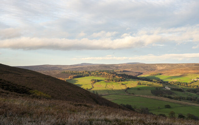
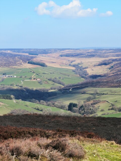
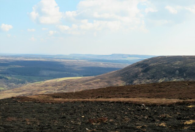
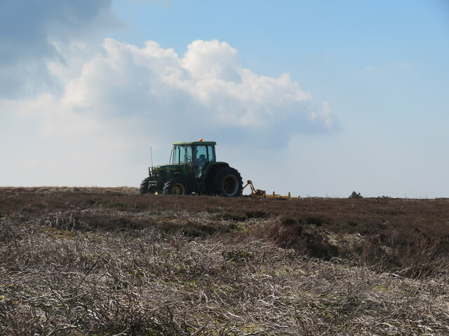
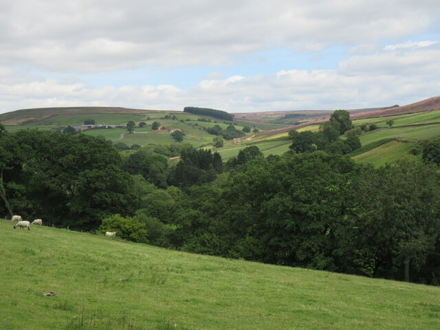
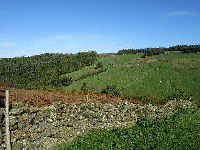
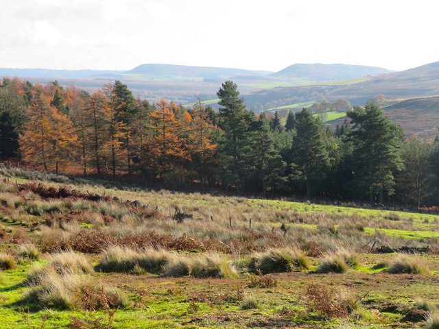
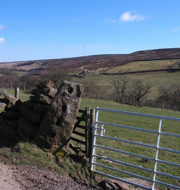
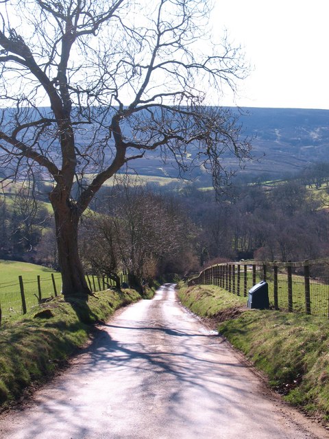
Coomb Slack is a picturesque valley located in the county of Yorkshire, England. Nestled amidst the rolling hills and verdant countryside, it offers a tranquil and scenic retreat for nature enthusiasts and outdoor adventurers alike.

The valley is characterized by its lush green meadows, dotted with vibrant wildflowers during the spring and summer months. It is crisscrossed by a meandering stream, which adds to the charm of the landscape. The gentle babbling of the water and the melodic chirping of birds create a soothing ambiance that is perfect for relaxation and rejuvenation.

Coomb Slack is home to a diverse range of flora and fauna, making it a haven for wildlife enthusiasts. It is not uncommon to spot various species of birds, including woodpeckers, kingfishers, and owls, as well as small mammals such as rabbits and squirrels. The valley also boasts a rich variety of plant life, with species such as bluebells, primroses, and orchids adding splashes of color to the surroundings.

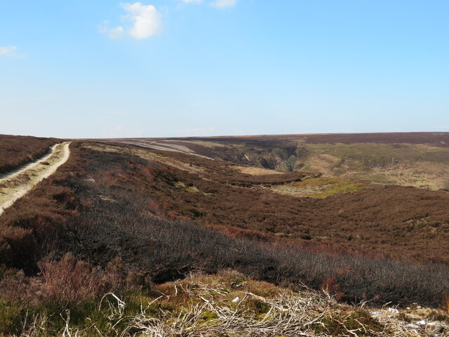
For those seeking outdoor activities, Coomb Slack offers numerous opportunities for hiking, cycling, and picnicking. The valley is intersected by a network of well-maintained footpaths, allowing visitors to explore the area at their own pace. The elevated vantage points also provide breathtaking views of the surrounding countryside, making it a popular spot for photographers and artists.

Overall, Coomb Slack offers a serene and idyllic setting, where visitors can immerse themselves in the beauty of nature and escape the hustle and bustle of everyday life. Whether it's a leisurely stroll, a picnic with loved ones, or simply enjoying the sights and sounds of the valley, this Yorkshire gem has something to offer everyone.

If you have any feedback on the listing, please let us know in the comments section below.

Coomb Slack Images

Images are sourced within 2km of 54.342111/-1.2431854 or Grid Reference SE4994. Thanks to Geograph Open Source API. All images are credited.

Shadowed moorland at edge of Arden Great Moor A view from the estate road at the northern rim of Arden Great Moor. Beyond the immediate heather is the valley of the River Rye.
Cringle Moor is part of the distant high ground.
Shadowed moorland at edge of Arden Great Moor
A view from the estate road at the northern rim of Arden Great Moor. Beyond the immediate heather is the valley of the River Rye. Cringle Moor is part of the distant high ground.
View from Locker Bank Looking east of north from the plateau edge. Some recently burnt heather in the foreground, and with a view across upper Ryedale towards the headwaters of that little river.
View from Locker Bank
Looking east of north from the plateau edge. Some recently burnt heather in the foreground, and with a view across upper Ryedale towards the headwaters of that little river.
Eastward view from Locker Bank Along the curve of Arden Great Moor towards the distant scarp edges of Roppa Edge and beyond. The small white post, left of centre, is one of many scattered across the moor and marks the site of a grit tray for grouse.
Eastward view from Locker Bank
Along the curve of Arden Great Moor towards the distant scarp edges of Roppa Edge and beyond. The small white post, left of centre, is one of many scattered across the moor and marks the site of a grit tray for grouse.
Curious landform at the moor edge The moor edge track is to the left and the head of Locker Gill is ahead, but along the edge of the moor here is a distinct dip and bank immediately above the very steep drop to Locker Wood.  There's another example of this nearby and similar landforms around Rosedale and elsewhere on the moors. I suspect that this is an example of a rotational landslip due to unstable underlying Oxford Clays further down the hillside where there are a series of springs.
Curious landform at the moor edge
The moor edge track is to the left and the head of Locker Gill is ahead, but along the edge of the moor here is a distinct dip and bank immediately above the very steep drop to Locker Wood. There's another example of this nearby and similar landforms around Rosedale and elsewhere on the moors. I suspect that this is an example of a rotational landslip due to unstable underlying Oxford Clays further down the hillside where there are a series of springs.
Tractor at rest This isn't some 40 year old rusting machine, but a relatively modern tractor with an attachment for cutting heather, something that it has been used for recently for trimming areas around patches of heather that were to be burnt off as part of the grouse moor management.
Tractor at rest
This isn't some 40 year old rusting machine, but a relatively modern tractor with an attachment for cutting heather, something that it has been used for recently for trimming areas around patches of heather that were to be burnt off as part of the grouse moor management.
Near Locker Low Wood Looking NE.
Near Locker Low Wood
Looking NE.
Locker Low Moor Looking NW.
Locker Low Moor
Looking NW.
Hillside above Wheat Beck Some rather ill-drained rough grassland leads down towards a forestry plantation which appears to be mostly conifers. In the distance are the familiar outlines of Easterside and Hawnby Hill.
Hillside above Wheat Beck
Some rather ill-drained rough grassland leads down towards a forestry plantation which appears to be mostly conifers. In the distance are the familiar outlines of Easterside and Hawnby Hill.
Old and new in Ryedale In the foreground is an old gate post with holes for horizontal poles. A new metal gate is to the right, whilst in the distance is a small building that was once a school. On the skyline is the Bildale TV transmitter.
Old and new in Ryedale
In the foreground is an old gate post with holes for horizontal poles. A new metal gate is to the right, whilst in the distance is a small building that was once a school. On the skyline is the Bildale TV transmitter.
The road to Hawnby Part of the scenic road through upper Ryedale from Osmotherley to Hawnby.
The road to Hawnby
Part of the scenic road through upper Ryedale from Osmotherley to Hawnby.
Old and new signs in Ryedale A cast iron signpost from the days of the old North Riding with a cycle route 656 sign to the side. In the background is the isolated little building that was once the local school.
Old and new signs in Ryedale
A cast iron signpost from the days of the old North Riding with a cycle route 656 sign to the side. In the background is the isolated little building that was once the local school.
Wheat Beck A small tributary of the Rye, just a few metres upstream from where it joins that particular river.
Wheat Beck
A small tributary of the Rye, just a few metres upstream from where it joins that particular river.
Low Cote Farm Looking across the valley of the infant River Rye to Low Cote Farm, with the bulk of Black Hambleton dominating the background. Low Cote occupies the site of a grange of Byland Abbey.
Low Cote Farm
Looking across the valley of the infant River Rye to Low Cote Farm, with the bulk of Black Hambleton dominating the background. Low Cote occupies the site of a grange of Byland Abbey.
Low Cote Farm A close up view of the farm from across the valley. Brown sandstone walls and pantile roofs are typical of the North York Moors, whilst the 'long house' design with barn and house combined is also common in the area. Newer barns stand on the hillside beyond, but it is good to see that money and effort has been spent in restoring the traditional barn to the left of the road, with repointed walls and a new roof.
Low Cote Farm
A close up view of the farm from across the valley. Brown sandstone walls and pantile roofs are typical of the North York Moors, whilst the 'long house' design with barn and house combined is also common in the area. Newer barns stand on the hillside beyond, but it is good to see that money and effort has been spent in restoring the traditional barn to the left of the road, with repointed walls and a new roof.
Upper Ryedale view The view across the valley of the Rye towards Arns Gill and the moors beyond. The small building near the centre of the photo was once the local school.
Upper Ryedale view
The view across the valley of the Rye towards Arns Gill and the moors beyond. The small building near the centre of the photo was once the local school.
Bridleway to Dale Head Bridleway heading out of upper Ryedale towards Dale Head and heather moorland.
Bridleway to Dale Head
Bridleway heading out of upper Ryedale towards Dale Head and heather moorland.
Where river and beck meet The confluence of the River Rye [left] with Wheat Beck [right] in upper Ryedale.
Where river and beck meet
The confluence of the River Rye [left] with Wheat Beck [right] in upper Ryedale.
Locker Gill Looking towards Locker Gill with the bulk of Black Hambleton beyond. An area of pasture in the foreground soon gives way to rough moorland beyond a stone wall, whilst the gill bottom is filled mostly with oak.
Locker Gill
Looking towards Locker Gill with the bulk of Black Hambleton beyond. An area of pasture in the foreground soon gives way to rough moorland beyond a stone wall, whilst the gill bottom is filled mostly with oak.
Show me another place!

Coomb Slack is located at Grid Ref: SE4994 (Lat: 54.342111, Lng: -1.2431854)

Division: North Riding

Administrative County: North Yorkshire

District: Ryedale

Police Authority: North Yorkshire

What 3 Words

///unwraps.stuff.rivers. Near Bilsdale, North Yorkshire

Related Wikis

Kepwick

Kepwick is a village and civil parish in the Hambleton district of North Yorkshire, England, on the North York Moors and near the A19. The population according...

Nether Silton

Nether Silton is a village and civil parish in the Hambleton District of North Yorkshire, England. It lies 6 miles (9.7 km) east of Northallerton, on...

Over Silton Manor

Over Silton Manor is in the middle of the village of Over Silton in North Yorkshire, England. "The village of Over silton, 1994;39" == History == There...

Over Silton

Over Silton is a village and civil parish in the Hambleton district of North Yorkshire, England, about 6 miles (9.7 km) east of Northallerton and on the...

Thimbleby, North Yorkshire

Thimbleby is a small village and civil parish in the Hambleton District of North Yorkshire, England, it is in the North Yorks Moors and close to the village...

Osmotherley, North Yorkshire

Osmotherley is a village and civil parish in the Hambleton hills in North Yorkshire, six miles north-east of Northallerton. The village is at the western...

Osmotherley Friends Meeting House

Osmotherley Friends Meeting House is a Friends Meeting House of the Religious Society of Friends (Quakers), situated in the village of Osmotherley in North...

Cod Beck Reservoir

Cod Beck Reservoir is a man-made lake situated within the North York Moors National Park and near the village of Osmotherley in the English county of North...

Have you been to Coomb Slack?

Leave your review of Coomb Slack below (or comments, questions and feedback).