Bartestree
Settlement in Herefordshire
England
Bartestree
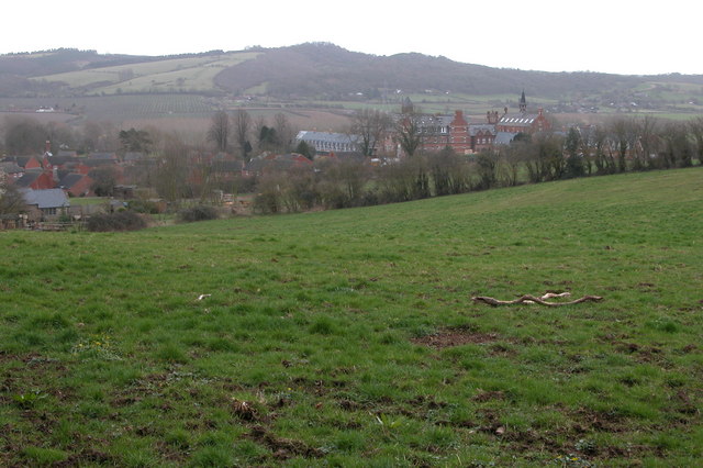
Bartestree is a small village located in the county of Herefordshire, England. Situated approximately five miles east of the city of Hereford, Bartestree is nestled in the beautiful countryside of the Wye Valley. With a population of around 1,500 residents, the village maintains a close-knit and friendly community atmosphere.
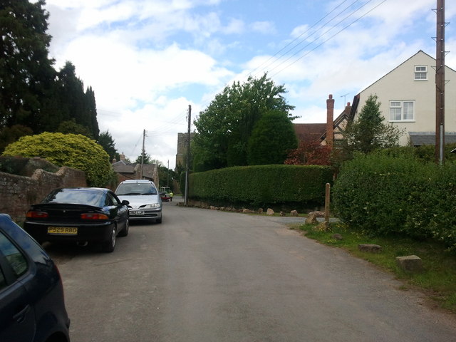
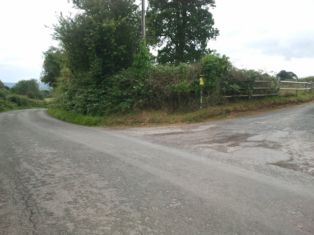
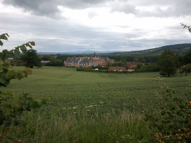
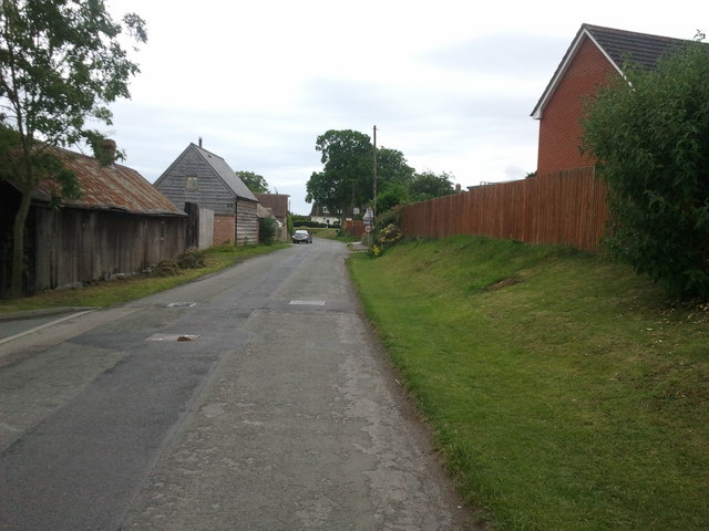
The village is known for its picturesque surroundings, with rolling hills, lush green fields, and charming country lanes. It offers a peaceful and idyllic setting, making it a popular choice for those seeking a rural lifestyle. Despite its tranquility, Bartestree benefits from its close proximity to Hereford, where residents can access a wider range of amenities and services.
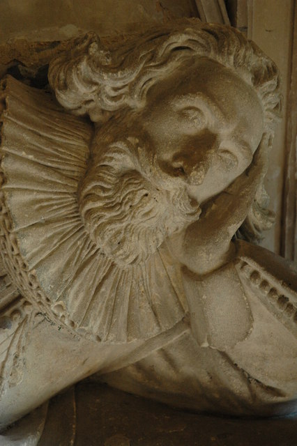
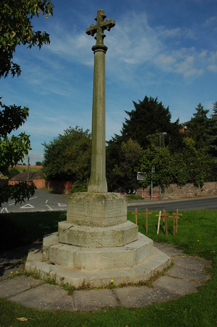
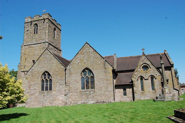
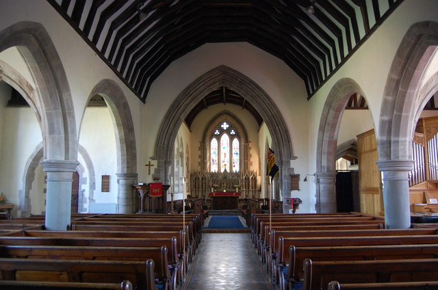
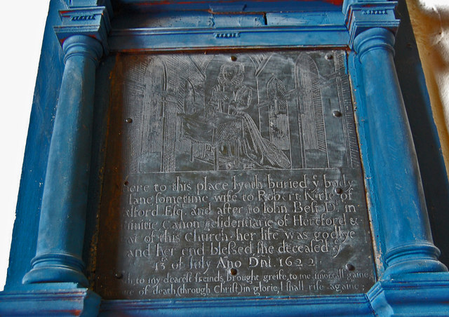
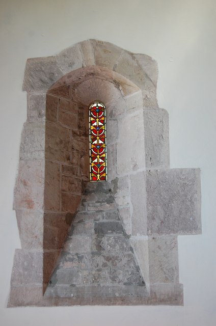
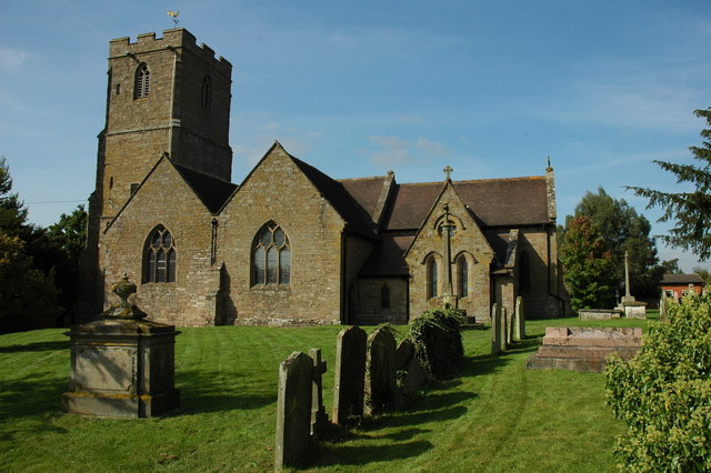
Bartestree boasts a rich history, with evidence of human settlement dating back to the Roman era. The village is home to the St. Michael and All Angels Church, a stunning Grade II listed building that dates back to the 12th century. The church serves as a focal point for the community, hosting regular services and community events.
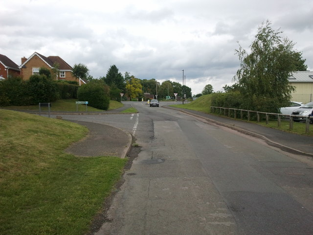
In terms of facilities, Bartestree offers a primary school, a village hall, a post office, and a local pub. The village also benefits from excellent transportation links, with easy access to major roads and public transport services.
Overall, Bartestree, Herefordshire, is a charming and welcoming village that provides a peaceful countryside lifestyle while offering convenient access to nearby amenities and services.
If you have any feedback on the listing, please let us know in the comments section below.
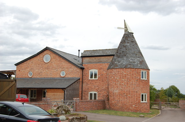
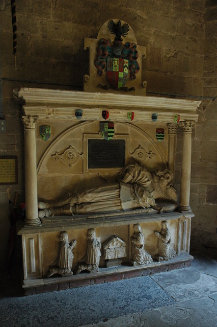
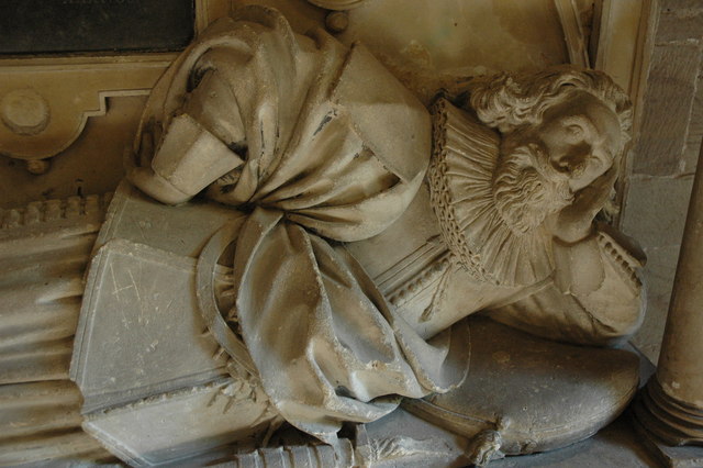
Bartestree Images
Images are sourced within 2km of 52.066539/-2.645246 or Grid Reference SO5541. Thanks to Geograph Open Source API. All images are credited.
Bartestree is located at Grid Ref: SO5541 (Lat: 52.066539, Lng: -2.645246)
Unitary Authority: County of Herefordshire
Police Authority: West Mercia
What 3 Words
///foster.articulated.swooned. Near Lugwardine, Herefordshire
Nearby Locations
Related Wikis
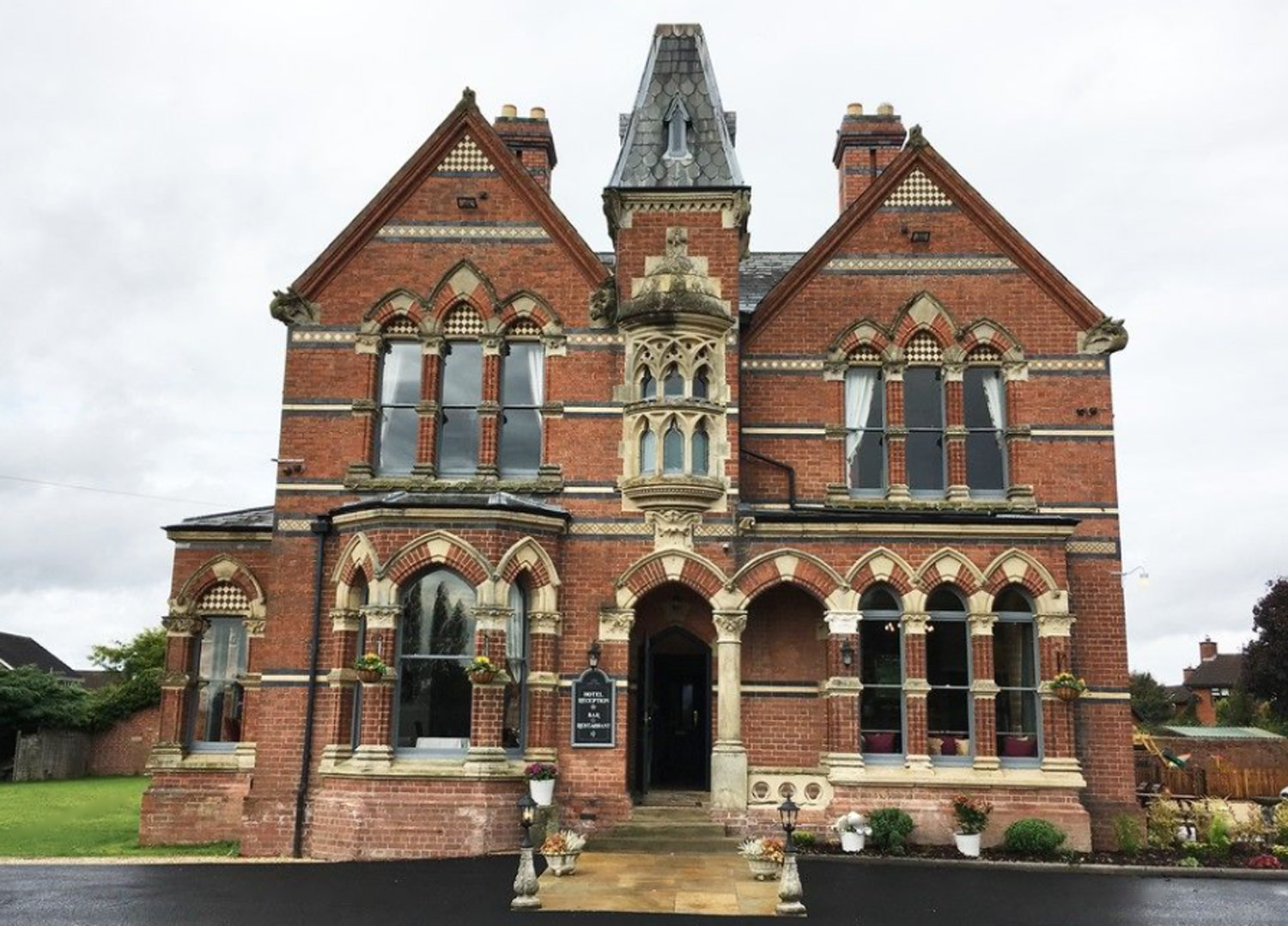
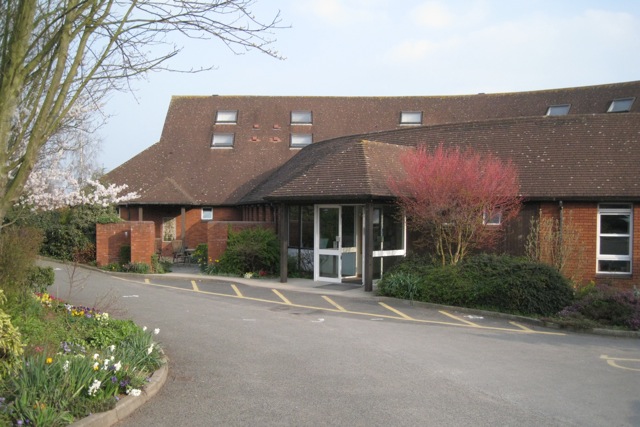
The Godwins Hotel, Bartestree
The Godwins Hotel in Bartestree, Herefordshire, England, is a building of historical significance and is Grade II listed on the English Heritage Register...
Bartestree
Bartestree is a village and civil parish in Herefordshire, England, 7 km (4.3 mi) east of Hereford on the A438 road. The population of the civil parish...

River Frome, Herefordshire
The River Frome is a river in Herefordshire, England. It flows through Bromyard, and Bishops Frome. Immediately below the depopulated village of Stretton...

St Mary's Roman Catholic High School, Lugwardine
St. Mary's Roman Catholic School is a coeducational secondary school in the village of Lugwardine in Herefordshire, England which takes children of ages...
Lugwardine
Lugwardine is a village and civil parish in Herefordshire, England, to the east of Hereford. It lies on the north-east bank of the River Lugg, which gives...
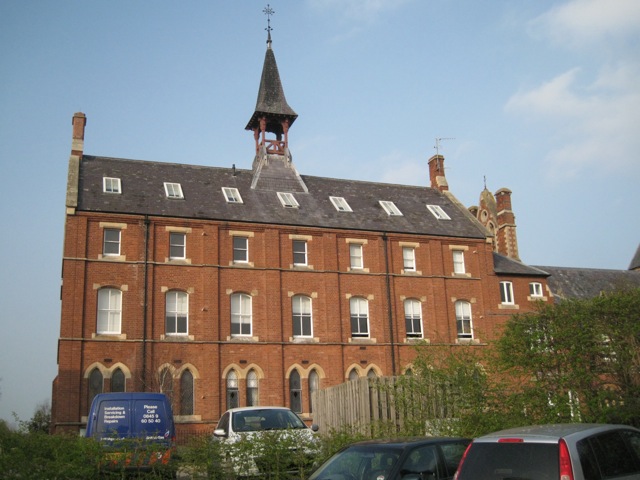
Longworth Roman Catholic Chapel
Longworth Roman Catholic Chapel is a redundant chapel in the village of Bartestree, Herefordshire, England, standing adjacent to the former Convent of...
Withington railway station (Herefordshire)
Withington railway station was a station in Withington, Herefordshire, England. The station was opened in 1861 and closed in 1961 == References == ��2...

Withington, Herefordshire
Withington is a village and civil parish in Herefordshire, England, about 5 miles (8 km) north-east of Hereford at grid reference SO563431. == History... ==
Nearby Amenities
Located within 500m of 52.066539,-2.645246Have you been to Bartestree?
Leave your review of Bartestree below (or comments, questions and feedback).