Clough
Valley in Yorkshire Harrogate
England
Clough
Clough is a picturesque valley located in Yorkshire, England. Nestled in the heart of the Yorkshire Dales National Park, it is renowned for its natural beauty and tranquil surroundings. The valley is situated near the village of Clough, which adds to its charm with its quaint stone cottages and traditional English architecture.
The landscape of Clough Valley is characterized by rolling hills, lush green pastures, and meandering streams. The valley is dotted with dense woodlands, providing ample opportunities for outdoor activities such as hiking, cycling, and birdwatching. The diverse flora and fauna in the area make it a nature lover's paradise.
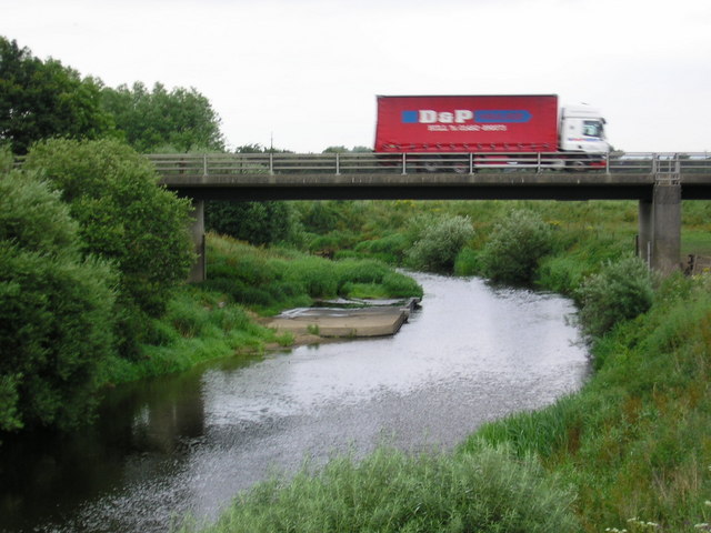
One of the prominent features of Clough Valley is the River Clough, which flows through the valley, adding to its scenic beauty. The river is home to various species of fish, making it a popular spot for fishing enthusiasts. The valley’s idyllic setting also attracts photographers and artists, who capture its beauty in their works.
In addition to its natural attractions, Clough Valley is also rich in history. It is home to several ancient monuments and archaeological sites, including burial mounds and stone circles, which provide insights into the area's prehistoric past.
Visitors to Clough Valley can enjoy the serenity and tranquility of the countryside, as well as explore the nearby attractions. The valley offers a range of accommodation options, including cozy bed and breakfasts and self-catering cottages, ensuring a comfortable stay for those who wish to immerse themselves in the beauty of this charming Yorkshire gem.
If you have any feedback on the listing, please let us know in the comments section below.
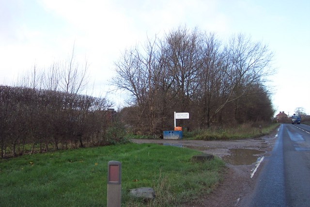
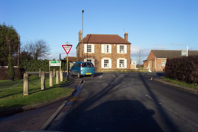
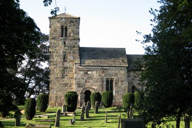
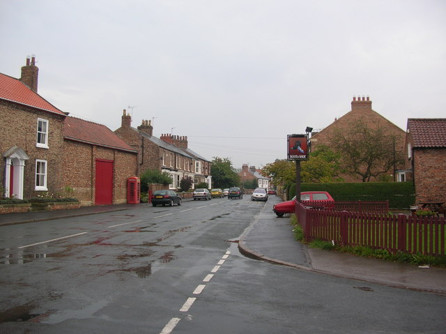
Clough Images
Images are sourced within 2km of 53.986469/-1.2707373 or Grid Reference SE4754. Thanks to Geograph Open Source API. All images are credited.


Clough is located at Grid Ref: SE4754 (Lat: 53.986469, Lng: -1.2707373)
Division: West Riding
Administrative County: North Yorkshire
District: Harrogate
Police Authority: North Yorkshire
What 3 Words
///charm.soonest.tastier. Near Linton upon Ouse, North Yorkshire
Nearby Locations
Related Wikis

Wilstrop
Wilstrop is a civil parish about 8 miles (13 km) west of York, in the Harrogate district, in the county of North Yorkshire, England. In 2001 the parish...

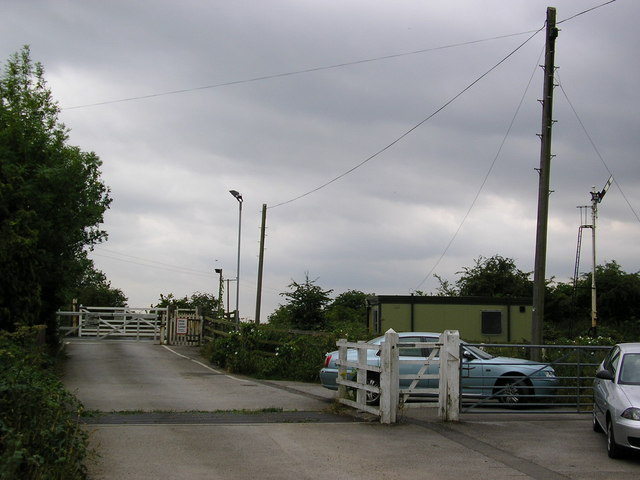
Wilstrop Siding railway station
Wilstrop railway station served Wilstrop and Skipbridge, North Yorkshire, England from 1865 to 1964 on the Harrogate line. == History == The station opened...

Hammerton railway station
Hammerton is a railway station on the Harrogate Line, which runs between Leeds and York via Harrogate. The station, situated 8+3⁄4 miles (14 km) west of...
Kirk Hammerton
Kirk Hammerton is a village and civil parish in the Harrogate district of North Yorkshire, England. It is near the River Nidd and the A59 road, 10 miles...
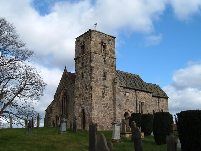
St John the Baptist Church, Kirk Hammerton
St John the Baptist Church, Kirk Hammerton is a Grade I listed Church of England church located in the village of Kirk Hammerton, North Yorkshire, England...
Tockwith
Tockwith is a village and civil parish in the Harrogate district of North Yorkshire, England, near the town of Wetherby and the city of York. There has...

Green Hammerton
Green Hammerton is a village and civil parish in the Harrogate district of North Yorkshire, England. It is situated on the A59 road, 8 miles (13 km) west...
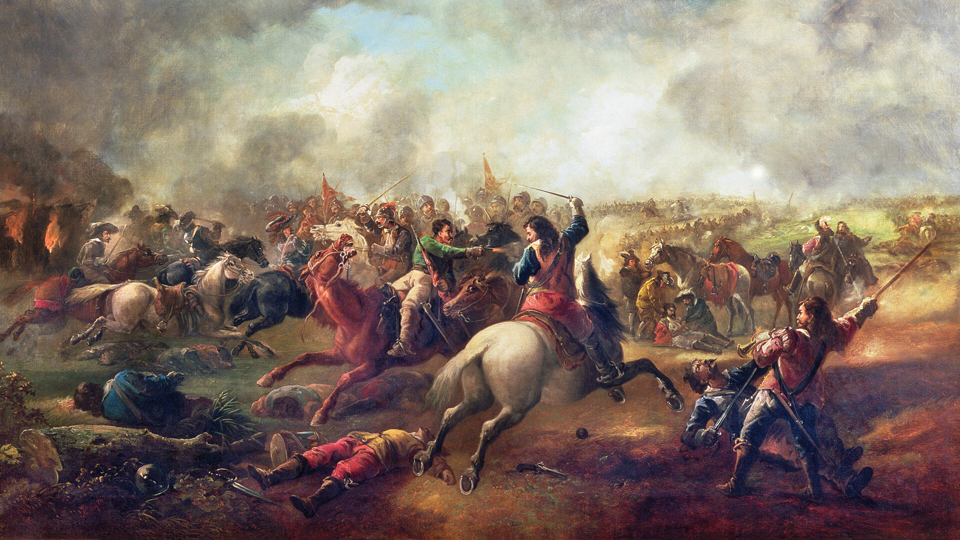
Battle of Marston Moor
The Battle of Marston Moor was fought on 2 July 1644, during the Wars of the Three Kingdoms of 1639–1653. The combined forces of the English Parliamentarians...
Nearby Amenities
Located within 500m of 53.986469,-1.2707373Have you been to Clough?
Leave your review of Clough below (or comments, questions and feedback).