Rookery Bottom
Valley in Yorkshire
England
Rookery Bottom
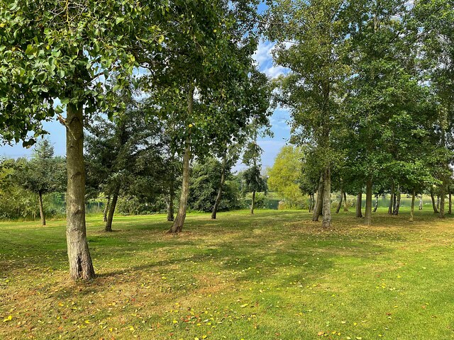
Rookery Bottom is a charming valley located in the county of Yorkshire, England. Situated in the heart of the Yorkshire Dales, this picturesque area is renowned for its natural beauty and tranquil atmosphere. The valley stretches for approximately 2 miles, nestled between rolling hills and bordered by lush green meadows.
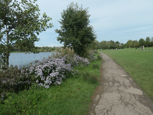
The main feature of Rookery Bottom is a gently flowing stream that meanders through the valley, providing a soothing soundtrack to the surrounding landscape. The stream is flanked by a variety of vegetation, including vibrant wildflowers and ancient trees, creating a diverse and vibrant ecosystem.
The valley is home to a diverse range of wildlife, including various species of birds, small mammals, and insects. Nature enthusiasts can often spot rabbits, squirrels, and even the occasional deer roaming freely in the peaceful surroundings of Rookery Bottom.
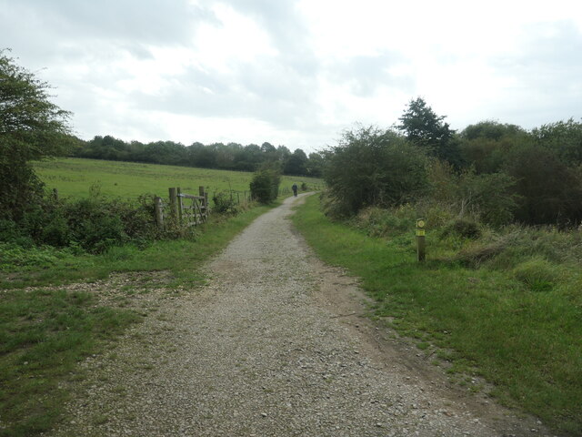
Visitors to Rookery Bottom can enjoy a multitude of outdoor activities, such as hiking, picnicking, and nature photography. There are several well-marked walking trails that wind through the valley, offering breathtaking views of the surrounding countryside. The valley's idyllic setting also makes it a popular spot for artists and photographers seeking inspiration from its natural charm.
Rookery Bottom is conveniently located near several charming villages, where visitors can find amenities such as accommodations, restaurants, and shops. Its proximity to other attractions in the Yorkshire Dales National Park makes it an ideal base for exploring the wider area.
In conclusion, Rookery Bottom is a hidden gem in Yorkshire, offering a peaceful retreat for nature lovers and outdoor enthusiasts alike. Its stunning natural scenery, diverse wildlife, and range of recreational activities make it a must-visit destination for those seeking solace in the beauty of the English countryside.
If you have any feedback on the listing, please let us know in the comments section below.
Rookery Bottom Images
Images are sourced within 2km of 53.350888/-1.2999992 or Grid Reference SK4684. Thanks to Geograph Open Source API. All images are credited.
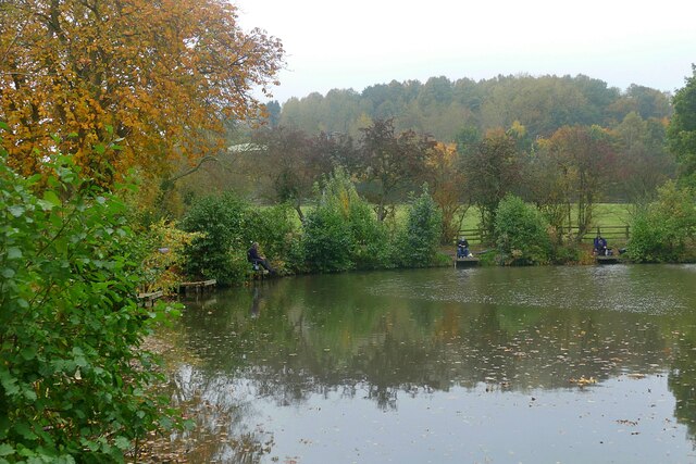


![River Rother, Rother Valley country park Looking downstream [locally north] from Pit Lane bridge. For more information and a view of the river sixteen years earlier, see <a href="https://www.geograph.org.uk/photo/539706">SK4583 : River Rother, near Waleswood</a>.](https://s1.geograph.org.uk/geophotos/07/62/10/7621001_cc33bb09.jpg)
Rookery Bottom is located at Grid Ref: SK4684 (Lat: 53.350888, Lng: -1.2999992)
Division: West Riding
Unitary Authority: Rotherham
Police Authority: South Yorkshire
What 3 Words
///pampering.deflated.victory. Near Wales, South Yorkshire
Nearby Locations
Related Wikis

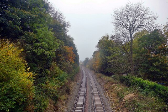
Waleswood railway station
Waleswood railway station is a former railway station on the Great Central Railway's main line between Sheffield Victoria and Worksop, England. The station...
Waleswood Colliery
Waleswood Colliery was a coal mine situated between Swallownest and Wales Bar, near Rotherham, South Yorkshire, England. The colliery was adjacent to the...
Gulliver's Valley
Gulliver's Valley is a theme park and resort located in Rotherham, England. Construction began in 2018 at a planned cost of £37 million. The first phase...

Aston, South Yorkshire
Aston is a residential village in the Metropolitan Borough of Rotherham, South Yorkshire, England. The village falls within the Holderness ward of the...
North Staveley Colliery
Aston Colliery was a small coal mine sunk on Aston Common, within Rotherham Rural District but six miles east of Sheffield in the 1840s. In 1864 its workings...
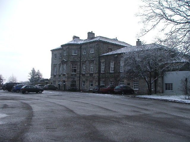
Aston Hall, Yorkshire
Aston Hall is a former English country house in the village of Aston, South Yorkshire. It is now a hotel, and a Grade II* listed building. == History... ==
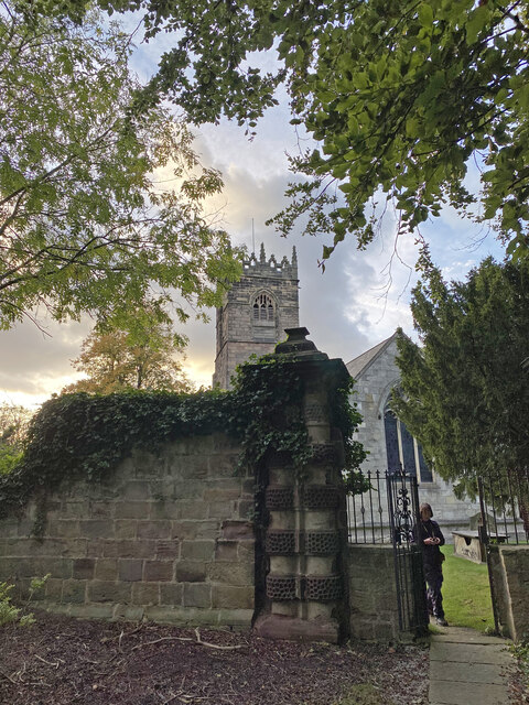
Church of All Saints, Aston cum Aughton
The Church of All Saints is the parish church of Aston cum Aughton in South Yorkshire, England. It is a Church of England church in the Diocese of Sheffield...
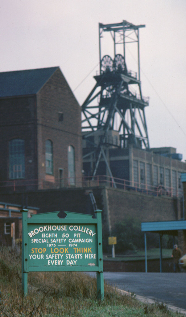
Brookhouse Colliery
Brookhouse Colliery was a coal mine within the Metropolitan Borough of Rotherham, South Yorkshire, England. It was operational between 1929 and 1985. To...
Nearby Amenities
Located within 500m of 53.350888,-1.2999992Have you been to Rookery Bottom?
Leave your review of Rookery Bottom below (or comments, questions and feedback).