Hepworth Pond
Lake, Pool, Pond, Freshwater Marsh in Yorkshire
England
Hepworth Pond
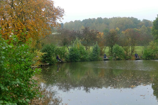
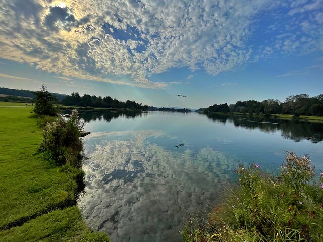
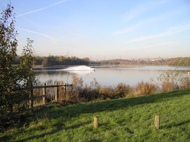
Hepworth Pond, located in Yorkshire, England, is a picturesque freshwater marsh that serves as an important ecological habitat. Spanning an area of approximately 4 acres, this body of water is surrounded by lush vegetation and offers a tranquil setting for visitors to enjoy.
The pond, also known as Hepworth Reservoir, is fed by natural springs and small streams, ensuring a constant flow of freshwater. The crystal-clear water is home to a diverse range of aquatic plant species, including water lilies, reeds, and sedges, which provide a habitat for various aquatic organisms.
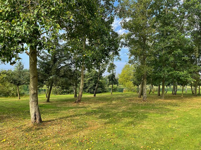
The marshland surrounding Hepworth Pond boasts an array of wildlife, making it a popular spot for nature enthusiasts and birdwatchers. Visitors may have the opportunity to observe a wide variety of bird species, such as herons, ducks, and swans, as well as small mammals like water voles and shrews.
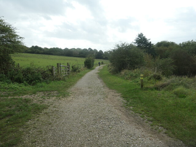
The pond is easily accessible via footpaths and offers several spots for picnicking and relaxation. Fishing is permitted at Hepworth Pond, attracting anglers who can try their luck at catching species like perch, roach, and pike.
In addition to its ecological significance, Hepworth Pond is also a site of historical interest. It was once used as a water source for the surrounding village and played a crucial role in the industrial development of the area.
Overall, Hepworth Pond in Yorkshire offers a serene and biodiverse environment, making it a haven for wildlife and a popular destination for those seeking to immerse themselves in nature.
If you have any feedback on the listing, please let us know in the comments section below.
Hepworth Pond Images
Images are sourced within 2km of 53.354169/-1.298398 or Grid Reference SK4684. Thanks to Geograph Open Source API. All images are credited.
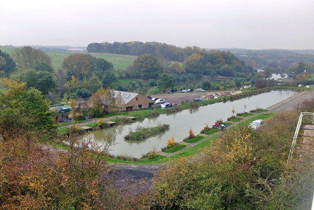


![River Rother, Rother Valley country park Looking downstream [locally north] from Pit Lane bridge. For more information and a view of the river sixteen years earlier, see <a href="https://www.geograph.org.uk/photo/539706">SK4583 : River Rother, near Waleswood</a>.](https://s1.geograph.org.uk/geophotos/07/62/10/7621001_cc33bb09.jpg)


Hepworth Pond is located at Grid Ref: SK4684 (Lat: 53.354169, Lng: -1.298398)
Division: West Riding
Unitary Authority: Rotherham
Police Authority: South Yorkshire
What 3 Words
///dare.pursue.bouncing. Near Wales, South Yorkshire
Nearby Locations
Related Wikis

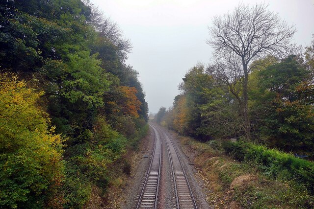
Waleswood railway station
Waleswood railway station is a former railway station on the Great Central Railway's main line between Sheffield Victoria and Worksop, England. The station...
Waleswood Colliery
Waleswood Colliery was a coal mine situated between Swallownest and Wales Bar, near Rotherham, South Yorkshire, England. The colliery was adjacent to the...
Gulliver's Valley
Gulliver's Valley is a theme park and resort located in Rotherham, England. Construction began in 2018 at a planned cost of £37 million. The first phase...
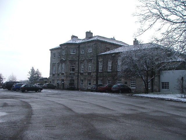
Aston Hall, Yorkshire
Aston Hall is a former English country house in the village of Aston, South Yorkshire. It is now a hotel, and a Grade II* listed building. == History... ==

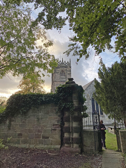
Church of All Saints, Aston cum Aughton
The Church of All Saints is the parish church of Aston cum Aughton in South Yorkshire, England. It is a Church of England church in the Diocese of Sheffield...
Aston, South Yorkshire
Aston is a residential village in the Metropolitan Borough of Rotherham, South Yorkshire, England. The village falls within the Holderness ward of the...
North Staveley Colliery
Aston Colliery was a small coal mine sunk on Aston Common, within Rotherham Rural District but six miles east of Sheffield in the 1840s. In 1864 its workings...
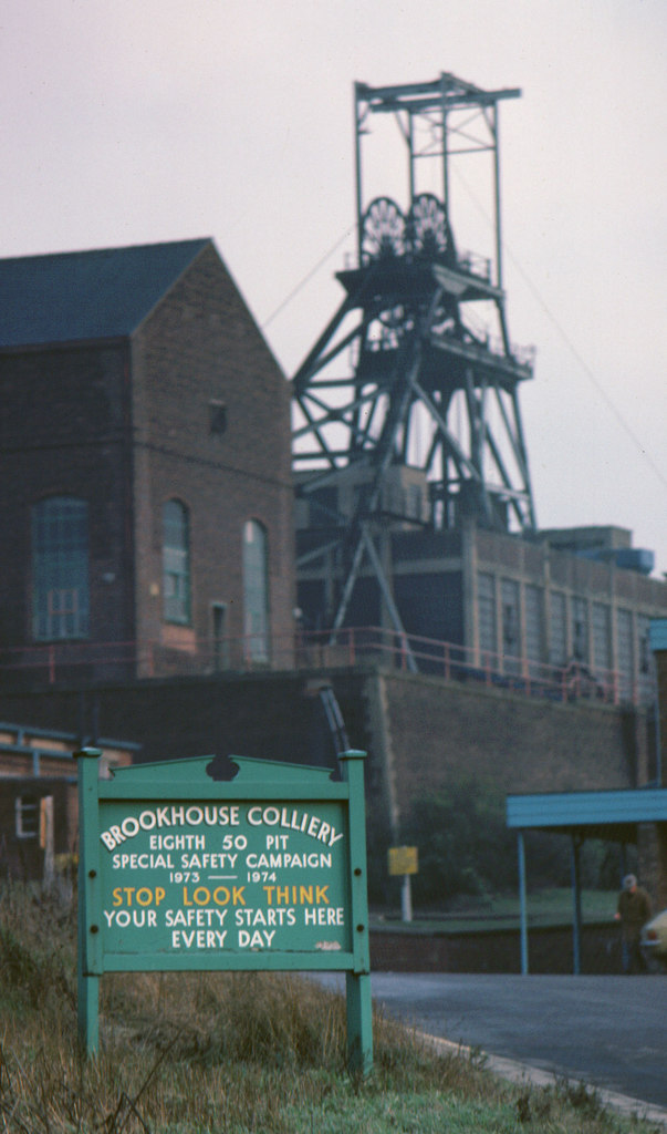
Brookhouse Colliery
Brookhouse Colliery was a coal mine within the Metropolitan Borough of Rotherham, South Yorkshire, England. It was operational between 1929 and 1985. To...
Nearby Amenities
Located within 500m of 53.354169,-1.298398Have you been to Hepworth Pond?
Leave your review of Hepworth Pond below (or comments, questions and feedback).