Ball's Bottom
Valley in Berkshire
England
Ball's Bottom
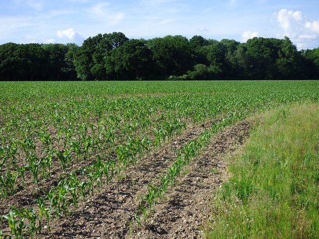
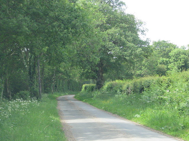
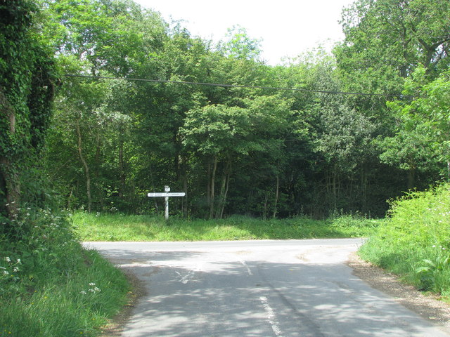
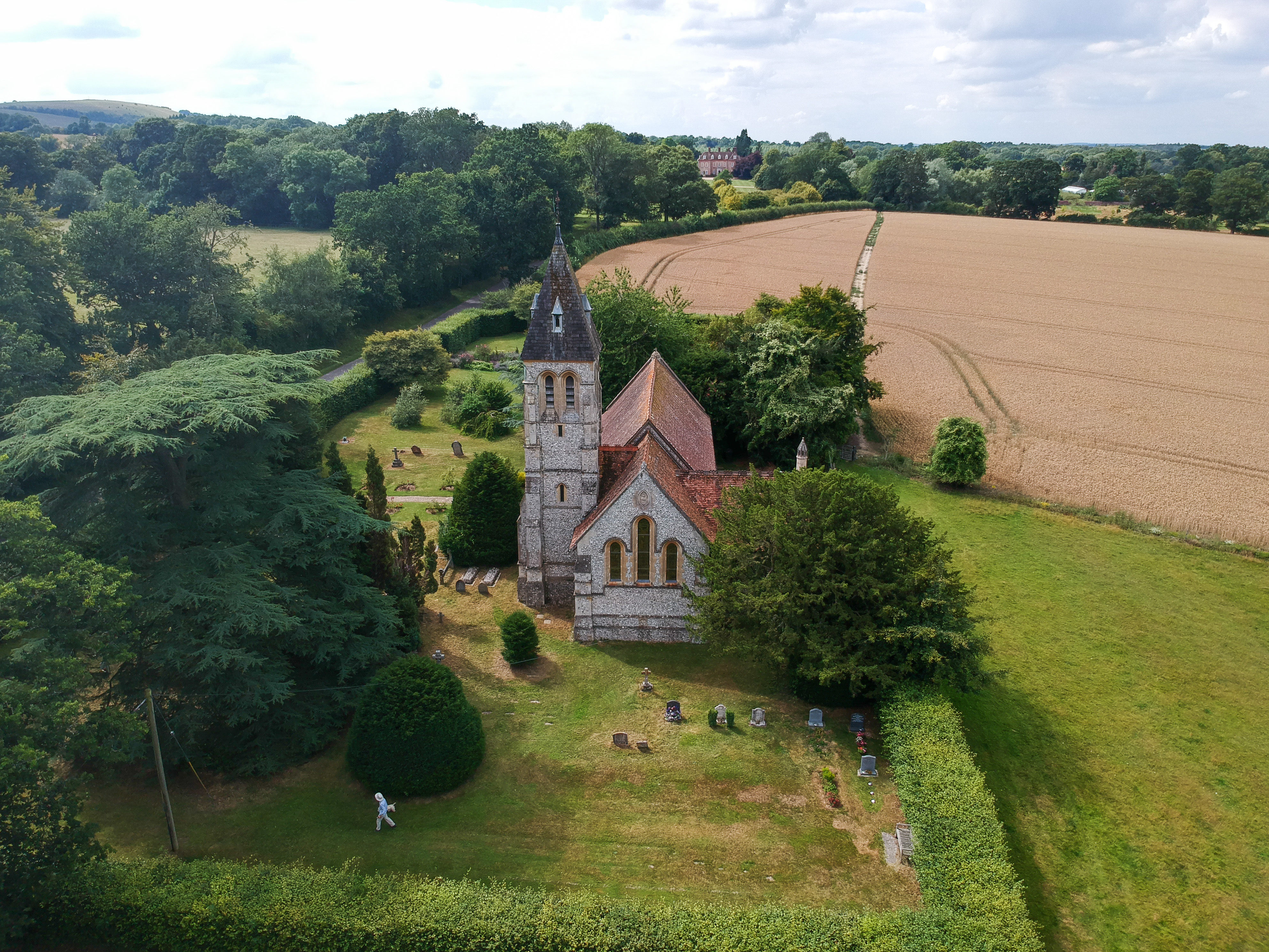
Ball's Bottom is a small village located in the county of Berkshire, England. Situated in a picturesque valley, it is surrounded by rolling hills and lush greenery, making it an idyllic countryside destination. The village is part of the larger Berkshire Downs, which is known for its stunning natural beauty.
Despite its small size, Ball's Bottom boasts a rich history that dates back centuries. It is believed that the village was established in the medieval period, and evidence of its past can still be seen in the form of historic buildings and landmarks. The architecture of the village is predominantly traditional, with charming cottages and farmhouses dotting the landscape.
The village is home to a close-knit community, with a population of approximately 500 residents. The locals take great pride in maintaining the village's pristine appearance and preserving its heritage. The community spirit is evident in the numerous events and activities organized throughout the year, including village fairs and traditional festivals.
Ball's Bottom offers a range of amenities for its residents and visitors. There is a quaint village pub, which serves as a social hub and offers a warm, welcoming atmosphere. Additionally, the village has a small primary school, a village hall, and a post office. Outdoor enthusiasts can take advantage of the surrounding countryside, which provides ample opportunities for hiking, cycling, and leisurely walks.
Overall, Ball's Bottom, Berkshire (Valley) is a charming village that combines natural beauty, a rich history, and a strong sense of community. It is a hidden gem in the heart of Berkshire, offering a peaceful retreat from the bustle of city life.
If you have any feedback on the listing, please let us know in the comments section below.
Ball's Bottom Images
Images are sourced within 2km of 51.36943/-1.4198985 or Grid Reference SU4063. Thanks to Geograph Open Source API. All images are credited.


Ball's Bottom is located at Grid Ref: SU4063 (Lat: 51.36943, Lng: -1.4198985)
Unitary Authority: West Berkshire
Police Authority: Thames Valley
What 3 Words
///pickup.concluded.brains. Near Kintbury, Berkshire
Nearby Locations
Related Wikis
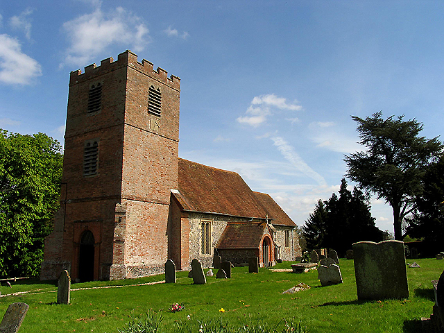
West Woodhay
West Woodhay () is a rural scattered village and civil parish in West Berkshire, England. At the 2011 census it had 59 households. == Geography == The...

Gore End
Gore End is a village and civil parish in the Test Valley district of Hampshire, England. It is in the civil parish of East Woodhay. The village is situated...

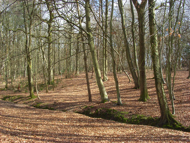
Redhill Wood
Redhill Wood is a 29-hectare (72-acre) biological Site of Special Scientific Interest west of Newbury in Berkshire.The site is private land with no public...
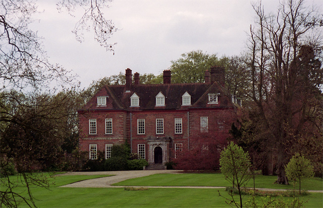
West Woodhay House
West Woodhay House is a Grade I listed building in the parish of West Woodhay, West Berkshire, UK. == History and description == The house was erected...

East Woodhay
East Woodhay is a village and civil parish in Hampshire, England. The village is approximately 5.5 miles (9 km) south-west of Newbury in Berkshire. At...
Hell Corner
Hell Corner is a hamlet in the civil parish of Inkpen in the English county of Berkshire. It is situated in the West Berkshire district, south of the River...
Hamstead Marshall
Hamstead Marshall (also spelt Hampstead Marshall) is a village and civil parish in the English county of Berkshire. The village is located within the North...
Inkpen Common SSSI
Inkpen Common or Inkpen Great Common is a 12.8-hectare (32-acre) biological Site of Special Scientific Interest east of Inkpen in Berkshire. It is managed...
Nearby Amenities
Located within 500m of 51.36943,-1.4198985Have you been to Ball's Bottom?
Leave your review of Ball's Bottom below (or comments, questions and feedback).