Ball's Copse
Wood, Forest in Berkshire
England
Ball's Copse
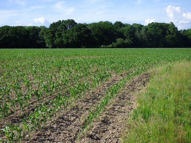
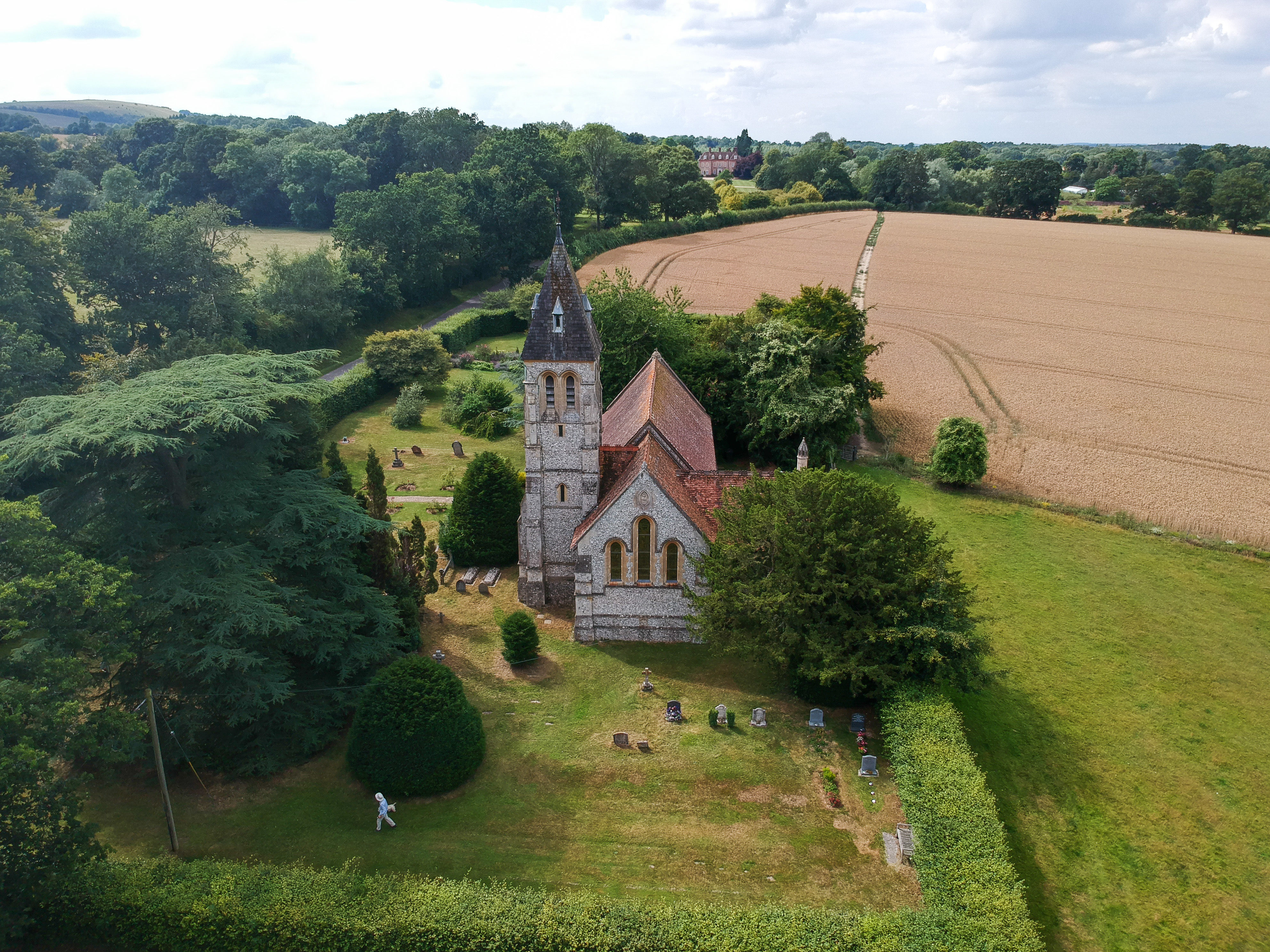
Ball's Copse is a small woodland located in the county of Berkshire, England. Situated near the village of Ball's Green, it covers an area of approximately 10 acres. The copse is part of a larger forest known as Windsor Great Park.
The woodland is predominantly composed of broadleaf trees, such as oak, beech, and ash, with a dense undergrowth of ferns, bluebells, and wildflowers. The trees provide a canopy that creates a shady and peaceful atmosphere within the copse. The forest floor is covered in a thick layer of leaf litter, providing a habitat for a variety of small mammals, insects, and fungi.
Ball's Copse is home to a diverse array of wildlife. Bird species such as woodpeckers, thrushes, and owls can be spotted among the branches, while mammals like foxes, badgers, and deer can be occasionally seen roaming the area. The copse also attracts a range of butterflies and other insects, making it a popular spot for nature enthusiasts and photographers.
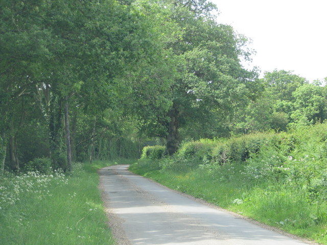
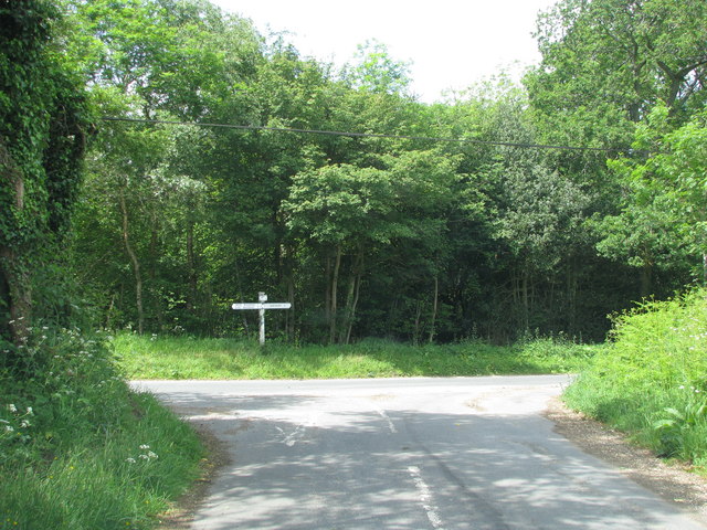
The woodland is crisscrossed by a network of footpaths, allowing visitors to explore its natural beauty. These paths lead through the heart of the copse and connect to wider trails in Windsor Great Park. The copse is well-maintained, with regular clearing and maintenance to ensure the safety of visitors.
Ball's Copse offers a tranquil and picturesque escape from the hustle and bustle of nearby towns and cities. Its natural beauty and diverse wildlife make it a cherished location for both locals and tourists seeking a peaceful retreat in the heart of Berkshire.
If you have any feedback on the listing, please let us know in the comments section below.
Ball's Copse Images
Images are sourced within 2km of 51.36851/-1.4193211 or Grid Reference SU4063. Thanks to Geograph Open Source API. All images are credited.


Ball's Copse is located at Grid Ref: SU4063 (Lat: 51.36851, Lng: -1.4193211)
Unitary Authority: West Berkshire
Police Authority: Thames Valley
What 3 Words
///pepper.reporting.quote. Near Kintbury, Berkshire
Nearby Locations
Related Wikis
West Woodhay
West Woodhay () is a rural scattered village and civil parish in West Berkshire, England. At the 2011 census it had 59 households. == Geography == The...

Gore End
Gore End is a village and civil parish in the Test Valley district of Hampshire, England. It is in the civil parish of East Woodhay. The village is situated...

East Woodhay
East Woodhay is a village and civil parish in Hampshire, England. The village is approximately 5.5 miles (9 km) south-west of Newbury in Berkshire. At...

Redhill Wood
Redhill Wood is a 29-hectare (72-acre) biological Site of Special Scientific Interest west of Newbury in Berkshire.The site is private land with no public...
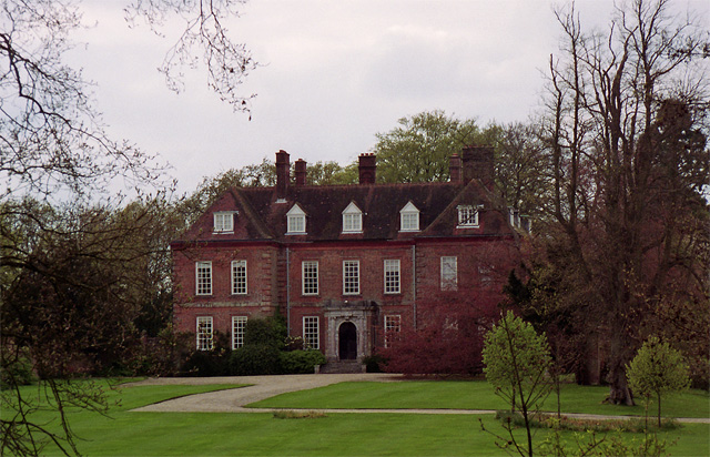
West Woodhay House
West Woodhay House is a Grade I listed building in the parish of West Woodhay, West Berkshire, UK. == History and description == The house was erected...
Hell Corner
Hell Corner is a hamlet in the civil parish of Inkpen in the English county of Berkshire. It is situated in the West Berkshire district, south of the River...
Hamstead Marshall
Hamstead Marshall (also spelt Hampstead Marshall) is a village and civil parish in the English county of Berkshire. The village is located within the North...

Stargroves
Stargroves (also known as Stargrove House) is a manor house and associated estate at East Woodhay in the English county of Hampshire. The house belonged...
Nearby Amenities
Located within 500m of 51.36851,-1.4193211Have you been to Ball's Copse?
Leave your review of Ball's Copse below (or comments, questions and feedback).