Bunkerdale
Valley in Durham
England
Bunkerdale
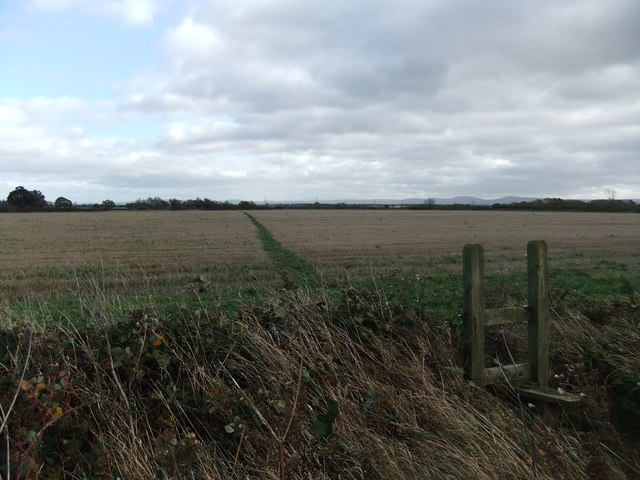
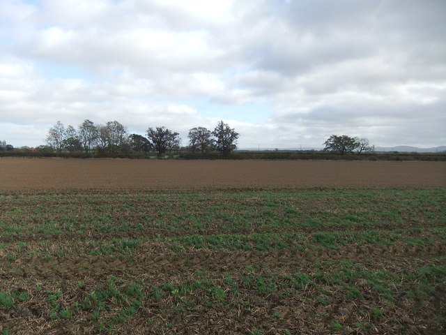
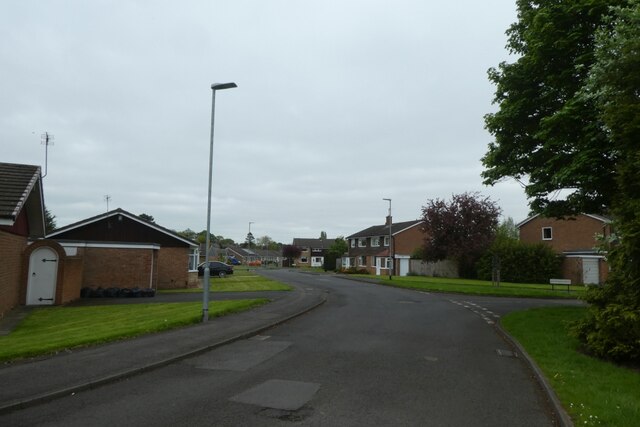
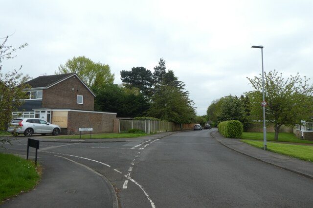
Bunkerdale is a small village located in Durham, a county in the northeast of England. Situated in the picturesque Durham Valley, the village is known for its tranquil and idyllic setting. Bunkerdale is surrounded by lush green fields, rolling hills, and dense woodland, making it a perfect destination for nature enthusiasts and those seeking a peaceful retreat.
The village itself is characterized by charming cottages made of local stone, adding to its traditional and rustic charm. The local community is tight-knit, with a friendly and welcoming atmosphere that makes visitors feel at home. Bunkerdale has a population of around 300 residents, who enjoy a close connection with nature and a slower pace of life.
The village is well-connected to the surrounding areas, with good transport links to Durham city center, which is just a short drive away. This makes Bunkerdale an attractive location for those looking for a peaceful rural lifestyle while still having access to urban amenities.
In terms of amenities, Bunkerdale has a small village shop that caters to the daily needs of its residents. Additionally, there is a traditional pub that serves as a social hub for the community, offering a place to relax and enjoy a pint or a meal.
Overall, Bunkerdale, with its scenic beauty and close-knit community, offers a serene escape from the hustle and bustle of city life, making it a hidden gem in the Durham Valley.
If you have any feedback on the listing, please let us know in the comments section below.
Bunkerdale Images
Images are sourced within 2km of 54.514415/-1.3825304 or Grid Reference NZ4013. Thanks to Geograph Open Source API. All images are credited.

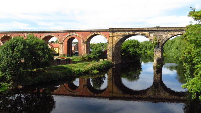


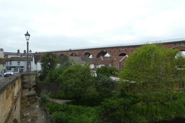
![Railway viaduct over the River Tees Looking upstream along the river from Yarm Road bridge. The railway bridge carries the Northallerton to Stockton lines. The centre of the bridge reads "Engineers: Thomas Grainger & John Bourne. Superintendent: Joseph Dixon. Contractors: [illegible due to plant growth]".](https://s3.geograph.org.uk/geophotos/07/48/23/7482395_95dcb706.jpg)

Bunkerdale is located at Grid Ref: NZ4013 (Lat: 54.514415, Lng: -1.3825304)
Unitary Authority: Stockton-on-Tees
Police Authority: Cleveland
What 3 Words
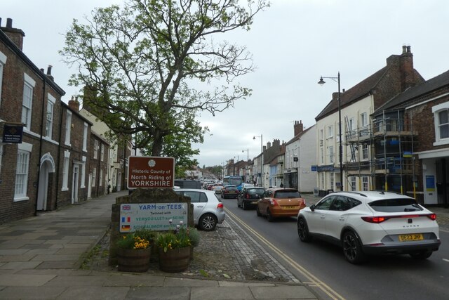
///consoles.juggler.album. Near Yarm, Co. Durham
Nearby Locations
Related Wikis

Aislaby, County Durham
Aislaby ( AYZ-əl-bi) is a small village and civil parish on the north bank of the River Tees within the borough of Stockton-on-Tees and the ceremonial...

Urlay Nook
Urlay Nook is a village in the County Durham, England. It is part of the Egglescliffe parish in the borough of Stockton-on-Tees. The village is dominated...
Egglescliffe School
Egglescliffe School & Sixth Form College is a large Coeducational secondary school and sixth form located between Egglescliffe and Urlay Nook in the Borough...
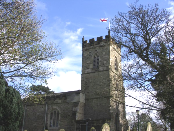
St Mary Magdalene, Yarm
St Mary Magdalene is a Church of England parish church in the town of Yarm, in the Borough of Stockton-on-Tees, North Yorkshire, England, which is dedicated...
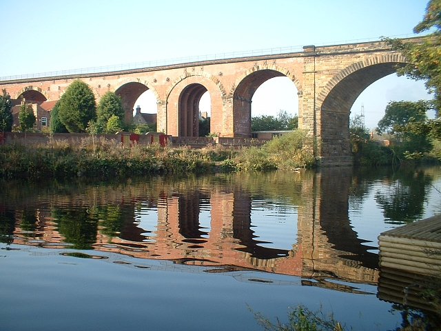
Yarm Viaduct
Yarm Viaduct is a railway viaduct carrying the railways above the town of Yarm in North Yorkshire, England. It crosses the River Tees which forms the boundary...

Allens West railway station
Allens West is a railway station on the Tees Valley Line, which runs between Bishop Auckland and Saltburn via Darlington. The station, situated 8 miles...
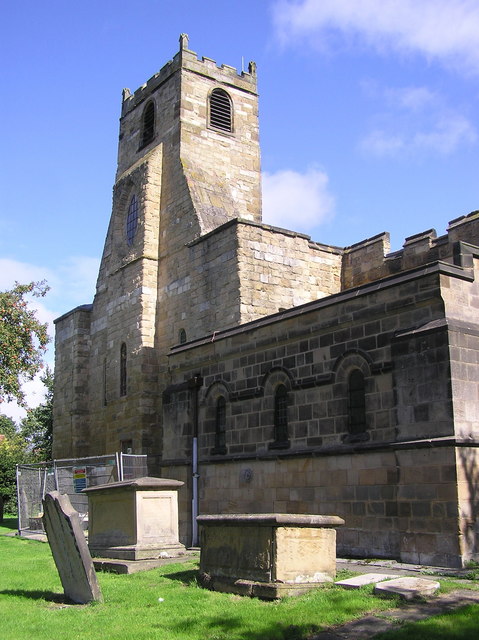
St John the Baptist, Egglescliffe
The parish church of St John the Baptist, Egglescliffe is an Anglican church in the village of Egglescliffe, Stockton-on-Tees. It is a perpendicular church...

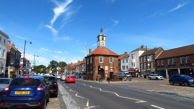
Yarm Town Hall
Yarm Town Hall is a municipal building in the High Street in Yarm, North Yorkshire, England. The structure, which is the meeting place of Yarm Town Council...
Nearby Amenities
Located within 500m of 54.514415,-1.3825304Have you been to Bunkerdale?
Leave your review of Bunkerdale below (or comments, questions and feedback).