Hill Bottom
Valley in Oxfordshire Cherwell
England
Hill Bottom

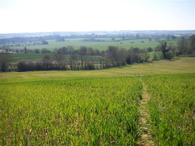
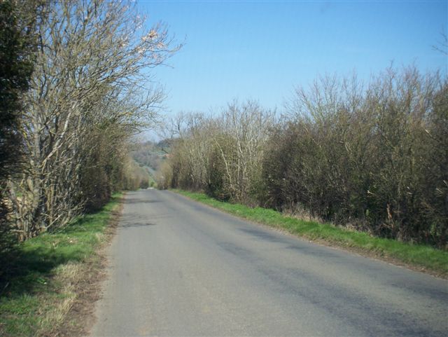
Hill Bottom, located in Oxfordshire, England, is a picturesque valley nestled between rolling hills. The valley derives its name from its geographical positioning, as it is situated at the bottom of a gentle slope. This tranquil location is known for its natural beauty and serene surroundings.
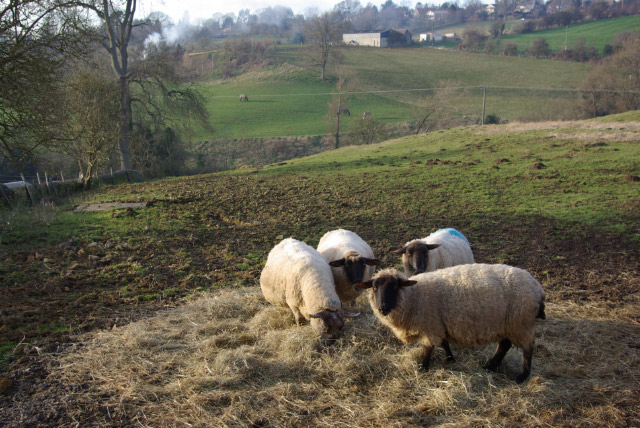
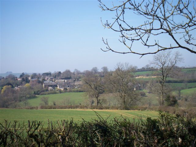
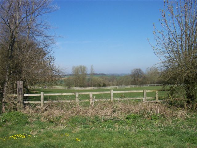
The valley is characterized by lush green landscapes, dotted with patches of wildflowers and age-old trees. The meandering streams that flow through Hill Bottom add to its charm, creating a soothing ambiance. The countryside views from various vantage points within the valley are breathtaking, especially during sunrise and sunset.
Hill Bottom is home to a small yet tight-knit community that takes pride in preserving its rural character. The residents here are known for their warm hospitality and friendly nature. The valley offers a peaceful refuge from the hustle and bustle of city life, attracting visitors who seek a tranquil escape.
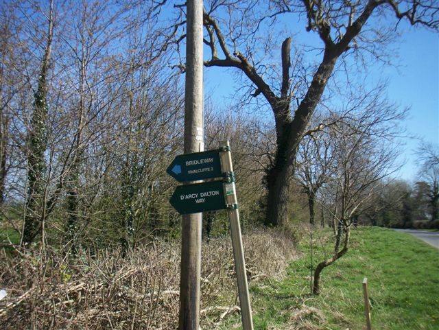
Outdoor enthusiasts will find plenty of activities to engage in within Hill Bottom. The valley is a popular destination for hikers, with numerous well-marked trails that wind their way through the surrounding hills. Nature lovers can explore the diverse flora and fauna that thrive in this idyllic setting.
Despite its secluded location, Hill Bottom is conveniently situated near major transportation routes, making it easily accessible. The nearby town provides essential amenities such as shops, restaurants, and schools, ensuring residents have access to all necessary facilities.
Hill Bottom, with its natural beauty and serene ambiance, offers a perfect retreat for those seeking tranquility amidst the stunning Oxfordshire countryside.
If you have any feedback on the listing, please let us know in the comments section below.
Hill Bottom Images
Images are sourced within 2km of 52.027023/-1.467255 or Grid Reference SP3636. Thanks to Geograph Open Source API. All images are credited.


Hill Bottom is located at Grid Ref: SP3636 (Lat: 52.027023, Lng: -1.467255)
Administrative County: Oxfordshire
District: Cherwell
Police Authority: Thames Valley
What 3 Words
///welfare.secret.surpassed. Near Hook Norton, Oxfordshire
Nearby Locations
Related Wikis

Sibford School
Sibford School is a British co-educational independent school in Sibford Ferris, west of Banbury in north Oxfordshire, linked with the Religious Society...

Sibford Ferris
Sibford Ferris is a village and civil parish about 6.5 miles (10.5 km) west of Banbury in Oxfordshire. It is on the south side of the Sib valley opposite...

Woodford Bottom and Lamb's Pool
Woodford Bottom and Lamb's Pool is a 3-hectare (7.4-acre) nature reserve south of Sibford Ferris in Oxfordshire. It is managed by the Berkshire, Buckinghamshire...

Burdrop
Burdrop is a village in Sibford Gower civil parish, about 6.5 miles (10.5 km) west of Banbury in Oxfordshire, England. Burdrop is contiguous with Sibford...
Swalcliffe Park School
Swalcliffe Park School is a specialist residential and day school in Oxfordshire, England for boys aged 11–19 who have needs arising from their Autistic...

Swalcliffe
Swalcliffe is a village and civil parish about 5 miles (8 km) west of Banbury in Oxfordshire. The parish is about 2+1⁄2 miles (4 km) long north–south and...
Sibford
Sibford (or The Sibfords) is the collective name given to the villages of Sibford Gower, Sibford Ferris and Burdrop on the edge of the Cotswolds in north...

Sibford Gower
Sibford Gower is a village and civil parish about 6.5 miles (10.5 km) west of Banbury in Oxfordshire, on the north side of the Sib valley, opposite Sibford...
Nearby Amenities
Located within 500m of 52.027023,-1.467255Have you been to Hill Bottom?
Leave your review of Hill Bottom below (or comments, questions and feedback).