Clarke's Bottom
Valley in Oxfordshire West Oxfordshire
England
Clarke's Bottom
Clarke's Bottom is a picturesque valley located in Oxfordshire, England. Situated in the heart of the countryside, it is known for its stunning natural beauty and tranquil atmosphere. The valley is named after the Clarke family, who have owned the land for generations.
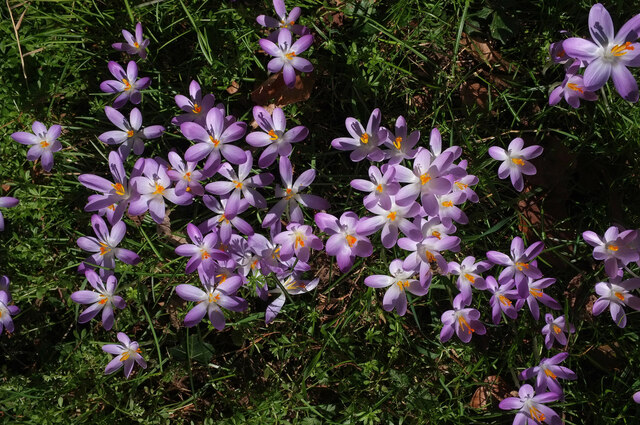
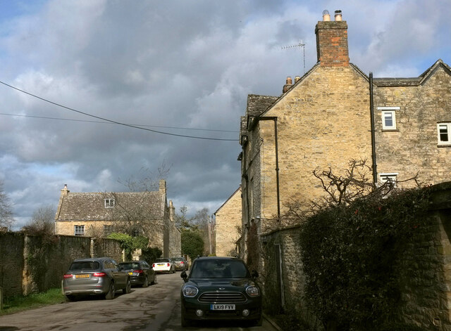
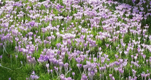
Covering an area of approximately 5 square miles, Clarke's Bottom is characterized by rolling hills, lush green meadows, and meandering streams. It is surrounded by dense woodlands, providing a home to a diverse range of flora and fauna. The valley is particularly renowned for its vibrant wildflower displays during the spring and summer months.
The area is a popular destination for outdoor enthusiasts and nature lovers. It offers numerous walking trails and cycling routes, allowing visitors to explore the valley's breathtaking scenery. The Clarke's Bottom Nature Reserve, located within the valley, provides a haven for wildlife and is a haven for birdwatching enthusiasts.
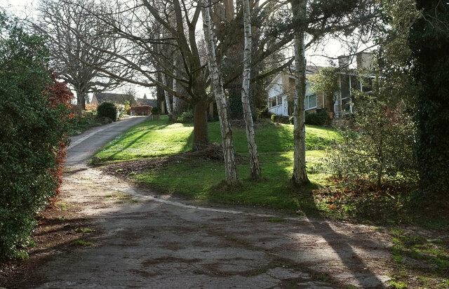
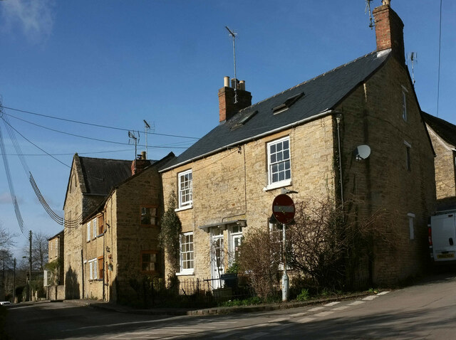
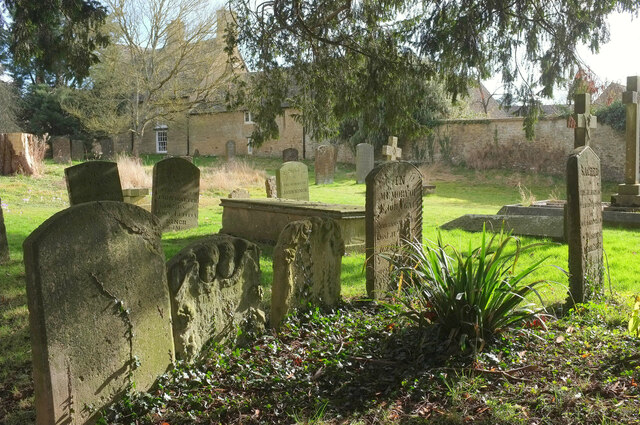
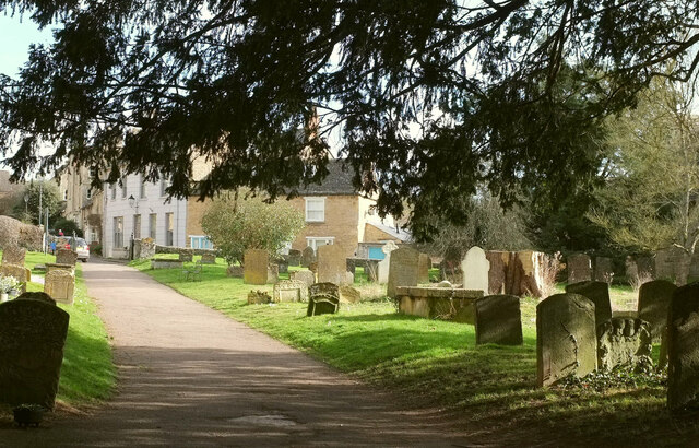
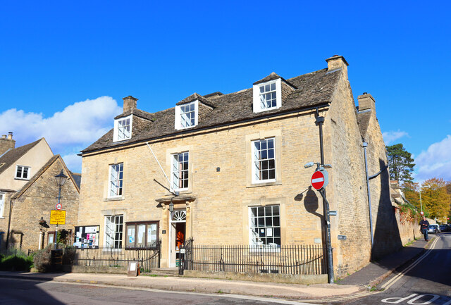
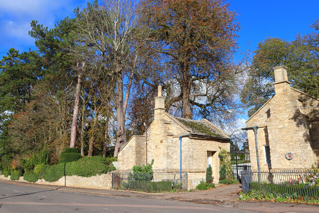
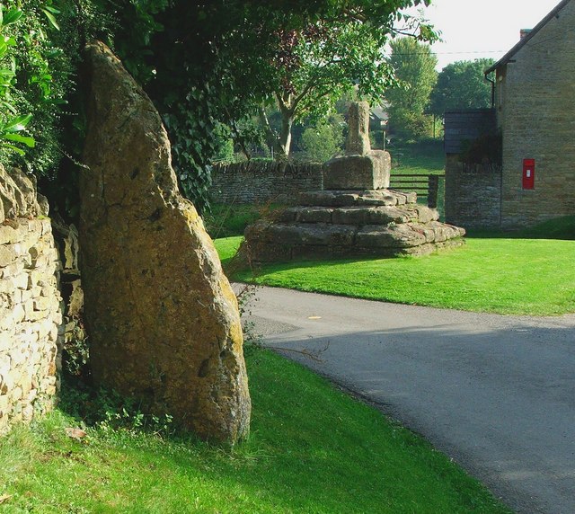
Clarke's Bottom is also steeped in history. It is believed to have been inhabited since prehistoric times, and archaeological remains, including ancient burial mounds, have been discovered in the area. The valley is also dotted with historic buildings, such as the picturesque Clarke's Bottom Manor, a Grade II listed country house.
Overall, Clarke's Bottom offers a unique escape from the hustle and bustle of city life. Its unspoiled beauty and rich history make it a must-visit destination for those seeking a peaceful and idyllic rural experience in Oxfordshire.
If you have any feedback on the listing, please let us know in the comments section below.
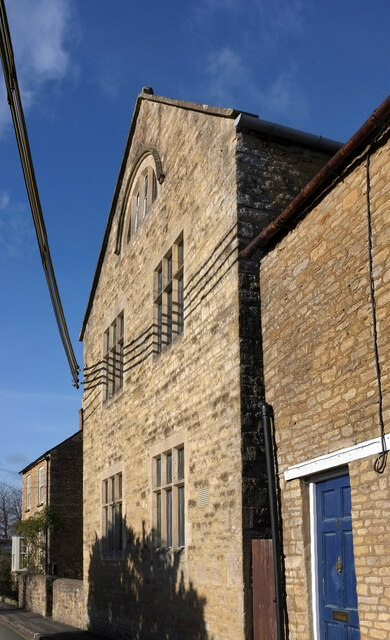
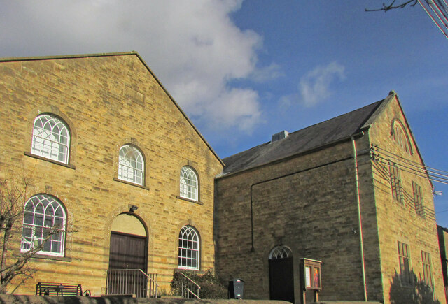
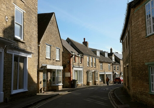
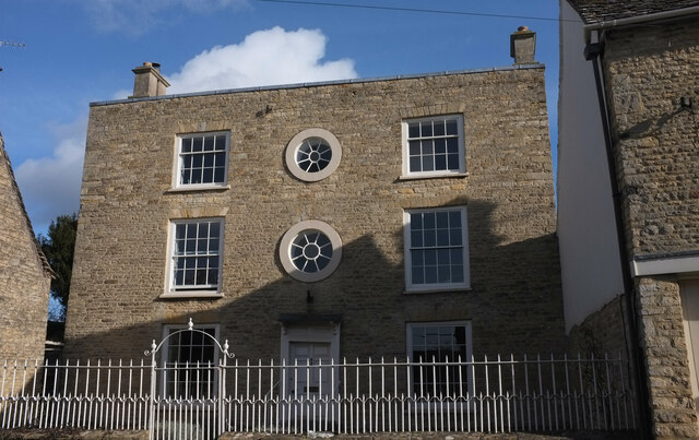
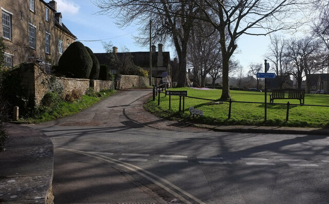
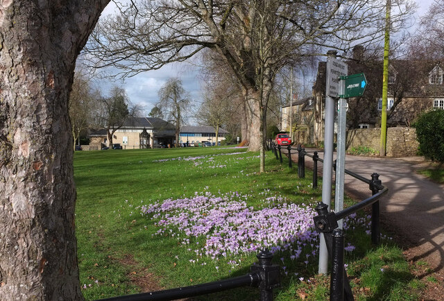
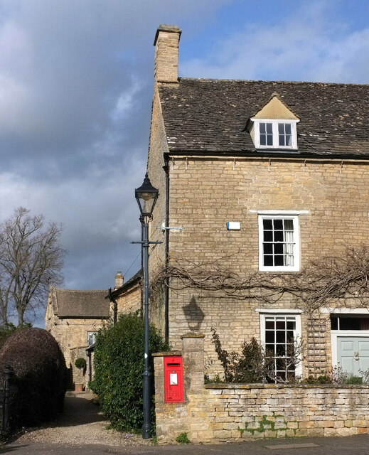
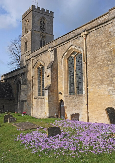
Clarke's Bottom Images
Images are sourced within 2km of 51.881847/-1.4691463 or Grid Reference SP3620. Thanks to Geograph Open Source API. All images are credited.
Clarke's Bottom is located at Grid Ref: SP3620 (Lat: 51.881847, Lng: -1.4691463)
Administrative County: Oxfordshire
District: West Oxfordshire
Police Authority: Thames Valley
What 3 Words
///delight.guessing.activates. Near Charlbury, Oxfordshire
Nearby Locations
Related Wikis

Blenheim Farm
Blenheim Farm is a 1-hectare (2.5-acre) nature reserve near Charlbury in Oxfordshire. It is owned and managed by the Berkshire, Buckinghamshire and Oxfordshire...

Charlbury Museum
Charlbury Museum is a local museum in the town of Charlbury, Oxfordshire, England. The museum and collections are organized and run by the Charlbury Society...

Charlbury
Charlbury () is a town and civil parish in the Evenlode valley, about 6 miles (10 km) north of Witney in the West Oxfordshire district of Oxfordshire,...

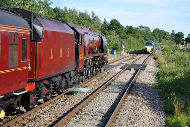
Charlbury railway station
Charlbury railway station is a railway station serving the town of Charlbury in Oxfordshire, England. This station and all trains serving it are operated...

Salt Way, Ditchley
Salt Way, Ditchley is a 2-hectare (4.9-acre) biological Site of Special Scientific Interest (SSSI) east of Charlbury in Oxfordshire. It is also a Local...

Spelsbury
Spelsbury is a village and civil parish about 1.5 miles (2.4 km) north of Charlbury and about 4 miles (6.4 km) southeast of Chipping Norton, Oxfordshire...

Ditchley Park
Ditchley Park is a country house near Charlbury in Oxfordshire, England. The estate was once the site of a Roman villa. Later it became a royal hunting...
Taston
Taston is a hamlet in Spelsbury civil parish, about 1.6 miles (2.6 km) north of Charlbury and 4 miles (6.4 km) southeast of Chipping Norton, Oxfordshire...
Nearby Amenities
Located within 500m of 51.881847,-1.4691463Have you been to Clarke's Bottom?
Leave your review of Clarke's Bottom below (or comments, questions and feedback).