Djubi Dale
Valley in Shetland
Scotland
Djubi Dale

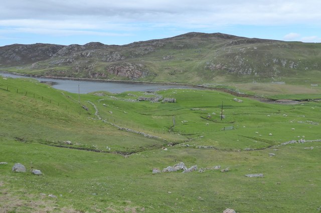
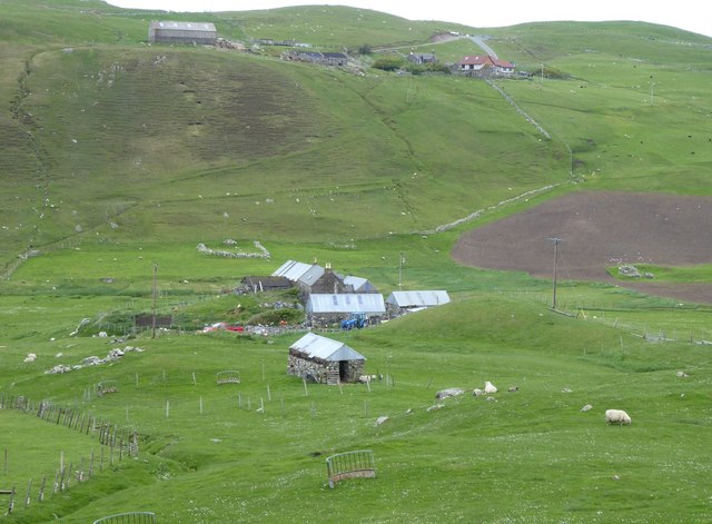
Djubi Dale, also known as Shetland Valley, is a picturesque location situated on the island of Shetland, which is part of Scotland. The valley is located on the southern tip of the island, nestled between rolling hills and surrounded by breathtaking natural beauty.
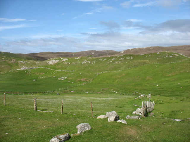
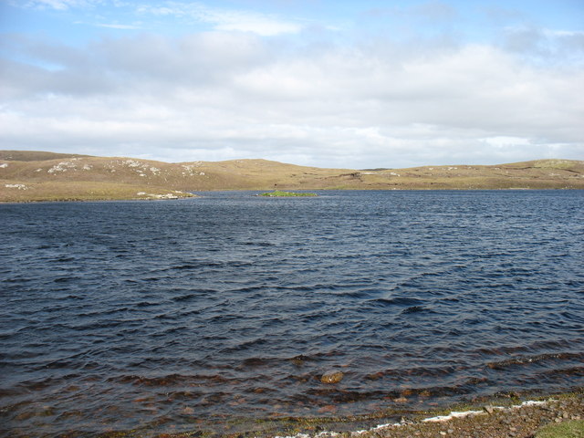
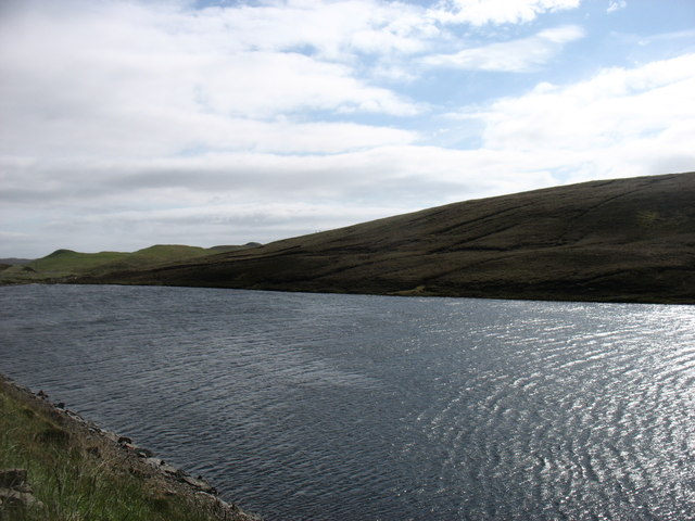
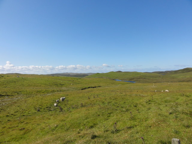
The landscape of Djubi Dale is characterized by lush green meadows, dotted with colorful wildflowers during the summer months. The valley is flanked by steep cliffs, providing a stunning backdrop against the clear blue waters of the North Sea. The area is home to a diverse range of wildlife, including seabirds, otters, and seals.
The region is famous for its rich history and archaeological significance. Djubi Dale is known to have been inhabited for thousands of years, with evidence of ancient settlements and burial sites. Visitors can explore these historical sites and learn about the island's fascinating past.
Outdoor enthusiasts will find plenty of activities to enjoy in Djubi Dale. The valley offers excellent opportunities for hiking, with various trails catering to different skill levels. The nearby coastline is perfect for beachcombing, fishing, and boating. The surrounding waters are also popular among divers, as they are home to numerous shipwrecks and underwater caves.
Djubi Dale is a haven for those seeking tranquility and natural beauty. Whether it's exploring the historic sites, embarking on outdoor adventures, or simply soaking in the stunning scenery, this idyllic valley offers something for everyone.
If you have any feedback on the listing, please let us know in the comments section below.
Djubi Dale Images
Images are sourced within 2km of 60.452131/-1.3904017 or Grid Reference HU3374. Thanks to Geograph Open Source API. All images are credited.


Djubi Dale is located at Grid Ref: HU3374 (Lat: 60.452131, Lng: -1.3904017)
Unitary Authority: Shetland Islands
Police Authority: Highlands and Islands
What 3 Words
///joins.fatigued.parts. Near Brae, Shetland Islands
Nearby Locations
Related Wikis

Gunnister
Gunnister is a small 'abandoned' village at the North-West Mainland in Shetland, Scotland. It is most commonly known for the Gunnister Man - the remains...
Punds Water
Punds Water is a freshwater loch near Mangaster in Northmavine, Shetland. It also gives its name to a nearby Neolithic heel-shaped cairn. == Heel-shaped... ==
Sullom
Sullom is a village on the Shetland peninsula of Northmavine, between Haggrister and Bardister. It lies on the northwest side of Sullom Voe, to which it...

Eela Water
Eela Water is a freshwater loch (lake) in Northmavine, part of the mainland of Shetland in Scotland. Besides being a freshwater fishing location, the site...
Nearby Amenities
Located within 500m of 60.452131,-1.3904017Have you been to Djubi Dale?
Leave your review of Djubi Dale below (or comments, questions and feedback).