Barstable
Settlement in Essex Basildon
England
Barstable
Barstable is a quaint village located in the county of Essex, England. Situated approximately 50 miles northeast of London, it is nestled amidst picturesque countryside and offers a peaceful and idyllic setting for its residents and visitors alike. The village is part of the larger borough of Basildon and is surrounded by lush green fields and rolling hills.
Barstable boasts a rich history, dating back to the medieval times, and it still retains much of its traditional charm. The village is characterized by its period architecture, with a mix of timber-framed houses and stone cottages lining its narrow streets. A prominent feature is the historic St. Peter's Church, which dates back to the 13th century and stands as a testament to the village's heritage.
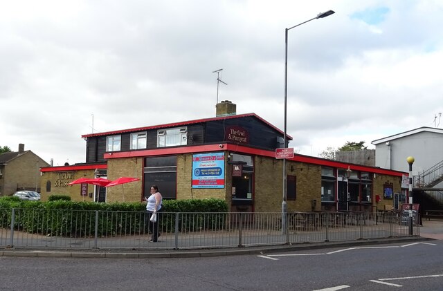
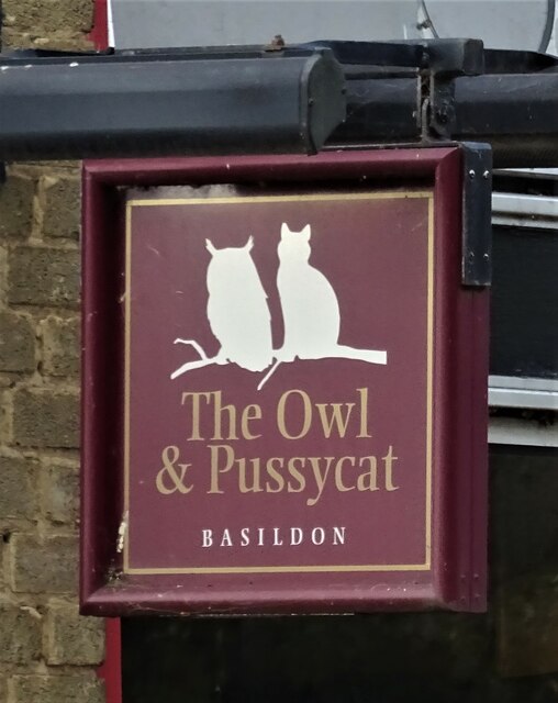
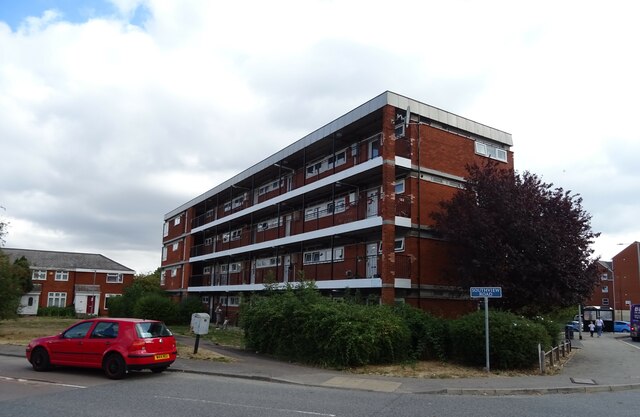
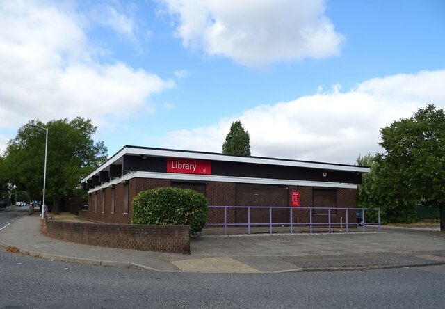
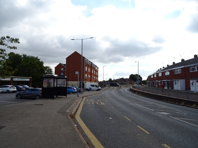
Despite its small size, Barstable offers a range of amenities to cater to the needs of its residents. The village has a local primary school, a post office, and a few shops for everyday necessities. It is also home to a number of pubs and restaurants, where locals and visitors can enjoy hearty meals and sample traditional English ales.
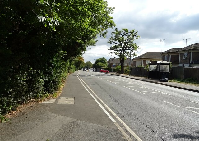
Surrounded by beautiful countryside, Barstable provides ample opportunities for outdoor activities. The village is close to several nature reserves and parks, offering walking and cycling trails that allow visitors to explore the stunning landscapes and observe local wildlife. The nearby Barstable Country Park is particularly popular, boasting a lake and picnic areas.
Overall, Barstable provides a charming and peaceful retreat from the hustle and bustle of city life, with its historical charm, natural beauty, and close-knit community.
If you have any feedback on the listing, please let us know in the comments section below.
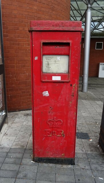
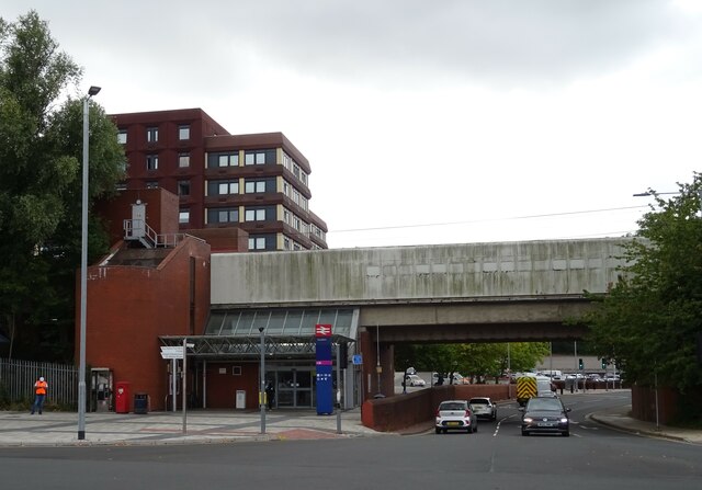
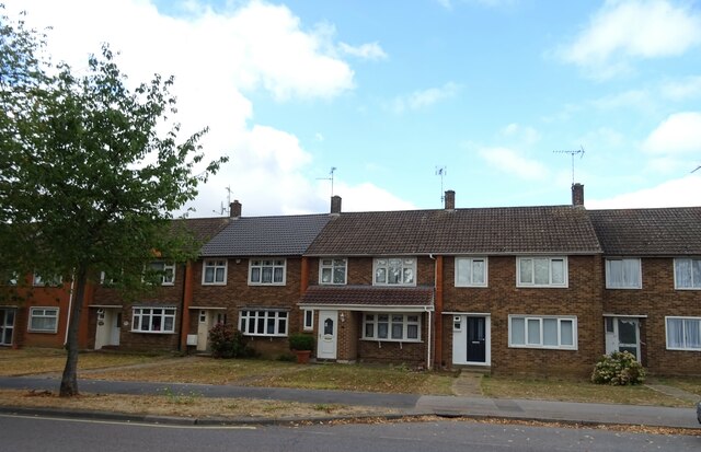
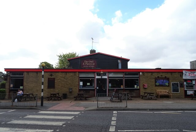
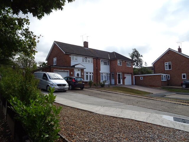
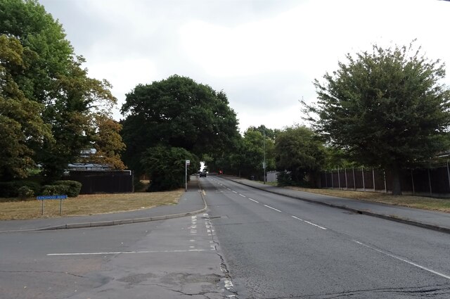
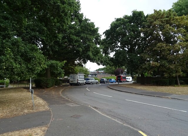
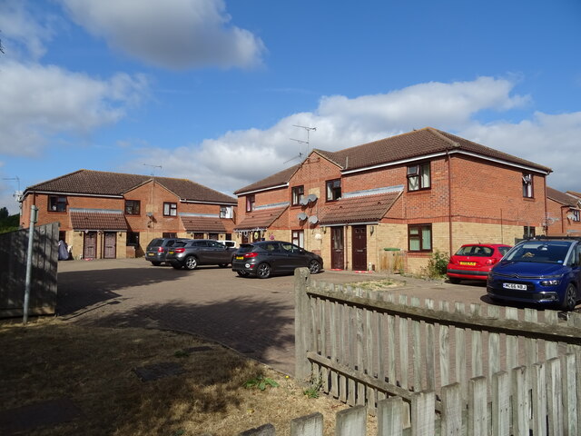
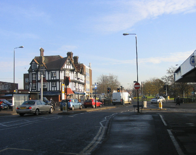
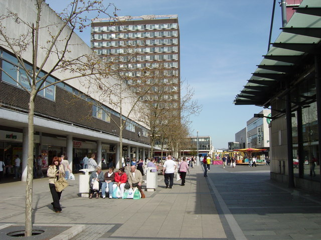
Barstable Images
Images are sourced within 2km of 51.568347/0.48502 or Grid Reference TQ7288. Thanks to Geograph Open Source API. All images are credited.
Barstable is located at Grid Ref: TQ7288 (Lat: 51.568347, Lng: 0.48502)
Administrative County: Essex
District: Basildon
Police Authority: Essex
What 3 Words
///state.hooks.quiet. Near Pitsea, Essex
Related Wikis
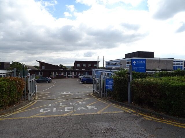
Barstable School
The Barstable School was a mixed intake secondary school in Basildon, Essex. It closed in 2009 to become a founding member of the Basildon Academies....
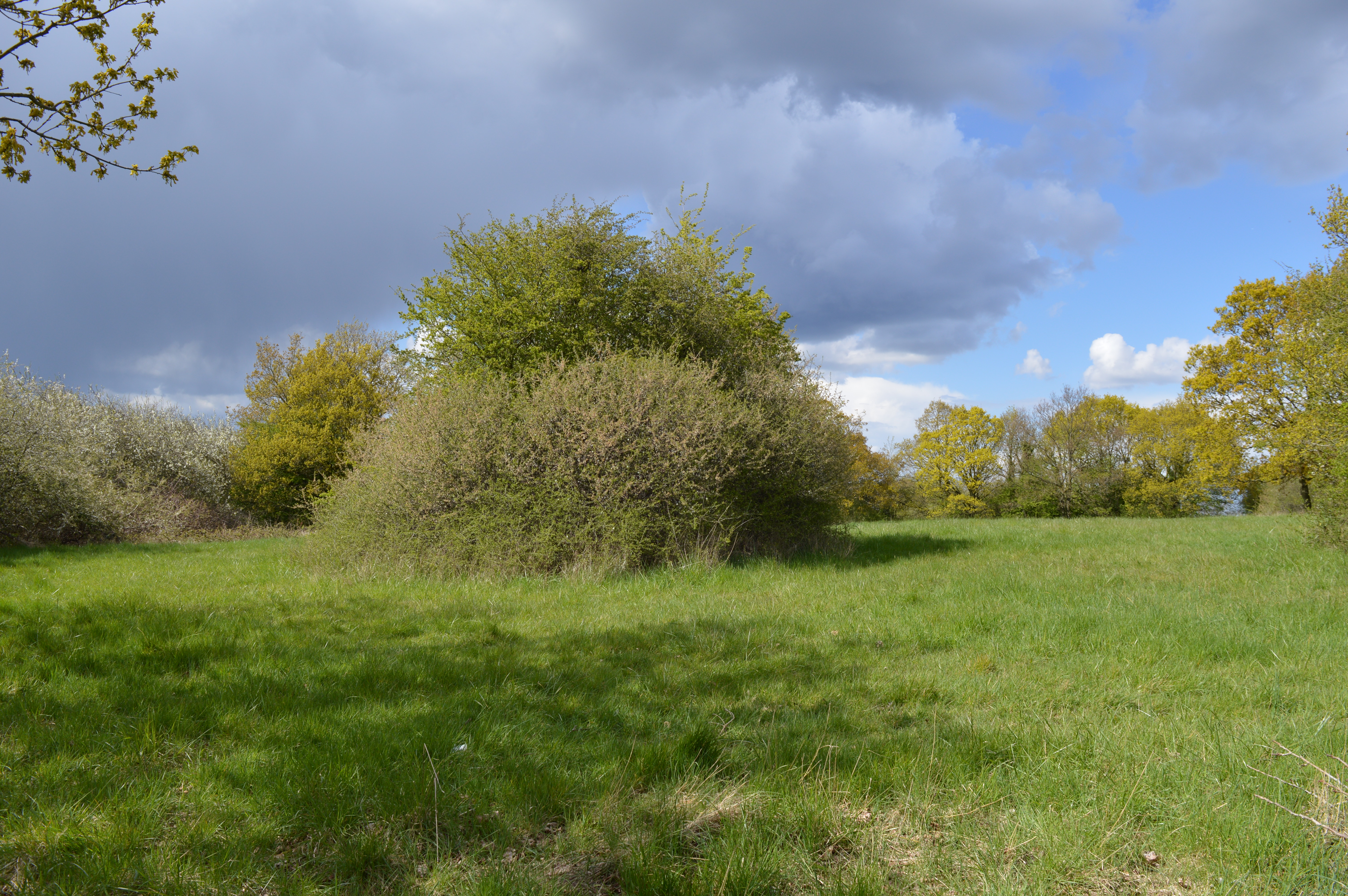
Vange Hill
Vange Hill is an 11.5 hectare Local Nature Reserve in Vange, a suburb of Basildon in Essex. It is owned and managed by Basildon Borough Council.The site...

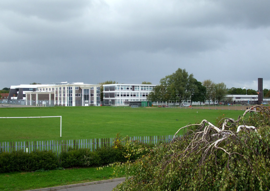
Fryerns Comprehensive School
Fryerns Comprehensive School , also known as Fryerns Community School, was a mixed intake secondary school in Basildon, Essex that opened in 1956. The...

Basildon Urban District
Basildon Urban District (from 1934 to 1955 Billericay Urban District) was a local government district in south Essex, England from 1934 to 1974. The district...
Pitsea
Pitsea is a town and former civil parish in the Borough of Basildon in south Essex, England. It comprises five sub-districts: Eversley, Northlands Park...

Northlands Park, Basildon
Northlands Park is a park in Basildon, Essex, England. == History of the park == Basildon Northlands Park was created by Basildon Development Corporation...
Basildon
Basildon ( BAZ-il-dən) is the largest town in the borough of Basildon, within the county of Essex, England. It had a recorded population of 107,123. In...

Chalvedon School
Chalvedon School and 6th Form College was a Specialist Technology College in Pitsea, Essex, England. It was a comprehensive school educating pupils aged...
Nearby Amenities
Located within 500m of 51.568347,0.48502Have you been to Barstable?
Leave your review of Barstable below (or comments, questions and feedback).