Barsloisnoch
Settlement in Argyllshire
Scotland
Barsloisnoch

Barsloisnoch is a small village located in the region of Argyllshire, in the western part of Scotland. Situated in a picturesque setting, the village is nestled amidst rolling hills and lush green landscapes. It is about 10 miles southeast of the town of Oban, making it easily accessible for residents and visitors alike.
Barsloisnoch is known for its tranquil and rural ambiance, offering a peaceful retreat away from the hustle and bustle of city life. The village consists of a scattering of traditional stone cottages, giving it a charming and authentic Scottish character. The residents of Barsloisnoch are friendly and welcoming, creating a strong sense of community within the village.
Despite its small size, Barsloisnoch offers a few amenities to cater to the needs of its residents. There is a local pub where locals and visitors can enjoy a pint and engage in friendly conversation. The village also has a small convenience store, providing basic groceries and essential supplies.
The surrounding area of Barsloisnoch is renowned for its natural beauty and outdoor recreational opportunities. Outdoor enthusiasts can explore the nearby hills and take advantage of various hiking and walking trails. The village is also close to several lochs, offering opportunities for fishing and boating.
Overall, Barsloisnoch is a charming and peaceful village, offering a close-knit community and a tranquil setting for residents and visitors seeking a slice of rural Scottish life.
If you have any feedback on the listing, please let us know in the comments section below.
Barsloisnoch Images
Images are sourced within 2km of 56.097439/-5.5226059 or Grid Reference NR8195. Thanks to Geograph Open Source API. All images are credited.


Barsloisnoch is located at Grid Ref: NR8195 (Lat: 56.097439, Lng: -5.5226059)
Unitary Authority: Argyll and Bute
Police Authority: Argyll and West Dunbartonshire
What 3 Words
///maker.skill.thundered. Near Lochgilphead, Argyll & Bute
Nearby Locations
Related Wikis

Argyll and Bute
Argyll and Bute (Scots: Argyll an Buit; Scottish Gaelic: Earra-Ghàidheal agus Bòd, pronounced [ɛrˠəˈɣɛːəlˠ̪ akəs̪ ˈpɔːtʲ]) is one of 32 unitary council...

Duntrune Castle
Duntrune Castle is located on the north side of Loch Crinan and across from the village of Crinan in Argyll, Scotland. It is thought to be the oldest continuously...

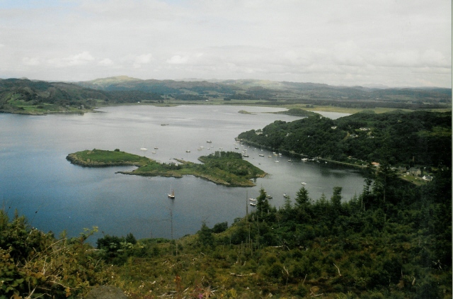
Loch Crinan
Loch Crinan is a seawater loch on the West of Scotland, leading into the Sound of Jura and being the western end of the Crinan Canal. The village of Crinan...
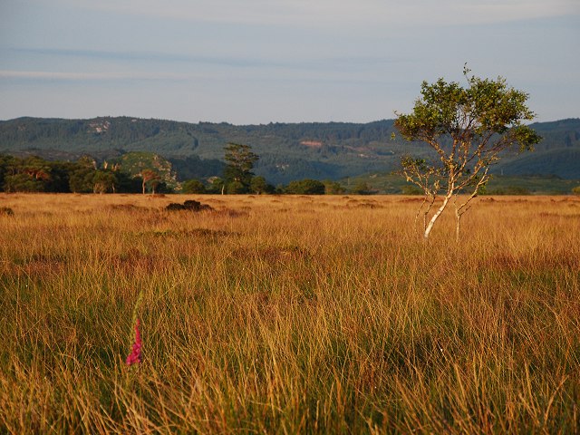
Moine Mhòr
Moine Mhòr ("Great Moss" in Scottish Gaelic) encompasses a large area of raised bog in the Kilmartin Glen area of Argyll and Bute, Scotland. As well as...
Crinan, Argyll
Crinan (Scottish Gaelic: An Crìonan) is a small village located on the west coast of Scotland in the region known as Knapdale, which is part of Argyll...
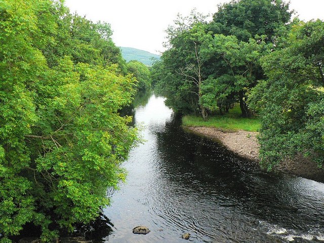
River Add
The River Add (Scottish Gaelic: Abhainn Àd) is a river which runs through Argyll and Bute on the West of Scotland. Historically, it was known as the river...
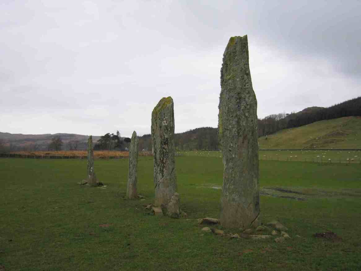
Ballymeanoch
Ballymeanoch (Scottish Gaelic: Baile Meadhonach - the middle settlement) is a complex of neolithic structures located in Kilmartin Glen, Scotland. It includes...
Eilean dà Mhèinn
Eilean dà Mhèinn, is a small inhabited island in Loch Crinan and one of the Inner Hebrides of Scotland. It is about 100 metres (330 ft) to the west of...
Nearby Amenities
Located within 500m of 56.097439,-5.5226059Have you been to Barsloisnoch?
Leave your review of Barsloisnoch below (or comments, questions and feedback).