Farn Combe
Valley in Berkshire
England
Farn Combe

Farn Combe is a picturesque valley located in the county of Berkshire, England. Nestled within the rolling hills of the Berkshire Downs, this idyllic rural area is renowned for its natural beauty and tranquil atmosphere. Farn Combe is situated approximately 10 miles southwest of the town of Newbury and covers an area of around 5 square miles.
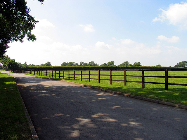
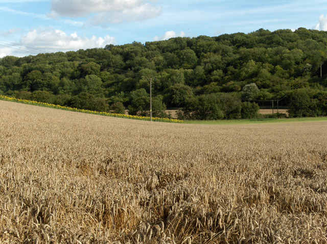
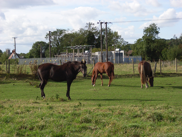
The valley is characterized by its lush green fields, meandering streams, and dense woodlands, making it a haven for wildlife and nature enthusiasts. The landscape is dominated by the Farn Combe River, which meanders through the valley, providing a scenic backdrop for leisurely walks and picnics.
Farn Combe is also home to several charming villages, including Farnham, Combe, and Westridge. These villages offer a range of amenities, including quaint country pubs, local shops, and community centers, creating a close-knit and welcoming community.
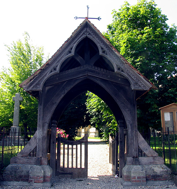
The valley is rich in history, with evidence of human habitation dating back to the Iron Age. The area has seen the remnants of ancient settlements, burial mounds, and Roman roads, providing a glimpse into its past.
Outdoor activities are a popular pastime in Farn Combe, with ample opportunities for hiking, cycling, and horse riding. The scenic countryside is crisscrossed by a network of well-maintained trails, offering breathtaking views of the surrounding countryside.
In conclusion, Farn Combe in Berkshire is a charming and unspoiled valley, offering a peaceful retreat from the hustle and bustle of city life. Its natural beauty, rich history, and outdoor recreational opportunities make it a delightful destination for both residents and visitors alike.
If you have any feedback on the listing, please let us know in the comments section below.
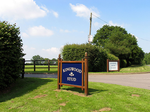
Farn Combe Images
Images are sourced within 2km of 51.50171/-1.5425811 or Grid Reference SU3178. Thanks to Geograph Open Source API. All images are credited.


Farn Combe is located at Grid Ref: SU3178 (Lat: 51.50171, Lng: -1.5425811)
Unitary Authority: West Berkshire
Police Authority: Thames Valley
What 3 Words
///lease.clay.lordship. Near Lambourn, Berkshire
Nearby Locations
Related Wikis
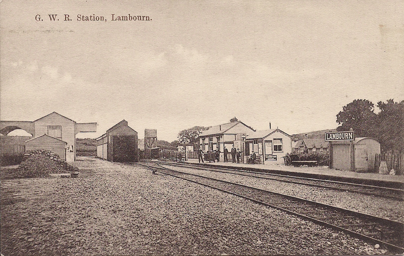
Lambourn railway station
Lambourn railway station was a railway station in Lambourn, Berkshire, UK, on the Lambourn Valley Railway. == History == The station opened on 4 April...

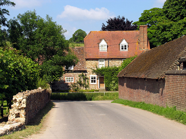
Lambourn
Lambourn is a village and civil parish in Berkshire, England. It lies just north of the M4 Motorway between Swindon and Newbury, and borders Wiltshire...

Watts Bank
Watts Bank is a 1.9-hectare (4.7-acre) nature reserve south of Lambourn in Berkshire. It is managed by the Berkshire, Buckinghamshire and Oxfordshire...
Upper Lambourn
Upper Lambourn is a small village in the county of Berkshire, England. The village is situated in the civil parish of Lambourn , and is 1.2 miles (2 km...
Nearby Amenities
Located within 500m of 51.50171,-1.5425811Have you been to Farn Combe?
Leave your review of Farn Combe below (or comments, questions and feedback).