Bangry Bottom

Valley in Oxfordshire West Oxfordshire

England

Bangry Bottom

The Old Swan, Minster Lovell
The Old Swan, Minster Lovell Credit: Alan Hughes

Bangry Bottom is a small valley located in Oxfordshire, England. Situated in the southern part of the county, it is nestled between the picturesque Chiltern Hills and the River Thames. The valley is known for its scenic beauty and tranquil atmosphere, making it a popular destination for nature enthusiasts and hikers.

The name "Bangry Bottom" is derived from the Old English word "banc," meaning hillside or slope, and "rig," which refers to a ridge or crest. This name accurately describes the topography of the area, as the valley is flanked by gentle slopes on either side.

The landscape of Bangry Bottom is characterized by lush green meadows, dense woodlands, and meandering streams. The valley is home to a diverse range of flora and fauna, including rare species of birds, butterflies, and wildflowers. Visitors can often spot deer, foxes, and other wildlife roaming freely in the area.

In addition to its natural beauty, Bangry Bottom also boasts a rich history. The valley has been inhabited since ancient times, with archaeological evidence suggesting human presence dating back to the Iron Age. There are remnants of old settlements and earthworks that serve as a testament to the valley's past.

Overall, Bangry Bottom offers a serene and idyllic retreat for those seeking a break from the hustle and bustle of city life. Its stunning landscapes, abundant wildlife, and historical significance make it a truly captivating destination for both locals and tourists alike.

If you have any feedback on the listing, please let us know in the comments section below.

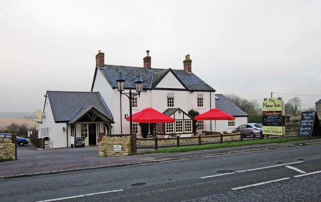
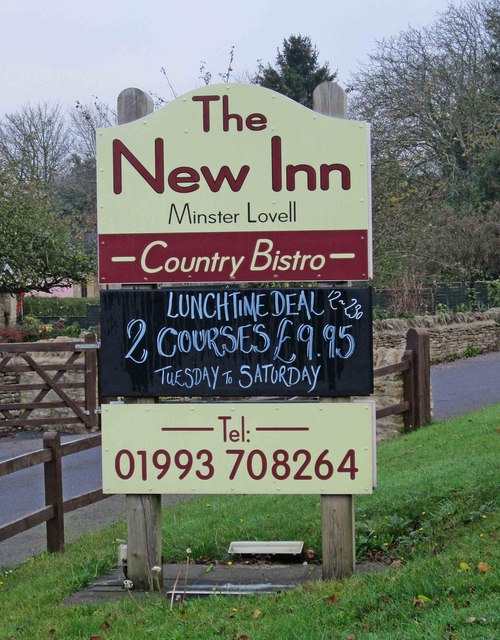
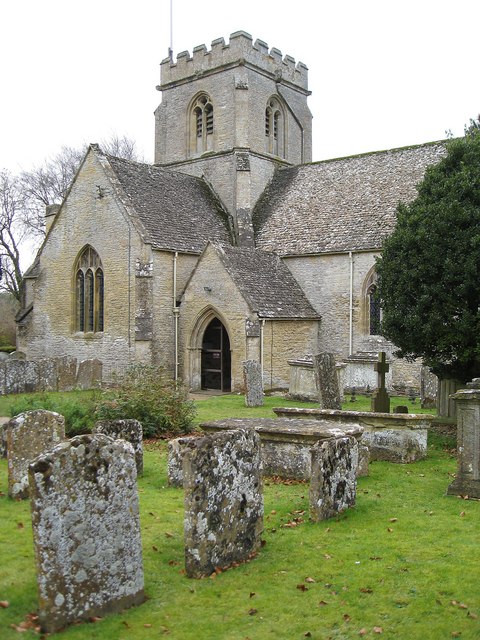
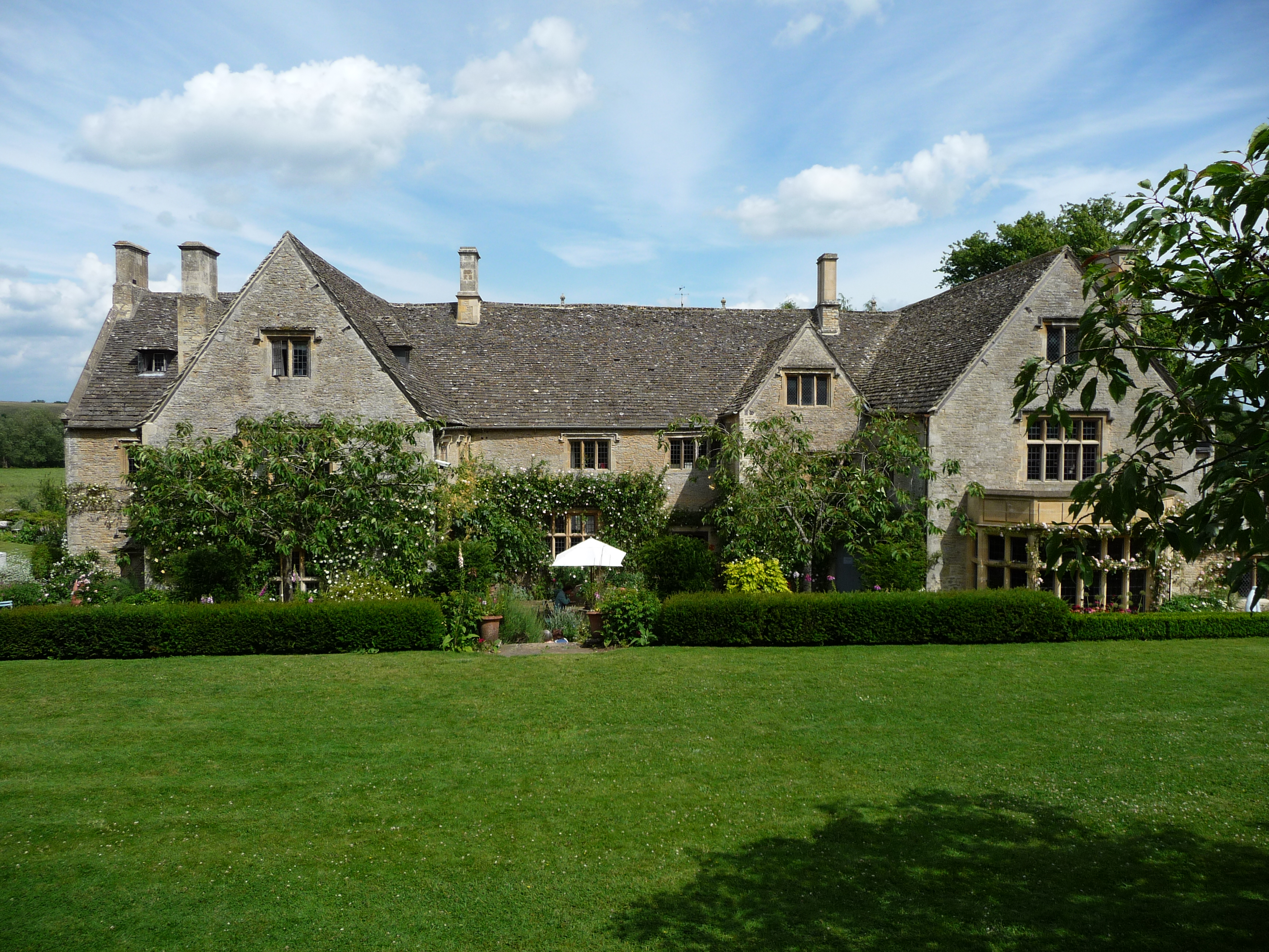
Bangry Bottom Images

Images are sourced within 2km of 51.806335/-1.5427985 or Grid Reference SP3112. Thanks to Geograph Open Source API. All images are credited.

The Old Swan, Minster Lovell
Village Cross, Minster Lovell The base of a medieval wayside cross at the junction of Minster Riding and a u/c road, nestling in the verge by the Old Swan pub. The village is prone to flooding and the bridge approach has a raised footpath beside the road.
The cross would have been for pilgrims to the Minster to pray for a safe crossing of the river.
The remains of the Little Minster are viewable but walking down School Lane is advised. 

Grade II listed monument Nᴼ 1300729 see <span class="nowrap"><a title="https://historicengland.org.uk/listing/the-list/list-entry/1300729" rel="nofollow ugc noopener" href="https://historicengland.org.uk/listing/the-list/list-entry/1300729">Link</a><img style="margin-left:2px;" alt="External link" title="External link - shift click to open in new window" src="https://s1.geograph.org.uk/img/external.png" width="10" height="10"/></span>

Milestone Society National ID: OXWO_MIN
Village Cross, Minster Lovell
The base of a medieval wayside cross at the junction of Minster Riding and a u/c road, nestling in the verge by the Old Swan pub. The village is prone to flooding and the bridge approach has a raised footpath beside the road. The cross would have been for pilgrims to the Minster to pray for a safe crossing of the river. The remains of the Little Minster are viewable but walking down School Lane is advised. Grade II listed monument Nᴼ 1300729 see LinkExternal link Milestone Society National ID: OXWO_MIN
Derelict shed In a field just east of Dodds Farm, beside the road from Field Assarts to Crawley.
Derelict shed
In a field just east of Dodds Farm, beside the road from Field Assarts to Crawley.
Derelict shed near Dodds Farm Just east of the farm, in a field beside the road from Field Assarts to Crawley.
Derelict shed near Dodds Farm
Just east of the farm, in a field beside the road from Field Assarts to Crawley.
Burford Road approaching Minster Lovell
B4047 in Minster Lovell
Burford Road (B4047) east of Minster Lovell
Burford Road meets the lane from Little Minster
Minster Lovell Church St Kenelm, 15th century church adjacent to the ruins of Minster Lovell Hall.
<span class="nowrap"><a title="http://www.english-heritage.org.uk/daysout/properties/minster-lovell-hall-and-dovecote/" rel="nofollow ugc noopener" href="http://www.english-heritage.org.uk/daysout/properties/minster-lovell-hall-and-dovecote/">Link</a><img style="margin-left:2px;" alt="External link" title="External link - shift click to open in new window" src="https://s1.geograph.org.uk/img/external.png" width="10" height="10"/></span>
Minster Lovell Church
St Kenelm, 15th century church adjacent to the ruins of Minster Lovell Hall. LinkExternal link
St Kenelm 15th century, Cotswold stone, parish church of Minster Lovell.
<span class="nowrap"><a title="http://www.english-heritage.org.uk/daysout/properties/minster-lovell-hall-and-dovecote/" rel="nofollow ugc noopener" href="http://www.english-heritage.org.uk/daysout/properties/minster-lovell-hall-and-dovecote/">Link</a><img style="margin-left:2px;" alt="External link" title="External link - shift click to open in new window" src="https://s1.geograph.org.uk/img/external.png" width="10" height="10"/></span>
St Kenelm
15th century, Cotswold stone, parish church of Minster Lovell. LinkExternal link
Minster Lovell Dovecot 15th century, circular dovecot close to the ruins of Minster Lovell Hall.
<span class="nowrap"><a title="http://www.english-heritage.org.uk/daysout/properties/minster-lovell-hall-and-dovecote/" rel="nofollow ugc noopener" href="http://www.english-heritage.org.uk/daysout/properties/minster-lovell-hall-and-dovecote/">Link</a><img style="margin-left:2px;" alt="External link" title="External link - shift click to open in new window" src="https://s1.geograph.org.uk/img/external.png" width="10" height="10"/></span>
Minster Lovell Dovecot
15th century, circular dovecot close to the ruins of Minster Lovell Hall. LinkExternal link
Field by Minster Lovell Hall Grassy and neglected field to the east of ruined Minster Lovell Hall.
Field by Minster Lovell Hall
Grassy and neglected field to the east of ruined Minster Lovell Hall.
Fish Pond, Minster Lovell Hall Evening sunshine on one of the ponds which once supplied fresh fish to the owners of Minster Lovell Hall.
<span class="nowrap"><a title="http://www.english-heritage.org.uk/daysout/properties/minster-lovell-hall-and-dovecote/" rel="nofollow ugc noopener" href="http://www.english-heritage.org.uk/daysout/properties/minster-lovell-hall-and-dovecote/">Link</a><img style="margin-left:2px;" alt="External link" title="External link - shift click to open in new window" src="https://s1.geograph.org.uk/img/external.png" width="10" height="10"/></span>
Fish Pond, Minster Lovell Hall
Evening sunshine on one of the ponds which once supplied fresh fish to the owners of Minster Lovell Hall. LinkExternal link
Minster Lovell Hall, Fish Pond One of two large ponds which were once stocked with fish to provide food for the owners of Minster Lovell Hall.
<span class="nowrap"><a title="http://www.english-heritage.org.uk/daysout/properties/minster-lovell-hall-and-dovecote/" rel="nofollow ugc noopener" href="http://www.english-heritage.org.uk/daysout/properties/minster-lovell-hall-and-dovecote/">Link</a><img style="margin-left:2px;" alt="External link" title="External link - shift click to open in new window" src="https://s1.geograph.org.uk/img/external.png" width="10" height="10"/></span>
Minster Lovell Hall, Fish Pond
One of two large ponds which were once stocked with fish to provide food for the owners of Minster Lovell Hall. LinkExternal link
Minster Lovell Hall Ruins Massive remains of the home of the Lord Lovell. Building began in the 15th century. The house was later sold to Sir Edward Coke (1602). It fell into ruin ca 1747 and was used for farm buildings. Today, it is now owned by English Heritage.
<span class="nowrap"><a title="http://www.english-heritage.org.uk/daysout/properties/minster-lovell-hall-and-dovecote/" rel="nofollow ugc noopener" href="http://www.english-heritage.org.uk/daysout/properties/minster-lovell-hall-and-dovecote/">Link</a><img style="margin-left:2px;" alt="External link" title="External link - shift click to open in new window" src="https://s1.geograph.org.uk/img/external.png" width="10" height="10"/></span>
Minster Lovell Hall Ruins
Massive remains of the home of the Lord Lovell. Building began in the 15th century. The house was later sold to Sir Edward Coke (1602). It fell into ruin ca 1747 and was used for farm buildings. Today, it is now owned by English Heritage. LinkExternal link
The New Inn (1), Burford Road, Minster Lovell On the edge of Minster Lovell, the New Inn describes itself as a country bistro.  It is certainly more a restaurant than a pub, although it does stock some draught beers. Update - since September 2013 the pub has been called "The Dovecote", and later it adopted the name of The Horse & Radish. .

<a href="https://www.geograph.org.uk/photo/2711736">SP3010 : The New Inn (2) - sign, Burford Road, Minster Lovell</a>.
<a href="https://www.geograph.org.uk/photo/6506126">SP3010 : The Horse & Radish (1), Burford Road, Minster Lovell, Oxon</a>
The New Inn (1), Burford Road, Minster Lovell
On the edge of Minster Lovell, the New Inn describes itself as a country bistro. It is certainly more a restaurant than a pub, although it does stock some draught beers. Update - since September 2013 the pub has been called "The Dovecote", and later it adopted the name of The Horse & Radish. . SP3010 : The New Inn (2) - sign, Burford Road, Minster Lovell. SP3010 : The Horse & Radish (1), Burford Road, Minster Lovell, Oxon
The New Inn (2) - sign, Burford Road, Minster Lovell The sign is adjacent to Burford Road (the B4047). Update - the name was changed to "The Dovecote", but it is now "The Horse & Radish".

<a href="https://www.geograph.org.uk/photo/2711720">SP3010 : The New Inn (1), Burford Road, Minster Lovell</a>.
<a href="https://www.geograph.org.uk/photo/6506127">SP3010 : The Horse & Radish (2) - sign, Burford Road, Minster Lovell, Oxon</a>.
The New Inn (2) - sign, Burford Road, Minster Lovell
The sign is adjacent to Burford Road (the B4047). Update - the name was changed to "The Dovecote", but it is now "The Horse & Radish". SP3010 : The New Inn (1), Burford Road, Minster Lovell. SP3010 : The Horse & Radish (2) - sign, Burford Road, Minster Lovell, Oxon.
Minster Lovell War Memorial, Brize Norton Road, Minster Lovell Located near the corner of Brize Norton Road and Burford Road (the B4047). It was moved to this site in 2006. The original position had become isolated due to road changes, and the monument consequently suffered from neglect and vandalism. A grant from the War Memorials Trust assisted with the relocation. The Trust made a further grant in 2008 for conservation work, including re-pointing and re-cutting of lettering where necessary.

The inscription reads:- "To the glory of God and in memory of the men of Minster Lovell who gave their lives for their country in the Great War". The War Memorial was designed by Mr F.E. Howard of Oxford and dedicated in May 1921.
Minster Lovell War Memorial, Brize Norton Road, Minster Lovell
Located near the corner of Brize Norton Road and Burford Road (the B4047). It was moved to this site in 2006. The original position had become isolated due to road changes, and the monument consequently suffered from neglect and vandalism. A grant from the War Memorials Trust assisted with the relocation. The Trust made a further grant in 2008 for conservation work, including re-pointing and re-cutting of lettering where necessary. The inscription reads:- "To the glory of God and in memory of the men of Minster Lovell who gave their lives for their country in the Great War". The War Memorial was designed by Mr F.E. Howard of Oxford and dedicated in May 1921.
Show me another place!

Bangry Bottom is located at Grid Ref: SP3112 (Lat: 51.806335, Lng: -1.5427985)

Administrative County: Oxfordshire

District: West Oxfordshire

Police Authority: Thames Valley

What 3 Words

///yachting.shuffles.education. Near Minster Lovell, Oxfordshire

Related Wikis

Have you been to Bangry Bottom?

Leave your review of Bangry Bottom below (or comments, questions and feedback).