Pool's Bottom

Valley in Oxfordshire West Oxfordshire

England

Pool's Bottom

The Old Swan, Minster Lovell
The Old Swan, Minster Lovell Credit: Alan Hughes

Pool's Bottom is a small valley located in the county of Oxfordshire, England. Situated near the village of Aston Rowant, this picturesque valley is known for its natural beauty and tranquil surroundings. The valley is nestled between rolling hills, offering stunning views of the surrounding countryside.

Pool's Bottom is characterized by its lush green meadows, dotted with charming farmhouses and cottages. The valley is crossed by a small stream that meanders through the landscape, adding to its idyllic charm. The stream is home to various species of fish and provides a habitat for a variety of wildlife, making it a popular spot for nature enthusiasts.

The valley is also known for its rich history, with evidence of human activity dating back to the Roman times. Archaeological discoveries in the area have revealed ancient artifacts and remains, indicating that the valley has been inhabited for centuries. Today, the valley retains its rustic charm, with traditional buildings and a peaceful atmosphere.

Pool's Bottom is a popular destination for outdoor activities such as hiking and cycling, thanks to its network of scenic trails that wind through the valley and its surrounding hills. The valley also offers opportunities for picnicking and birdwatching, attracting visitors from near and far.

In conclusion, Pool's Bottom is a picturesque valley in Oxfordshire, offering a tranquil escape from the hustle and bustle of everyday life. With its natural beauty, rich history, and opportunities for outdoor activities, it is a charming destination for nature lovers and those seeking a peaceful retreat.

If you have any feedback on the listing, please let us know in the comments section below.

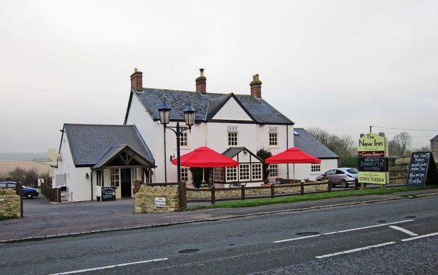
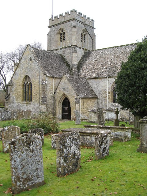
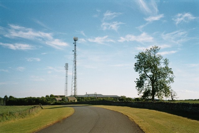
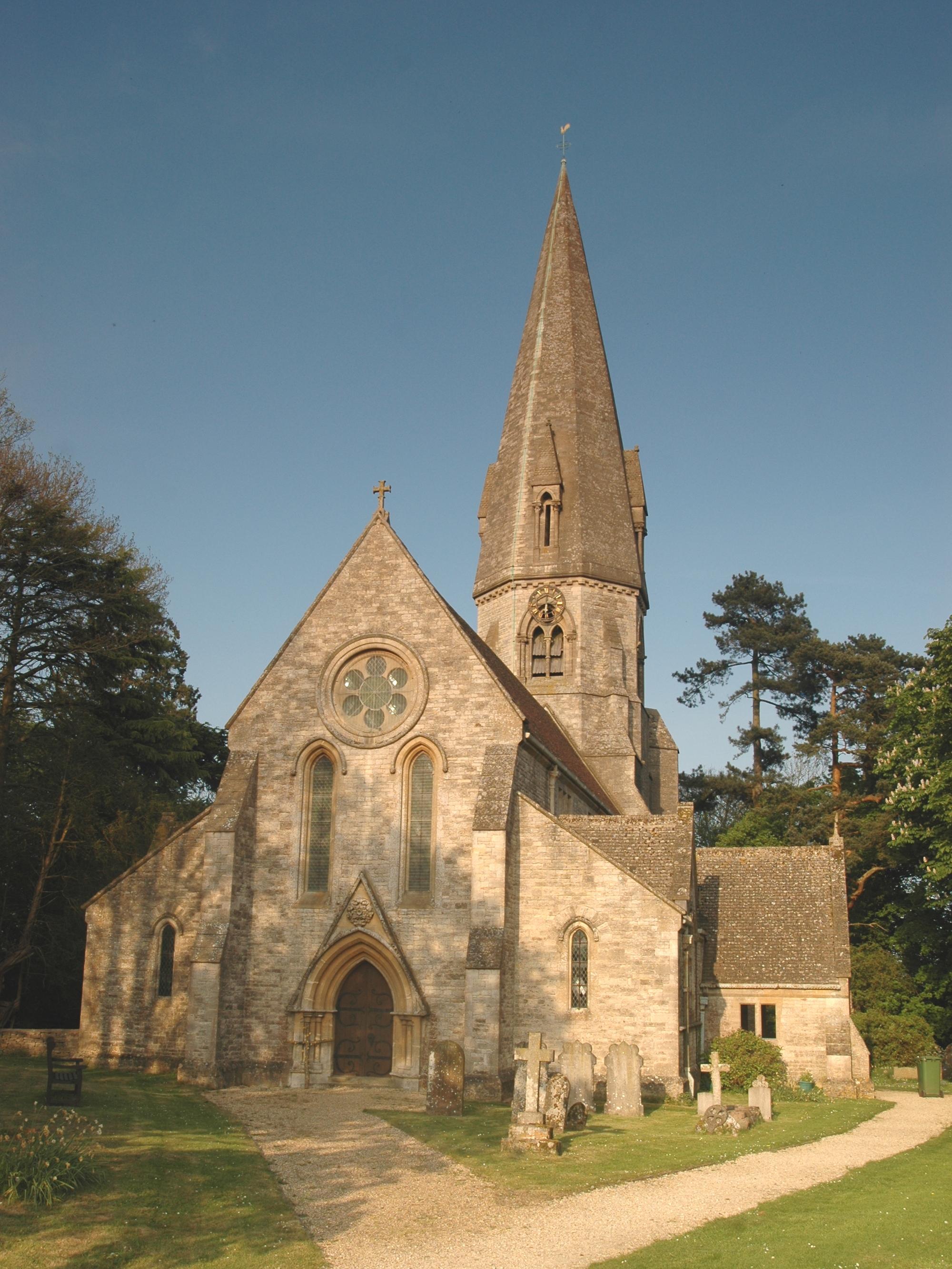
Pool's Bottom Images

Images are sourced within 2km of 51.812983/-1.5481854 or Grid Reference SP3112. Thanks to Geograph Open Source API. All images are credited.

The Old Swan, Minster Lovell
Village Cross, Minster Lovell The base of a medieval wayside cross at the junction of Minster Riding and a u/c road, nestling in the verge by the Old Swan pub. The village is prone to flooding and the bridge approach has a raised footpath beside the road.
The cross would have been for pilgrims to the Minster to pray for a safe crossing of the river.
The remains of the Little Minster are viewable but walking down School Lane is advised. 

Grade II listed monument Nᴼ 1300729 see <span class="nowrap"><a title="https://historicengland.org.uk/listing/the-list/list-entry/1300729" rel="nofollow ugc noopener" href="https://historicengland.org.uk/listing/the-list/list-entry/1300729">Link</a><img style="margin-left:2px;" alt="External link" title="External link - shift click to open in new window" src="https://s1.geograph.org.uk/img/external.png" width="10" height="10"/></span>

Milestone Society National ID: OXWO_MIN
Village Cross, Minster Lovell
The base of a medieval wayside cross at the junction of Minster Riding and a u/c road, nestling in the verge by the Old Swan pub. The village is prone to flooding and the bridge approach has a raised footpath beside the road. The cross would have been for pilgrims to the Minster to pray for a safe crossing of the river. The remains of the Little Minster are viewable but walking down School Lane is advised. Grade II listed monument Nᴼ 1300729 see LinkExternal link Milestone Society National ID: OXWO_MIN
Derelict shed In a field just east of Dodds Farm, beside the road from Field Assarts to Crawley.
Derelict shed
In a field just east of Dodds Farm, beside the road from Field Assarts to Crawley.
Derelict shed near Dodds Farm Just east of the farm, in a field beside the road from Field Assarts to Crawley.
Derelict shed near Dodds Farm
Just east of the farm, in a field beside the road from Field Assarts to Crawley.
B4047 in Minster Lovell
Minster Lovell Church St Kenelm, 15th century church adjacent to the ruins of Minster Lovell Hall.
<span class="nowrap"><a title="http://www.english-heritage.org.uk/daysout/properties/minster-lovell-hall-and-dovecote/" rel="nofollow ugc noopener" href="http://www.english-heritage.org.uk/daysout/properties/minster-lovell-hall-and-dovecote/">Link</a><img style="margin-left:2px;" alt="External link" title="External link - shift click to open in new window" src="https://s1.geograph.org.uk/img/external.png" width="10" height="10"/></span>
Minster Lovell Church
St Kenelm, 15th century church adjacent to the ruins of Minster Lovell Hall. LinkExternal link
St Kenelm 15th century, Cotswold stone, parish church of Minster Lovell.
<span class="nowrap"><a title="http://www.english-heritage.org.uk/daysout/properties/minster-lovell-hall-and-dovecote/" rel="nofollow ugc noopener" href="http://www.english-heritage.org.uk/daysout/properties/minster-lovell-hall-and-dovecote/">Link</a><img style="margin-left:2px;" alt="External link" title="External link - shift click to open in new window" src="https://s1.geograph.org.uk/img/external.png" width="10" height="10"/></span>
St Kenelm
15th century, Cotswold stone, parish church of Minster Lovell. LinkExternal link
Minster Lovell Dovecot 15th century, circular dovecot close to the ruins of Minster Lovell Hall.
<span class="nowrap"><a title="http://www.english-heritage.org.uk/daysout/properties/minster-lovell-hall-and-dovecote/" rel="nofollow ugc noopener" href="http://www.english-heritage.org.uk/daysout/properties/minster-lovell-hall-and-dovecote/">Link</a><img style="margin-left:2px;" alt="External link" title="External link - shift click to open in new window" src="https://s1.geograph.org.uk/img/external.png" width="10" height="10"/></span>
Minster Lovell Dovecot
15th century, circular dovecot close to the ruins of Minster Lovell Hall. LinkExternal link
Field by Minster Lovell Hall Grassy and neglected field to the east of ruined Minster Lovell Hall.
Field by Minster Lovell Hall
Grassy and neglected field to the east of ruined Minster Lovell Hall.
Fish Pond, Minster Lovell Hall Evening sunshine on one of the ponds which once supplied fresh fish to the owners of Minster Lovell Hall.
<span class="nowrap"><a title="http://www.english-heritage.org.uk/daysout/properties/minster-lovell-hall-and-dovecote/" rel="nofollow ugc noopener" href="http://www.english-heritage.org.uk/daysout/properties/minster-lovell-hall-and-dovecote/">Link</a><img style="margin-left:2px;" alt="External link" title="External link - shift click to open in new window" src="https://s1.geograph.org.uk/img/external.png" width="10" height="10"/></span>
Fish Pond, Minster Lovell Hall
Evening sunshine on one of the ponds which once supplied fresh fish to the owners of Minster Lovell Hall. LinkExternal link
Minster Lovell Hall, Fish Pond One of two large ponds which were once stocked with fish to provide food for the owners of Minster Lovell Hall.
<span class="nowrap"><a title="http://www.english-heritage.org.uk/daysout/properties/minster-lovell-hall-and-dovecote/" rel="nofollow ugc noopener" href="http://www.english-heritage.org.uk/daysout/properties/minster-lovell-hall-and-dovecote/">Link</a><img style="margin-left:2px;" alt="External link" title="External link - shift click to open in new window" src="https://s1.geograph.org.uk/img/external.png" width="10" height="10"/></span>
Minster Lovell Hall, Fish Pond
One of two large ponds which were once stocked with fish to provide food for the owners of Minster Lovell Hall. LinkExternal link
Minster Lovell Hall Ruins Massive remains of the home of the Lord Lovell. Building began in the 15th century. The house was later sold to Sir Edward Coke (1602). It fell into ruin ca 1747 and was used for farm buildings. Today, it is now owned by English Heritage.
<span class="nowrap"><a title="http://www.english-heritage.org.uk/daysout/properties/minster-lovell-hall-and-dovecote/" rel="nofollow ugc noopener" href="http://www.english-heritage.org.uk/daysout/properties/minster-lovell-hall-and-dovecote/">Link</a><img style="margin-left:2px;" alt="External link" title="External link - shift click to open in new window" src="https://s1.geograph.org.uk/img/external.png" width="10" height="10"/></span>
Minster Lovell Hall Ruins
Massive remains of the home of the Lord Lovell. Building began in the 15th century. The house was later sold to Sir Edward Coke (1602). It fell into ruin ca 1747 and was used for farm buildings. Today, it is now owned by English Heritage. LinkExternal link
The New Inn (1), Burford Road, Minster Lovell On the edge of Minster Lovell, the New Inn describes itself as a country bistro.  It is certainly more a restaurant than a pub, although it does stock some draught beers. Update - since September 2013 the pub has been called "The Dovecote", and later it adopted the name of The Horse & Radish. .

<a href="https://www.geograph.org.uk/photo/2711736">SP3010 : The New Inn (2) - sign, Burford Road, Minster Lovell</a>.
<a href="https://www.geograph.org.uk/photo/6506126">SP3010 : The Horse & Radish (1), Burford Road, Minster Lovell, Oxon</a>
The New Inn (1), Burford Road, Minster Lovell
On the edge of Minster Lovell, the New Inn describes itself as a country bistro. It is certainly more a restaurant than a pub, although it does stock some draught beers. Update - since September 2013 the pub has been called "The Dovecote", and later it adopted the name of The Horse & Radish. . SP3010 : The New Inn (2) - sign, Burford Road, Minster Lovell. SP3010 : The Horse & Radish (1), Burford Road, Minster Lovell, Oxon
The New Inn (2) - sign, Burford Road, Minster Lovell The sign is adjacent to Burford Road (the B4047). Update - the name was changed to "The Dovecote", but it is now "The Horse & Radish".

<a href="https://www.geograph.org.uk/photo/2711720">SP3010 : The New Inn (1), Burford Road, Minster Lovell</a>.
<a href="https://www.geograph.org.uk/photo/6506127">SP3010 : The Horse & Radish (2) - sign, Burford Road, Minster Lovell, Oxon</a>.
The New Inn (2) - sign, Burford Road, Minster Lovell
The sign is adjacent to Burford Road (the B4047). Update - the name was changed to "The Dovecote", but it is now "The Horse & Radish". SP3010 : The New Inn (1), Burford Road, Minster Lovell. SP3010 : The Horse & Radish (2) - sign, Burford Road, Minster Lovell, Oxon.
Minster Lovell War Memorial, Brize Norton Road, Minster Lovell Located near the corner of Brize Norton Road and Burford Road (the B4047). It was moved to this site in 2006. The original position had become isolated due to road changes, and the monument consequently suffered from neglect and vandalism. A grant from the War Memorials Trust assisted with the relocation. The Trust made a further grant in 2008 for conservation work, including re-pointing and re-cutting of lettering where necessary.

The inscription reads:- "To the glory of God and in memory of the men of Minster Lovell who gave their lives for their country in the Great War". The War Memorial was designed by Mr F.E. Howard of Oxford and dedicated in May 1921.
Minster Lovell War Memorial, Brize Norton Road, Minster Lovell
Located near the corner of Brize Norton Road and Burford Road (the B4047). It was moved to this site in 2006. The original position had become isolated due to road changes, and the monument consequently suffered from neglect and vandalism. A grant from the War Memorials Trust assisted with the relocation. The Trust made a further grant in 2008 for conservation work, including re-pointing and re-cutting of lettering where necessary. The inscription reads:- "To the glory of God and in memory of the men of Minster Lovell who gave their lives for their country in the Great War". The War Memorial was designed by Mr F.E. Howard of Oxford and dedicated in May 1921.
Bus shelter and stop, Burford Road, Minster Lovell A very basic stone built bus shelter and adjacent stop. Located on Burford Road near the junction with Brize Norton Road.
Bus shelter and stop, Burford Road, Minster Lovell
A very basic stone built bus shelter and adjacent stop. Located on Burford Road near the junction with Brize Norton Road.
River Windrush Frosty December morning at Minster Lovell recreation ground, showing the River Windrush
River Windrush
Frosty December morning at Minster Lovell recreation ground, showing the River Windrush
The ruins of Minster Lovell Hall Built in this form from 1440 onwards the site was abandoned by 1747 and the building was dismantled by those seeking stone, oak beans etc and was so forgotten about by the 1800's that the ruins were thought to be those of an alien priory. They are now managed by English Heritage.
The ruins of Minster Lovell Hall
Built in this form from 1440 onwards the site was abandoned by 1747 and the building was dismantled by those seeking stone, oak beans etc and was so forgotten about by the 1800's that the ruins were thought to be those of an alien priory. They are now managed by English Heritage.
Show me another place!

Pool's Bottom is located at Grid Ref: SP3112 (Lat: 51.812983, Lng: -1.5481854)

Administrative County: Oxfordshire

District: West Oxfordshire

Police Authority: Thames Valley

What 3 Words

///shudders.purple.grid. Near Minster Lovell, Oxfordshire

Related Wikis

Nearby Amenities

Located within 500m of 51.812983,-1.5481854
Asthall Leigh
Is In: Oxfordshire, England, UK
Place: village
Lat/Long: 51.8120693/-1.5549968
Church
Naptan AtcoCode: 340000058V
Naptan Bearing: S
Naptan BusStopType: CUS
Naptan CommonName: Church
Naptan Indicator: Opposite
Naptan Landmark: Church
Naptan NaptanCode: oxfamajt
Naptan Street: Unclassified
Naptan Verified: no
Source: naptan_import
Lat/Long: 51.8122429/-1.5546823
Church
Naptan AtcoCode: 340000058VN
Naptan Bearing: N
Naptan BusStopType: CUS
Naptan CommonName: Church
Naptan Indicator: Outside
Naptan Landmark: Church
Naptan NaptanCode: oxfgajgm
Naptan Street: Unclassified
Naptan Verified: no
Source: naptan_import
Lat/Long: 51.8122703/-1.5547836
Power: pole
Lat/Long: 51.8127588/-1.5451293
Power: pole
Lat/Long: 51.811142/-1.5417363
Power: pole
Lat/Long: 51.8152096/-1.5467064
Power: pole
Lat/Long: 51.8141202/-1.5467896
Power: pole
Lat/Long: 51.8141153/-1.5468888
Power: pole
Lat/Long: 51.8134702/-1.5459527
Power: pole
Lat/Long: 51.8114239/-1.5433108
Power: pole
Lat/Long: 51.8113477/-1.5433188
Power: pole
Lat/Long: 51.8150675/-1.5467937
Power: pole
Source: Bing
Lat/Long: 51.8169448/-1.5466328
Power: pole
Lat/Long: 51.8110624/-1.5416961
Power: pole
Lat/Long: 51.8134536/-1.5460413
Power: pole
Source: Bing
Lat/Long: 51.8170711/-1.5465313
Power: pole
Lat/Long: 51.812069/-1.5442361
Power: pole
Lat/Long: 51.8161544/-1.5466115
Power: pole
Lat/Long: 51.8127816/-1.5450507
Power: pole
Lat/Long: 51.8160316/-1.546714
Power: pole
Lat/Long: 51.8114816/-1.543556
Power: pole
Lat/Long: 51.8115481/-1.5435163
Power: pole
Lat/Long: 51.8121176/-1.5441925
Building: church
Lat/Long: 51.811976/-1.5552162
The data included in this document is from www.openstreetmap.org. The data is made available under ODbL.

Have you been to Pool's Bottom?

Leave your review of Pool's Bottom below (or comments, questions and feedback).