Glen Howe

Valley in Yorkshire

England

Glen Howe

Railway Bridge
Railway Bridge Credit: Dave Pickersgill

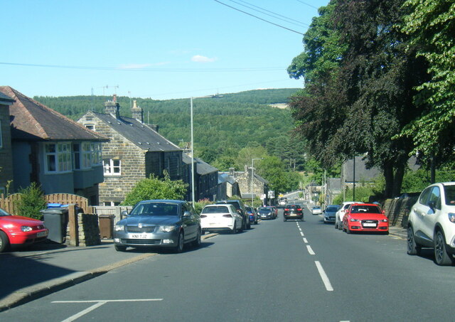
Glen Howe is a picturesque valley located in the county of Yorkshire, England. Nestled amidst the stunning countryside, this valley offers a serene and tranquil setting for visitors to enjoy. Situated near the market town of Helmsley, Glen Howe boasts breathtaking natural beauty and is a popular destination for nature enthusiasts and hikers.

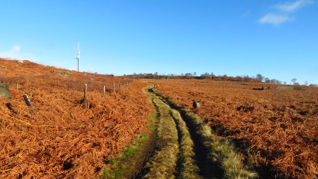
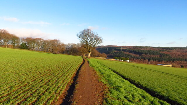
The valley is characterized by its rolling hills, lush green meadows, and meandering streams, creating a postcard-worthy landscape. It is home to a diverse range of flora and fauna, making it an ideal spot for wildlife spotting and birdwatching. Visitors can expect to see a variety of species, including deer, rabbits, and a plethora of bird species.

Glen Howe also offers a network of walking trails, catering to both beginners and experienced hikers. These trails take visitors through the heart of the valley, offering panoramic views of the surrounding countryside. Along the way, walkers can discover hidden gems such as ancient woodlands, historic landmarks, and charming villages.

For those seeking a peaceful retreat, Glen Howe provides several camping and picnic spots, allowing visitors to immerse themselves in the natural beauty of the valley. There are also nearby accommodations and amenities in Helmsley for those looking for a longer stay.

Overall, Glen Howe, Yorkshire, is a haven for nature lovers, offering a tranquil escape from the hustle and bustle of everyday life. With its stunning landscapes and abundant wildlife, it is a must-visit destination for anyone looking to immerse themselves in the beauty of the Yorkshire countryside.

If you have any feedback on the listing, please let us know in the comments section below.
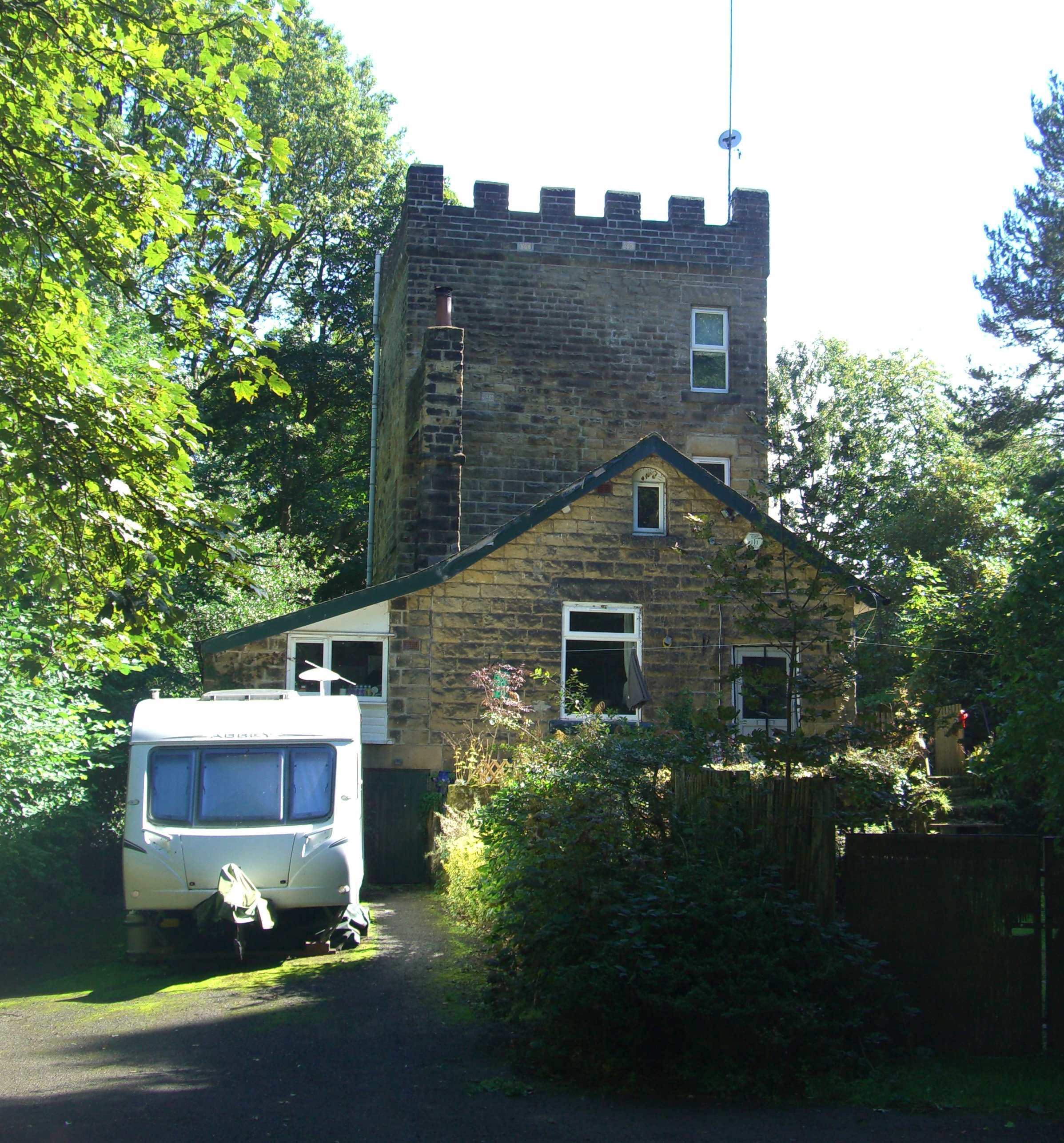
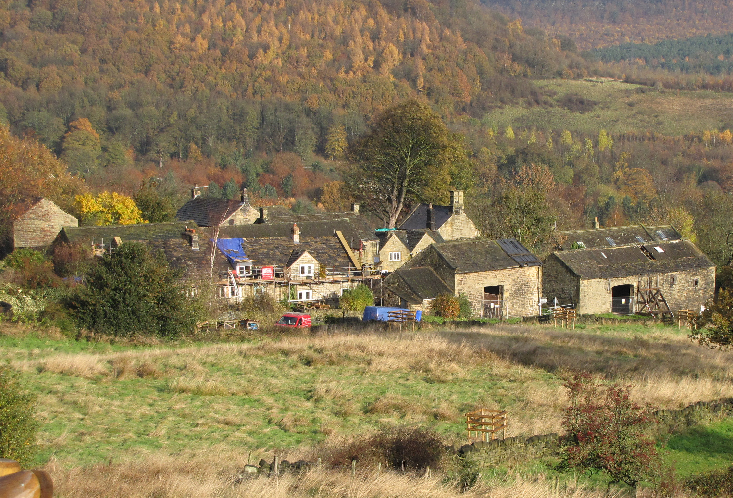
Glen Howe Images

Images are sourced within 2km of 53.444839/-1.5602466 or Grid Reference SK2994. Thanks to Geograph Open Source API. All images are credited.

Railway Bridge
Railway Bridge
Woodland path, Wharncliffe Wood
Track leading up to Hobb Stones, Wharncliffe Chase
Track leading to Wharncliffe Lodge, Wharncliffe Chase
Fallen tree near Wharncliffe Lodge, Wharncliffe Chase
View towards Allman Well Hill from Wharncliffe Crags
The River Don at Oughtibridge Station Road passes over the River Don at Oughtibridge. The Cock Inn can also be seen.
The River Don at Oughtibridge
Station Road passes over the River Don at Oughtibridge. The Cock Inn can also be seen.
Church Road, Oughtibridge
Birkin Cemetery, Oughtibridge
More Hall Reservoir The water levels in More Hall Reservoir seem to be a bit low.
More Hall Reservoir
The water levels in More Hall Reservoir seem to be a bit low.
Wharncliffe Side, Don Valley
Field path between Horse Croft Lane & Long Lane, Onesacre
View to More Hall and Broomhead Reservoirs from Wharncliffe Lodge, Wharncliffe Chase
View along More Hall Reservoir from its dam
Dam at More Hall Reservoir
More Hall Reservoir
More Hall Reservoir
Path leading NE from Brittains Plantation to Lumb Lane, High Bradfield
Crossroads at junction of Lumb Lane & Onesmoor Bottom
Show me another place!

Glen Howe is located at Grid Ref: SK2994 (Lat: 53.444839, Lng: -1.5602466)

Division: West Riding

Unitary Authority: Sheffield

Police Authority: South Yorkshire

What 3 Words

///yarn.slim.quick. Near Oughtibridge, South Yorkshire

Related Wikis

Glen Howe Park

Glen Howe Park is a public recreation area in the village of Wharncliffe Side within the City of Sheffield, England. The park covers an area of 19 acres...

Wharncliffe Side

Wharncliffe Side is a village in South Yorkshire, England, northwest of Sheffield and within the city borough. Wharcliffe Side is located on the west bank...

Wortley Rural District

Wortley was a rural district in the West Riding of Yorkshire from 1894 to 1974, situated to the north-west of the county borough of Sheffield. It was abolished...

Brightholmlee

Brightholmlee is a small rural hamlet situated within the City of Sheffield in England. The hamlet falls within the Stannington Ward of the City. It is...

Nearby Amenities

Located within 500m of 53.444839,-1.5602466
Barrier: stile
Lat/Long: 53.4487577/-1.5629447
Power: pole
Lat/Long: 53.447181/-1.5648922
Power: pole
Lat/Long: 53.4461479/-1.5655916
Barrier: stile
Lat/Long: 53.4453076/-1.5618153
Information: board
Tourism: information
Lat/Long: 53.4445801/-1.558714
Barrier: stile
Lat/Long: 53.4439342/-1.562954
Barrier: stile
Lat/Long: 53.4435225/-1.5589892
Shelter
Lat/Long: 53.4440059/-1.5603061
Barrier: stile
Lat/Long: 53.4429971/-1.5618764
Barrier: stile
Lat/Long: 53.4417941/-1.554891
Barrier: stile
Lat/Long: 53.4431259/-1.5557778
Barrier: stile
Lat/Long: 53.4447559/-1.5560912
Barrier: stile
Lat/Long: 53.4466589/-1.5548694
Barrier: stile
Lat/Long: 53.4421998/-1.5623325
Barrier: stile
Lat/Long: 53.4430671/-1.5632548
Barrier: stile
Lat/Long: 53.4438136/-1.5642412
Barrier: stile
Lat/Long: 53.4461555/-1.5533273
Barrier: stile
Lat/Long: 53.4431424/-1.5558475
Artwork Type: sculpture
Material: stone
Tourism: artwork
Lat/Long: 53.444591/-1.554982
Bench
Lat/Long: 53.4431725/-1.5533655
Tourism: picnic_site
Lat/Long: 53.4445144/-1.5550151
Grit Bin
Operator: Sheffield City Council
Operator Type: government
Operator Wikidata: Q7492609
Seasonal: no
Lat/Long: 53.4467776/-1.5548227
Grit Bin
Operator: Sheffield City Council
Operator Type: government
Operator Wikidata: Q7492609
Seasonal: no
Lat/Long: 53.4406383/-1.559659
Grit Bin
Operator: Sheffield City Council
Operator Type: government
Operator Wikidata: Q7492609
Seasonal: no
Lat/Long: 53.443384/-1.5534882
Grit Bin
Operator: Sheffield City Council
Operator Type: government
Operator Wikidata: Q7492609
Seasonal: no
Lat/Long: 53.4470355/-1.5540822
Bench
Backrest: yes
Lat/Long: 53.4445757/-1.5586534
Bench
Backrest: yes
Lat/Long: 53.4447835/-1.5592034
Bench
Backrest: yes
Lat/Long: 53.4449452/-1.5611947
Bench
Backrest: no
Lat/Long: 53.4435354/-1.5607117
Bench
Backrest: yes
Lat/Long: 53.4450732/-1.5601966
Bench
Backrest: yes
Lat/Long: 53.4448343/-1.5614574
The data included in this document is from www.openstreetmap.org. The data is made available under ODbL.

Have you been to Glen Howe?

Leave your review of Glen Howe below (or comments, questions and feedback).