Yewtree Bottom
Valley in Hampshire New Forest
England
Yewtree Bottom
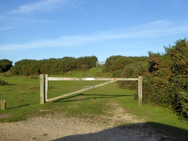
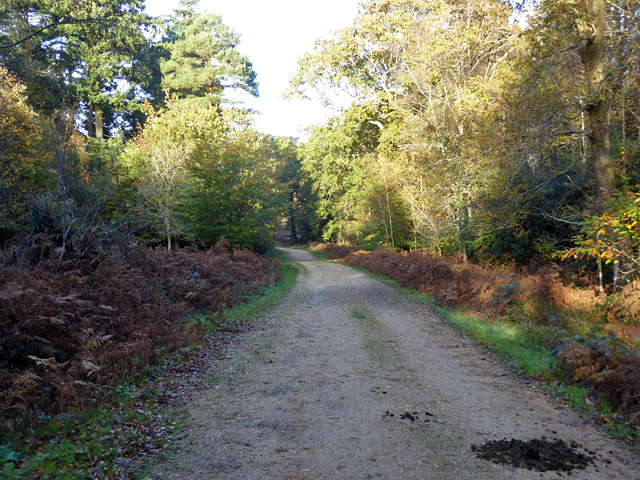
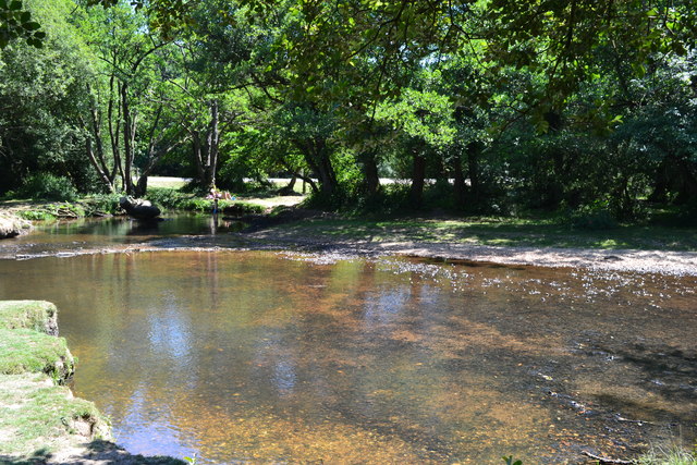
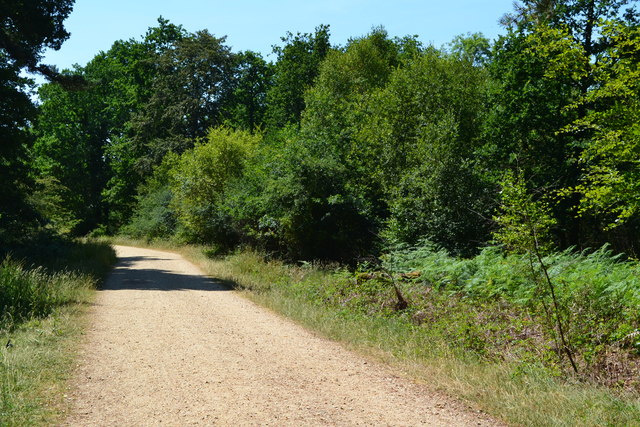
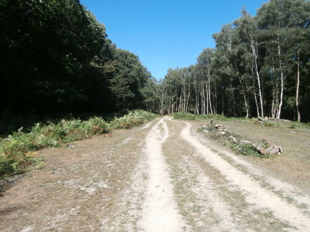
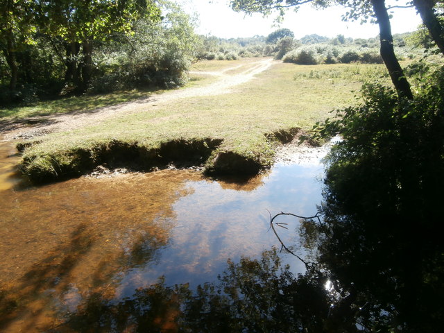
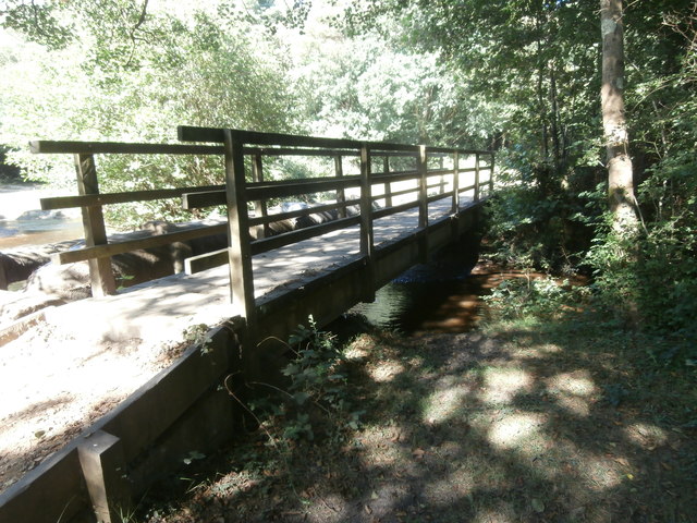
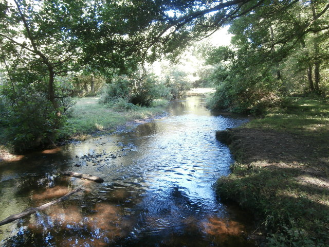
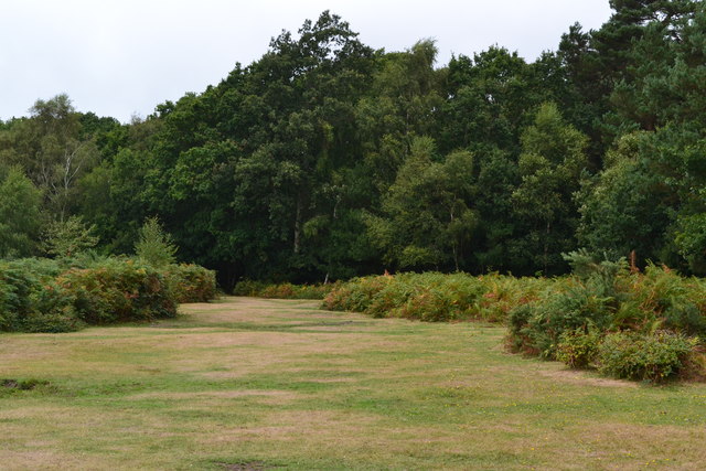
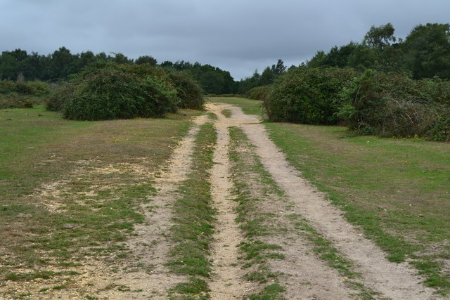
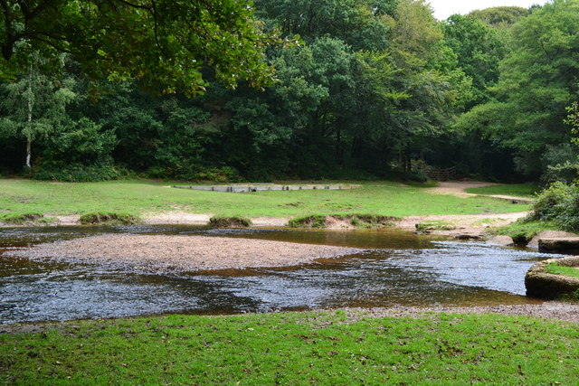
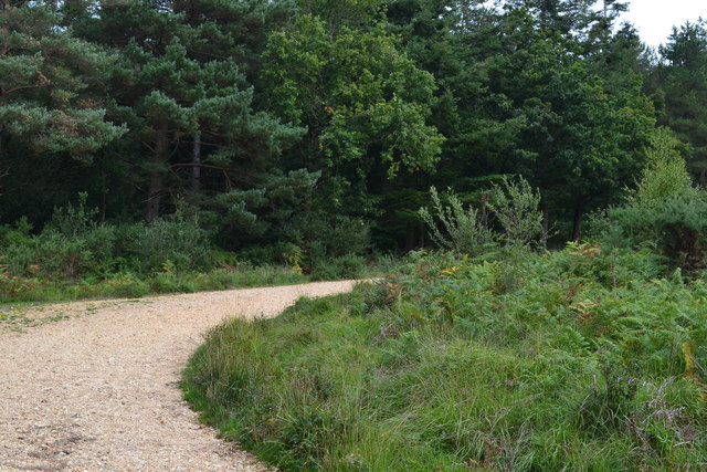
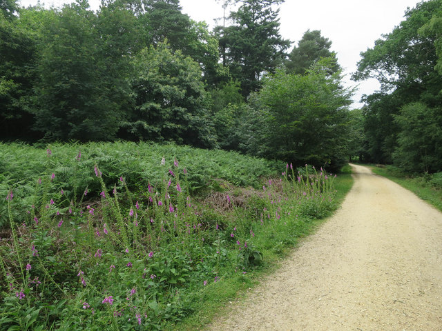
Yewtree Bottom, located in Hampshire, is a picturesque valley that is known for its natural beauty and historical significance. Situated in the South Downs National Park, the valley is surrounded by rolling hills and dense woodlands, providing a tranquil and idyllic setting for visitors.
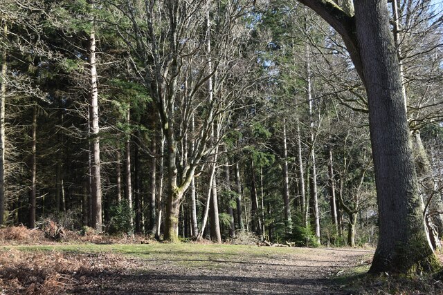
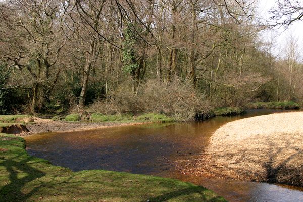
The valley gets its name from the abundance of yew trees that can be found in the area. These ancient trees, some of which are estimated to be over 500 years old, add a sense of enchantment and mystique to the landscape. Yewtree Bottom is often considered a haven for wildlife, as it provides a diverse habitat for a variety of species, including birds, small mammals, and rare plants.
Aside from its natural allure, Yewtree Bottom has historical significance. The valley is dotted with remnants of ancient settlements and archaeological sites, including Bronze Age burial mounds and Iron Age hillforts. These archaeological discoveries offer a glimpse into the rich history of the area and attract history enthusiasts from far and wide.
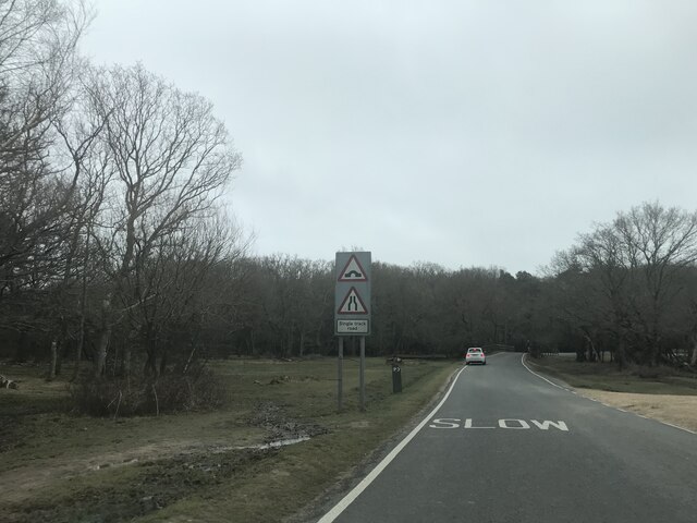
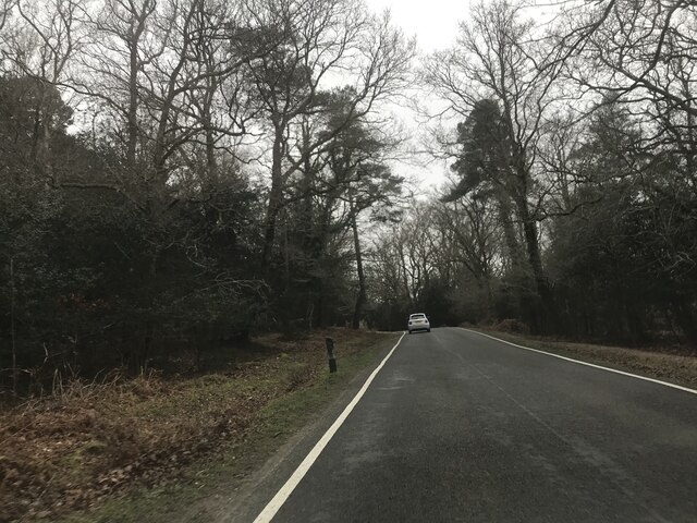
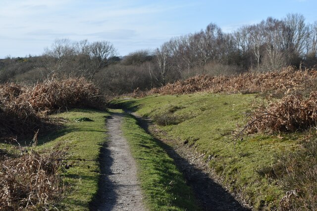
For outdoor enthusiasts, Yewtree Bottom offers a plethora of recreational activities. The valley is crisscrossed with walking trails, allowing visitors to explore its beauty on foot. Hiking, birdwatching, and picnicking are popular pastimes here. Additionally, the valley is a great spot for stargazing due to its remote location and limited light pollution.
Whether you are seeking a peaceful retreat in nature, a glimpse into the past, or an outdoor adventure, Yewtree Bottom in Hampshire is a destination that promises to captivate and inspire.
If you have any feedback on the listing, please let us know in the comments section below.
Yewtree Bottom Images
Images are sourced within 2km of 50.802143/-1.6366567 or Grid Reference SU2500. Thanks to Geograph Open Source API. All images are credited.
Yewtree Bottom is located at Grid Ref: SU2500 (Lat: 50.802143, Lng: -1.6366567)
Administrative County: Hampshire
District: New Forest
Police Authority: Hampshire
What 3 Words
///drumbeat.fleet.custom. Near Sway, Hampshire
Nearby Locations
Related Wikis

New Forest West (UK Parliament constituency)
New Forest West is a constituency represented in the House of Commons of the UK Parliament since 1997 by Desmond Swayne, a Conservative. == Constituency... ==
Avon Water, Hampshire
Avon Water is a small river draining some of the southwest of the New Forest in Hampshire to The Solent. West of the upper part of its archetypally dendritic...

Wootton, New Forest
Wootton is a hamlet in the civil parish of New Milton in Hampshire, England. It is in the south of the New Forest. == Overview == Wootton is just north...

Holmsley railway station
Holmsley is a closed railway station in the county of Hampshire which served rural settlements in the New Forest. == History == The station was opened...

Tiptoe, Hampshire
Tiptoe is a small Hamlet in the New Forest National Park in Hampshire. It lies mostly within the civil parish of Hordle and partly within the civil parish...

Sway railway station
Sway railway station serves the village of Sway in Hampshire, England. It is located on the South West Main Line from London Waterloo to Weymouth. It is...

Sway, Hampshire
Sway is a village and civil parish in Hampshire in the New Forest national park in England. The civil parish was formed in 1879, when lands were taken...

Ossemsley
Ossemsley is an extended hamlet in the New Forest National Park of Hampshire, England. It lies close to the village of Bashley. The nearest town is New...
Nearby Amenities
Located within 500m of 50.802143,-1.6366567Have you been to Yewtree Bottom?
Leave your review of Yewtree Bottom below (or comments, questions and feedback).