Hag Hill
Hill, Mountain in Hampshire New Forest
England
Hag Hill
Hag Hill is a prominent hill located in Hampshire, England. Situated in the South Downs National Park, it forms part of a range of hills known as the Hampshire Downs. Rising to an elevation of approximately 800 feet (244 meters), Hag Hill offers commanding views of the surrounding countryside.
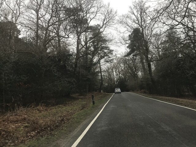
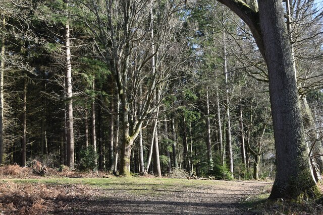
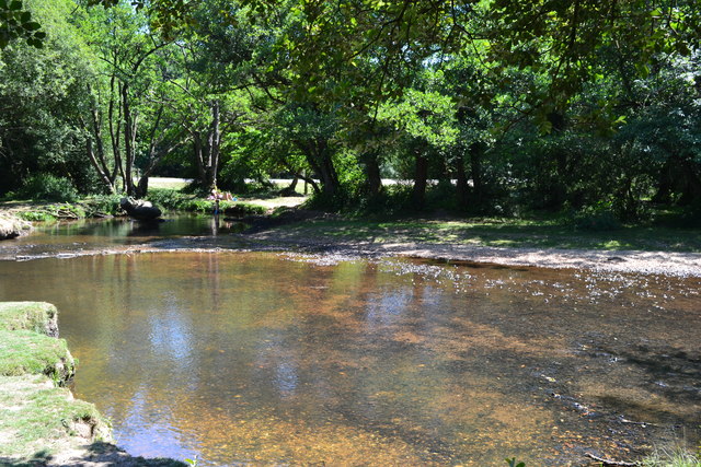
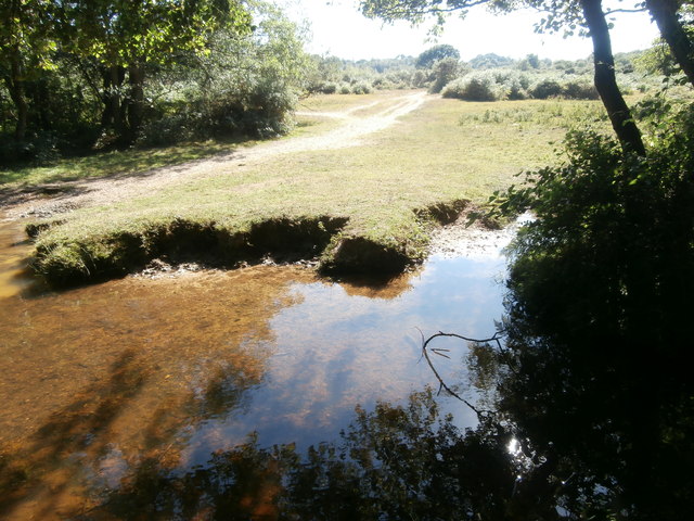
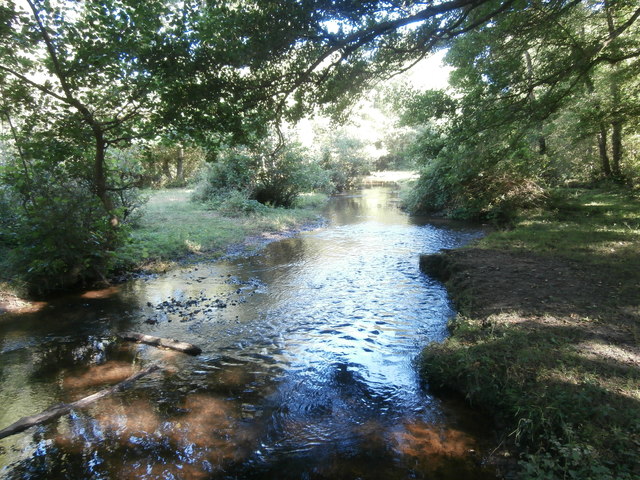
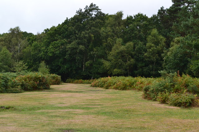
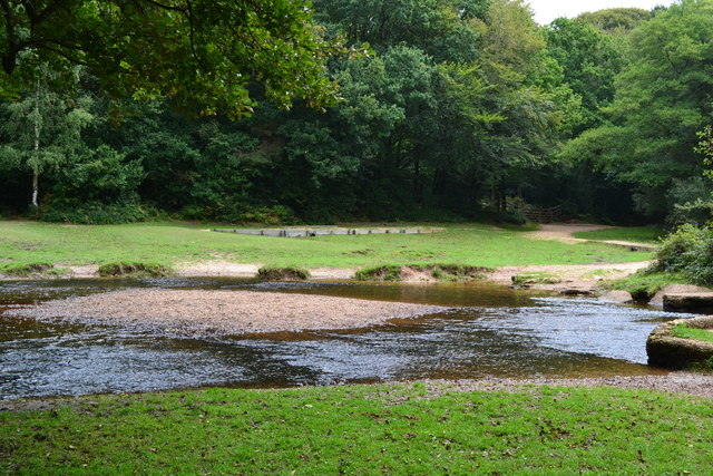
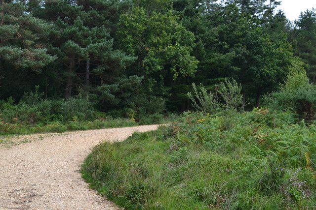
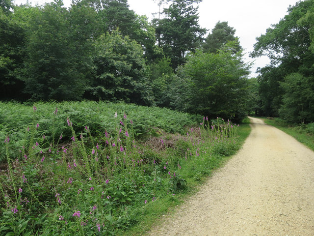
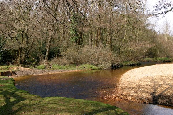
Covered in a patchwork of fields, woodlands, and hedgerows, the hill is a haven for a diverse range of flora and fauna. The slopes are predominantly covered in grasses and wildflowers, with clusters of ancient trees dotting the landscape. In spring and summer, the hillside bursts with vibrant colors as wildflowers bloom in abundance.
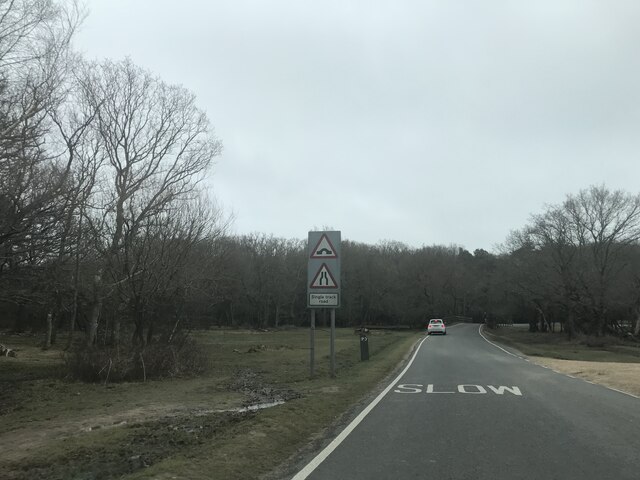
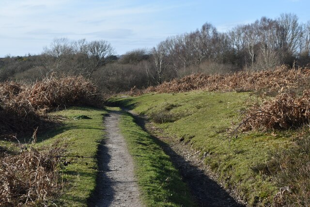
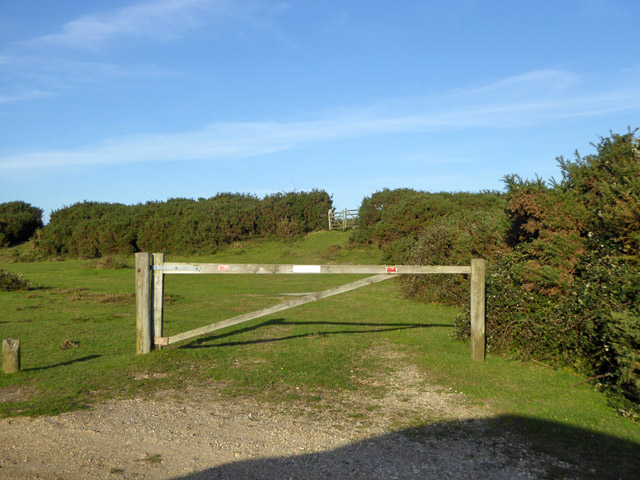
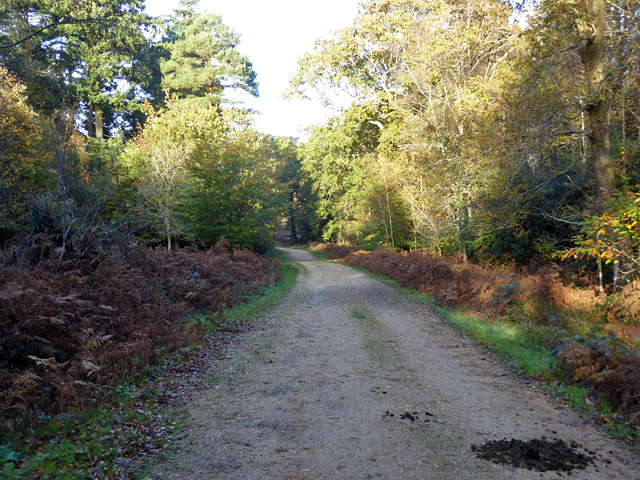
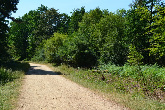
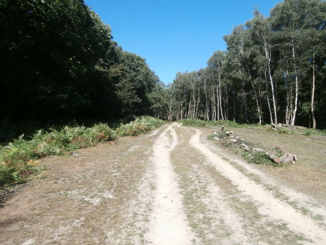
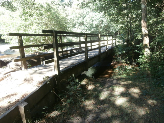
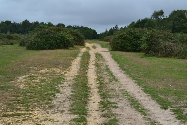
Hag Hill is a popular destination for outdoor enthusiasts and nature lovers. The hill is crisscrossed with footpaths and bridleways, offering opportunities for walking, hiking, and horseback riding. The well-maintained trails lead visitors through picturesque countryside, providing breathtaking vistas along the way.
At the summit, there is a viewpoint where visitors can take in panoramic views of the surrounding area. On a clear day, it is possible to see as far as the English Channel to the south and the rolling hills of the South Downs to the north.
Hag Hill is not only a natural gem but also holds historical significance. In the past, the hill was used as a meeting point for local communities and as a site for traditional festivities. Today, it continues to be cherished as a place of natural beauty and tranquility, attracting visitors from near and far.
If you have any feedback on the listing, please let us know in the comments section below.
Hag Hill Images
Images are sourced within 2km of 50.80028/-1.6391402 or Grid Reference SU2500. Thanks to Geograph Open Source API. All images are credited.
Hag Hill is located at Grid Ref: SU2500 (Lat: 50.80028, Lng: -1.6391402)
Administrative County: Hampshire
District: New Forest
Police Authority: Hampshire
What 3 Words
///submitted.joyously.teacher. Near Sway, Hampshire
Nearby Locations
Related Wikis

New Forest West (UK Parliament constituency)
New Forest West is a constituency represented in the House of Commons of the UK Parliament since 1997 by Desmond Swayne, a Conservative. == Constituency... ==
Avon Water, Hampshire
Avon Water is a small river draining some of the southwest of the New Forest in Hampshire to The Solent. West of the upper part of its archetypally dendritic...

Wootton, New Forest
Wootton is a hamlet in the civil parish of New Milton in Hampshire, England. It is in the south of the New Forest. == Overview == Wootton is just north...

Tiptoe, Hampshire
Tiptoe is a small Hamlet in the New Forest National Park in Hampshire. It lies mostly within the civil parish of Hordle and partly within the civil parish...

Holmsley railway station
Holmsley is a closed railway station in the county of Hampshire which served rural settlements in the New Forest. == History == The station was opened...

Sway railway station
Sway railway station serves the village of Sway in Hampshire, England. It is located on the South West Main Line from London Waterloo to Weymouth. It is...

Ossemsley
Ossemsley is an extended hamlet in the New Forest National Park of Hampshire, England. It lies close to the village of Bashley. The nearest town is New...

Bashley F.C.
Bashley Football Club is a football club based in Bashley, near New Milton, Hampshire, England. They are currently members of the Southern League Division...
Nearby Amenities
Located within 500m of 50.80028,-1.6391402Have you been to Hag Hill?
Leave your review of Hag Hill below (or comments, questions and feedback).