Cockers Dale
Valley in Yorkshire
England
Cockers Dale
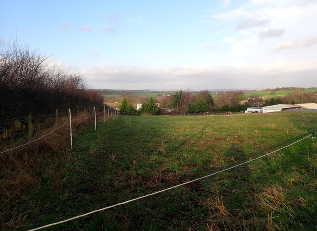
Cockers Dale, located in Yorkshire, England, is a picturesque valley surrounded by rolling hills and scenic beauty. Situated in the southern part of the county, this idyllic dale has become a popular destination for nature enthusiasts and hikers alike.
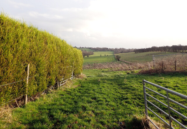
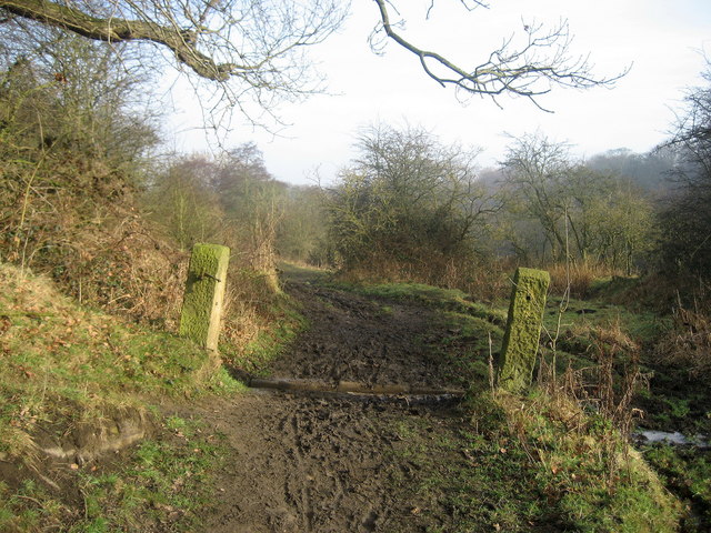
The valley is named after the River Cocker, which flows through its heart, adding to the charm and tranquility of the area. The lush greenery, dotted with wildflowers and ancient trees, creates a serene and peaceful atmosphere, making it an ideal spot for relaxation and escapism.
Cockers Dale boasts an abundance of wildlife, with various species of birds, mammals, and insects calling this valley their home. Birdwatchers will be delighted to spot a diverse range of species, including kingfishers, herons, and woodpeckers.
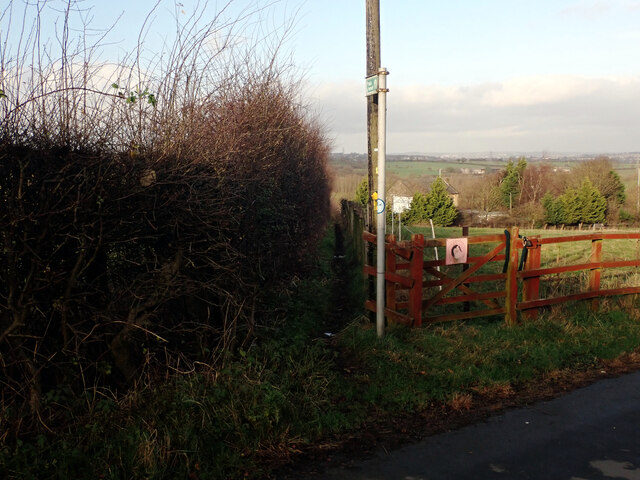
For those seeking outdoor adventures, Cockers Dale offers numerous hiking trails that cater to all levels of fitness and ability. The well-maintained paths wind through the valley, offering breathtaking views of the surrounding countryside. Along the way, visitors can discover hidden waterfalls, secluded picnic spots, and historical landmarks, such as ancient stone bridges and ruins.
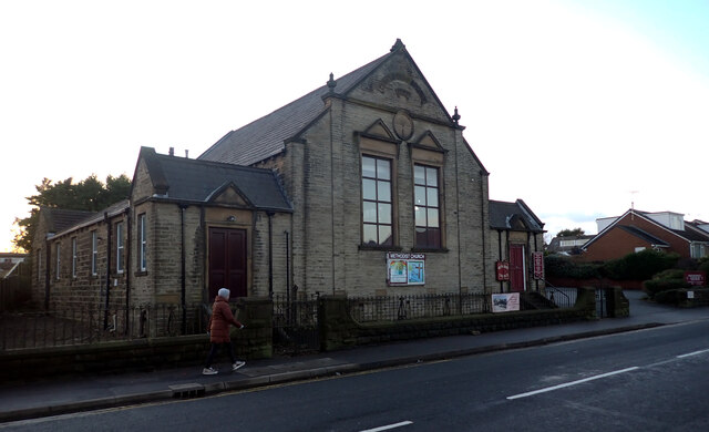
The valley is also home to a small community of locals who have preserved the traditional Yorkshire way of life. Visitors can witness the rich cultural heritage through local festivals, traditional crafts, and warm hospitality in the nearby villages.
In conclusion, Cockers Dale is a haven of natural beauty and tranquility, providing a perfect escape from the hustle and bustle of modern life. Whether you are a nature lover, a hiker, or simply seeking a peaceful retreat, this Yorkshire valley is sure to captivate your senses and leave you with lasting memories.
If you have any feedback on the listing, please let us know in the comments section below.
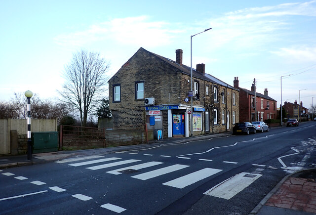
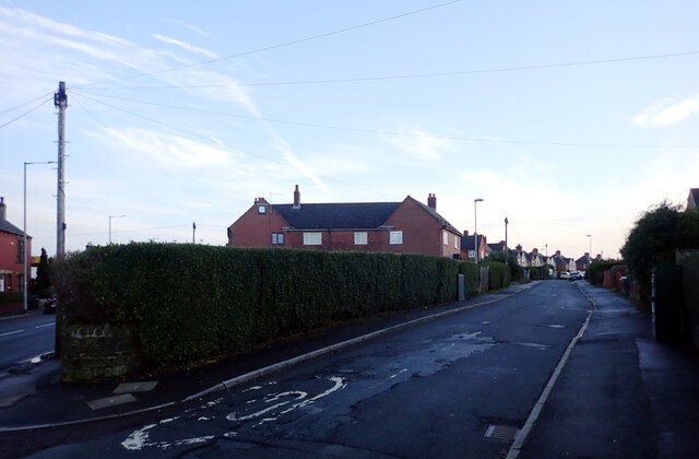
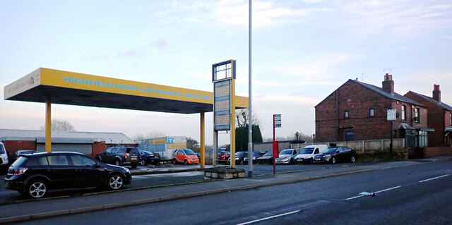
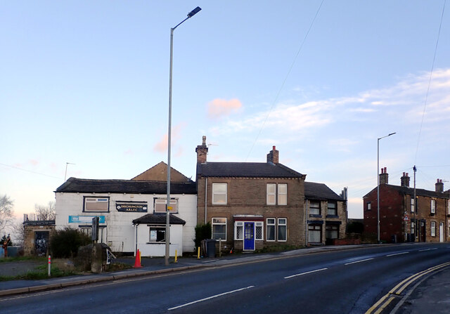
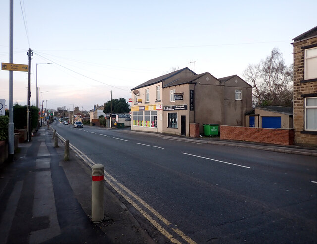
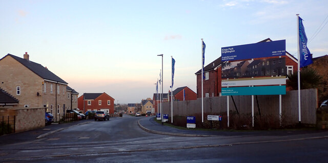
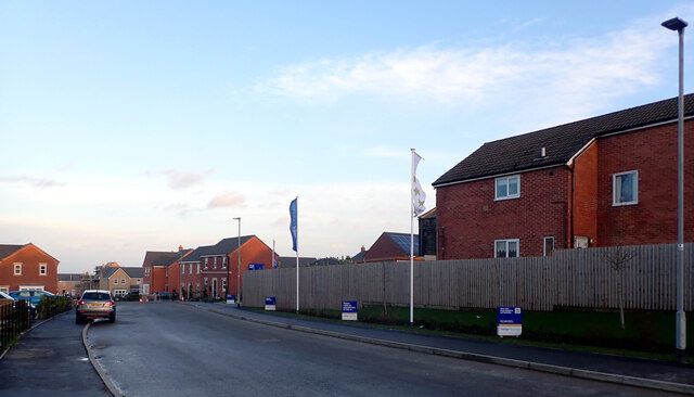
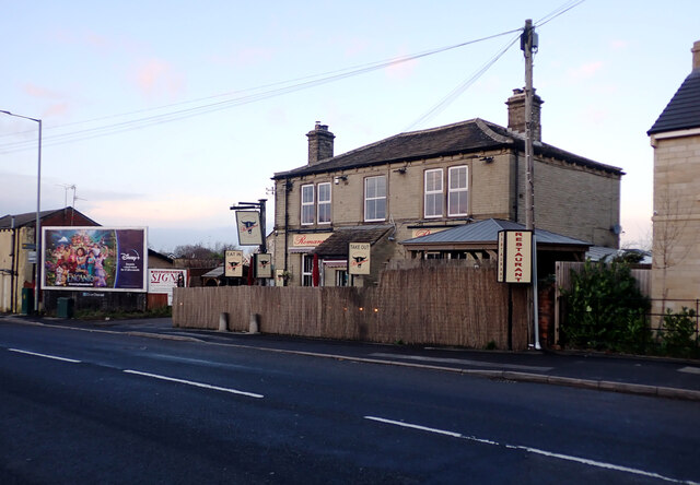
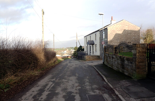
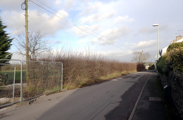
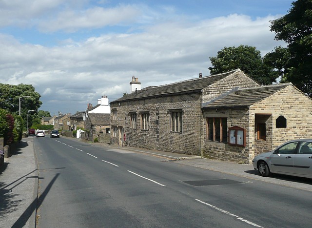
Cockers Dale Images
Images are sourced within 2km of 53.770592/-1.6466392 or Grid Reference SE2330. Thanks to Geograph Open Source API. All images are credited.
Cockers Dale is located at Grid Ref: SE2330 (Lat: 53.770592, Lng: -1.6466392)
Division: West Riding
Unitary Authority: Leeds
Police Authority: West Yorkshire
What 3 Words
///proof.turkey.salsa. Near Gildersome, West Yorkshire
Nearby Locations
Related Wikis
Cockersdale
Cockersdale is a location near Tong, south-west of Leeds, West Yorkshire, England. The Leeds Country Way follows the valley known as Cockers Dale, along...

Tong (ward)
Tong (population 17,069 - 2001 UK census) is a ward within the City of Bradford Metropolitan District Council, West Yorkshire, England, named after Tong...
Tong, West Yorkshire
Tong or Tong Village is a village and former civil parish in the City of Bradford metropolitan district, West Yorkshire, England. It is a historic village...

Gildersome
Gildersome is a village and civil parish in the City of Leeds metropolitan borough 5 miles (7 km) south-west of Leeds city centre in West Yorkshire, England...
Nearby Amenities
Located within 500m of 53.770592,-1.6466392Have you been to Cockers Dale?
Leave your review of Cockers Dale below (or comments, questions and feedback).