Nan Whins Wood

Wood, Forest in Yorkshire

England

Nan Whins Wood

View from Old Lane, Drighlington
View from Old Lane, Drighlington Credit: habiloid

Nan Whins Wood is a picturesque woodland located in the North Yorkshire region of England. Situated near the village of Yorkshire, this enchanting forest is a popular destination for nature enthusiasts and hikers alike.

Covering an area of approximately 50 acres, Nan Whins Wood is characterized by its diverse range of plant life and abundance of wildlife. The woodland is predominantly composed of deciduous trees such as oak, beech, and birch, which create a vibrant tapestry of colors during autumn. The forest floor is carpeted with bluebells and wildflowers in the spring, adding to its natural beauty.

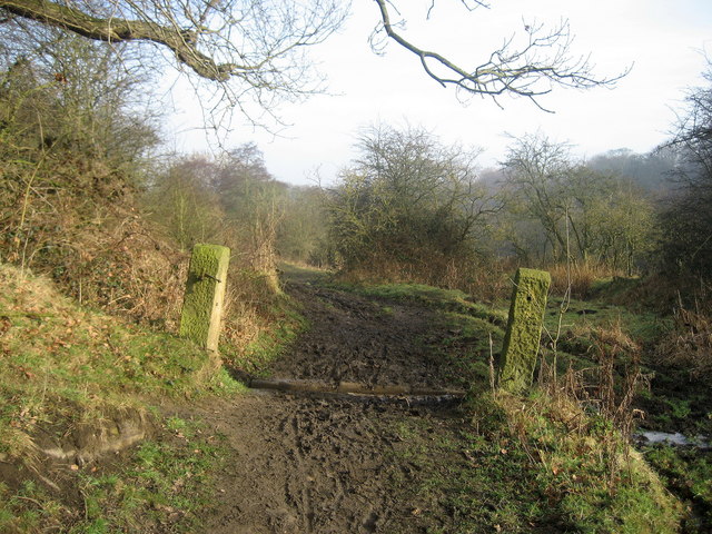
The wood is crisscrossed by a network of well-maintained footpaths, allowing visitors to explore its tranquil surroundings. These paths wind through ancient trees and lead to hidden streams and small ponds, providing opportunities for peaceful walks and birdwatching. Bird species such as woodpeckers, owls, and thrushes can often be spotted among the branches.

Nan Whins Wood is also home to a diverse range of wildlife, including squirrels, rabbits, and deer. The forest provides a rich habitat for these animals, with its dense vegetation and peaceful atmosphere offering a safe haven.

In addition to its natural wonders, Nan Whins Wood offers a visitor center that provides information on the woodland's history and conservation efforts. The center also offers guided walks and educational programs for visitors of all ages.

Overall, Nan Whins Wood is a captivating destination for nature lovers, offering a peaceful retreat from the bustling city life and showcasing the beauty of Yorkshire's natural landscape.

If you have any feedback on the listing, please let us know in the comments section below.

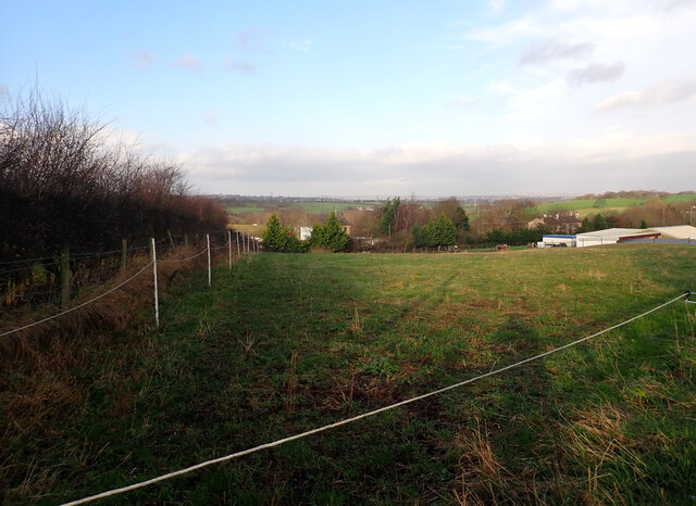
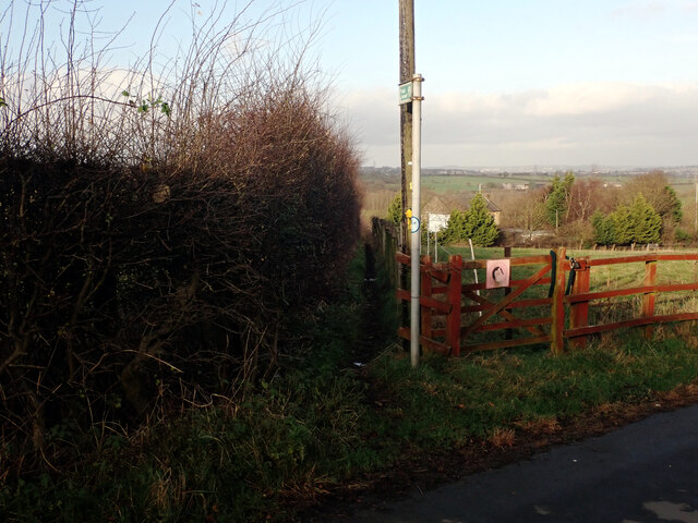
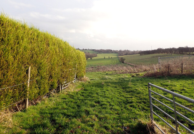
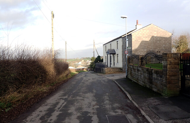
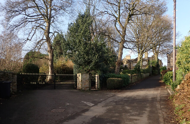
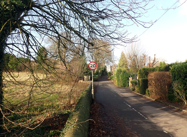
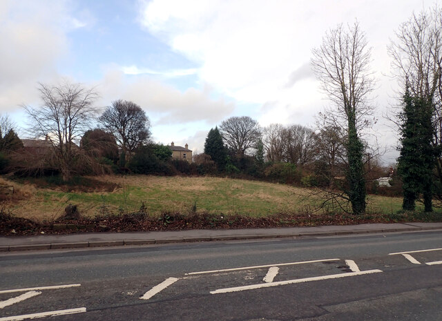
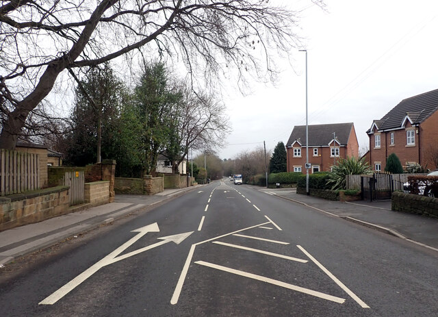
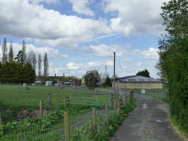
Nan Whins Wood Images

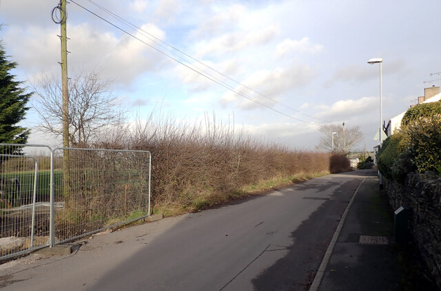
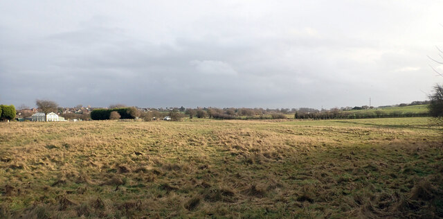
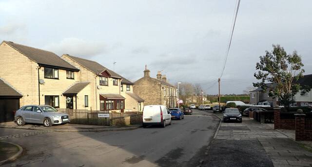
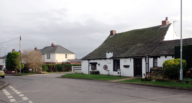
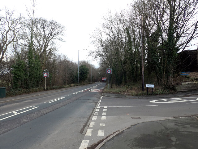
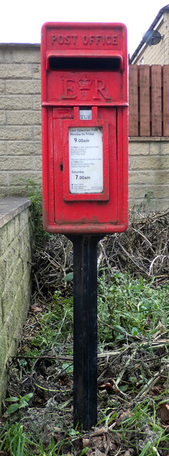
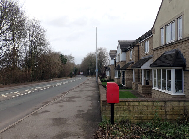
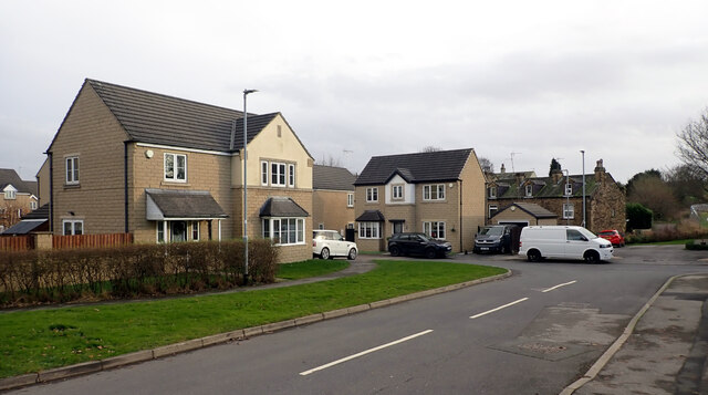
Images are sourced within 2km of 53.772372/-1.6409042 or Grid Reference SE2330. Thanks to Geograph Open Source API. All images are credited.

View from Old Lane, Drighlington
Path to Whitehall Road leaving Old Lane, Drighlington
Path from Drighlington to Gildesome
Old Lane, Drighlington
Building site, Old Lane, Drighlington
A field by Old Lane, Drighlington
Old Lane, Drighlington
Junction of Whitehall Road (A58) and Old Lane, Drighlington The A58 is the 81 mile long trans-Pennine route from Prescot on the edge of Liverpool to Wetherby in Yorkshire.
<span class="nowrap"><a title="http://www.sabre-roads.org.uk/wiki/index.php?title=A58" rel="nofollow ugc noopener" href="http://www.sabre-roads.org.uk/wiki/index.php?title=A58">Link</a><img style="margin-left:2px;" alt="External link" title="External link - shift click to open in new window" src="https://s1.geograph.org.uk/img/external.png" width="10" height="10"/></span>
Junction of Whitehall Road (A58) and Old Lane, Drighlington
The A58 is the 81 mile long trans-Pennine route from Prescot on the edge of Liverpool to Wetherby in Yorkshire. LinkExternal link
Post box, Whitehall Road (A58), Drighlington This post box can be seen in context in <a href="https://www.geograph.org.uk/photo/7058455">SE2229 : Whitehall Road (A58), Drighlington</a>.
Post box, Whitehall Road (A58), Drighlington
This post box can be seen in context in SE2229 : Whitehall Road (A58), Drighlington.
Whitehall Road (A58), Drighlington A close-up of the post box can be seen in <a href="https://www.geograph.org.uk/photo/7058453">SE2229 : Post box, Whitehall Road (A58), Drighlington</a>.
Whitehall Road (A58), Drighlington
A close-up of the post box can be seen in SE2229 : Post box, Whitehall Road (A58), Drighlington.
Lumb Hall Way, Drighlington
The Old Vicarage, Back Lane, Drighlington
Back Lane, Drighlington
Whitehall Road (A58), Drighlington The A58 is the 81 mile long trans-Pennine route from Prescot on the edge of Liverpool to Wetherby in Yorkshire.
<span class="nowrap"><a title="http://www.sabre-roads.org.uk/wiki/index.php?title=A58" rel="nofollow ugc noopener" href="http://www.sabre-roads.org.uk/wiki/index.php?title=A58">Link</a><img style="margin-left:2px;" alt="External link" title="External link - shift click to open in new window" src="https://s1.geograph.org.uk/img/external.png" width="10" height="10"/></span>
Whitehall Road (A58), Drighlington
The A58 is the 81 mile long trans-Pennine route from Prescot on the edge of Liverpool to Wetherby in Yorkshire. LinkExternal link
Carr Hall Farm, Gildersome Viewed from the access track which forms part of a public footpath.
Carr Hall Farm, Gildersome
Viewed from the access track which forms part of a public footpath.
Show me another place!

Nan Whins Wood is located at Grid Ref: SE2330 (Lat: 53.772372, Lng: -1.6409042)

Division: West Riding

Unitary Authority: Leeds

Police Authority: West Yorkshire

What 3 Words

///prices.doctor.loser. Near Gildersome, West Yorkshire

Related Wikis

Gildersome

Gildersome is a village and civil parish in the City of Leeds metropolitan borough 5 miles (7 km) south-west of Leeds city centre in West Yorkshire, England...

Cockersdale

Cockersdale is a location near Tong, south-west of Leeds, West Yorkshire, England. The Leeds Country Way follows the valley known as Cockers Dale, along...

Farnley Hall Park

Farnley Hall Park is a park in Farnley, Leeds, England, approximately four miles from the city centre. 16 hectares in size, it lies in the grounds of Farnley...

Tong (ward)

Tong (population 17,069 - 2001 UK census) is a ward within the City of Bradford Metropolitan District Council, West Yorkshire, England, named after Tong...

Nearby Amenities

Located within 500m of 53.772372,-1.6409042
Barrier: swing_gate
Lat/Long: 53.7710634/-1.6470447
Traffic Signals
Lat/Long: 53.7696529/-1.6352928
Traffic Signals
Lat/Long: 53.7693602/-1.636296
Post Box
Operator: Royal Mail
Post Box Type: lamp
Ref: LS12 86
Lat/Long: 53.7707137/-1.6338858
Bus Stop
Woodcock Inn Upper Moor Side
Bus: yes
Local Ref: 45011783
Naptan AtcoCode: 450011783
Naptan Bearing: SW
Naptan CommonName: Woodcock Inn Upper Moor Side
Naptan Crossing: Whitehall Road
Naptan Indicator: Stop 45011783
Naptan PlusbusZoneRef: LEEDS
Naptan ShortCommonName: Whitehall Road
Naptan Street: Gildersome Lane
Naptan Verified: no
Public Transport: platform
Shelter: no
Source: naptan_import
Lat/Long: 53.7693441/-1.6353522
Bus Stop
Whitehall Road Gildersome
Local Ref: 45011790
Naptan AtcoCode: 450011790
Naptan Bearing: SW
Naptan CommonName: Whitehall Road Gildersome
Naptan Crossing: Nr-At Gildersome Lane
Naptan Indicator: Stop 45011790
Naptan Landmark: Cud Hill Farm
Naptan PlusbusZoneRef: LEEDS
Naptan ShortCommonName: Cud Hill Farm
Naptan Street: Whitehall Road
Naptan Verified: no
Source: naptan_import
Lat/Long: 53.768477/-1.6392196
Bus Stop
Whitehall Road Gildersome
Local Ref: 45011791
Naptan AtcoCode: 450011791
Naptan Bearing: SE
Naptan CommonName: Whitehall Road Gildersome
Naptan Crossing: Nr-Opp Gildersome Lane
Naptan Indicator: Stop 45011791
Naptan Landmark: Cud Hill Farm
Naptan PlusbusZoneRef: LEEDS
Naptan ShortCommonName: Cud Hill Farm
Naptan Street: Whitehall Road
Naptan Verified: no
Source: naptan_import
Lat/Long: 53.768327/-1.6401464
Bus Stop
Back Lane Moor Top
Bus: yes
Local Ref: 45012176
Naptan AtcoCode: 450012176
Naptan Bearing: N
Naptan CommonName: Back Lane Moor Top
Naptan Crossing: Moor Top
Naptan Indicator: Stop 45012176
Naptan Landmark: The Woodcock PH
Naptan PlusbusZoneRef: LEEDS
Naptan ShortCommonName: Moor Top
Naptan Street: Back Lane
Naptan Verified: no
Public Transport: platform
Source: naptan_import
Lat/Long: 53.7702097/-1.6355634
Bus Stop
Back Lane Whitehall Road
Bus: yes
Local Ref: 45012178
Naptan AtcoCode: 450012178
Naptan Bearing: S
Naptan CommonName: Back Lane Whitehall Road
Naptan Crossing: Whitehall Road
Naptan Indicator: Stop 45012178
Naptan Landmark: Woodcock PH
Naptan PlusbusZoneRef: LEEDS
Naptan ShortCommonName: Whitehall Road
Naptan Street: Back Lane
Naptan Verified: no
Public Transport: platform
Shelter: no
Source: naptan_import
Lat/Long: 53.77011/-1.6352912
Bus Stop
Back Lane
Local Ref: 45012179
Naptan AtcoCode: 450012179
Naptan Bearing: S
Naptan CommonName: Back Lane
Naptan Crossing: Playground
Naptan Indicator: Stop 45012179
Naptan Landmark: Hillcroft Nurseries
Naptan PlusbusZoneRef: LEEDS
Naptan ShortCommonName: Hillycroft Nursery
Naptan Street: Low Moor Side
Naptan Verified: no
Source: naptan_import
Lat/Long: 53.7743276/-1.635983
Bus Stop
Back Lane New Farnley
Local Ref: 45050053
Naptan AtcoCode: 450050053
Naptan Bearing: N
Naptan BusStopType: CUS
Naptan CommonName: Back Lane New Farnley
Naptan Indicator: Stop 45050053
Naptan PlusbusZoneRef: LEEDS
Naptan ShortCommonName: Hilycroft Nurseries
Naptan Street: Back Lane
Naptan Verified: no
Source: naptan_import
Lat/Long: 53.7743193/-1.6361955
Barrier: stile
Lat/Long: 53.7703486/-1.6441433
Barrier: kissing_gate
Lat/Long: 53.7707007/-1.6464237
Barrier: stile
Lat/Long: 53.7749466/-1.6352197
Farnley Mast
Man Made: mast
Note: radio mast
Tower Type: communication
Lat/Long: 53.7725585/-1.6339374
Bench
Lat/Long: 53.7725077/-1.6408092
Barrier: swing_gate
Lat/Long: 53.7724776/-1.6407314
Bench
Lat/Long: 53.7749472/-1.6393313
Information: board
Tourism: information
Lat/Long: 53.771574/-1.6392991
Barrier: horse_stile
Foot: yes
Horse: yes
Lat/Long: 53.7715439/-1.6393313
Barrier: swing_gate
Lat/Long: 53.7710323/-1.6470118
Barrier: swing_gate
Lat/Long: 53.7716573/-1.6456787
Barrier: swing_gate
Lat/Long: 53.7719624/-1.6449478
Barrier: kissing_gate
Lat/Long: 53.7741729/-1.6416259
Bench
Lat/Long: 53.7752183/-1.6405946
Ford: yes
Lat/Long: 53.7715873/-1.6458906
Barrier: stile
Lat/Long: 53.7748383/-1.6384168
Ford: yes
Lat/Long: 53.7748706/-1.6385191
Waste Basket
Ref UK Leedscc Bin: 4623
Lat/Long: 53.770116/-1.63517
Barrier: stile
Lat/Long: 53.7727946/-1.6421328
Ford: yes
Lat/Long: 53.772806/-1.6421095
Generator Method: photovoltaic
Generator Output Electricity: yes
Generator Source: solar
Generator Type: solar_photovoltaic_panel
Location: roof
Power: generator
Lat/Long: 53.7707101/-1.6354582
The data included in this document is from www.openstreetmap.org. The data is made available under ODbL.

Have you been to Nan Whins Wood?

Leave your review of Nan Whins Wood below (or comments, questions and feedback).