Anthony's Bee Bottom

Valley in Hampshire New Forest

England

Anthony's Bee Bottom

Holmsley Toll House
Holmsley Toll House Credit: JThomas

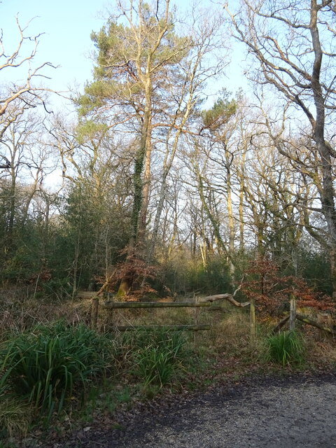
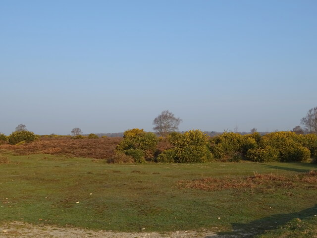
Anthony's Bee Bottom is a picturesque valley located in Hampshire, England. Nestled amidst rolling hills and lush greenery, this stunning natural beauty spot is a popular destination for nature lovers and outdoor enthusiasts alike.

The valley is named after Anthony, a local farmer who once owned and cultivated the land. Bee Bottom refers to the abundance of wildflowers and bees that can be found in the area, adding to its charm and natural allure. The valley boasts a diverse range of flora and fauna, making it a haven for wildlife enthusiasts and birdwatchers.

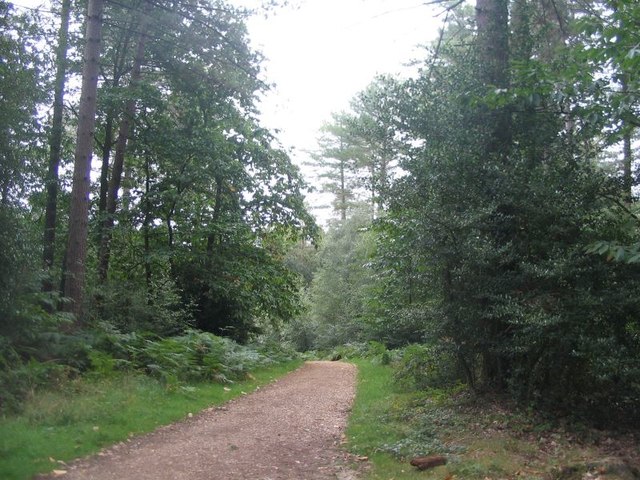
Visitors to Anthony's Bee Bottom can explore numerous walking trails and paths that wind through the valley, offering breathtaking views of the surrounding countryside. The terrain is varied, with open meadows, ancient woodlands, and babbling brooks, providing a rich tapestry of landscapes to discover.

In addition to its natural beauty, Anthony's Bee Bottom also has historical significance. The valley is dotted with remnants of ancient settlements and archaeological sites, offering a glimpse into the area's past. This adds an extra layer of fascination for history buffs and those interested in local heritage.

Throughout the year, the valley hosts various events and activities, such as guided nature walks, bird-spotting tours, and photography workshops. These opportunities allow visitors to fully immerse themselves in the beauty and tranquility of Anthony's Bee Bottom.

Overall, Anthony's Bee Bottom is a hidden gem in Hampshire, offering a captivating blend of natural beauty, wildlife, and history. Whether it's a leisurely stroll, a picnic amidst wildflowers, or an exploration of the valley's rich heritage, this idyllic location is sure to leave a lasting impression on all who visit.

If you have any feedback on the listing, please let us know in the comments section below.

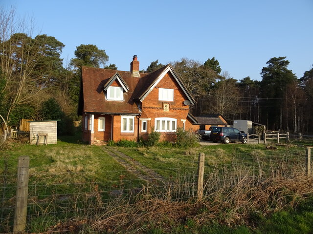
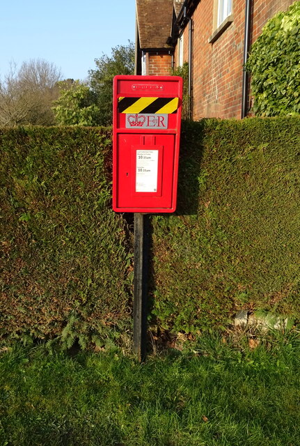
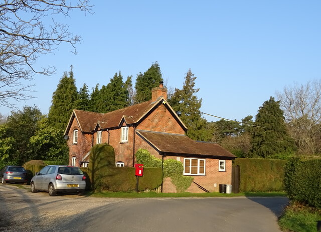
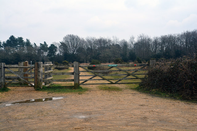
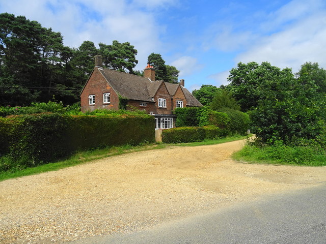
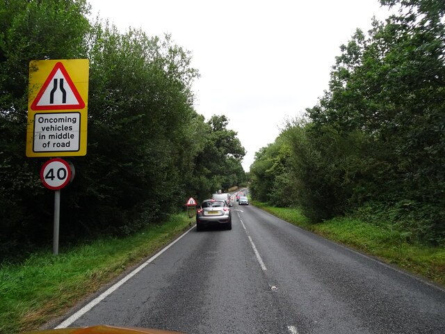
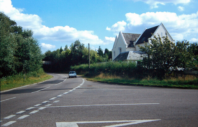
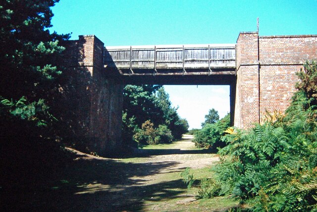
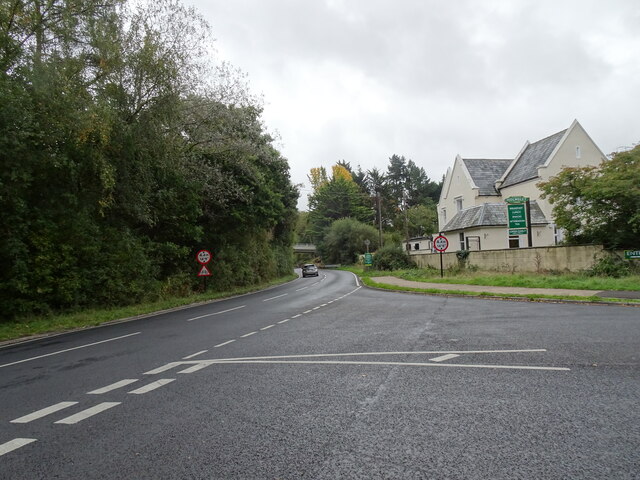
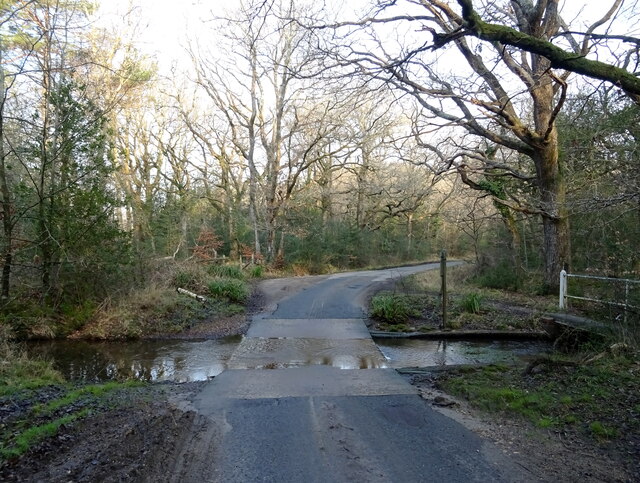
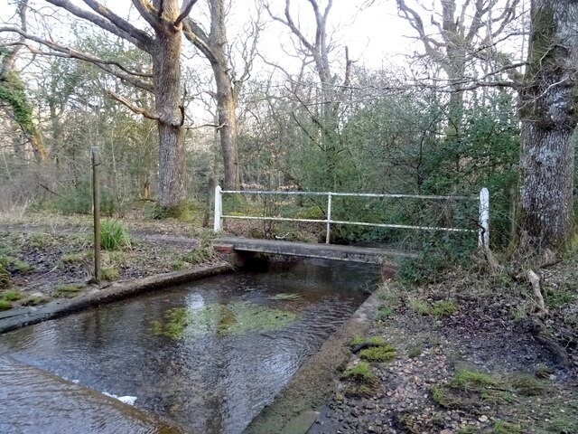
Anthony's Bee Bottom Images

Images are sourced within 2km of 50.813389/-1.6816495 or Grid Reference SU2201. Thanks to Geograph Open Source API. All images are credited.

Holmsley Toll House
Holmsley Toll House
Elizabeth II postbox on Holmsley Passage Postbox No. BH24 60.
Elizabeth II postbox on Holmsley Passage
Postbox No. BH24 60.
Cottage on Holmsley Passage Showing position of Postbox No. BH24 60.
Cottage on Holmsley Passage
Showing position of Postbox No. BH24 60.
South of Holmsley Inclosure
Path along the edge of Holmsley Inclosure
New Forest : Gate and Track A track heading off from the A35 and beyond the gate.
New Forest : Gate and Track
A track heading off from the A35 and beyond the gate.
Cottage on the edge of Holmsley Inclosure
Cycle route through Holmsley Inclosure Shortly after entering the Inclosure, the track drops down towards a stream and the junction with a minor road.
Cycle route through Holmsley Inclosure
Shortly after entering the Inclosure, the track drops down towards a stream and the junction with a minor road.
Track by Holmsley Inclosure The path following the boundary of Holmsley Inclosure dropping down towards a stream bridge crossing the Avon Water.
Track by Holmsley Inclosure
The path following the boundary of Holmsley Inclosure dropping down towards a stream bridge crossing the Avon Water.
Path towards Holmsley Inclosure Two tall pines act as a maker for the path toward Holmsley Inclosure boundary.
Path towards Holmsley Inclosure
Two tall pines act as a maker for the path toward Holmsley Inclosure boundary.
A35 View Looking along the A35 in the New Forest, Hampshire.
A35 View
Looking along the A35 in the New Forest, Hampshire.
Holmsley Station Holmsley Station was on the Brockenhurst to Wimborne line, part of 'Castleman's Corkscrew' the onetime LSWR main line from Southampton to Weymouth.  After closure in the 1960's the track became a road and the station became the Holmsley Tea Rooms.
Holmsley Station
Holmsley Station was on the Brockenhurst to Wimborne line, part of 'Castleman's Corkscrew' the onetime LSWR main line from Southampton to Weymouth. After closure in the 1960's the track became a road and the station became the Holmsley Tea Rooms.
Greenberry Bridge Greenberry Bridge spanned the old LSWR main line between Holmsley and Ringwood.  It survived the line's closure, but was demolished when it became unsafe in 1995.  The trackbed is part of the Castleman Trail, well used by walkers and riders.
Greenberry Bridge
Greenberry Bridge spanned the old LSWR main line between Holmsley and Ringwood. It survived the line's closure, but was demolished when it became unsafe in 1995. The trackbed is part of the Castleman Trail, well used by walkers and riders.
Station Road View The view towards the A35 bridge in Hampshire.
Station Road View
The view towards the A35 bridge in Hampshire.
Ford over Avon Water, Holmsley Inclosure
Footbridge over Avon Water near ford, Holmsley Inclosure
Woodland, Holmsley Inclosure
Heath, Holmsley
Heath, Holmsley
Show me another place!

Anthony's Bee Bottom is located at Grid Ref: SU2201 (Lat: 50.813389, Lng: -1.6816495)

Administrative County: Hampshire

District: New Forest

Police Authority: Hampshire

What 3 Words

///juggle.mouth.practical. Near Burley, Hampshire

Related Wikis

Holmsley railway station

Holmsley is a closed railway station in the county of Hampshire which served rural settlements in the New Forest. == History == The station was opened...

Burley, Hampshire

Burley is a village and civil parish in the New Forest, Hampshire, England. It has ancient origins and is now somewhat tourist-orientated. == The village... ==

RAF Holmsley South

Royal Air Force Holmsley South or more simply RAF Holmsley South is a former Royal Air Force station in Hampshire, England. The airfield is located approximately...

All Saints' Church, Thorney Hill

All Saints' Church is a Church of England church in Thorney Hill, Hampshire, England. It was built in 1905–06 and has been a Grade I listed building since...

Castle Hill, Hampshire

Castle Hill is the site of an Iron Age univallate hillfort located in the civil parish of Burley in the New Forest national park in Hampshire, England...

New Forest West (UK Parliament constituency)

New Forest West is a constituency represented in the House of Commons of the UK Parliament since 1997 by Desmond Swayne, a Conservative. == Constituency... ==

Wootton, New Forest

Wootton is a hamlet in the civil parish of New Milton in Hampshire, England. It is in the south of the New Forest. == Overview == Wootton is just north...

Ossemsley

Ossemsley is an extended hamlet in the New Forest National Park of Hampshire, England. It lies close to the village of Bashley. The nearest town is New...

Nearby Amenities

Located within 500m of 50.813389,-1.6816495
Goatspen Plain
Place: locality
Lat/Long: 50.8143163/-1.6797688
Power: pole
Source: bing
Lat/Long: 50.8158309/-1.6873066
Power: pole
Source: bing
Lat/Long: 50.8154454/-1.6866682
Power: pole
Source: bing
Lat/Long: 50.8150497/-1.6860393
Power: pole
Source: bing
Lat/Long: 50.8144014/-1.6850187
Power: pole
Source: bing
Lat/Long: 50.8137041/-1.6838707
Power: pole
Source: bing
Lat/Long: 50.813216/-1.6830781
Power: pole
Source: bing
Lat/Long: 50.812744/-1.6823177
Power: pole
Source: bing
Lat/Long: 50.8122576/-1.6815399
Power: pole
Source: bing
Lat/Long: 50.8118339/-1.6808318
Power: pole
Source: bing
Lat/Long: 50.8114415/-1.6801988
Power: pole
Source: bing
Lat/Long: 50.8109526/-1.6794008
Power: pole
Source: bing
Lat/Long: 50.8103661/-1.6784312
Power: pole
Source: bing
Lat/Long: 50.8099314/-1.6777539
The data included in this document is from www.openstreetmap.org. The data is made available under ODbL.

Have you been to Anthony's Bee Bottom?

Leave your review of Anthony's Bee Bottom below (or comments, questions and feedback).