Oaken Clough

Valley in Yorkshire

England

Oaken Clough

Old Boundary Marker on Candlerush Edge, Bleaklow Estate Boundary Marker on Candlerush Edge, Bleaklow, 2100 metres east-northeast of Margery Hill. Bradfield parish. R R W refers to R R Wilson, the owner of the Broomhead Estate at the end of the 19C.

Milestone Society National ID: YW_BRA45em
Old Boundary Marker on Candlerush Edge, Bleaklow Credit: D Garside

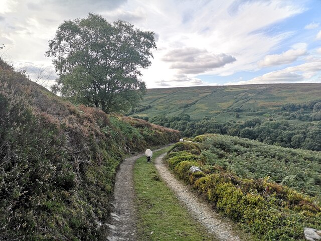
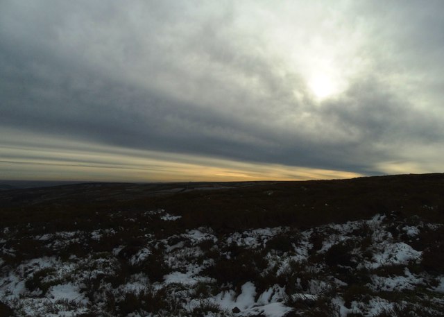
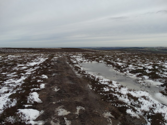
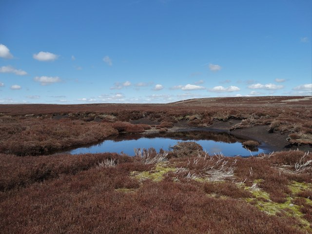
Oaken Clough is a picturesque valley located in Yorkshire, England. Nestled within the stunning Pennine Hills, this idyllic setting is known for its natural beauty and tranquility. The valley stretches approximately 5 miles in length and is surrounded by lush green hillsides, dense woodlands, and meandering streams.

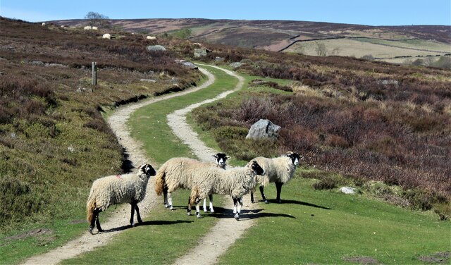
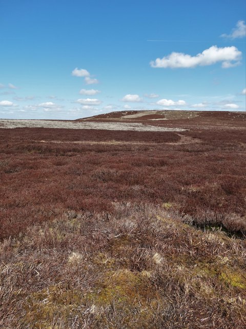
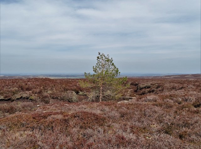
One of the prominent features of Oaken Clough is its rich biodiversity. The valley is home to a wide range of flora and fauna, including various species of birds, mammals, and plant life. Visitors can often spot deer, foxes, and rabbits roaming freely in the area. The diverse array of plants includes bluebells, ferns, and oak trees, giving the valley its name.

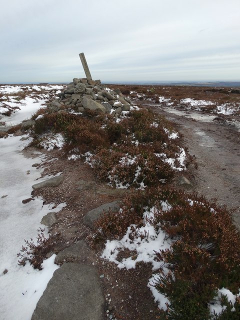
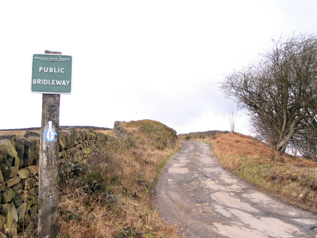
The valley also offers numerous walking and hiking trails, making it a popular destination for outdoor enthusiasts. The paths meander through the valley, offering breathtaking views of the surrounding hills and valleys. The peaceful atmosphere and stunning scenery make it an ideal place for nature lovers and those seeking a break from the hustle and bustle of city life.

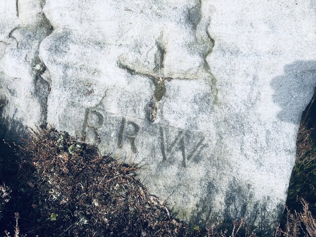
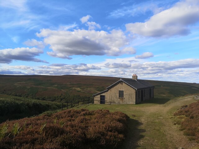
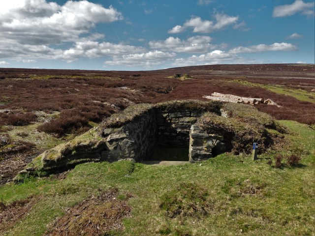
In addition to its natural beauty, Oaken Clough has a rich history. The valley was once home to small cottages and farms, which can still be seen today. The remnants of old stone walls and farm buildings serve as reminders of the area's agricultural past.

Overall, Oaken Clough is a hidden gem in the heart of Yorkshire, offering visitors a chance to immerse themselves in nature and history. Its untouched beauty and serene atmosphere make it a must-visit destination for anyone seeking a truly tranquil experience.

If you have any feedback on the listing, please let us know in the comments section below.

Oaken Clough Images

Images are sourced within 2km of 53.453762/-1.6777639 or Grid Reference SK2195. Thanks to Geograph Open Source API. All images are credited.

Old Boundary Marker on Candlerush Edge, Bleaklow Estate Boundary Marker on Candlerush Edge, Bleaklow, 2100 metres east-northeast of Margery Hill. Bradfield parish. R R W refers to R R Wilson, the owner of the Broomhead Estate at the end of the 19C.

Milestone Society National ID: YW_BRA45em
Old Boundary Marker on Candlerush Edge, Bleaklow
Estate Boundary Marker on Candlerush Edge, Bleaklow, 2100 metres east-northeast of Margery Hill. Bradfield parish. R R W refers to R R Wilson, the owner of the Broomhead Estate at the end of the 19C. Milestone Society National ID: YW_BRA45em
Sheep on the path!
Sheep on the path!
Track to Shooting Lodge On Broomhead Moor. Ewden Beck is in the valley.
Track to Shooting Lodge
On Broomhead Moor. Ewden Beck is in the valley.
Shooting Lodge on Broomhead Moor
November sky over Flint Hill, Broomhead Moor
Dukes Road on Flint Hill Here the track bends eastwards towards Mortimer Road.
Dukes Road on Flint Hill
Here the track bends eastwards towards Mortimer Road.
Cairn by Dukes Road, east of Brusten Croft Ridge
At the "fords" east of Round Hill Here the moorland water drains eastwards towards Agden Dike which drains into Dale Dike and then into the River Loxley.
At the "fords" east of Round Hill
Here the moorland water drains eastwards towards Agden Dike which drains into Dale Dike and then into the River Loxley.
Frozen Moorland Pool - north of Cartledge Flat
Moorland at Candlerush Looking north to Pike Lowe
Moorland at Candlerush
Looking north to Pike Lowe
Moorland pool on White Carr Moss Looking in a north westerly direction towards Pike Lowe.
Moorland pool on White Carr Moss
Looking in a north westerly direction towards Pike Lowe.
Grouse butt near Brown Edge
Track to the north of Broomhead Moor It leads to a remote shooting cabin.
Track to the north of Broomhead Moor
It leads to a remote shooting cabin.
Remote shooting lodge on Broomhead Moor
Shooting lodge on Broomhead Moor
Footbridge crossing Oaken Clough
Grouse butt number 12, Oaken Clough On Broomhead Moor
Grouse butt number 12, Oaken Clough
On Broomhead Moor
Random spruce tree on Middle Moss West of Oaken Clough, Broomhead Moor
Random spruce tree on Middle Moss
West of Oaken Clough, Broomhead Moor
Show me another place!

Oaken Clough is located at Grid Ref: SK2195 (Lat: 53.453762, Lng: -1.6777639)

Division: West Riding

Unitary Authority: Sheffield

Police Authority: South Yorkshire

What 3 Words

///lurching.gain.ranted. Near Stocksbridge, South Yorkshire

Related Wikis

Margery Hill

Margery Hill is a 546-metre (1,791 ft) hill on the Howden Moors in South Yorkshire, England. It lies towards the northern boundary of the Peak District...

High Stones

High Stones, at 548 metres (1,798 ft), is the highest point within the boundaries of both the City of Sheffield and South Yorkshire, England.High Stones...

Wigtwizzle

Wigtwizzle is a hamlet in the civil parish of Bradfield, in South Yorkshire, England. The hamlet is 6 miles (9.7 km) south of Penistone, and 12 miles...

Howden Edge

Howden Edge (grid reference SK187943) is a peak in the north-east of the Upper Derwent Valley area of the Peak District National Park in England. At 545...

Nearby Amenities

Located within 500m of 53.453762,-1.6777639
Brusten Croft
Place: locality
Lat/Long: 53.4530301/-1.6709147
Oaken Clough
Place: locality
Lat/Long: 53.4527412/-1.6799067
Ford: yes
Lat/Long: 53.4541465/-1.678118
Hunting Stand
Hunting Stand: grouse_butt
Lat/Long: 53.4520991/-1.6814207
Hunting Stand
Hunting Stand: grouse_butt
Lat/Long: 53.453317/-1.6797588
Hunting Stand
Hunting Stand: grouse_butt
Lat/Long: 53.4516808/-1.6820447
Hunting Stand
Hunting Stand: grouse_butt
Lat/Long: 53.4529534/-1.6802359
Hunting Stand
Hunting Stand: grouse_butt
Lat/Long: 53.4512802/-1.6826081
Hunting Stand
Hunting Stand: grouse_butt
Lat/Long: 53.4525426/-1.6807984
Hunting Stand
Hunting Stand: grouse_butt
Lat/Long: 53.4508548/-1.6832269
Natural: stone
Lat/Long: 53.4549279/-1.6742021
The data included in this document is from www.openstreetmap.org. The data is made available under ODbL.

Have you been to Oaken Clough?

Leave your review of Oaken Clough below (or comments, questions and feedback).