Fawside Dene

Valley in Durham

England

Fawside Dene

View east from Newacres Road Looking east from near Wheatley Hill. Great views from here at about 800 feet. Although it's a long way away, the sea off Sunderland is visible in clear conditions like this.
View east from Newacres Road Credit: Robert Graham

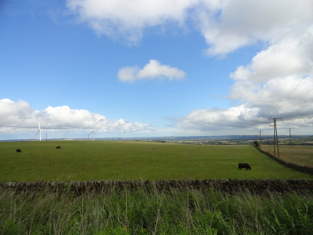
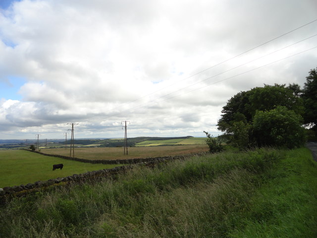
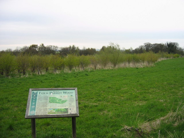
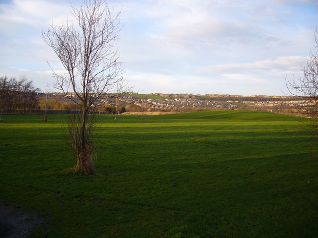
Fawside Dene, located in Durham, is a picturesque valley renowned for its natural beauty and tranquil atmosphere. Situated on the outskirts of the city, the dene covers an area of approximately 25 hectares and is a popular destination for both locals and visitors alike.

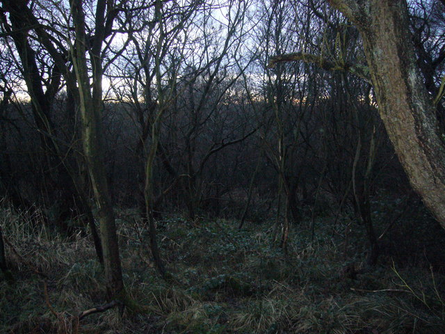
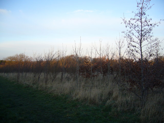
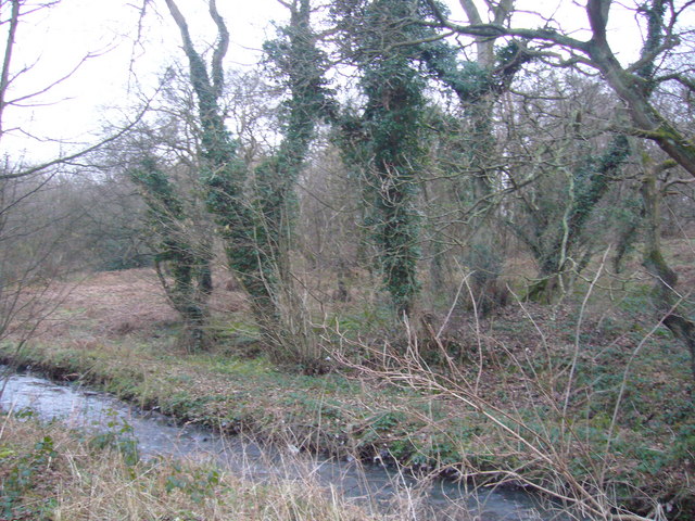
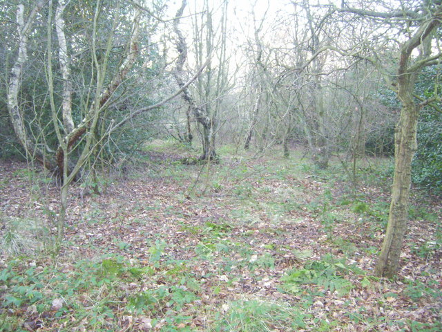
The dene is characterized by its rolling hills, dense woodlands, and a meandering stream that runs through the valley floor. The stream, known as Fawside Burn, adds to the charm of the area with its crystal-clear waters and small cascades. The surrounding woodlands are predominantly composed of native tree species such as oak, ash, and birch, providing a rich habitat for various bird species and woodland creatures.

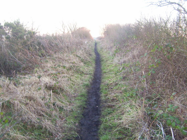
A network of well-maintained footpaths allows visitors to explore the dene and discover its hidden gems. The paths wind through the woodlands, offering stunning views of the valley and its diverse flora and fauna. Along the way, visitors may encounter wildflowers, such as bluebells and primroses, adding splashes of color to the landscape during the spring months.

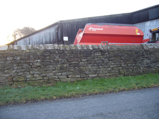
Fawside Dene also has historical significance, with remnants of an old quarry visible in certain areas. This quarry was once used for the extraction of limestone, which was then transported to nearby towns for construction purposes.

Overall, Fawside Dene is a natural haven, providing a tranquil escape from the hustle and bustle of city life. Its breathtaking scenery, diverse wildlife, and rich history make it a must-visit destination for nature enthusiasts and those seeking a peaceful retreat.

If you have any feedback on the listing, please let us know in the comments section below.

Fawside Dene Images

Images are sourced within 2km of 54.845183/-1.66725 or Grid Reference NZ2150. Thanks to Geograph Open Source API. All images are credited.

View east from Newacres Road Looking east from near Wheatley Hill. Great views from here at about 800 feet. Although it's a long way away, the sea off Sunderland is visible in clear conditions like this.
View east from Newacres Road
Looking east from near Wheatley Hill. Great views from here at about 800 feet. Although it's a long way away, the sea off Sunderland is visible in clear conditions like this.
View from Newacres Road Looking SE from a point on the road near Wheatley Hill across the fields. Sacriston woods are on the horizon to the left of centre. Good views along this section which is about 800 ft elevation.
View from Newacres Road
Looking SE from a point on the road near Wheatley Hill across the fields. Sacriston woods are on the horizon to the left of centre. Good views along this section which is about 800 ft elevation.
Craghead Windmills Wind Farm on Wagtail Lane, above Craghead
Craghead Windmills
Wind Farm on Wagtail Lane, above Craghead
Craghead
Craghead
Fox and Parrot Wood Nature Reserve This nature reserve is owned by the Woodland Trust
Fox and Parrot Wood Nature Reserve
This nature reserve is owned by the Woodland Trust
Beechgrove Terrace, Blackhouse
Sculpture of miner Craghead near Stanley
Seat at Craghead County Durham
Wind turbines, Wagtail Lane Approaching wind turbines by car, on Wagtail Lane
Wind turbines, Wagtail Lane
Approaching wind turbines by car, on Wagtail Lane
Sewage treatment works Works recently overhauled and improved
Sewage treatment works
Works recently overhauled and improved
Stanley Wood A designated nature reserve
Stanley Wood
A designated nature reserve
Entrance gates to sewage treatment works
Craghead Millennium Green
Beech Grove Farm
Beech Grove Farm
Fox and Parrot Wood, Woodland Trust
Stanley Burn
Stanley Burn
Ousterley Wood
Ousterley Wood
West Ousterley Road
West Ousterley Road
Show me another place!

Fawside Dene is located at Grid Ref: NZ2150 (Lat: 54.845183, Lng: -1.66725)

Unitary Authority: County Durham

Police Authority: Durham

What 3 Words

///ogre.owners.rents. Near Stanley, Co. Durham

Nearby Locations

Fawside Dene Craghead

Related Wikis

Craghead

Craghead is a village and former civil parish, now in the parish of Stanley, in the County Durham district, in the ceremonial county of Durham, England...

The Middles

The Middles is a village in County Durham, in England. It is situated between Stanley and Craghead. == References ==

Holmside Hall

Holmside Hall is an early 19th-century farmhouse and equestrian centre at Holmside, Burnhope, County Durham, England. The farm is built on the site of...

Holmside

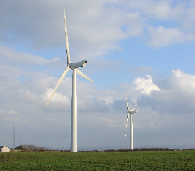
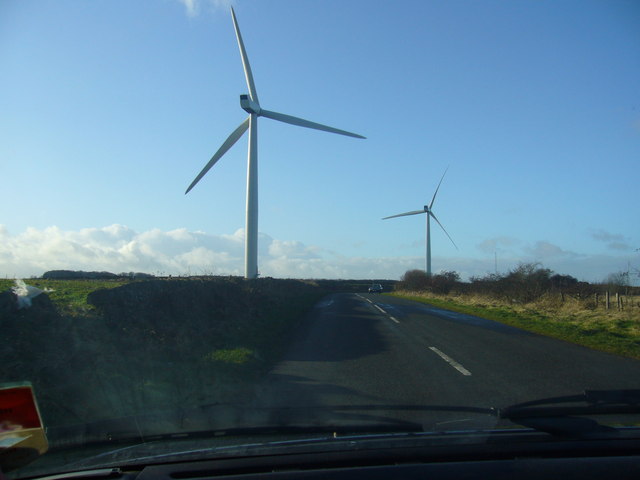
Holmside is a village in County Durham, in England. It is situated to the north-west of Sacriston. The village has a 5.5 MW wind farm, Holmside Hall Wind...

Nearby Amenities

Located within 500m of 54.845183,-1.66725
Power: pole
Lat/Long: 54.8466652/-1.6744407
Power: pole
Lat/Long: 54.8470798/-1.6729192
Power: pole
Lat/Long: 54.8489287/-1.6689201
Power: pole
Lat/Long: 54.8488832/-1.668959
Power: pole
Lat/Long: 54.8488214/-1.6677184
Power: pole
Lat/Long: 54.848772/-1.6665557
Power: pole
Transformer: distribution
Lat/Long: 54.848704/-1.6653192
Power: pole
Lat/Long: 54.8485975/-1.6626826
Marker: post
Utility: gas
Lat/Long: 54.8473049/-1.6610853
Marker: post
Utility: gas
Lat/Long: 54.8472153/-1.6611511
The data included in this document is from www.openstreetmap.org. The data is made available under ODbL.

Have you been to Fawside Dene?

Leave your review of Fawside Dene below (or comments, questions and feedback).