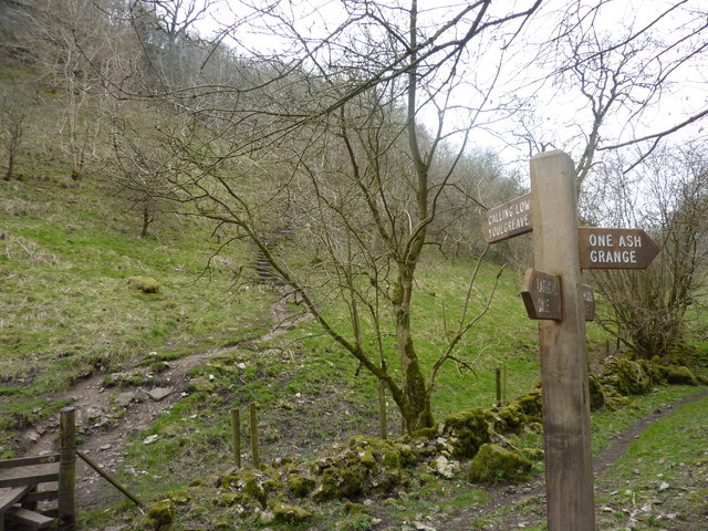
Calling Low Dale
Valley in Derbyshire Derbyshire Dales
England
Calling Low Dale

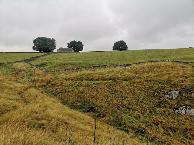
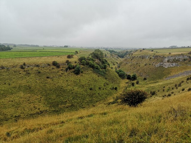
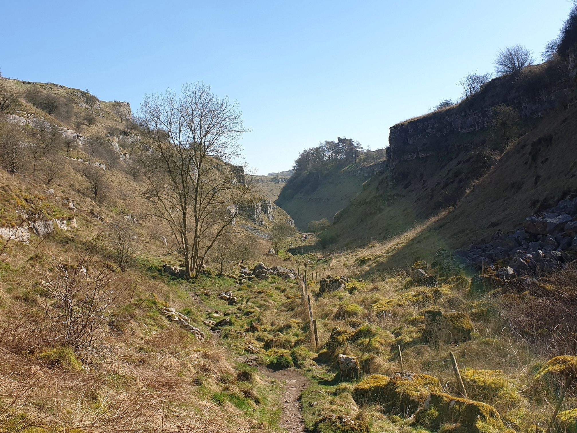
Calling Low Dale is a picturesque valley located in the Derbyshire Dales district of Derbyshire, England. The valley is situated in the southern part of the Peak District National Park, renowned for its stunning natural beauty and diverse wildlife. Calling Low Dale stretches for approximately 2 miles, bordered by rolling hills and lush green meadows.
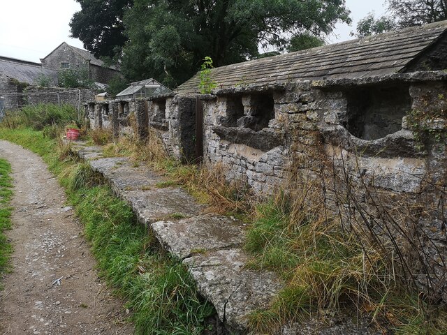
The valley is characterized by its tranquil atmosphere and idyllic scenery. It is home to a small hamlet of the same name, consisting of a handful of charming cottages nestled among the trees. The surrounding landscape is dotted with traditional dry stone walls, adding to the rural charm of the area.
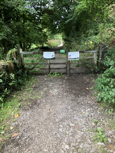
Visitors to Calling Low Dale can enjoy a variety of outdoor activities. The valley offers numerous walking trails, ranging from easy strolls to more challenging hikes, providing breathtaking views of the surrounding countryside. Wildlife enthusiasts will also find plenty to explore, as the valley is home to a rich array of flora and fauna, including rare bird species and wildflowers.
The area surrounding Calling Low Dale is steeped in history, with several archaeological sites and ancient ruins nearby. The valley itself has a quiet and unspoiled ambiance, making it a perfect retreat for those seeking tranquility and a connection with nature.
In summary, Calling Low Dale is a serene and picturesque valley nestled in the heart of the Derbyshire Dales. With its stunning natural beauty, diverse wildlife, and rich history, it is a haven for outdoor enthusiasts and those seeking a peaceful escape in the heart of the British countryside.
If you have any feedback on the listing, please let us know in the comments section below.
Calling Low Dale Images
Images are sourced within 2km of 53.186369/-1.7262215 or Grid Reference SK1865. Thanks to Geograph Open Source API. All images are credited.


Calling Low Dale is located at Grid Ref: SK1865 (Lat: 53.186369, Lng: -1.7262215)
Administrative County: Derbyshire
District: Derbyshire Dales
Police Authority: Derbyshire
What 3 Words
///artist.messaging.talent. Near Youlgreave, Derbyshire
Nearby Locations
Related Wikis

Limey Way
The Limey Way is a 65-kilometre (40 mi) challenge walk through Derbyshire, England. It starts at Castleton and progresses through 15 major and 5 minor...
Cales Dale
Cales Dale is a short valley towards the head of Lathkill Dale near Monyash, Derbyshire in the Peak District of England. Cales Dale is included within...

Conksbury
Conksbury is the site of a deserted medieval settlement between Over Haddon and Youlgreave in Derbyshire, England. == History == The village was recorded...

St Anne's Church, Over Haddon
St Anne's Church, Over Haddon is a Grade II listed parish church in the Church of England in Over Haddon, Derbyshire. == History == The church was built...

Over Haddon
Over Haddon is a small village and civil parish in Derbyshire, England. The population of the civil parish (including Nether Haddon) at the 2011 Census...
Lathkill Dale
Lathkill Dale is the valley of the River Lathkill near Bakewell, Derbyshire in the Peak District of England. The river emerges into the dale from springs...

Middleton-by-Youlgreave
Middleton, often known as Middleton-by-Youlgreave or Middleton-by-Youlgrave to distinguish it from nearby Middleton-by-Wirksworth, is a village in the...

Youlgreave
Youlgreave or Youlgrave is a village and civil parish in the Peak District of Derbyshire, England, on the River Bradford 2+1⁄2 miles (4.0 km) south of...
Nearby Amenities
Located within 500m of 53.186369,-1.7262215Have you been to Calling Low Dale?
Leave your review of Calling Low Dale below (or comments, questions and feedback).