Cales Dale
Valley in Derbyshire Derbyshire Dales
England
Cales Dale

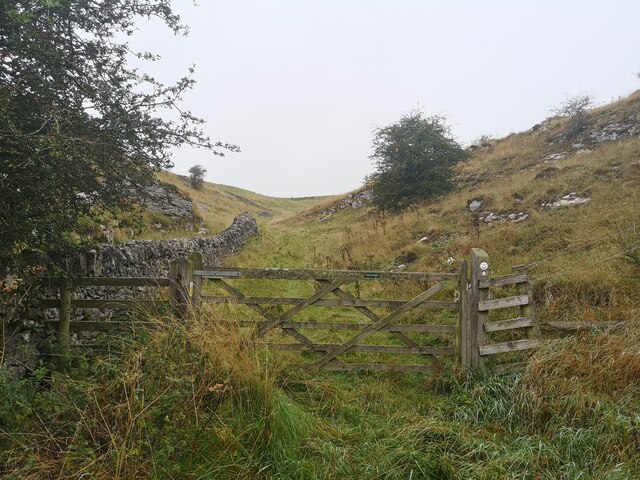
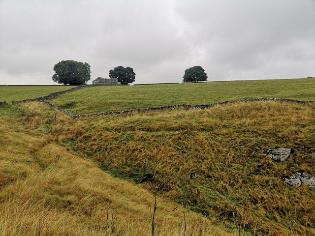
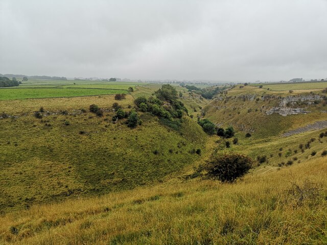
Cales Dale is a picturesque valley located in the heart of Derbyshire, England. Nestled within the stunning Peak District National Park, this hidden gem offers visitors a tranquil and idyllic escape from the hustle and bustle of everyday life.
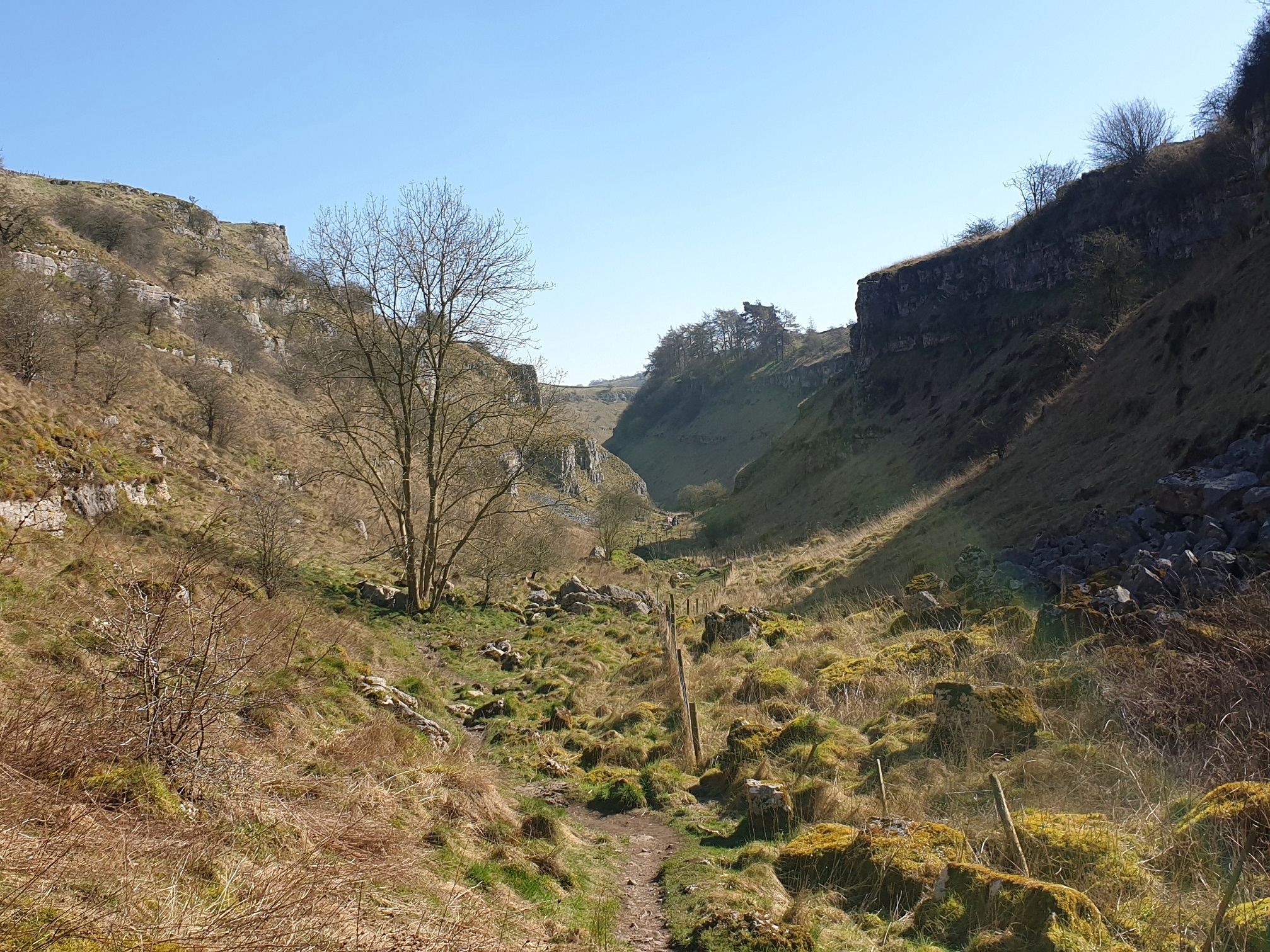
Surrounded by rolling hills and lush greenery, Cales Dale is renowned for its breathtaking natural beauty. The valley is carved by the crystal-clear waters of the River Derwent, which meander through the landscape, adding to its charm. The river is flanked by towering limestone cliffs, creating a dramatic and awe-inspiring backdrop.
Visitors to Cales Dale can enjoy a variety of outdoor activities, making it a popular destination for hikers, nature enthusiasts, and birdwatchers. The valley is home to a diverse range of flora and fauna, including rare species of wildflowers, birds, and butterflies. Exploring the well-maintained trails that wind through the valley provides an opportunity to immerse oneself in nature's wonders.
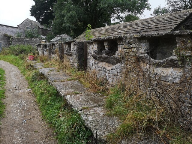
In addition to its natural beauty, Cales Dale also boasts a rich history. The valley is dotted with remnants of its industrial past, including ancient lead mines and mill ruins. These historical sites provide a glimpse into the area's fascinating past and offer a unique insight into Derbyshire's heritage.
Cales Dale is a haven for those seeking peace and tranquility in a breathtaking natural setting. Whether you choose to hike along its winding trails, admire its stunning views, or simply relax by the riverbank, this hidden valley is sure to captivate and enchant all who visit.
If you have any feedback on the listing, please let us know in the comments section below.
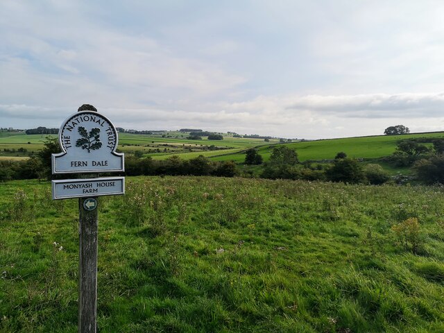
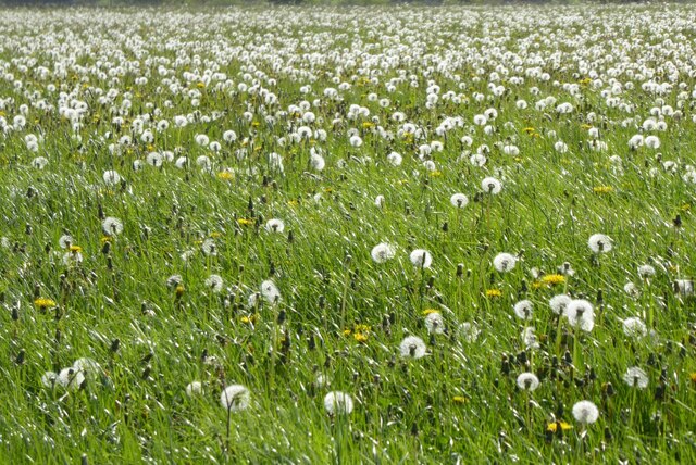
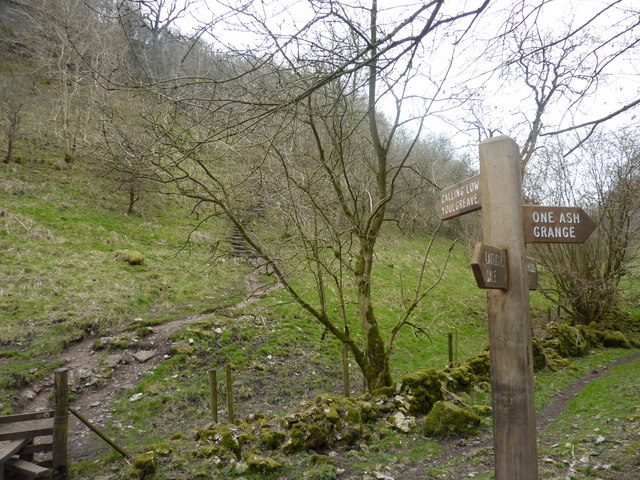
Cales Dale Images
Images are sourced within 2km of 53.179994/-1.7454592 or Grid Reference SK1764. Thanks to Geograph Open Source API. All images are credited.


Cales Dale is located at Grid Ref: SK1764 (Lat: 53.179994, Lng: -1.7454592)
Administrative County: Derbyshire
District: Derbyshire Dales
Police Authority: Derbyshire
What 3 Words
///shrimp.mascots.education. Near Youlgreave, Derbyshire
Nearby Locations
Related Wikis
Cales Dale
Cales Dale is a short valley towards the head of Lathkill Dale near Monyash, Derbyshire in the Peak District of England. Cales Dale is included within...

Limey Way
The Limey Way is a 65-kilometre (40 mi) challenge walk through Derbyshire, England. It starts at Castleton and progresses through 15 major and 5 minor...
Lathkill Dale
Lathkill Dale is the valley of the River Lathkill near Bakewell, Derbyshire in the Peak District of England. The river emerges into the dale from springs...

Arbor Low
Arbor Low is a well-preserved Neolithic henge in the Derbyshire Peak District, England. It lies on a Carboniferous Limestone plateau known as the White...

Gib Hill
Gib Hill is a large burial mound in the Peak District, Derbyshire, England. It is thought to be a Neolithic oval barrow with an Early Bronze Age round...

Middleton and Smerrill
Middleton and Smerrill is a civil parish within the Derbyshire Dales district, in the county of Derbyshire, England. Largely rural except for the village...

Newhaven Tunnel
Newhaven Tunnel was a railway tunnel located on the Cromford and High Peak Railway near the village of Newhaven in Derbyshire. Mostly used for moving mineral...

Parsley Hay railway station
Parsley Hay railway station served Parsley Hay, a hamlet within Hartington Middle Quarter civil parish, about 9.3 miles (15 km) south east of Buxton, Derbyshire...
Nearby Amenities
Located within 500m of 53.179994,-1.7454592Have you been to Cales Dale?
Leave your review of Cales Dale below (or comments, questions and feedback).