Jaggers Clough
Valley in Derbyshire High Peak
England
Jaggers Clough

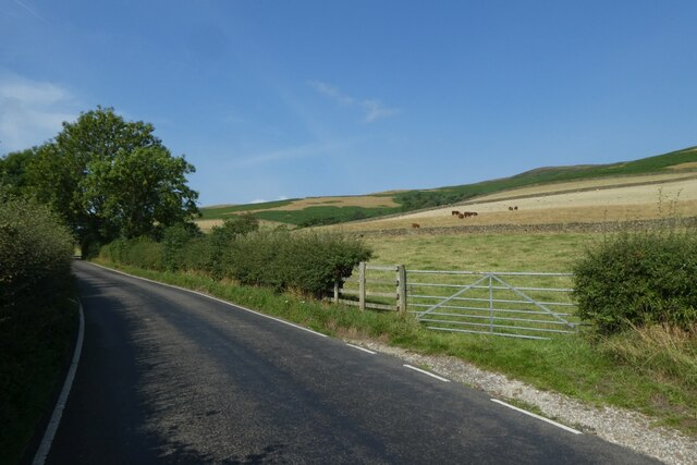
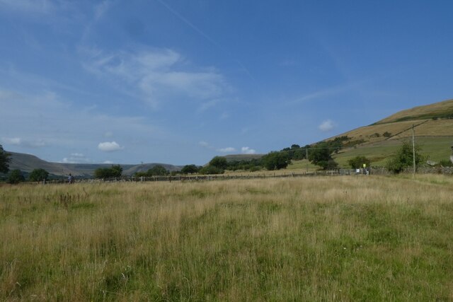
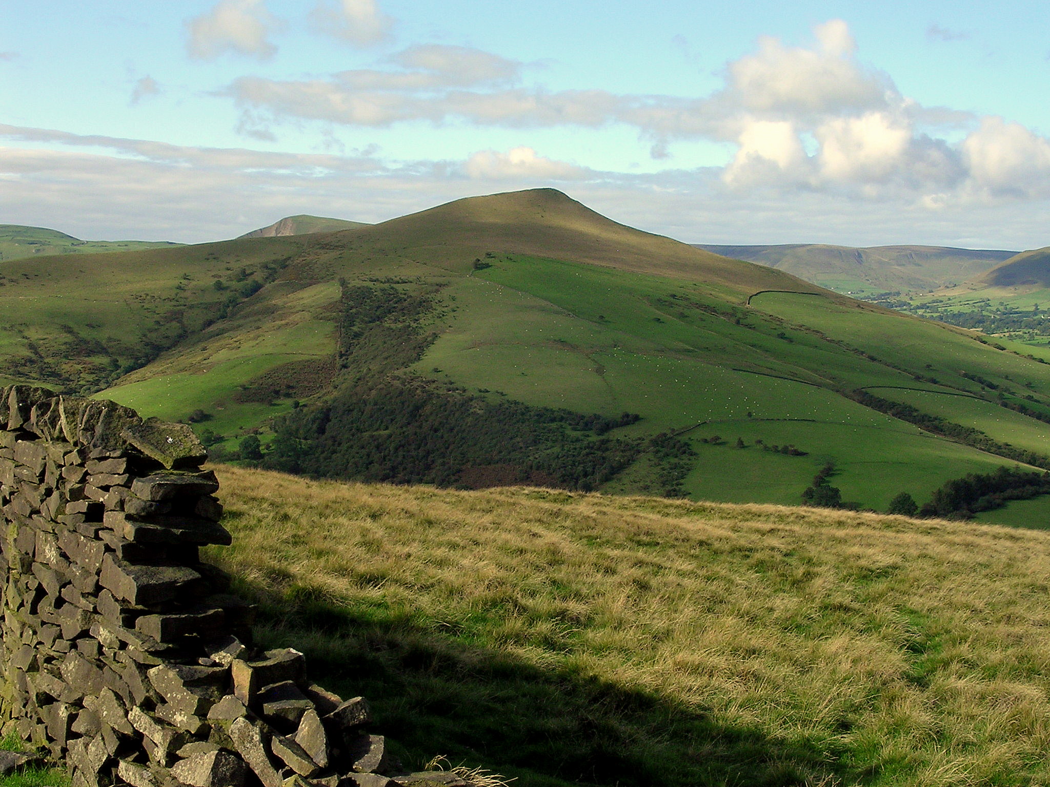
Jaggers Clough is a picturesque valley located in the scenic county of Derbyshire, England. Situated within the Peak District National Park, this stunning natural landscape offers breathtaking views, diverse wildlife, and a peaceful escape from the hustle and bustle of city life.
The valley is characterized by its deep and narrow gorge, which has been formed over thousands of years by the Jaggers Clough stream. Lush greenery surrounds the clough, with dense woodland covering the steep slopes. The area is known for its rich biodiversity, providing a habitat for a variety of plant and animal species, including rare birds, foxes, and deer.
A network of walking trails allows visitors to explore the beauty of Jaggers Clough. The paths wind their way through the valley, providing opportunities to admire the cascading waterfalls, ancient rock formations, and moss-covered cliffs. As visitors trek through the valley, they may catch glimpses of historic landmarks such as the remnants of an old lead mine, which once played a significant role in the region's industrial heritage.
Jaggers Clough offers a range of recreational activities for outdoor enthusiasts. Hiking and trail running are popular choices, with varying routes available for different skill levels. The valley also attracts climbers, who can test their skills on the challenging rock faces. Additionally, the stream is ideal for fishing, providing anglers with the chance to catch trout in a tranquil setting.
Overall, Jaggers Clough is a hidden gem in Derbyshire, offering a serene and awe-inspiring natural environment that captivates visitors with its beauty and tranquility.
If you have any feedback on the listing, please let us know in the comments section below.
Jaggers Clough Images
Images are sourced within 2km of 53.381147/-1.7641212 or Grid Reference SK1587. Thanks to Geograph Open Source API. All images are credited.


Jaggers Clough is located at Grid Ref: SK1587 (Lat: 53.381147, Lng: -1.7641212)
Administrative County: Derbyshire
District: High Peak
Police Authority: Derbyshire
What 3 Words
///happier.shudders.classic. Near Hope Valley, Derbyshire
Nearby Locations
Related Wikis
Lose Hill
Lose Hill lies in the Derbyshire Peak District. It is the south-east corner of the parish of Edale and the end of the Great Ridge that runs from Rushup...
Crook Hill
Crook Hill is a small hill in the Peak District National Park in the English county of Derbyshire, 5 kilometres (3.1 mi) northeast of Castleton. ��2�...

Hope Woodlands
Hope Woodlands is an extensive civil parish in the High Peak district of Derbyshire in England. The parish covers the Woodlands Valley, the western Upper...

Derwent Woodlands War Memorial
Derwent Woodlands War Memorial is a 20th-century grade II listed war memorial near the Ladybower Reservoir, Derbyshire. == History == The war memorial...

River Alport
The River Alport flows for 5.6 miles (9 km) in the Dark Peak of the Peak District in Derbyshire, England. Its source is on Bleaklow, 3 miles (4.8 km)...

Derwent, Derbyshire
Derwent was a village 'drowned' in 1944 when the Ladybower Reservoir in Derbyshire, England was created. The village of Ashopton, Derwent Woodlands church...

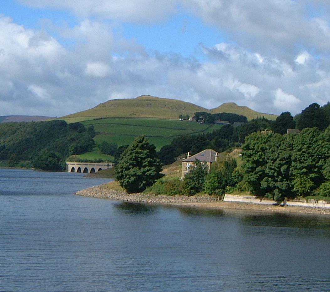
Ladybower Reservoir
Ladybower Reservoir is a large Y-shaped, artificial reservoir, the lowest of three in the Upper Derwent Valley in Derbyshire, England. The River Ashop...

Dark Peak
The Dark Peak is the higher and wilder part of the Peak District in England, mostly forming the northern section but also extending south into its eastern...
Nearby Amenities
Located within 500m of 53.381147,-1.7641212Have you been to Jaggers Clough?
Leave your review of Jaggers Clough below (or comments, questions and feedback).