Backside Wood
Wood, Forest in Derbyshire High Peak
England
Backside Wood

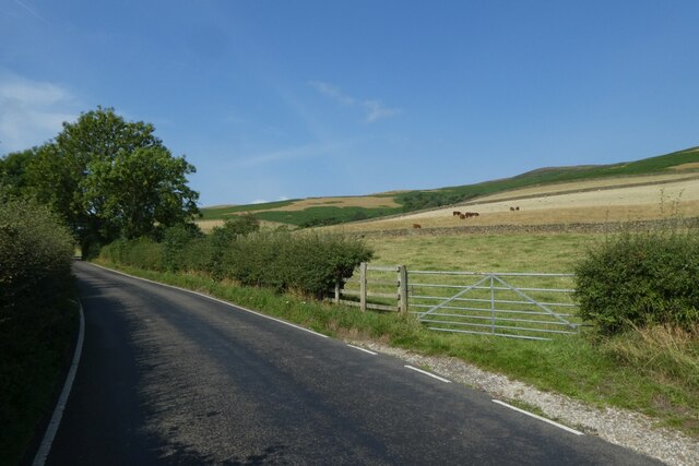
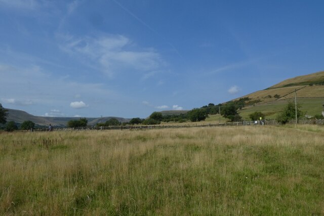
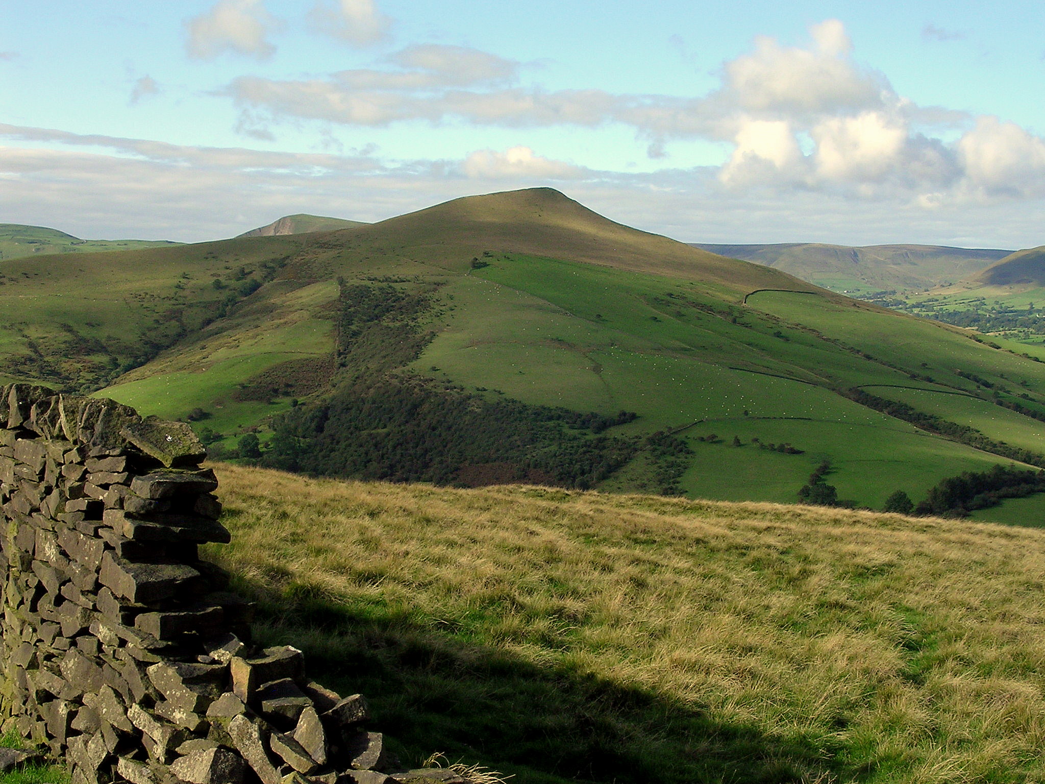
Backside Wood is a picturesque forest located in Derbyshire, England. Covering an area of approximately 100 acres, this enchanting woodland is nestled in the heart of the Peak District National Park. Backside Wood is characterized by its diverse ecosystem, comprising a mixture of deciduous and coniferous trees, including oak, beech, pine, and birch.
The wood is a haven for wildlife, providing a habitat for a wide range of species. Bird enthusiasts will delight in the opportunity to spot various feathered friends, such as woodpeckers, owls, and warblers. Small mammals like foxes, badgers, and squirrels can also be observed scurrying among the trees, adding to the woodland's charm.
Visitors to Backside Wood can explore the many walking trails that wind through the forest, offering stunning views of the surrounding countryside. The paths are well-maintained and suitable for all ages and abilities, making it an ideal destination for families and nature lovers alike.
For those seeking a peaceful retreat, Backside Wood provides several secluded picnic areas where visitors can relax and enjoy the tranquility of their surroundings. Camping is not permitted within the forest; however, there are nearby campsites and accommodations available for those wishing to extend their stay.
With its breathtaking scenery, abundant wildlife, and serene atmosphere, Backside Wood offers a truly immersive experience in nature. Whether it's a leisurely stroll, a birdwatching excursion, or simply a moment of quiet contemplation, this woodland gem promises a memorable visit for all who venture into its leafy embrace.
If you have any feedback on the listing, please let us know in the comments section below.
Backside Wood Images
Images are sourced within 2km of 53.381142/-1.7663161 or Grid Reference SK1587. Thanks to Geograph Open Source API. All images are credited.


Backside Wood is located at Grid Ref: SK1587 (Lat: 53.381142, Lng: -1.7663161)
Administrative County: Derbyshire
District: High Peak
Police Authority: Derbyshire
What 3 Words
///outdone.lurching.voltage. Near Hope Valley, Derbyshire
Nearby Locations
Related Wikis
Lose Hill
Lose Hill lies in the Derbyshire Peak District. It is the south-east corner of the parish of Edale and the end of the Great Ridge that runs from Rushup...

Hope Woodlands
Hope Woodlands is an extensive civil parish in the High Peak district of Derbyshire in England. The parish covers the Woodlands Valley, the western Upper...
Crook Hill
Crook Hill is a small hill in the Peak District National Park in the English county of Derbyshire, 5 kilometres (3.1 mi) northeast of Castleton. ��2�...

River Alport
The River Alport flows for 5.6 miles (9 km) in the Dark Peak of the Peak District in Derbyshire, England. Its source is on Bleaklow, 3 miles (4.8 km)...

Derwent Woodlands War Memorial
Derwent Woodlands War Memorial is a 20th-century grade II listed war memorial near the Ladybower Reservoir, Derbyshire. == History == The war memorial...

Dark Peak
The Dark Peak is the higher and wilder part of the Peak District in England, mostly forming the northern section but also extending south into its eastern...

Derwent, Derbyshire
Derwent was a village 'drowned' in 1944 when the Ladybower Reservoir in Derbyshire, England was created. The village of Ashopton, Derwent Woodlands church...

Ladybower Reservoir
Ladybower Reservoir is a large Y-shaped, artificial reservoir, the lowest of three in the Upper Derwent Valley in Derbyshire, England. The River Ashop...
Nearby Amenities
Located within 500m of 53.381142,-1.7663161Have you been to Backside Wood?
Leave your review of Backside Wood below (or comments, questions and feedback).