Blackley Clough
Valley in Derbyshire High Peak
England
Blackley Clough

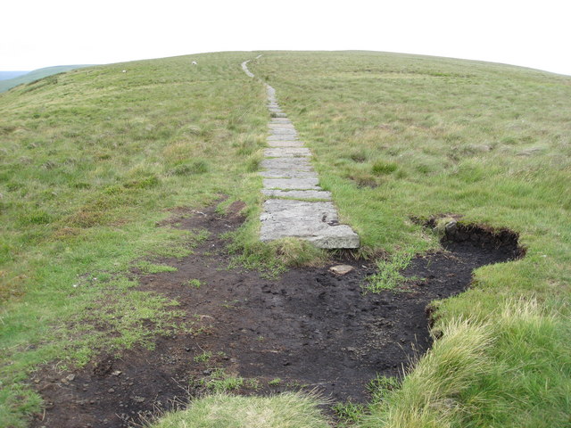
Blackley Clough is a picturesque valley located in the county of Derbyshire, England. Situated within the Peak District National Park, this natural wonder attracts visitors with its serene beauty and rich history. The clough is formed by the Blackley Brook, a small river that runs through the valley, creating a stunning landscape of lush greenery and cascading waterfalls.
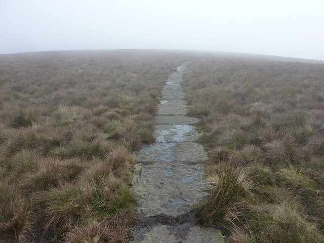
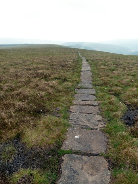
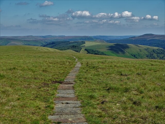
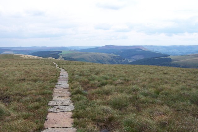
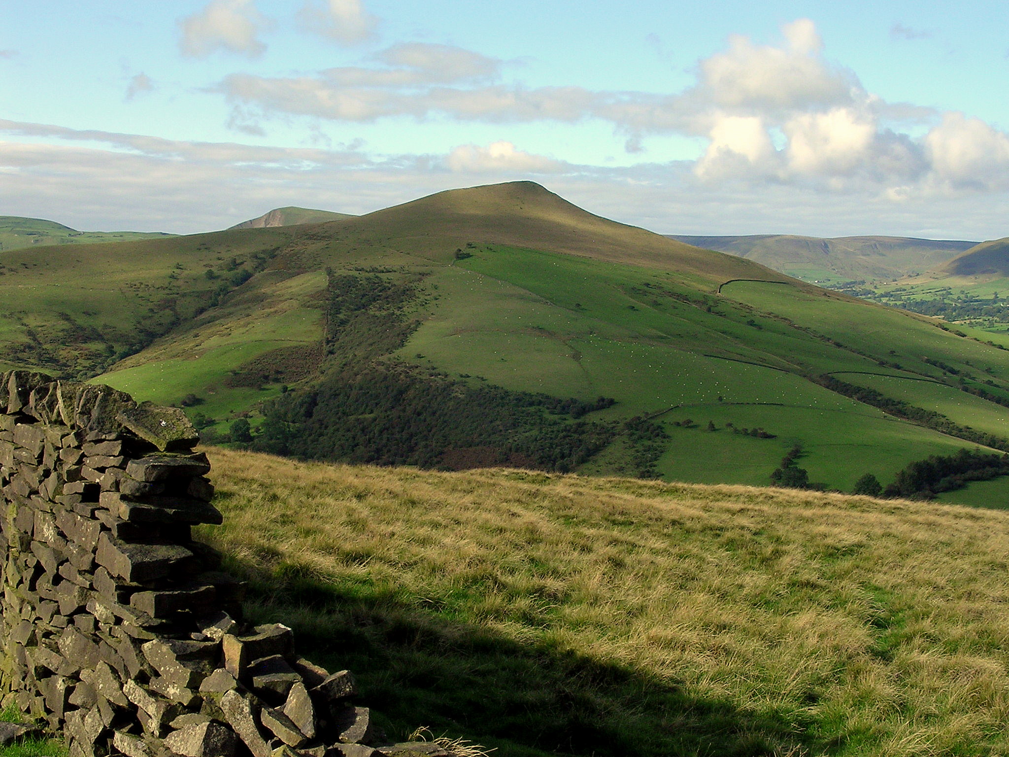
The valley is characterized by its steep sides and rocky terrain, which adds to its dramatic appeal. It is a popular destination for hikers and nature enthusiasts, who come to explore the numerous walking trails that wind through the area. The paths offer breathtaking views of the surrounding countryside, with its rolling hills and panoramic vistas.
Blackley Clough is also known for its diverse wildlife. The valley is home to a variety of bird species, including peregrine falcons and kestrels, making it a haven for birdwatchers. The river itself supports a thriving population of fish, such as trout and grayling, attracting anglers from far and wide.
In addition to its natural allure, Blackley Clough boasts a rich historical heritage. Ruins of old mills and weirs can be found along the riverbank, reflecting the area's past as an important center for textile production. These remnants provide a glimpse into the industrial history of the region, adding an element of intrigue for history buffs.
Overall, Blackley Clough offers a unique blend of natural beauty and historical significance. Whether visitors come to admire the stunning landscapes, engage in outdoor activities, or learn about the area's past, this valley in Derbyshire is sure to leave a lasting impression.
If you have any feedback on the listing, please let us know in the comments section below.
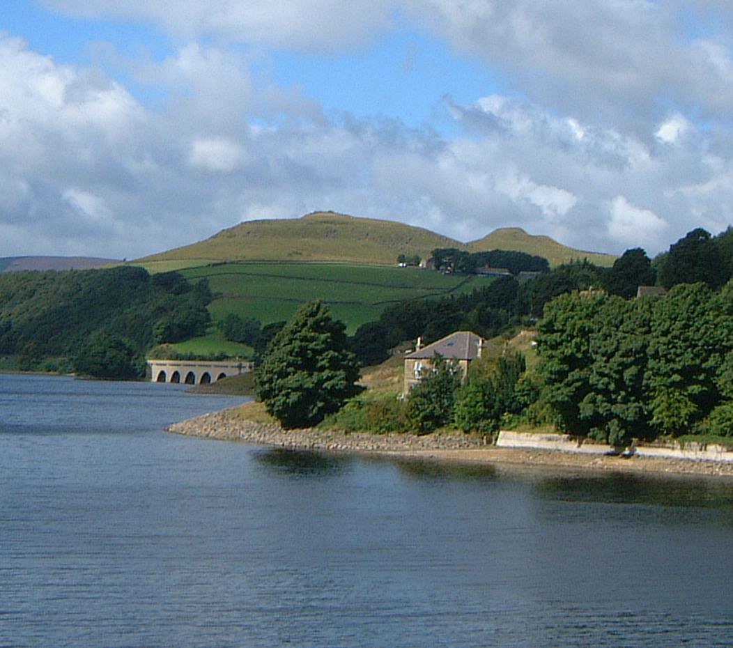
Blackley Clough Images
Images are sourced within 2km of 53.39161/-1.7641988 or Grid Reference SK1588. Thanks to Geograph Open Source API. All images are credited.


Blackley Clough is located at Grid Ref: SK1588 (Lat: 53.39161, Lng: -1.7641988)
Administrative County: Derbyshire
District: High Peak
Police Authority: Derbyshire
What 3 Words
///presuming.stages.thrusters. Near Hope Valley, Derbyshire
Nearby Locations
Related Wikis

Hope Woodlands
Hope Woodlands is an extensive civil parish in the High Peak district of Derbyshire in England. The parish covers the Woodlands Valley, the western Upper...

River Alport
The River Alport flows for 5.6 miles (9 km) in the Dark Peak of the Peak District in Derbyshire, England. Its source is on Bleaklow, 3 miles (4.8 km)...

Derwent Woodlands War Memorial
Derwent Woodlands War Memorial is a 20th-century grade II listed war memorial near the Ladybower Reservoir, Derbyshire. == History == The war memorial...

Dark Peak
The Dark Peak is the higher and wilder part of the Peak District in England, mostly forming the northern section but also extending south into its eastern...

Derwent Reservoir (Derbyshire)
Derwent Reservoir is the middle of three reservoirs in the Upper Derwent Valley in the north of Derbyshire, England. It lies approximately 10 mi (16 km...
Crook Hill
Crook Hill is a small hill in the Peak District National Park in the English county of Derbyshire, 5 kilometres (3.1 mi) northeast of Castleton. ��2�...
Lose Hill
Lose Hill lies in the Derbyshire Peak District. It is the south-east corner of the parish of Edale and the end of the Great Ridge that runs from Rushup...

Derwent, Derbyshire
Derwent was a village 'drowned' in 1944 when the Ladybower Reservoir in Derbyshire, England was created. The village of Ashopton, Derwent Woodlands church...
Nearby Amenities
Located within 500m of 53.39161,-1.7641988Have you been to Blackley Clough?
Leave your review of Blackley Clough below (or comments, questions and feedback).