Blessed Bottom

Valley in Gloucestershire Cotswold

England

Blessed Bottom

Blossom on Five Mile Drive (A424)
Blossom on Five Mile Drive (A424) Credit: David Smith

Blessed Bottom is a picturesque valley located in the county of Gloucestershire, England. Nestled amidst the rolling hills of the Cotswolds, this idyllic location is renowned for its natural beauty and tranquil atmosphere.

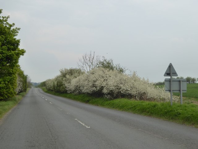
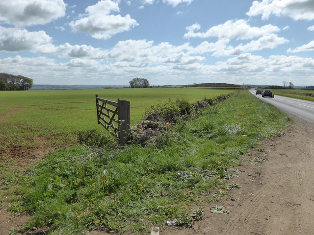
Surrounded by lush greenery and dotted with charming cottages, Blessed Bottom exudes a quintessential English countryside charm. The valley is traversed by a meandering river, which adds to its scenic allure. The riverbanks are adorned with vibrant wildflowers during the spring and summer months, creating a colorful spectacle for visitors.

The valley is home to a diverse range of flora and fauna, including rare species of birds, butterflies, and wild animals. Nature enthusiasts and birdwatchers are often drawn to Blessed Bottom for its rich biodiversity. The surrounding hills offer numerous walking trails, providing opportunities for hikers to explore the region's natural splendor.

The village of Blessed Bottom, located at the heart of the valley, is a close-knit community that embraces its rural heritage. The village features traditional stone houses with thatched roofs, giving it a timeless appeal. The locals are known for their warm hospitality and strong community spirit.

Despite its peaceful ambiance, Blessed Bottom is conveniently located near several larger towns and cities. The bustling market town of Stroud is just a short drive away, offering a range of amenities including shops, restaurants, and cultural attractions.

In conclusion, Blessed Bottom is a captivating valley in Gloucestershire, offering visitors a chance to escape the hustle and bustle of everyday life and immerse themselves in the beauty of nature.

If you have any feedback on the listing, please let us know in the comments section below.

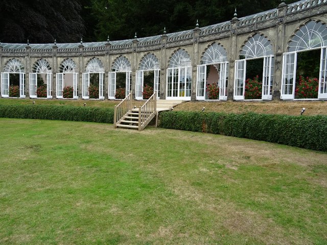
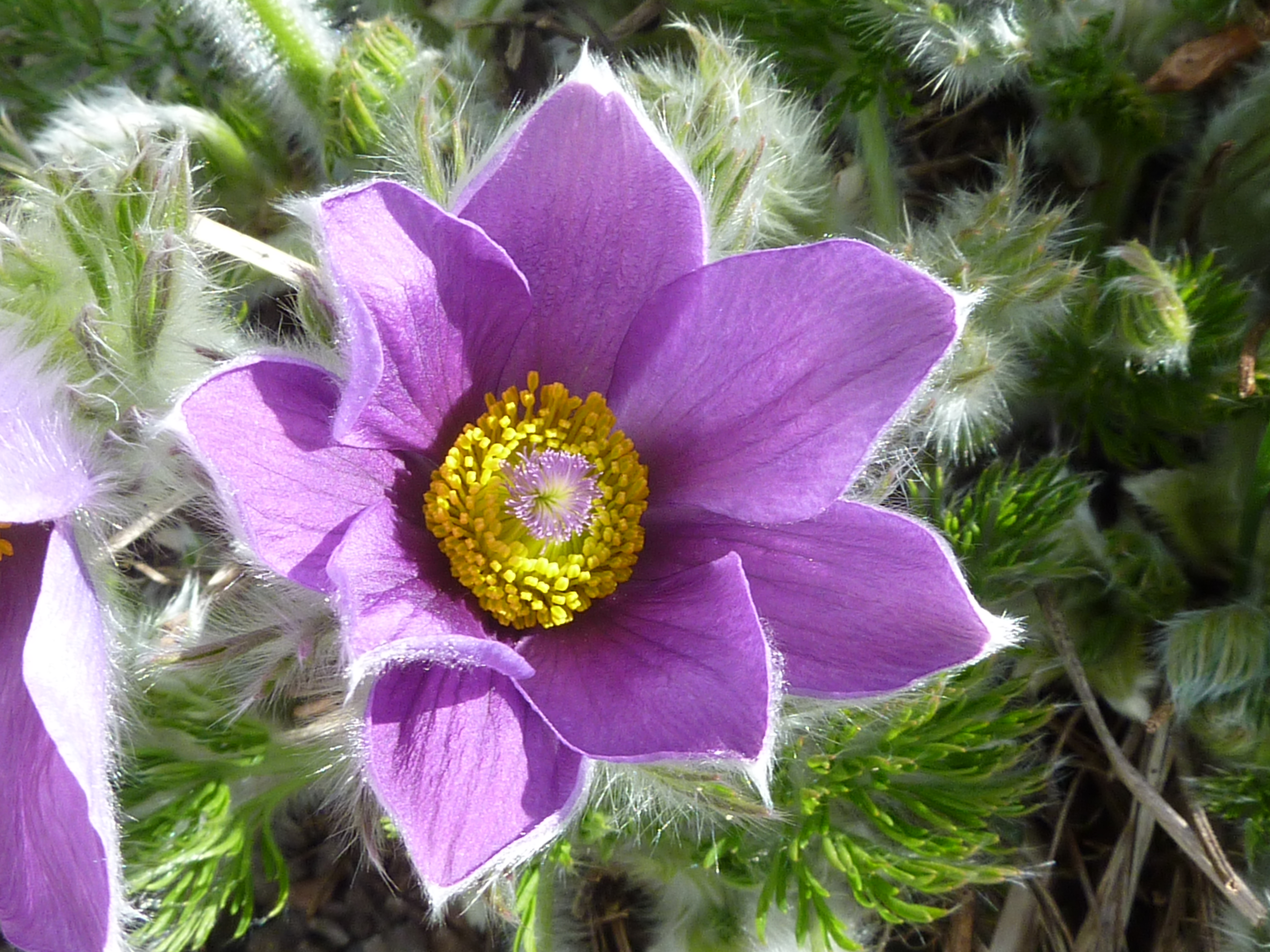
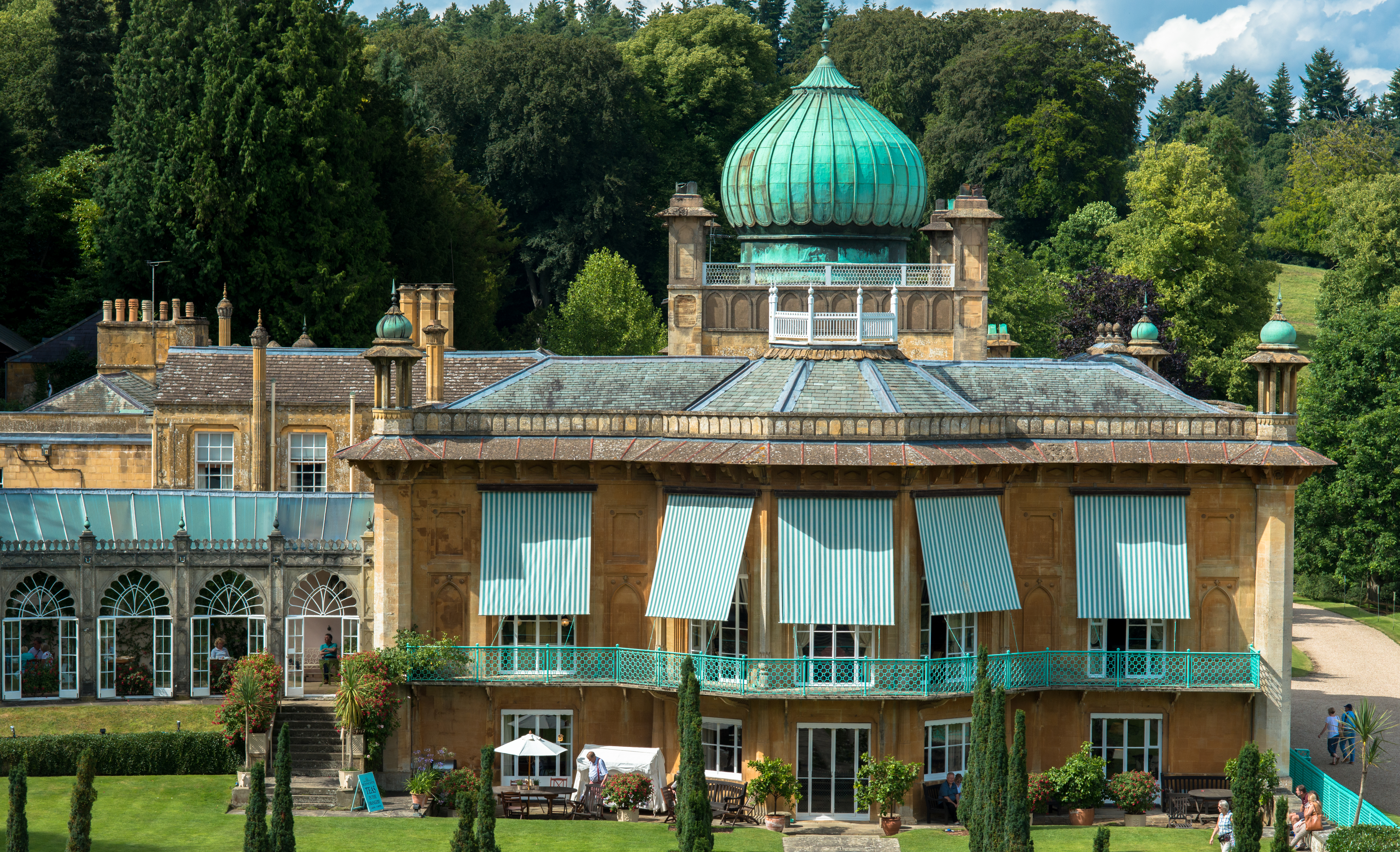
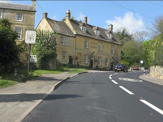
Blessed Bottom Images

Images are sourced within 2km of 51.97591/-1.7794538 or Grid Reference SP1530. Thanks to Geograph Open Source API. All images are credited.

Blossom on Five Mile Drive (A424)
Crop field next to A424 near Sezincote House
Sezincote House
Sezincote House
Sezincote House northern aspect
Sezincote House architectural detail 1
Sezincote House from the Persian Garden
Sezincote House: The Orangery tea room
Sezincote House: The Persian Garden
Sezincote House: The Orangery
Sezincote House and Persian Garden
Sezincote House architectural detail 2
Sezincote Garden: Ornamental bulls on the Indian Bridge
Sezincote: Five minutes to go before the house tour starts
Sezincote House
Sezincote House
Sezincote House A touch of India in the Cotswolds.  The house is Grade I listed, see: <span class="nowrap"><a title="https://historicengland.org.uk/listing/the-list/list-entry/1341231" rel="nofollow ugc noopener" href="https://historicengland.org.uk/listing/the-list/list-entry/1341231">Link</a><img style="margin-left:2px;" alt="External link" title="External link - shift click to open in new window" src="https://s1.geograph.org.uk/img/external.png" width="10" height="10"/></span>
Sezincote House
A touch of India in the Cotswolds. The house is Grade I listed, see: LinkExternal link
A touch of India... A Hindustan Ambassador car parked at the front of Sezincote House, adding to the flavour of India thousands of miles away in the Cotswolds.
A touch of India...
A Hindustan Ambassador car parked at the front of Sezincote House, adding to the flavour of India thousands of miles away in the Cotswolds.
The Orangery, Sezincote House The Orangery at Sezincote is built to match the architecture of the house with a hint of India in it design.  The Orangery, like the house is Grade I listed, see: <span class="nowrap"><a title="https://historicengland.org.uk/listing/the-list/list-entry/1305074" rel="nofollow ugc noopener" href="https://historicengland.org.uk/listing/the-list/list-entry/1305074">Link</a><img style="margin-left:2px;" alt="External link" title="External link - shift click to open in new window" src="https://s1.geograph.org.uk/img/external.png" width="10" height="10"/></span>
The Orangery, Sezincote House
The Orangery at Sezincote is built to match the architecture of the house with a hint of India in it design. The Orangery, like the house is Grade I listed, see: LinkExternal link
Show me another place!

Blessed Bottom is located at Grid Ref: SP1530 (Lat: 51.97591, Lng: -1.7794538)

Administrative County: Gloucestershire

District: Cotswold

Police Authority: Gloucestershire

What 3 Words

///followers.stiletto.calculating. Near Blockley, Gloucestershire

Related Wikis

Bourton Down

Bourton Down (grid reference SP142313) is an 11.17-hectare (27.6-acre) biological Site of Special Scientific Interest near Bourton-on-the-Hill in Gloucestershire...

Hinchwick

Hinchwick is a small village in Gloucestershire, England at grid reference SP145300. Hinchwick Manor was built by architect Charles Robert Cockerell in...

Sezincote (settlement)

Sezincote or Seasoncote is a settlement and civil parish comprising Sezincote House and its estate, situated about 3 miles from Stow-on-the-Wold in the...
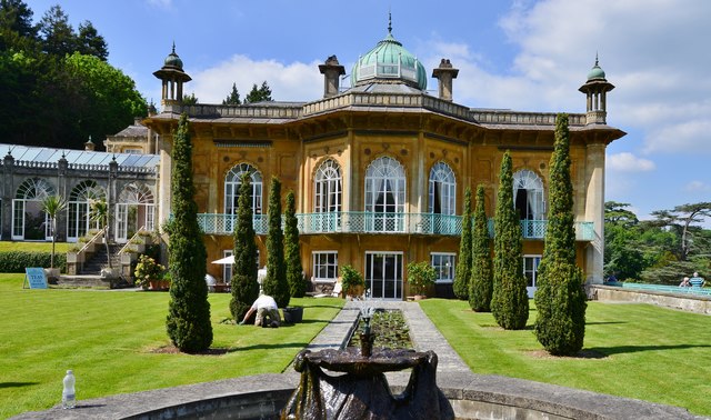
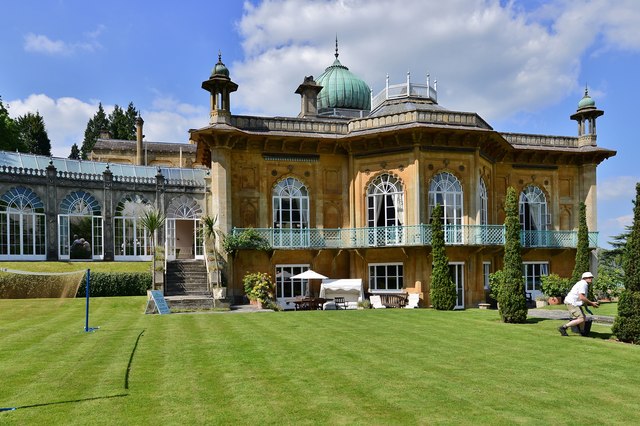
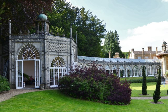
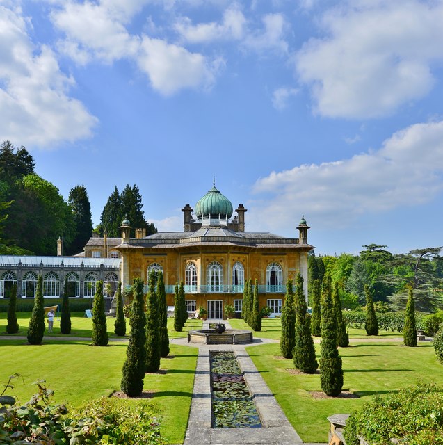
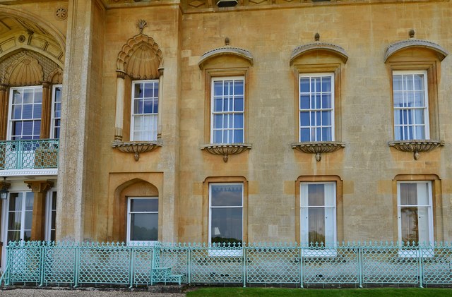
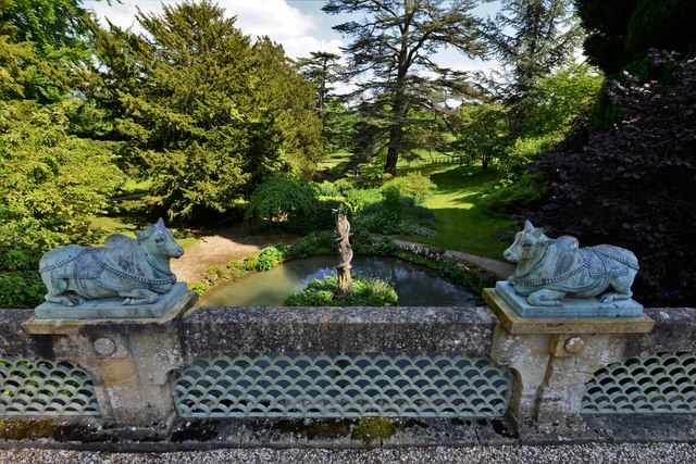
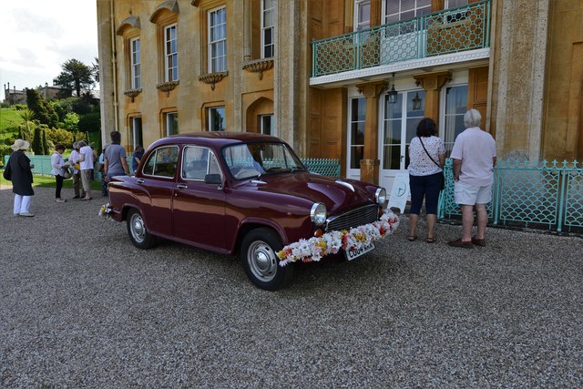
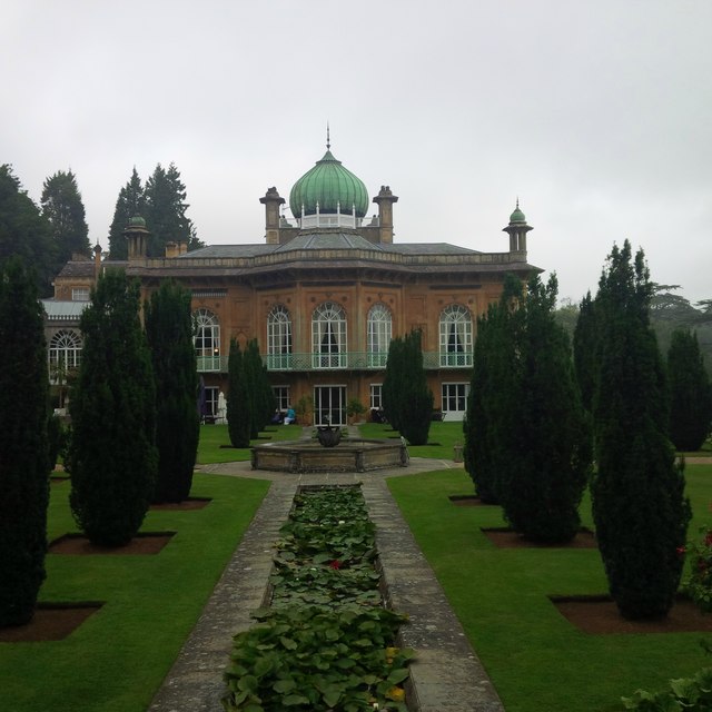
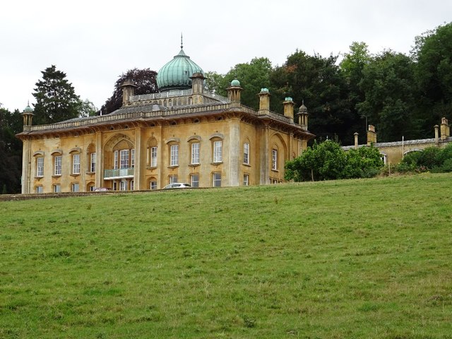
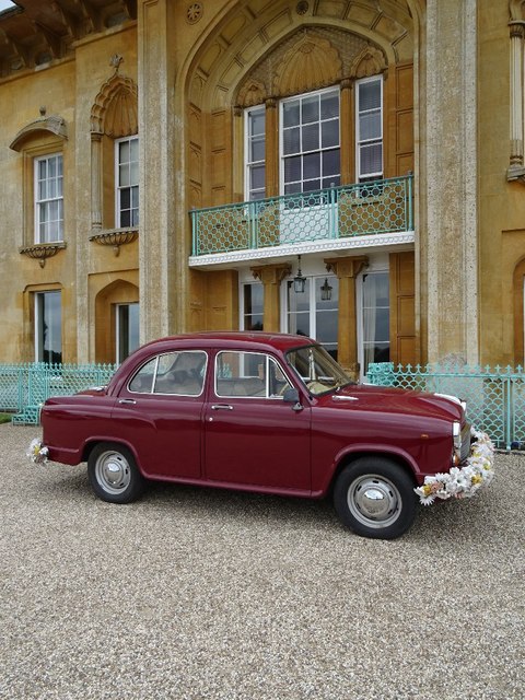
Sezincote House

Sezincote House (pronounced seas in coat) is the centre of a country estate in the civil parish of Sezincote, in the county of Gloucestershire, England...

Bourton-on-the-Hill

Bourton-on-the-Hill is a village and civil parish in the Cotswold district of Gloucestershire, England, and about 2 miles (3 km) west of Moreton-in-Marsh...

Hornsleasow Quarry

Hornsleasow Quarry (grid reference SP131322) is a 3.5-hectare (8.6-acre) geological Site of Special Scientific Interest in Gloucestershire, notified in...

Ganborough

Ganborough is a hamlet located along the A424 road, approximately 2 miles NNW of Stow on the Wold. Ganborough is located in Gloucestershire, a county in...

Church of St Lawrence, Bourton-on-the-Hill

The Anglican Church of St Lawrence at Bourton-on-the-Hill in the Cotswold District of Gloucestershire, England was built in the 12th century. It is a grade...

Nearby Amenities

Located within 500m of 51.97591,-1.7794538
Blessed Bottom
Place: locality
Lat/Long: 51.9761127/-1.7775214
Power: pole
Lat/Long: 51.9728829/-1.7806106
Power: pole
Lat/Long: 51.9733168/-1.7795941
Power: pole
Lat/Long: 51.9737434/-1.7785887
Power: pole
Lat/Long: 51.9741845/-1.777573
Power: pole
Lat/Long: 51.974625/-1.7765429
Power: pole
Lat/Long: 51.9718549/-1.7812678
Power: pole
Lat/Long: 51.977902/-1.7741056
Power: pole
Lat/Long: 51.9779169/-1.7731762
Power: pole
Lat/Long: 51.9778871/-1.775041
Power: pole
Lat/Long: 51.9782729/-1.7762768
Power: pole
Lat/Long: 51.9786116/-1.7773752
Power: pole
Lat/Long: 51.9788958/-1.7782818
Power: pole
Lat/Long: 51.9792188/-1.7793185
Power: pole
Lat/Long: 51.9795112/-1.7802224
Power: pole
Lat/Long: 51.9798639/-1.7813703
Power: pole
Lat/Long: 51.976976/-1.7730153
Power: pole
Lat/Long: 51.9763382/-1.7738494
Power: pole
Lat/Long: 51.9757112/-1.7746755
Power: pole
Lat/Long: 51.9750635/-1.7755124
Power: pole
Lat/Long: 51.9724537/-1.7806227
The data included in this document is from www.openstreetmap.org. The data is made available under ODbL.

Have you been to Blessed Bottom?

Leave your review of Blessed Bottom below (or comments, questions and feedback).