Brown's Clough

Valley in Yorkshire

England

Brown's Clough

Lady Cross above Woodhead This ancient cross marked the highest point of the packhorse route over the moors above Woodhead.
Lady Cross above Woodhead Credit: Colin Park

Brown's Clough is a picturesque valley located in the county of Yorkshire, England. Situated in the heart of the stunning Peak District National Park, it offers visitors a peaceful retreat surrounded by breathtaking natural beauty.

The valley is characterized by its rugged and hilly terrain, with steep slopes covered in dense vegetation. It is traversed by a meandering stream that adds to the charm of the landscape. The stream, which originates from the nearby hills, is known for its crystal-clear waters and is home to a variety of aquatic life.

Brown's Clough is renowned for its diverse flora and fauna. The valley is adorned with vibrant wildflowers, including bluebells, daffodils, and primroses, which create a colorful tapestry in the springtime. The dense woodlands that clothe the slopes provide a habitat for numerous bird species, such as woodpeckers, owls, and thrushes.

For outdoor enthusiasts, Brown's Clough offers a plethora of activities. The valley boasts several walking trails, ranging from leisurely strolls along the stream to challenging hikes up the surrounding hills. These trails provide opportunities to explore the valley's hidden gems, including small waterfalls and limestone caves.

Nature lovers will also appreciate the valley's tranquil atmosphere, which is perfect for wildlife spotting and photography. The valley's secluded location ensures a peaceful and undisturbed experience, away from the hustle and bustle of city life.

In conclusion, Brown's Clough is a scenic valley in Yorkshire's Peak District National Park. With its stunning landscapes, diverse wildlife, and recreational opportunities, it is a nature lover's paradise and a must-visit destination for those seeking solace amidst Yorkshire's natural splendor.

If you have any feedback on the listing, please let us know in the comments section below.

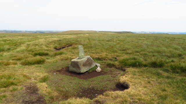
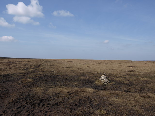
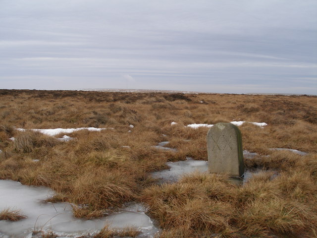
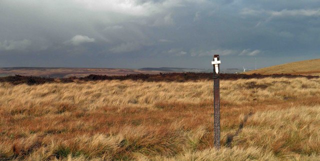
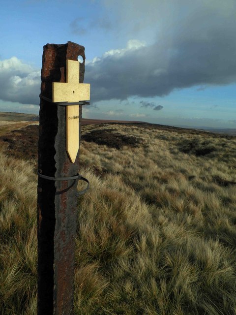
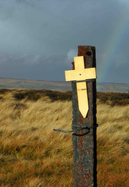
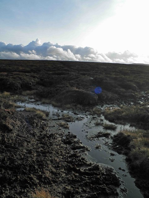
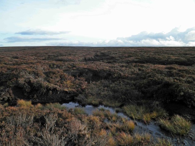
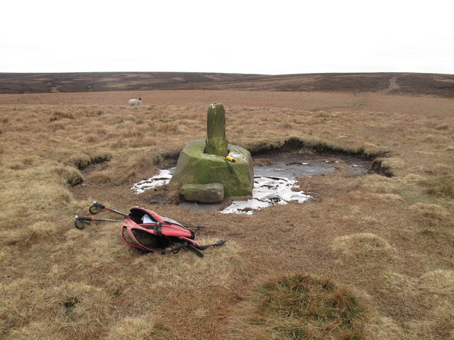
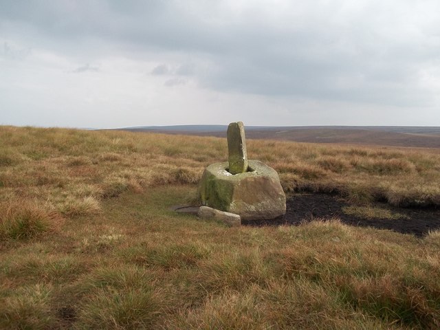
Brown's Clough Images

Images are sourced within 2km of 53.501896/-1.7815885 or Grid Reference SE1400. Thanks to Geograph Open Source API. All images are credited.

Lady Cross above Woodhead This ancient cross marked the highest point of the packhorse route over the moors above Woodhead.
Lady Cross above Woodhead
This ancient cross marked the highest point of the packhorse route over the moors above Woodhead.
A vital cairn In some wilderness areas there are too many cairns. Here on the Derwent Watershed they are few and far between so each one is vital especially if you still use a map and compass on days when you can't see more than a few metres ahead and refuse to buy a (cheats) GPS. The section of the watershed from Outer Edge to Bleaklow Stones is very tricky to navigate so this cairn is a vital landmark.
A vital cairn
In some wilderness areas there are too many cairns. Here on the Derwent Watershed they are few and far between so each one is vital especially if you still use a map and compass on days when you can't see more than a few metres ahead and refuse to buy a (cheats) GPS. The section of the watershed from Outer Edge to Bleaklow Stones is very tricky to navigate so this cairn is a vital landmark.
Path crossing the A628 near Salter's Brook This is one of the Transpennine Trails.
Path crossing the A628 near Salter's Brook
This is one of the Transpennine Trails.
Lady Shaw Bridge Crossing Salter's Brook. This brook will shortly become the River Etherow.
Lady Shaw Bridge
Crossing Salter's Brook. This brook will shortly become the River Etherow.
The remains of Salter's Brook House A former inn on the original route before the A628 was built.
The remains of Salter's Brook House
A former inn on the original route before the A628 was built.
Milestone on the old road near Lady Cross
A628 above Longside End
The Longdendale Trail at Longside End The eastern end of the 10.5km trail seen here running parallel to the A628 Woodhead Pass. This track also forms part of the Trans Pennine Trail.
The Longdendale Trail at Longside End
The eastern end of the 10.5km trail seen here running parallel to the A628 Woodhead Pass. This track also forms part of the Trans Pennine Trail.
The Longdendale Trail Puddles on the trail following a spell of wet weather.
The Longdendale Trail
Puddles on the trail following a spell of wet weather.
Remembrance day On the track to Lady Cross on the Saltersbrook road (track) remembrance day crosses have been placed. See <a href="https://www.geograph.org.uk/photo/3219627">SK1599 : Moorland remembrance</a>
Remembrance day
On the track to Lady Cross on the Saltersbrook road (track) remembrance day crosses have been placed. See SK1599 : Moorland remembrance
Moorland remembrance On the track to Lady Cross on the Saltersbrook road (track) remembrance day crosses have been placed. See <a href="https://www.geograph.org.uk/photo/3219626">SK1599 : Remembrance day</a>
Moorland remembrance
On the track to Lady Cross on the Saltersbrook road (track) remembrance day crosses have been placed. See SK1599 : Remembrance day
Remembrance Cross and rainbow Remembrance crosses attached to moorland fence.
Remembrance Cross and rainbow
Remembrance crosses attached to moorland fence.
Enough mud for one day! The track from Lady Cross and the A628 Woodhead pass is just on long peat mud trot.
Enough mud for one day!
The track from Lady Cross and the A628 Woodhead pass is just on long peat mud trot.
Not much to see today It's a flog in the mud from the A628 Woodhead pass via Lady's Cross and Round Hill to get here.
Not much to see today
It's a flog in the mud from the A628 Woodhead pass via Lady's Cross and Round Hill to get here.
Lady Cross Lady Cross photoed on way to Hoar Stones and Horse Stone Naze on a cool morning.
Lady Cross
Lady Cross photoed on way to Hoar Stones and Horse Stone Naze on a cool morning.
Trans-Pennine Trail at Longside End An unfriendly at-grade crossing of the A628
Trans-Pennine Trail at Longside End
An unfriendly at-grade crossing of the A628
The old bridge at Salter's Brook
Lady Cross Situated around 400 metres south of the A628 Road.
Lady Cross
Situated around 400 metres south of the A628 Road.
Show me another place!

Brown's Clough is located at Grid Ref: SE1400 (Lat: 53.501896, Lng: -1.7815885)

Division: West Riding

Unitary Authority: Barnsley

Police Authority: South Yorkshire

What 3 Words

///bearings.shuttling.aimlessly. Near Holmfirth, West Yorkshire

Related Wikis

Longdendale

Longdendale is a valley in the Peak District of England, north of Glossop and southwest of Holmfirth. The name means "long wooded valley" and the valley...

Winscar Reservoir

Winscar Reservoir (also known as Winscar dam), is a compensation reservoir on the headwaters of the River Don in South Yorkshire, England. The reservoir...

Dunford Bridge railway station

Dunford Bridge railway station was a railway station that served the village of Dunford Bridge on the Sheffield, Ashton-under-Lyne and Manchester Railway...

Dunford Bridge

Dunford Bridge is a remote hamlet in the civil parish of Dunford, lying northwest of Sheffield in South Yorkshire, England, 1.3 miles (2 km) from the...

Nearby Amenities

Located within 500m of 53.501896,-1.7815885
Windle Edge/A628
Naptan AtcoCode: 370055950
Naptan Bearing: N
Naptan BusStopType: CUS
Naptan CommonName: Windle Edge/A628
Naptan Indicator: 55950
Naptan Landmark: 55950
Naptan Street: A628
Naptan Verified: no
Source: naptan_import
Lat/Long: 53.5011919/-1.7882127
Windle Edge/A628
Naptan AtcoCode: 370055951
Naptan Bearing: N
Naptan BusStopType: CUS
Naptan CommonName: Windle Edge/A628
Naptan Indicator: 55951
Naptan Landmark: 55951
Naptan Street: A628
Naptan Verified: no
Source: naptan_import
Lat/Long: 53.5012638/-1.7881972
Parking
Parking: street_side
Lat/Long: 53.4985959/-1.7789207
Parking
Capacity: 10
Fee: no
Parking: street_side
Lat/Long: 53.501688/-1.7889666
The data included in this document is from www.openstreetmap.org. The data is made available under ODbL.

Have you been to Brown's Clough?

Leave your review of Brown's Clough below (or comments, questions and feedback).