Brook Bottom

Valley in Derbyshire Derbyshire Dales

England

Brook Bottom

Red Telephone Box, Tideswell Situated between Fountain Street and Queen Street in the centre of Tideswell, this K6 telephone box is unusual that the words above the glass panes are "History" and "Tideswell" instead of "Telephone" as one can no longer make phone calls from this box, but listen to items of history covering Tideswell instead. The postcode of this telephone box is SK17 8JX.
Red Telephone Box, Tideswell Credit: David Hillas

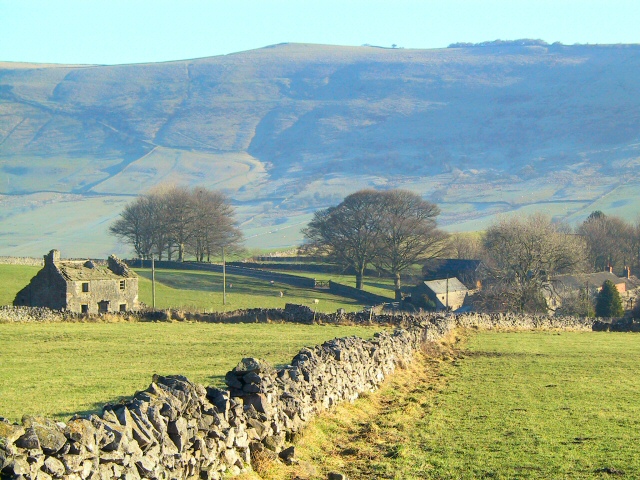
Brook Bottom, located in Derbyshire, England, is a picturesque valley nestled within the Peak District National Park. With its lush greenery, charming cottages, and serene brooks, it offers visitors a tranquil escape from the bustling city life.

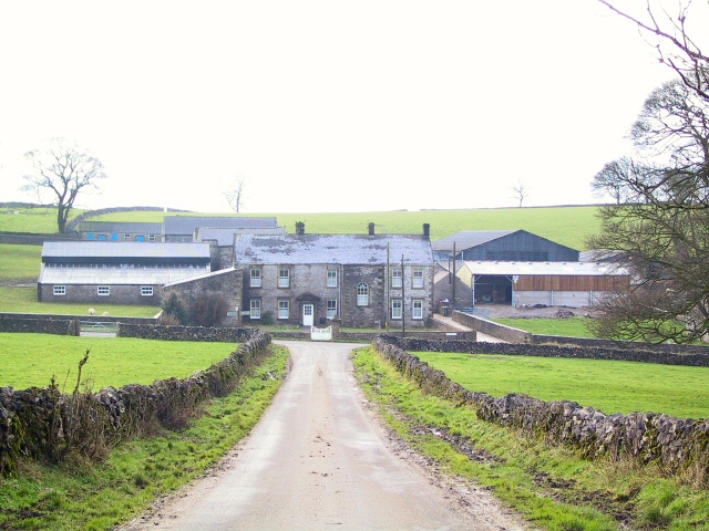
The valley is characterized by its rolling hills and meandering streams, which add to its natural beauty. The brooks that flow through the area are crystal clear and are home to a variety of aquatic wildlife, making it a popular spot for nature enthusiasts and photographers. The surrounding woodlands are filled with diverse flora and fauna, providing ample opportunities for hiking and exploring.

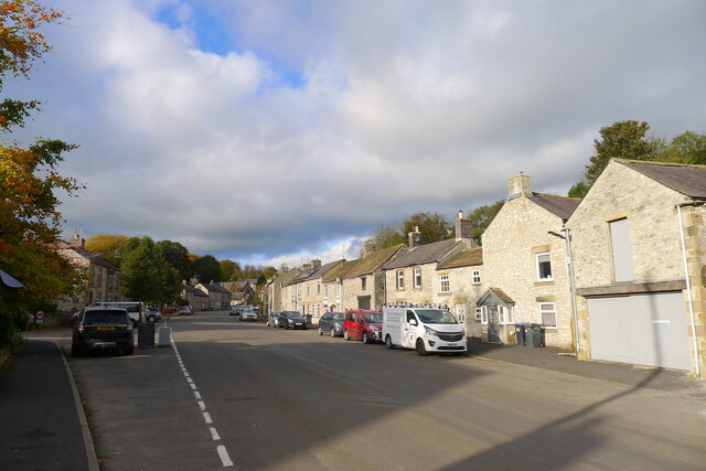
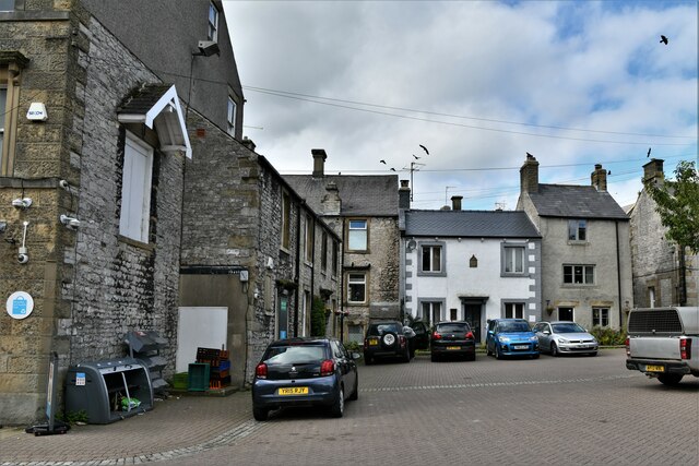
The village itself is small but idyllic, with stone cottages dating back to the 18th century. The locals are known for their warm hospitality, and visitors can find cozy bed and breakfast accommodations to enjoy a peaceful stay. The village pub is a popular gathering spot, offering traditional English fare and a welcoming atmosphere.

In addition to its natural beauty, Brook Bottom also boasts historical significance. The valley was once a thriving center for lead mining, and remnants of this industry can still be seen today. Visitors can explore the old mine shafts and learn about the area's industrial heritage.

Overall, Brook Bottom, Derbyshire, offers a perfect blend of natural beauty, history, and tranquility. Whether you are seeking outdoor adventures or simply looking for a peaceful retreat, this charming valley has something to offer for everyone.

If you have any feedback on the listing, please let us know in the comments section below.

Brook Bottom Images

Images are sourced within 2km of 53.287593/-1.7832366 or Grid Reference SK1476. Thanks to Geograph Open Source API. All images are credited.

Red Telephone Box, Tideswell Situated between Fountain Street and Queen Street in the centre of Tideswell, this K6 telephone box is unusual that the words above the glass panes are "History" and "Tideswell" instead of "Telephone" as one can no longer make phone calls from this box, but listen to items of history covering Tideswell instead. The postcode of this telephone box is SK17 8JX.
Red Telephone Box, Tideswell
Situated between Fountain Street and Queen Street in the centre of Tideswell, this K6 telephone box is unusual that the words above the glass panes are "History" and "Tideswell" instead of "Telephone" as one can no longer make phone calls from this box, but listen to items of history covering Tideswell instead. The postcode of this telephone box is SK17 8JX.
Tideswell Telephone Exchange Situated in Summer Cross, this TE is built from local limestone and would appear to date from the early 1970s. Besides Tideswell, this TE also serves Cressbrook, Great Hucklow, Grindlow, Little Hucklow, Litton, Miller's Dale, Tunstead, Wardlow, Wheston and Wormhill nearby. With the area this TE serves, it is perhaps not surprising that a large building is needed for its telephone and broadband services. Red doors and ventilation louvres can be seen in this photo. The numbering range of this TE is (01298) 87xxxx, the (01298) referring to the Buxton group of TEs, and its postcode is SK17 8HU.
Tideswell Telephone Exchange
Situated in Summer Cross, this TE is built from local limestone and would appear to date from the early 1970s. Besides Tideswell, this TE also serves Cressbrook, Great Hucklow, Grindlow, Little Hucklow, Litton, Miller's Dale, Tunstead, Wardlow, Wheston and Wormhill nearby. With the area this TE serves, it is perhaps not surprising that a large building is needed for its telephone and broadband services. Red doors and ventilation louvres can be seen in this photo. The numbering range of this TE is (01298) 87xxxx, the (01298) referring to the Buxton group of TEs, and its postcode is SK17 8HU.
Pasture at sunset, near Monksdale House
Limestone Way at Dusk The Pennine Bridleway is a new National Trail.
It runs roughly parallel with the Pennine Way but provides access for horseback riders and cyclists as well as walkers. The trail is around 205 miles long, extending from Derbyshire to Cumbria.
Wikipedia: <span class="nowrap"><a title="https://en.wikipedia.org/wiki/Pennine_Bridleway" rel="nofollow ugc noopener" href="https://en.wikipedia.org/wiki/Pennine_Bridleway">Link</a><img style="margin-left:2px;" alt="External link" title="External link - shift click to open in new window" src="https://s1.geograph.org.uk/img/external.png" width="10" height="10"/></span>
Limestone Way at Dusk
The Pennine Bridleway is a new National Trail. It runs roughly parallel with the Pennine Way but provides access for horseback riders and cyclists as well as walkers. The trail is around 205 miles long, extending from Derbyshire to Cumbria. Wikipedia: LinkExternal link
Sheep Grazing at dusk, near Monksdale Lane
Peak & Northern Footpaths Society, Sign No 217 Location of this stile and footpath leading from it looks inaccurate on OS Map, Possibly re-routed recently slightly to the South.
Peak & Northern Footpaths Society, Sign No 217
Location of this stile and footpath leading from it looks inaccurate on OS Map, Possibly re-routed recently slightly to the South.
A wet Sunday in Tideswell
The George Inn Tideswell
Cherry Tree Square, Tideswell
Queen Street, Tideswell Main street running through the village of Tideswell
Queen Street, Tideswell
Main street running through the village of Tideswell
Tower of St. John the Baptist Church, Tideswell Impressive Grade I Listed Building dating from the 14th Century, replacing an earlier Norman church.
Often referred to as "The Cathedral of The Peak".
Tower of St. John the Baptist Church, Tideswell
Impressive Grade I Listed Building dating from the 14th Century, replacing an earlier Norman church. Often referred to as "The Cathedral of The Peak".
Snowy fields above Brook Bottom As seen from the A623 on the opposite side of the valley.
Snowy fields above Brook Bottom
As seen from the A623 on the opposite side of the valley.
Snowy fields above Brook Bottom Viewed from the A623 on the other side of the valley.
Snowy fields above Brook Bottom
Viewed from the A623 on the other side of the valley.
The B6049 entering Town End, Tideswell 'The Clock House' ahead
The B6049 entering Town End, Tideswell
'The Clock House' ahead
Queen Street, Tideswell This completes our walk along Tom Lawton's circa 110 mile route 'Walking Around the Peak District' (Brockhampton Press, 1998). Started here, at Tideswell, 18 years ago!
Queen Street, Tideswell
This completes our walk along Tom Lawton's circa 110 mile route 'Walking Around the Peak District' (Brockhampton Press, 1998). Started here, at Tideswell, 18 years ago!
Tideswell, Commercial Road
Tideswell, St. John the Baptist's Church
Tideswell, Commercial Road
Show me another place!

Brook Bottom is located at Grid Ref: SK1476 (Lat: 53.287593, Lng: -1.7832366)

Administrative County: Derbyshire

District: Derbyshire Dales

Police Authority: Derbyshire

What 3 Words

///haggis.multiples.such. Near Tideswell, Derbyshire

Nearby Locations

Brook Bottom

Related Wikis

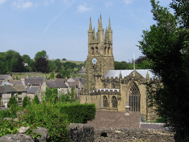
St John the Baptist, Tideswell

The church of St John the Baptist in Tideswell is a Church of England parish church. == Background == Although it is not actually a cathedral, due to its...

Wheston

Wheston is a village and civil parish in the Derbyshire Peak District. Notable features include Wheston Hall and the Wheston Cross. The cross, which survives...

Tideswell

Tideswell is a village, civil parish, and ward in the Peak District of Derbyshire, England. It lies 6 miles (9.7 km) east of Buxton on the B6049, in a...

Coplow Dale

Coplow Dale (or Coplowdale) is a small settlement in the civil parish of Little Hucklow, Derbyshire, England. == External links == Coplow Dale at Streetmap...

Peter Dale (Derbyshire)

Peter Dale is a short dry crag-sided valley near Buxton, Derbyshire, in the Peak District of England. There is a farmland plateau on either side. The northern...
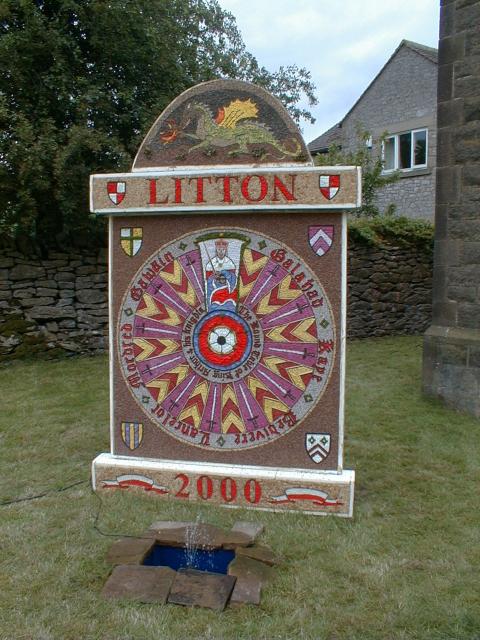
Litton, Derbyshire

Litton is a village and civil parish in the Peak District of Derbyshire, England. The population at the 2011 Census was 675 (including Cressbrook (within...

Tideswell Dale

Tideswell Dale is a short dry limestone valley near Tideswell village, Derbyshire, in the Peak District of England. There is a farmland plateau on either...

Hay Dale

Hay Dale is a short dry valley near Buxton, Derbyshire, in the Peak District of England. It is part of a longer valley that runs for approximately 4 miles...

Nearby Amenities

Located within 500m of 53.287593,-1.7832366
Barrier: stile
Source: survey;gps
Lat/Long: 53.2884656/-1.7843572
The data included in this document is from www.openstreetmap.org. The data is made available under ODbL.

Have you been to Brook Bottom?

Leave your review of Brook Bottom below (or comments, questions and feedback).