Shipley Glen
Valley in Yorkshire
England
Shipley Glen
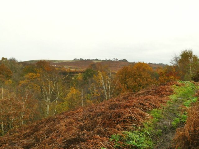
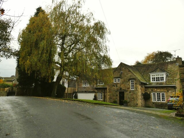
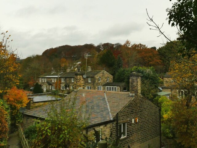
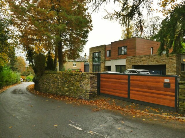
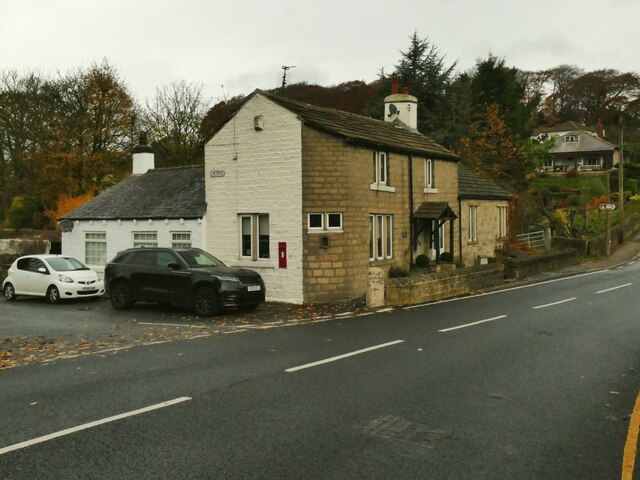
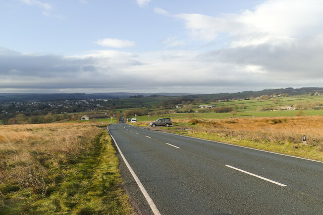
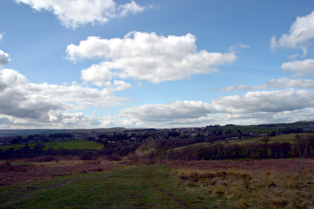
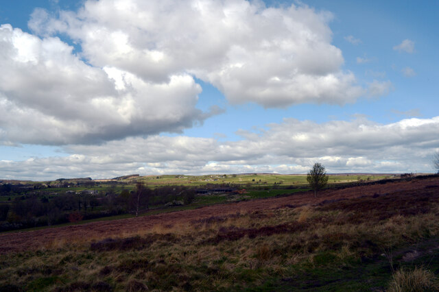
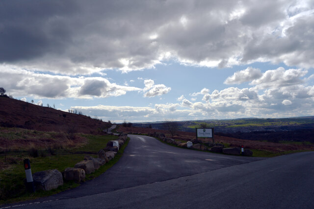
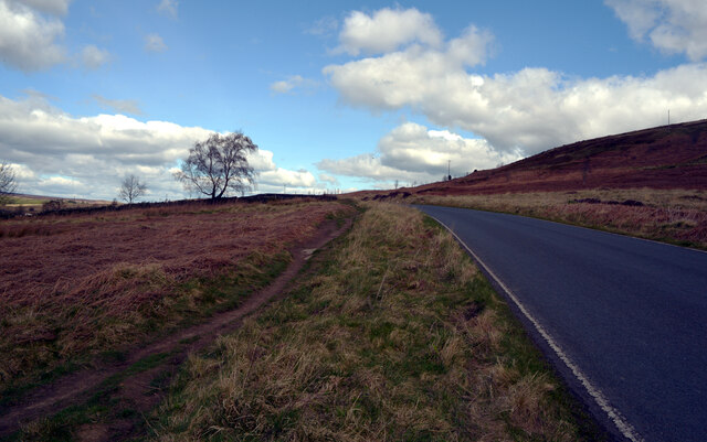
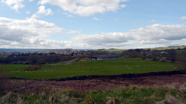
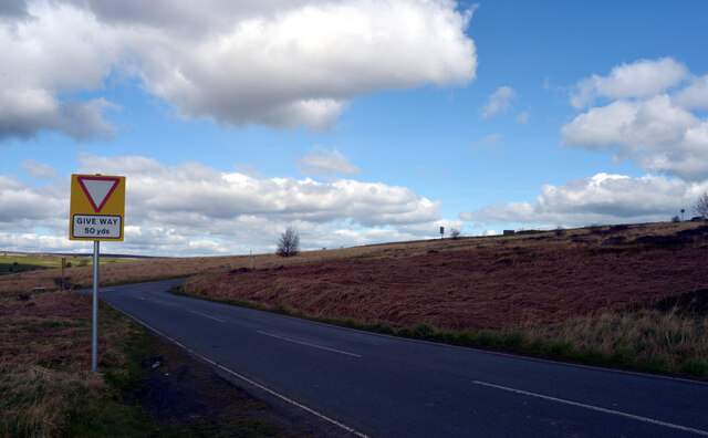
Shipley Glen is a picturesque valley located in West Yorkshire, England. Situated between Shipley and Baildon, it is known for its stunning natural beauty and is a popular destination for outdoor enthusiasts and nature lovers. The glen stretches for approximately two miles and is characterized by its deep, wooded valley and steep slopes.
The valley is home to a range of flora and fauna, including ancient woodland, wildflowers, and various species of birds and mammals. It offers a peaceful and tranquil setting, making it an ideal spot for walking, picnicking, and enjoying the great outdoors. There are several well-maintained footpaths that wind through the glen, providing visitors with the opportunity to explore its natural wonders.
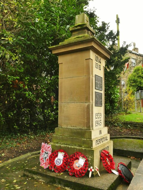
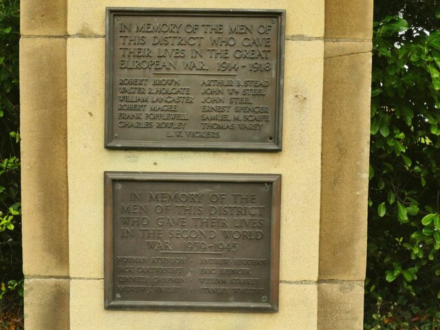
One of the highlights of Shipley Glen is the historic Shipley Glen Tramway, a unique attraction that has been operating since 1895. The tramway is the oldest working cable tramway in the United Kingdom and offers visitors a nostalgic ride up and down the slopes of the glen. It is a popular attraction for both locals and tourists alike, providing a glimpse into the area's rich industrial heritage.
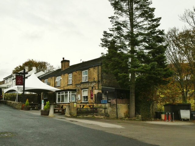
In addition to its natural beauty and historic tramway, Shipley Glen also boasts a number of amenities for visitors. There are several cafes and restaurants in the vicinity, offering a variety of dining options. The glen is also a great place for families, with a playground and open green spaces for children to enjoy.
Overall, Shipley Glen is a charming and idyllic destination in Yorkshire, offering a perfect blend of natural beauty, history, and recreational opportunities.
If you have any feedback on the listing, please let us know in the comments section below.
Shipley Glen Images
Images are sourced within 2km of 53.845339/-1.80028 or Grid Reference SE1338. Thanks to Geograph Open Source API. All images are credited.
Shipley Glen is located at Grid Ref: SE1338 (Lat: 53.845339, Lng: -1.80028)
Division: West Riding
Unitary Authority: Bradford
Police Authority: West Yorkshire
What 3 Words
///limitless.rings.daisy. Near Baildon, West Yorkshire
Nearby Locations
Related Wikis

Bracken Hall Countryside Centre and Museum
Bracken Hall Countryside Centre and Museum is a children's museum, natural history education centre and nature centre established in 1989 at Bracken Hall...

Shipley (UK Parliament constituency)
Shipley is a constituency represented in the House of Commons of the UK Parliament since 2005 by Philip Davies, a Conservative. == Boundaries == 1885...

Titus Salt School
Titus Salt School formerly called Salt Grammar School located in Baildon, West Yorkshire, England is a former grammar school, now a mixed comprehensive...

Shipley Glen Tramway
The Shipley Glen Tramway is a historic funicular tramway located in the wooded Shipley Glen near the village of Saltaire in the English county of West...

Roberts Park, Saltaire
Roberts Park is a 14 acres (5.7 ha) public urban park in Saltaire, West Yorkshire, England. Higher Coach Road, Baildon, is to the north and the park is...
Milner Field
Milner Field was a large country house near Saltaire in West Yorkshire, England built in 1872 for Titus Salt Junior, youngest son of the Yorkshire wool...

Saltaire United Reformed Church
Saltaire United Reformed Church (originally Saltaire Congregational Church) is a church at Saltaire, West Yorkshire, England. Commissioned and paid for...
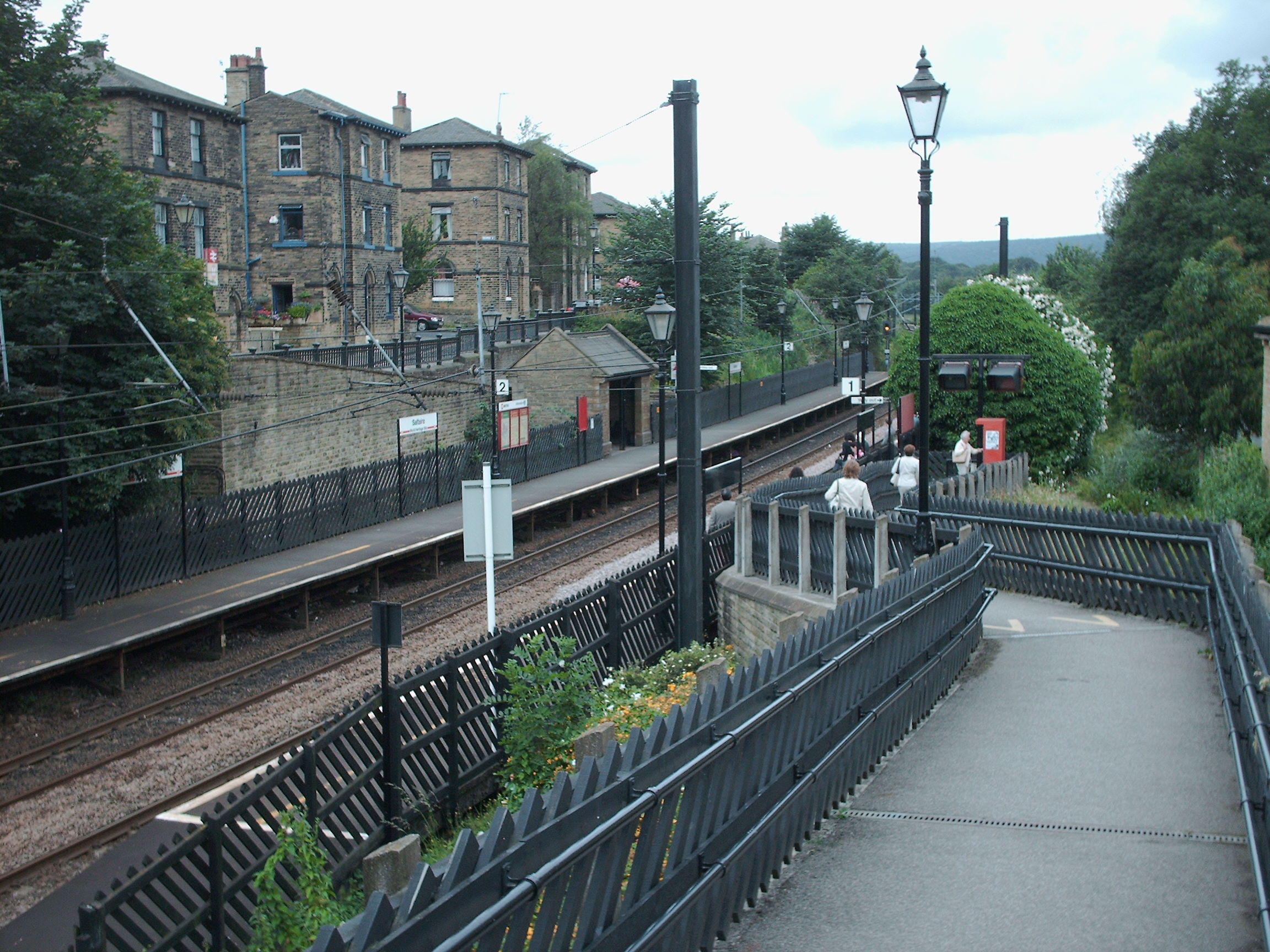
Saltaire railway station
Saltaire railway station serves the village of Saltaire near Shipley in West Yorkshire, England. It is situated 3+1⁄2 miles (6 km) north of Bradford Forster...
Nearby Amenities
Located within 500m of 53.845339,-1.80028Have you been to Shipley Glen?
Leave your review of Shipley Glen below (or comments, questions and feedback).