Springs Bottom

Valley in Yorkshire Harrogate

England

Springs Bottom

Manor House Museum With some of the Roman remains on which it is built
Manor House Museum Credit: Kevin Waterhouse

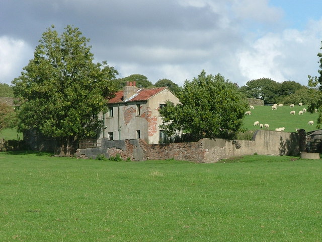
Springs Bottom is a picturesque valley located in the county of Yorkshire, England. Nestled between rolling hills and lush green landscapes, this idyllic valley is surrounded by natural beauty that attracts visitors from near and far.

The valley gets its name from the numerous natural springs that can be found in the area. These springs not only add to the charm of Springs Bottom but also provide a source of fresh water for the surrounding flora and fauna. As a result, the valley is teeming with vibrant plant life, creating a haven for nature enthusiasts and botanists alike.

The valley is also home to a diverse range of wildlife. Visitors can spot various species of birds, mammals, and insects as they explore the valley's trails and pathways. The peaceful atmosphere of Springs Bottom makes it an ideal destination for birdwatching and wildlife photography.

In addition to its natural wonders, Springs Bottom also boasts a rich history. The valley has been inhabited for centuries, and evidence of human settlements from different eras can be found throughout the area. Ruins of old buildings and ancient burial grounds serve as a reminder of the valley's past.

Visitors to Springs Bottom can enjoy a range of activities, including hiking, picnicking, and simply taking in the breathtaking scenery. The valley offers a tranquil escape from the hustle and bustle of city life, providing an opportunity to reconnect with nature and immerse oneself in the beauty of Yorkshire's countryside.

If you have any feedback on the listing, please let us know in the comments section below.

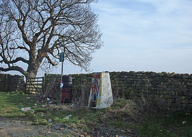
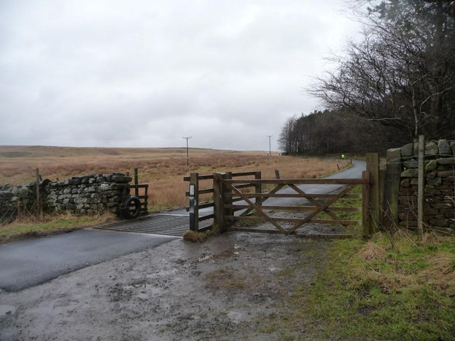
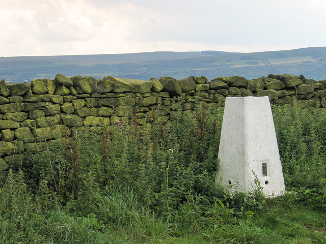
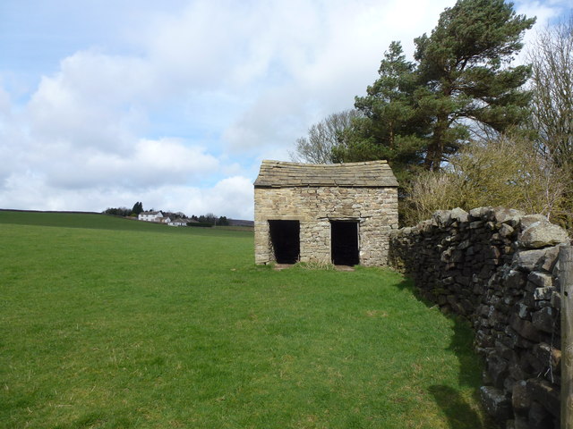
Springs Bottom Images

Images are sourced within 2km of 53.933257/-1.8417611 or Grid Reference SE1048. Thanks to Geograph Open Source API. All images are credited.

Manor House Museum With some of the Roman remains on which it is built
Manor House Museum
With some of the Roman remains on which it is built
Ling Park Trig Pillar Situated at 245 metres above sea level on the back road between Ilkley and Beamsley. This would have been a very pleasant location had it not been for the rubbish strewn around and the graffiti.
Ling Park Trig Pillar
Situated at 245 metres above sea level on the back road between Ilkley and Beamsley. This would have been a very pleasant location had it not been for the rubbish strewn around and the graffiti.
Cattle grid, Hardings Lane On a wet and windy winter's afternoon, a runner in bright yellow is making their way up Ellishaw Hill.
Cattle grid, Hardings Lane
On a wet and windy winter's afternoon, a runner in bright yellow is making their way up Ellishaw Hill.
Trig point between Ellishaw Hill and Ling Park At 245 metres above sea level.
Trig point between Ellishaw Hill and Ling Park
At 245 metres above sea level.
Farmland north-west of Ling Park Looking towards Ling Park from the field gate by the trig point off Hardings Lane.
Farmland north-west of Ling Park
Looking towards Ling Park from the field gate by the trig point off Hardings Lane.
Farmland along Ellishaw Beck A mixture of rough grazing and walled pasture fields. West of Hardings Lane.
Farmland along Ellishaw Beck
A mixture of rough grazing and walled pasture fields. West of Hardings Lane.
Farmland east of Parks Lane, Middleton Lapwing in the foreground, Windsover Farm in the distance.
Farmland east of Parks Lane, Middleton
Lapwing in the foreground, Windsover Farm in the distance.
Field boundary west of Windsover Farm Broken-down dry-stone wall supporting a post and wire fence which has taken over its role.
Field boundary west of Windsover Farm
Broken-down dry-stone wall supporting a post and wire fence which has taken over its role.
Parks Lane, looking north An 'other route with public access' leading onto Middleton Moor.
Parks Lane, looking north
An 'other route with public access' leading onto Middleton Moor.
Farmland north-west of Windsover Farm With Ling Park Plantation in the distance.
Farmland north-west of Windsover Farm
With Ling Park Plantation in the distance.
Farmland west of Parks Lane, Middleton Rough grassland below Middleton Moor.
Farmland west of Parks Lane, Middleton
Rough grassland below Middleton Moor.
Parks Lane, looking south Heading from Middleton Moor to a six-ways junction with Hardings Lane.
Parks Lane, looking south
Heading from Middleton Moor to a six-ways junction with Hardings Lane.
Muck heap west of Windsover Farm Produced by cattle over-wintering in cowsheds, appreciated by greylag geese.
Muck heap west of Windsover Farm
Produced by cattle over-wintering in cowsheds, appreciated by greylag geese.
Trig point beside dry stone wall The trig point known to the OS as Ling Park stands on the north side of the wall and just south of Hardings Lane. The upland area beyond the wall is Ilkley Moor.
Trig point beside dry stone wall
The trig point known to the OS as Ling Park stands on the north side of the wall and just south of Hardings Lane. The upland area beyond the wall is Ilkley Moor.
Old Boundary Marker by Harlings Lane, Ellishaw Hill Estate Boundary Marker by the UC road, in parish of Nesfield with Langbar (Harrogate District), Hardings Lane, Ellishaw Hill, between corner of a drystone wall and a wooden gate post.

Inscription reads:- : WM / 1812 :

To be surveyed

Milestone Society National ID: YW_NES03em
Old Boundary Marker by Harlings Lane, Ellishaw Hill
Estate Boundary Marker by the UC road, in parish of Nesfield with Langbar (Harrogate District), Hardings Lane, Ellishaw Hill, between corner of a drystone wall and a wooden gate post. Inscription reads:- : WM / 1812 : To be surveyed Milestone Society National ID: YW_NES03em
Bijou shippon near the head of Dean Beck A small, but perfectly formed, example of typical field building architecture in Wharfedale
Bijou shippon near the head of Dean Beck
A small, but perfectly formed, example of typical field building architecture in Wharfedale
Semi-derelict farmhouse NNE of Nesfield This unnamed farmhouse on the southwest edge of Middleton Moor seems to be unoccupied, possibly having been replaced by a modern farmhouse (Nessfield Court) 200 metres to the south.
Semi-derelict farmhouse NNE of Nesfield
This unnamed farmhouse on the southwest edge of Middleton Moor seems to be unoccupied, possibly having been replaced by a modern farmhouse (Nessfield Court) 200 metres to the south.
Lane towards High Lathe
Show me another place!

Springs Bottom is located at Grid Ref: SE1048 (Lat: 53.933257, Lng: -1.8417611)

Division: West Riding

Administrative County: North Yorkshire

District: Harrogate

Police Authority: North Yorkshire

What 3 Words

///valuables.sprint.whites. Near Ilkley, West Yorkshire

Related Wikis

Ilkley Golf Club

Ilkley Golf Club is a golf club in North Yorkshire, England, just outside the town of Ilkley in West Yorkshire. It is located about a mile to the northwest...

Dales Way

The Dales Way is an 78.5-mile (126.3 km) long-distance footpath in Northern England, from (south-east to north-west) Ilkley, West Yorkshire, to Bowness...

Heathcote, Ilkley

Heathcote is a Neoclassical-style villa in Ilkley, West Yorkshire, England. Designed by architect Edwin Lutyens, it was his first comprehensive use of...
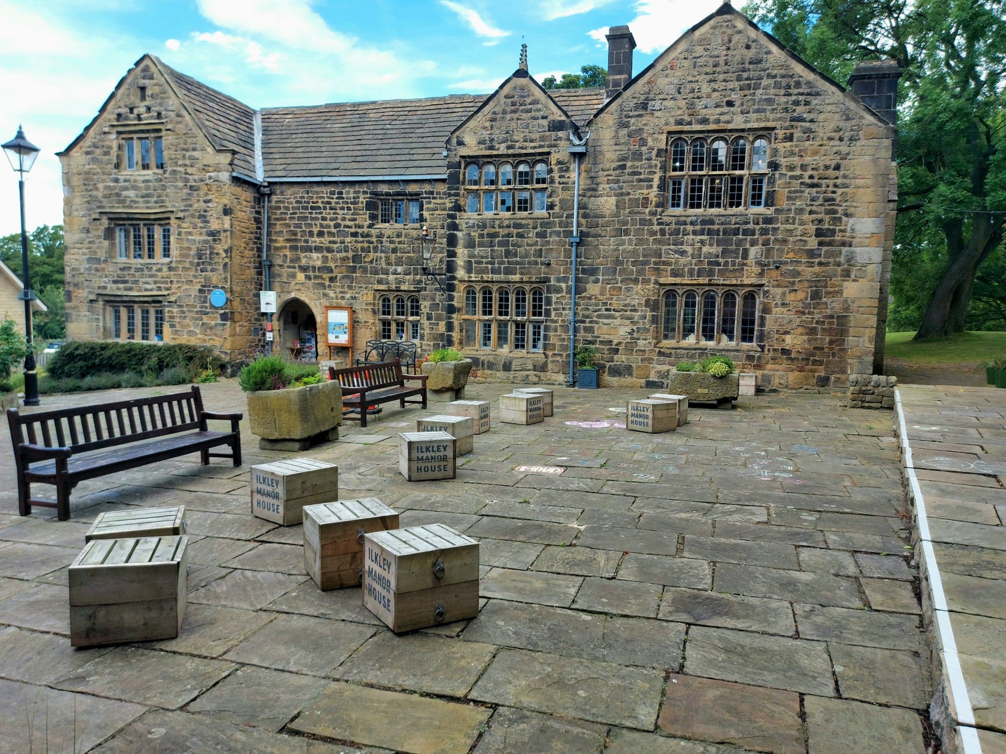
Ilkley Manor House

Ilkley Manor House, Ilkley, West Yorkshire, England, is a local heritage museum, art gallery, and live venue, and was established in the present building...

Nearby Amenities

Located within 500m of 53.933257,-1.8417611
Hawksworth Island
Place: islet
Source: OS_OpenData_StreetView
Lat/Long: 53.9333509/-1.8440179
Barrier: kissing_gate
Lat/Long: 53.9305689/-1.8456735
Barrier: kissing_gate
Lat/Long: 53.9306305/-1.8406055
Barrier: cattle_grid
Source: Bing
Lat/Long: 53.9290008/-1.840666
lime kiln
Archaeological Site: lime_kiln
Historic: archaeological_site
Output: lime
Source: OS sheet 169,publ 1853
Lat/Long: 53.933941/-1.8477085
Bicycle Parking
Access: yes
Bicycle Parking: stands
Covered: no
Fee: no
Lat/Long: 53.9303193/-1.8372295
Man Made: utility_pole
Source: bing
Lat/Long: 53.9304741/-1.8380481
Man Made: utility_pole
Source: bing
Lat/Long: 53.9301449/-1.8389641
Man Made: utility_pole
Source: bing
Lat/Long: 53.9294982/-1.8394563
The data included in this document is from www.openstreetmap.org. The data is made available under ODbL.

Have you been to Springs Bottom?

Leave your review of Springs Bottom below (or comments, questions and feedback).