Stable Clough
Valley in Derbyshire High Peak
England
Stable Clough
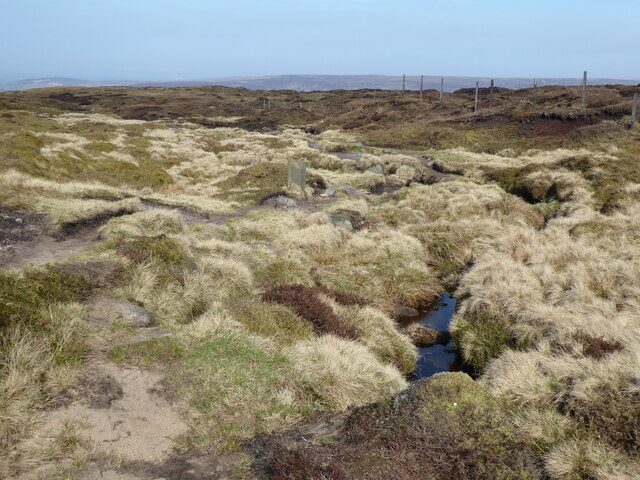
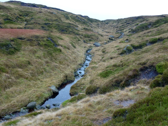
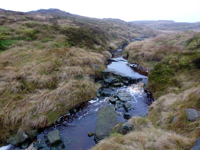
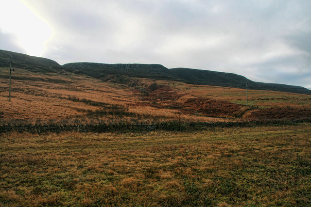
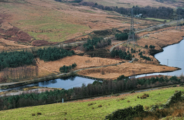
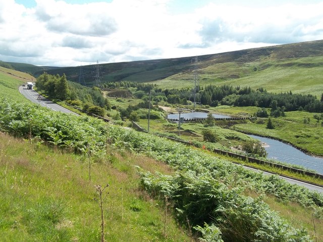
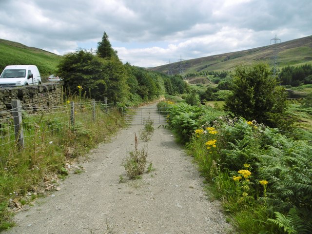
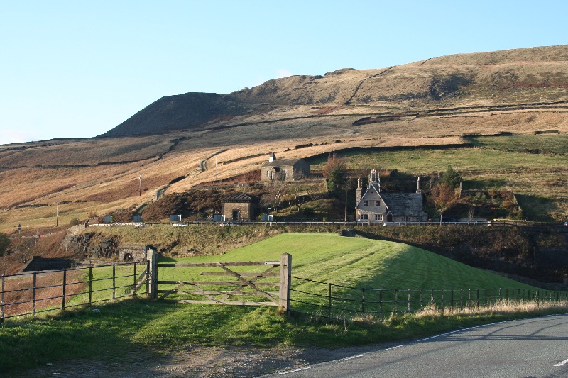
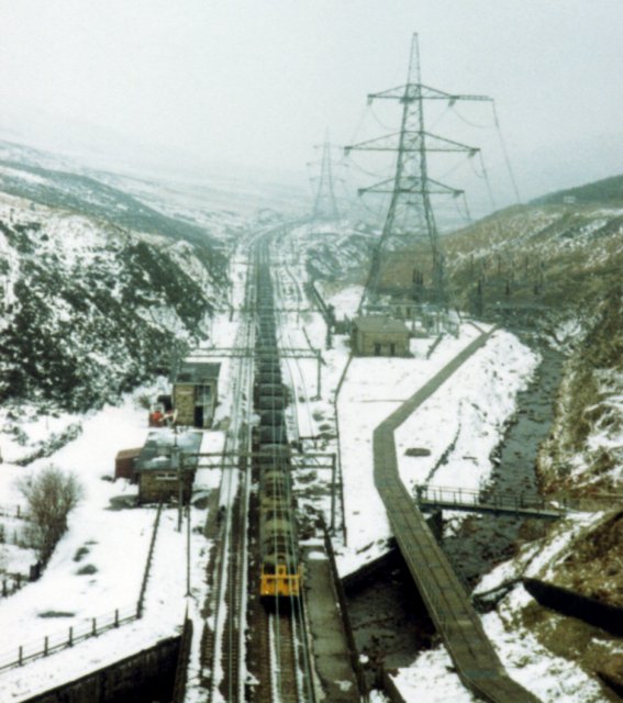
Stable Clough is a picturesque valley located in Derbyshire, England. Situated in the Peak District National Park, it is a popular destination for nature enthusiasts and hikers alike. The valley is characterized by its stunning natural beauty, with rolling green hills, lush vegetation, and a meandering river that runs through it.
The name "Stable Clough" is derived from the Old English word "clōh," meaning a ravine or valley, and it is easy to see why the valley earned this name. The steep sides of the valley create a sense of enclosure and provide a sense of tranquility for visitors. The valley is primarily covered in grassland, with scattered patches of woodland and heathland.
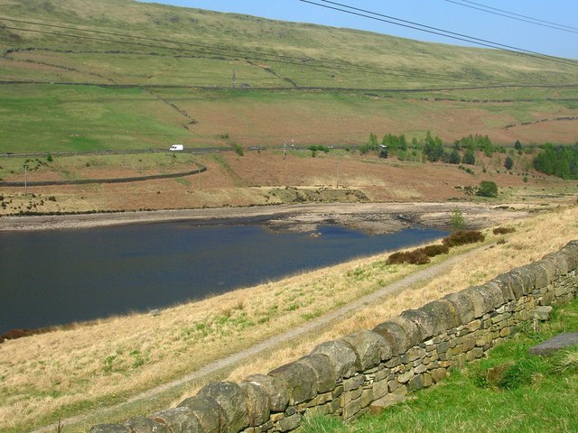
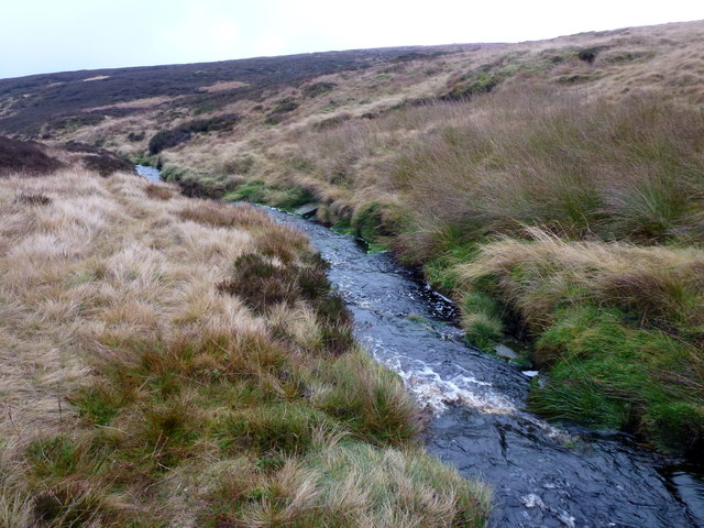
The river that flows through Stable Clough is called the Clough River, and it adds to the charm of the area. It is a tributary of the River Derwent and is known for its crystal-clear waters. The river is home to a variety of wildlife, including trout and small mammals.
Stable Clough offers numerous walking trails and paths, allowing visitors to explore the area's natural wonders. The valley is also known for its wildflowers, which paint the landscape with vibrant colors during the spring and summer months.
Overall, Stable Clough is a hidden gem in Derbyshire, offering a peaceful and idyllic escape from the hustle and bustle of everyday life. Whether one is looking to immerse themselves in nature or simply enjoy a leisurely stroll, Stable Clough has something to offer everyone.
If you have any feedback on the listing, please let us know in the comments section below.
Stable Clough Images
Images are sourced within 2km of 53.479721/-1.8515874 or Grid Reference SK0998. Thanks to Geograph Open Source API. All images are credited.


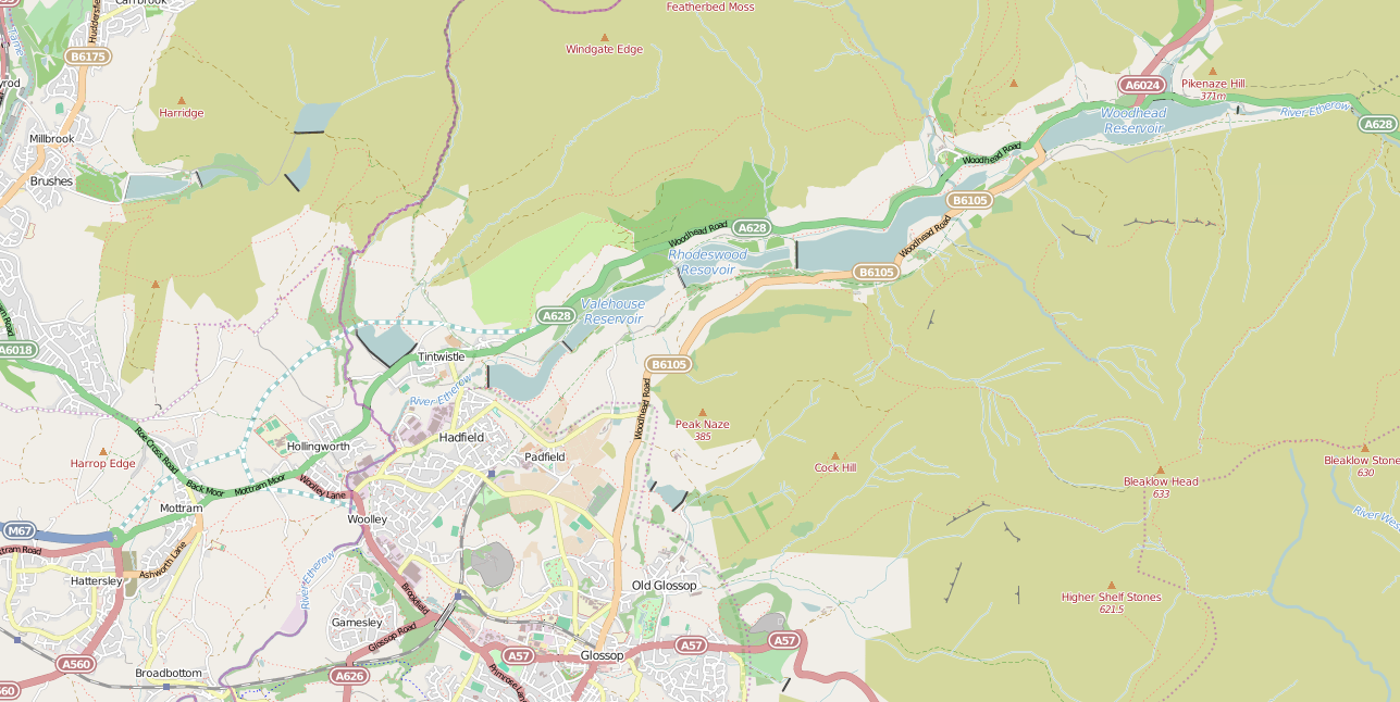
Stable Clough is located at Grid Ref: SK0998 (Lat: 53.479721, Lng: -1.8515874)
Administrative County: Derbyshire
District: High Peak
Police Authority: Derbyshire
What 3 Words
///vibrates.spun.nicknames. Near Glossop, Derbyshire
Nearby Locations
Related Wikis
Longdendale Chain
The Longdendale Chain is a sequence of six reservoirs on the River Etherow in the Longdendale Valley, in northern Derbyshire. They were constructed between...

Woodhead Reservoir
Woodhead reservoir is a man-made lake near the hamlet of Woodhead in Longdendale in north Derbyshire, England. It was constructed by John Frederick Bateman...
Woodhead, Derbyshire
Woodhead is a small and scattered settlement at the head of the Longdendale valley in Derbyshire, England. It lies on the trans-Pennine A628 road connecting...

Crowden railway station
Crowden railway station is a closed railway station on the Woodhead Line between Manchester and Sheffield, that served the hamlet of Crowden, Derbyshire...
Woodhead railway station
Woodhead railway station was a railway station that served the hamlet of Woodhead on the Woodhead Line. == History == The station was opened on 8 April...

Bleaklow
Bleaklow is a high, largely peat-covered, gritstone moorland in the Derbyshire High Peak near the town of Glossop. It is north of Kinder Scout, across...

Crowden, Derbyshire
Crowden (also known as Crowden-in-Longdendale) is a hamlet in the High Peak borough of Derbyshire, England. Historically a part of Cheshire, Crowden was...

Bleaklow Bomber
The Bleaklow Bomber was a US Air Force (USAF) Boeing RB-29A Superfortress that crashed near Higher Shelf Stones on Bleaklow in the Peak District in 1948...
Have you been to Stable Clough?
Leave your review of Stable Clough below (or comments, questions and feedback).