Deepdale
Valley in Staffordshire Staffordshire Moorlands
England
Deepdale
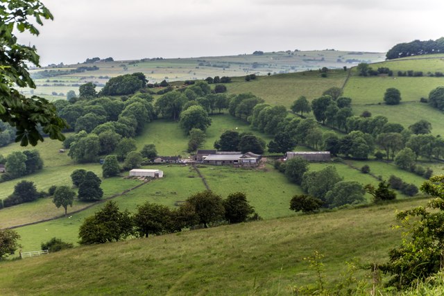
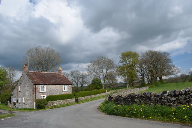
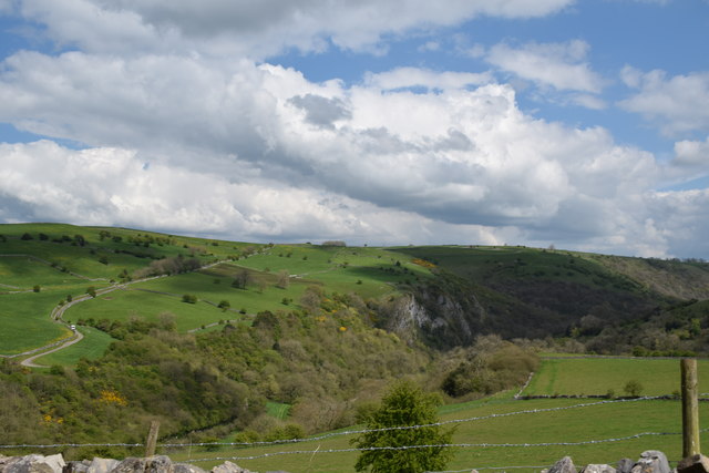
Deepdale is a picturesque valley located in the county of Staffordshire, England. Situated in the heart of the Midlands, this beautiful area is renowned for its serene natural beauty and rich historical significance.
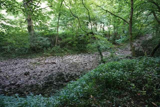
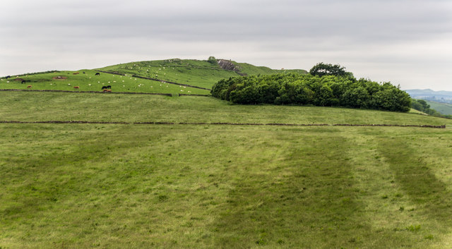
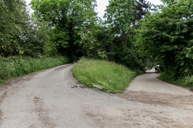
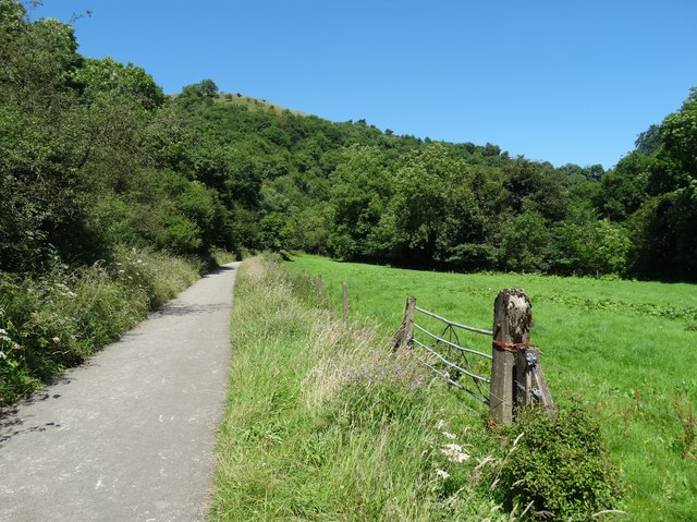
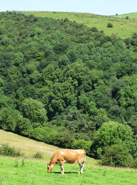
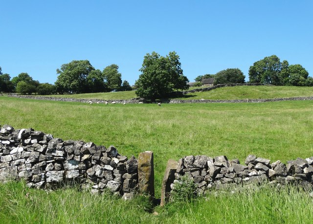
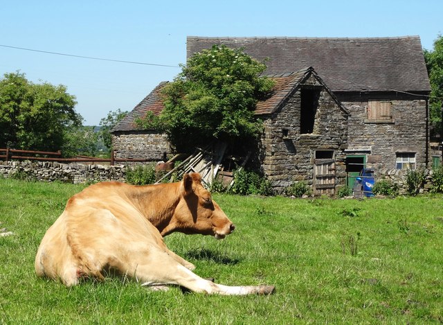
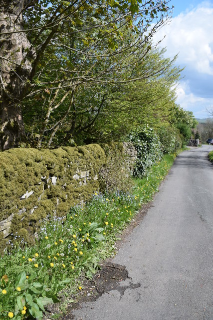
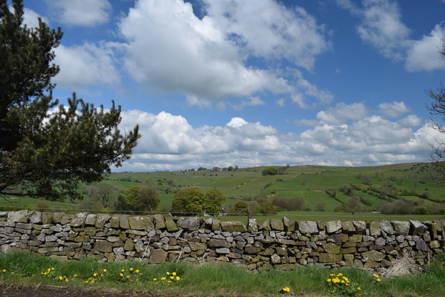
Nestled between rolling hills and lush greenery, Deepdale boasts stunning landscapes that captivate visitors all year round. The valley is traversed by a meandering river, which adds to its charm and tranquility. The area is home to a diverse range of flora and fauna, making it a haven for nature enthusiasts and wildlife lovers.
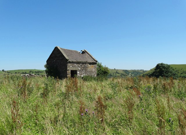
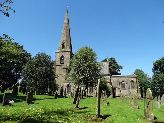
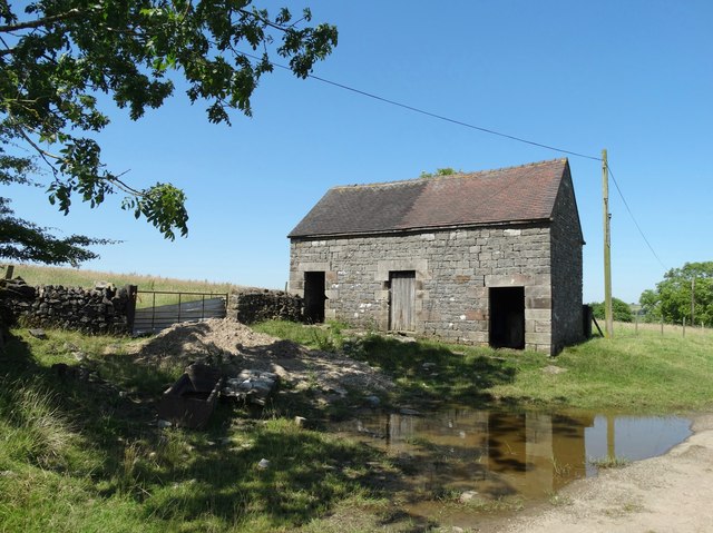
In addition to its natural treasures, Deepdale has a deep-rooted history. The valley was once a thriving hub for various industries, including mining and agriculture. Evidence of this industrial heritage can still be seen in the form of abandoned mine shafts and remnants of old buildings.
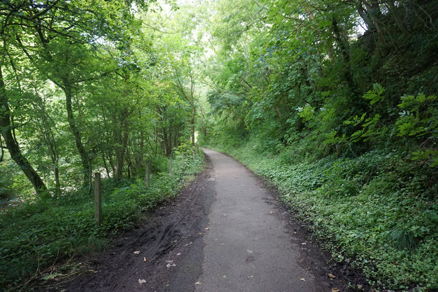
Today, Deepdale offers a range of recreational activities for visitors to enjoy. The valley is a popular destination for walking, hiking, and cycling, with numerous trails and paths winding through its enchanting scenery. The river also provides opportunities for fishing and boating.
For those seeking a peaceful escape from the hustle and bustle of city life, Deepdale is an idyllic retreat. Its unspoiled beauty, combined with its rich history, creates a unique and captivating experience for all who visit.
If you have any feedback on the listing, please let us know in the comments section below.
Deepdale Images
Images are sourced within 2km of 53.076089/-1.8742023 or Grid Reference SK0853. Thanks to Geograph Open Source API. All images are credited.


Deepdale is located at Grid Ref: SK0853 (Lat: 53.076089, Lng: -1.8742023)
Administrative County: Staffordshire
District: Staffordshire Moorlands
Police Authority: Staffordshire
What 3 Words
///escaping.inflating.curries. Near Leek, Staffordshire
Nearby Locations
Related Wikis

Grindon, Staffordshire
Grindon is a small village in the Staffordshire Peak District of England. == Geography == Grindon is situated near the southern end of the Peak District...

Sparrowlee railway station
Sparrowlee was the name of a railway station on the Leek and Manifold Valley Light Railway, a 2 ft 6 in (762 mm) narrow gauge line which ran for 8 miles...
Grindon railway station
Grindon railway station was a station on the Leek and Manifold Light Railway. It served the village of Grindon in Staffordshire. The site is now part of...
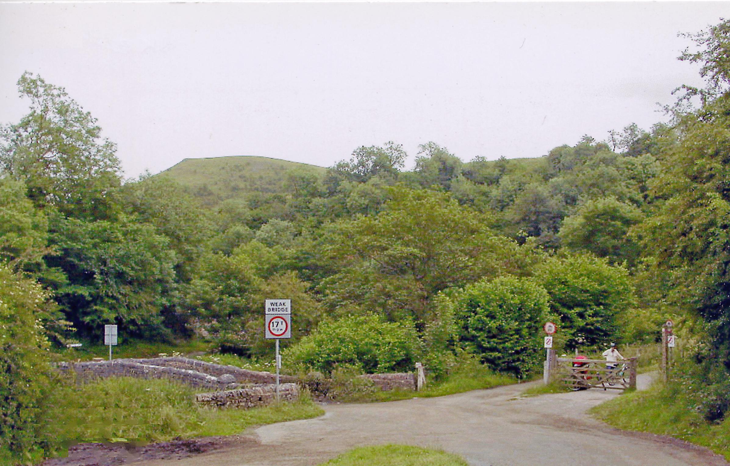
Manifold Way
The Manifold Way is a footpath and cycle way in Staffordshire, England. Some 8 miles (13 km) in length, it runs from Hulme End (53.1307°N 1.8480°W / 53...
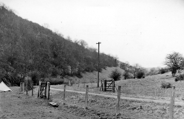
Beeston Tor railway station
Beeston Tor railway station was a minor station which served the Beeston Tor in Grindon, Staffordshire. The site is now part of the Manifold Way. ��2...
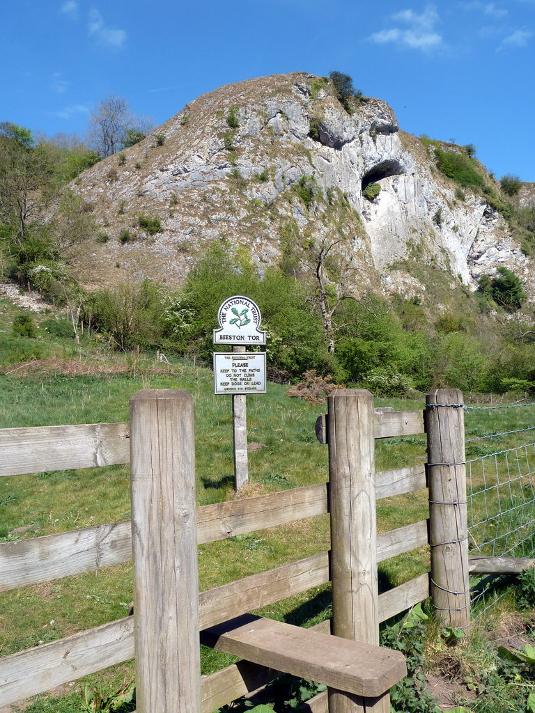
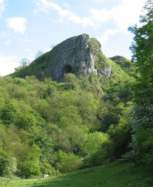
Beeston Tor
Beeston Tor (grid reference SK105540) is a limestone cliff in Staffordshire. It overlooks the confluence of the River Hamps with the River Manifold, and...
Thor's Cave
Thor's Cave (also known as Thor's House Cavern and Thyrsis's Cave) is a natural cavern located at SK09865496 in the Manifold Valley of the White Peak in...
Thor's Cave railway station
Thor's Cave railway station was a station on the Leek and Manifold Light Railway. Serving the landmark Thor's Cave in Grindon and Wetton. The station site...
Nearby Amenities
Located within 500m of 53.076089,-1.8742023Have you been to Deepdale?
Leave your review of Deepdale below (or comments, questions and feedback).