Fair Vage Clough
Valley in Derbyshire High Peak
England
Fair Vage Clough
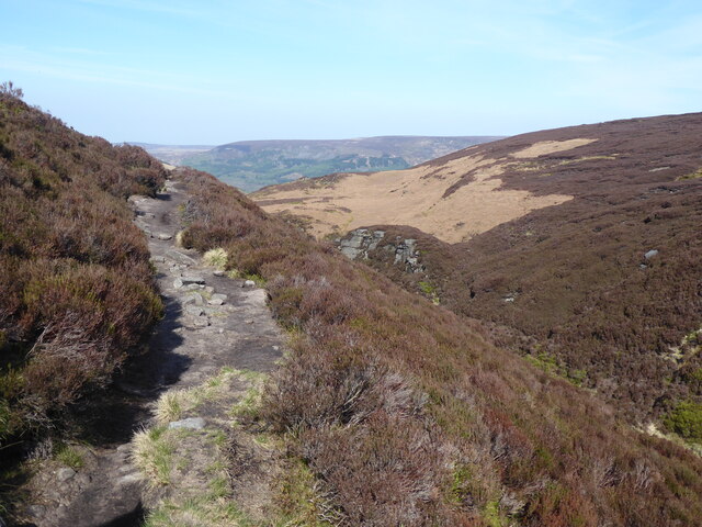
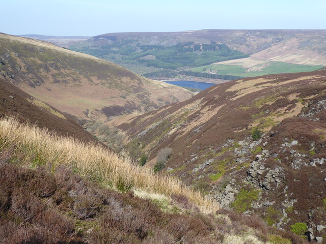
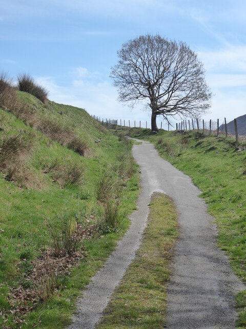
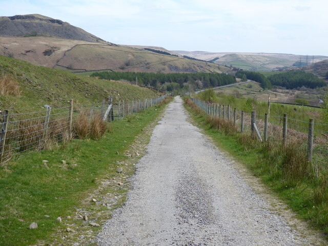
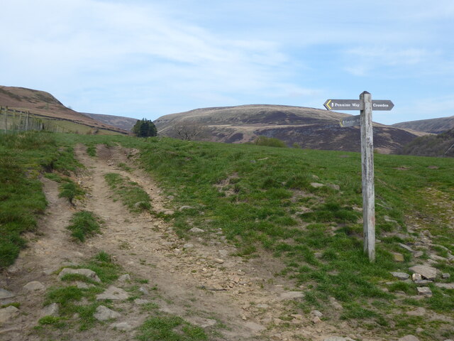
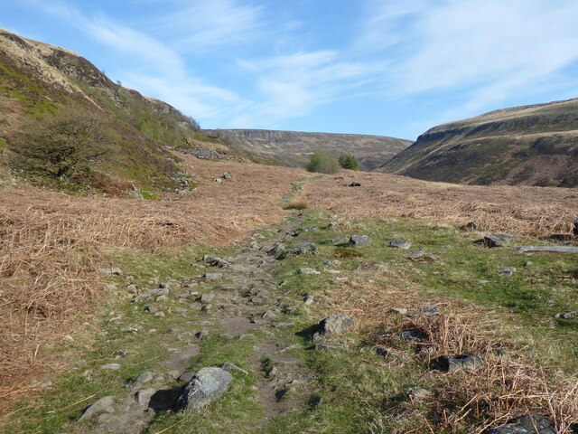
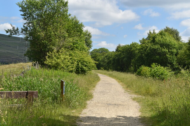
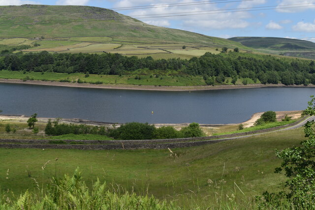
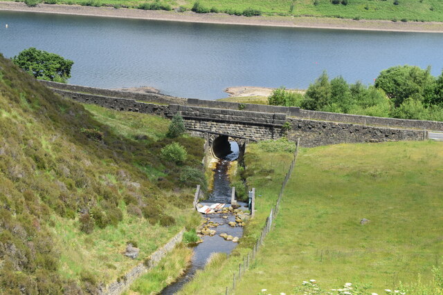
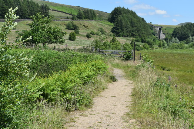
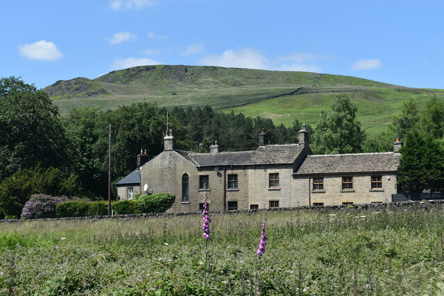
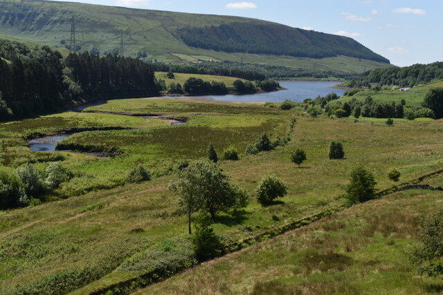
Fair Vage Clough is a picturesque valley located in the county of Derbyshire, England. Situated within the Peak District National Park, it is known for its stunning natural beauty and tranquil surroundings. The valley is nestled between rolling hills and is traversed by a small river that adds to its charm.
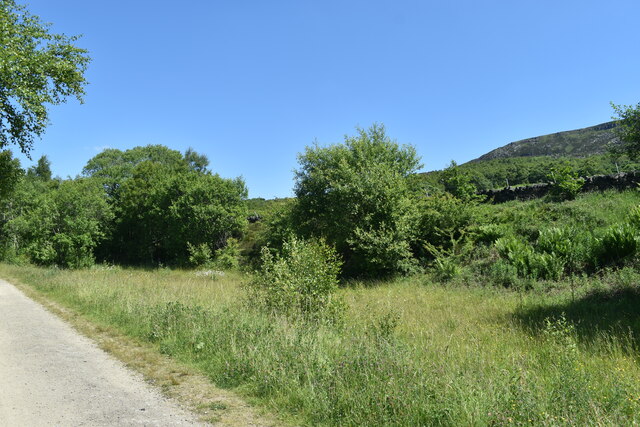
The name "Fair Vage Clough" originates from the Old English words "fæger" and "wæg," meaning beautiful and valley respectively. This is an apt description, as the area is indeed a sight to behold. Lush green meadows, scattered with vibrant wildflowers during the spring and summer months, stretch out on either side of the river. The valley is also adorned with ancient oak and beech trees, which provide shade and enhance the idyllic atmosphere.
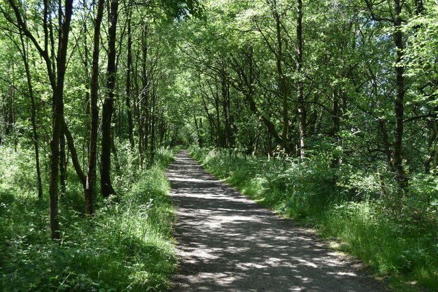
Fair Vage Clough is a haven for nature enthusiasts and outdoor adventurers. The valley offers numerous walking and hiking trails, allowing visitors to explore its natural wonders at their own pace. The gentle slopes of the surrounding hills make it an ideal spot for leisurely walks, while the more adventurous can embark on more challenging hikes to witness panoramic views of the surrounding countryside.
Besides its natural beauty, Fair Vage Clough is also home to a diverse range of wildlife. Keen-eyed visitors may spot roe deer, badgers, and a variety of bird species, including buzzards and kingfishers. The river that winds through the valley is also known to harbor brown trout, attracting fishing enthusiasts.
In summary, Fair Vage Clough is a captivating valley in Derbyshire, offering a serene escape from bustling city life. Its scenic landscapes, abundant wildlife, and recreational opportunities make it a must-visit destination for nature lovers and those seeking peace and tranquility.
If you have any feedback on the listing, please let us know in the comments section below.
Fair Vage Clough Images
Images are sourced within 2km of 53.484568/-1.8776109 or Grid Reference SK0898. Thanks to Geograph Open Source API. All images are credited.
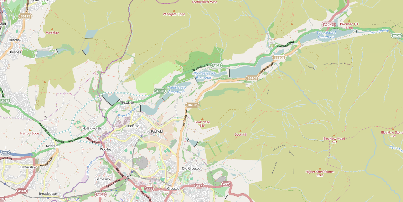
Fair Vage Clough is located at Grid Ref: SK0898 (Lat: 53.484568, Lng: -1.8776109)
Administrative County: Derbyshire
District: High Peak
Police Authority: Derbyshire
What 3 Words
///enclosing.trample.expert. Near Glossop, Derbyshire
Nearby Locations
Related Wikis

Crowden railway station
Crowden railway station is a closed railway station on the Woodhead Line between Manchester and Sheffield, that served the hamlet of Crowden, Derbyshire...

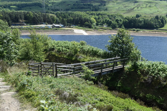
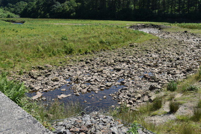
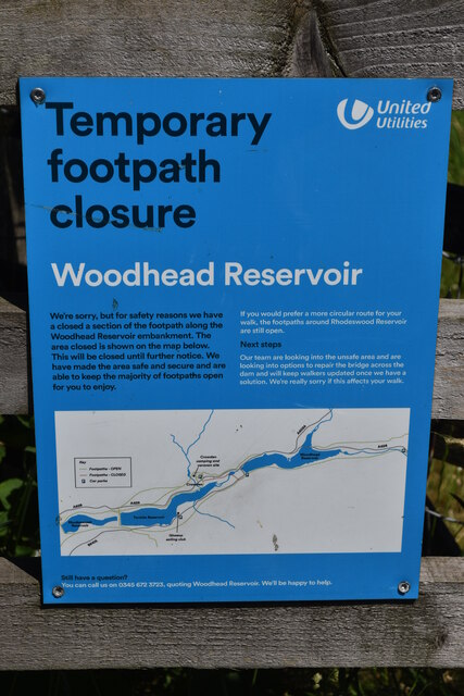
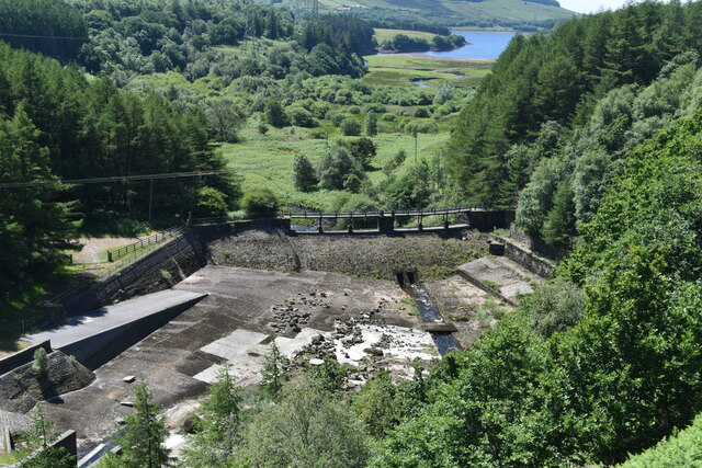
Woodhead Reservoir
Woodhead reservoir is a man-made lake near the hamlet of Woodhead in Longdendale in north Derbyshire, England. It was constructed by John Frederick Bateman...

Crowden, Derbyshire
Crowden (also known as Crowden-in-Longdendale) is a hamlet in the High Peak borough of Derbyshire, England. Historically a part of Cheshire, Crowden was...
Longdendale Chain
The Longdendale Chain is a sequence of six reservoirs on the River Etherow in the Longdendale Valley, in northern Derbyshire. They were constructed between...
Nearby Amenities
Located within 500m of 53.484568,-1.8776109Have you been to Fair Vage Clough?
Leave your review of Fair Vage Clough below (or comments, questions and feedback).