Wigan Clough
Valley in Derbyshire High Peak
England
Wigan Clough
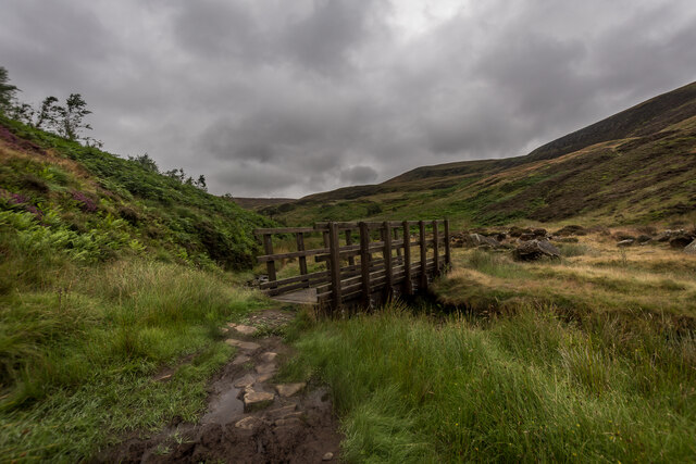
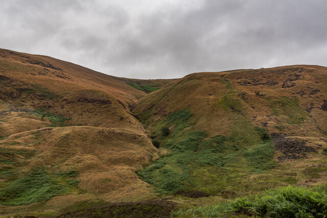
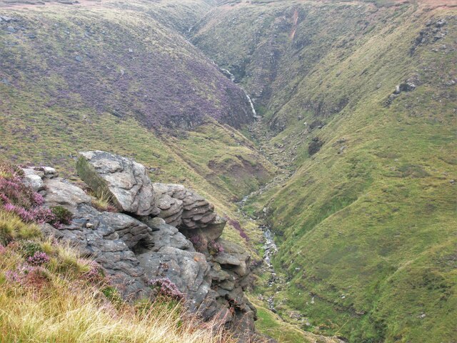
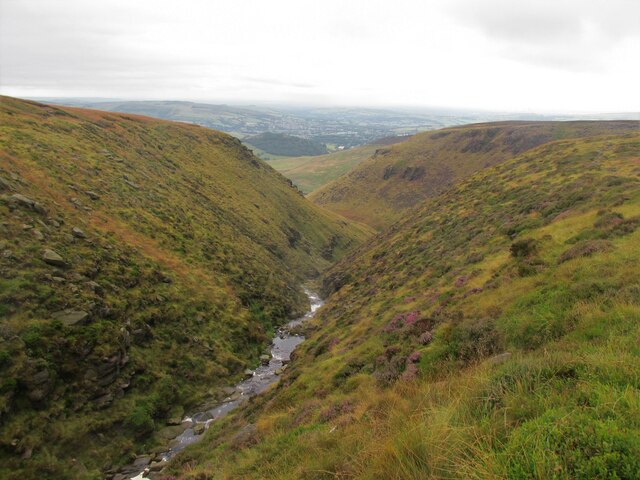
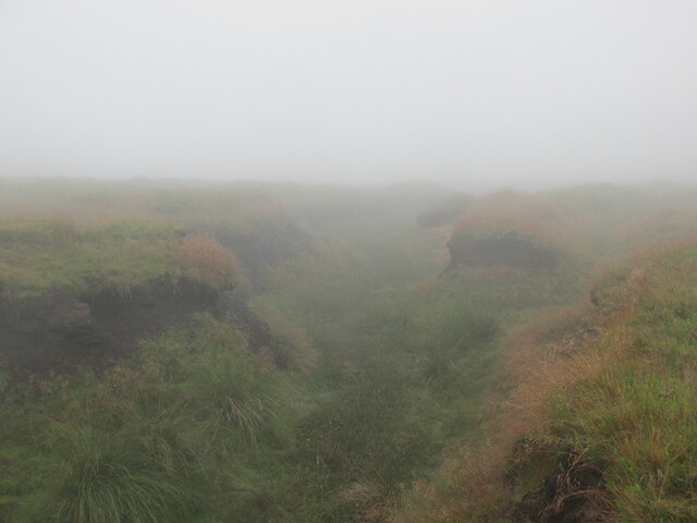
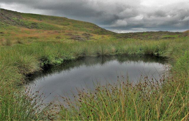
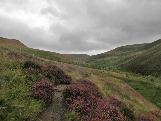
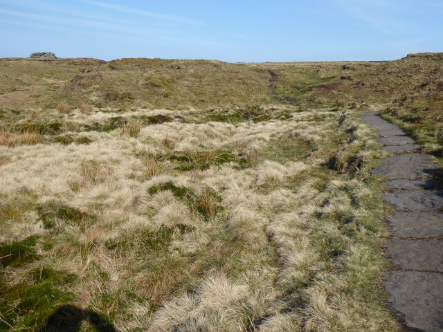
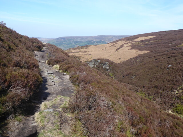
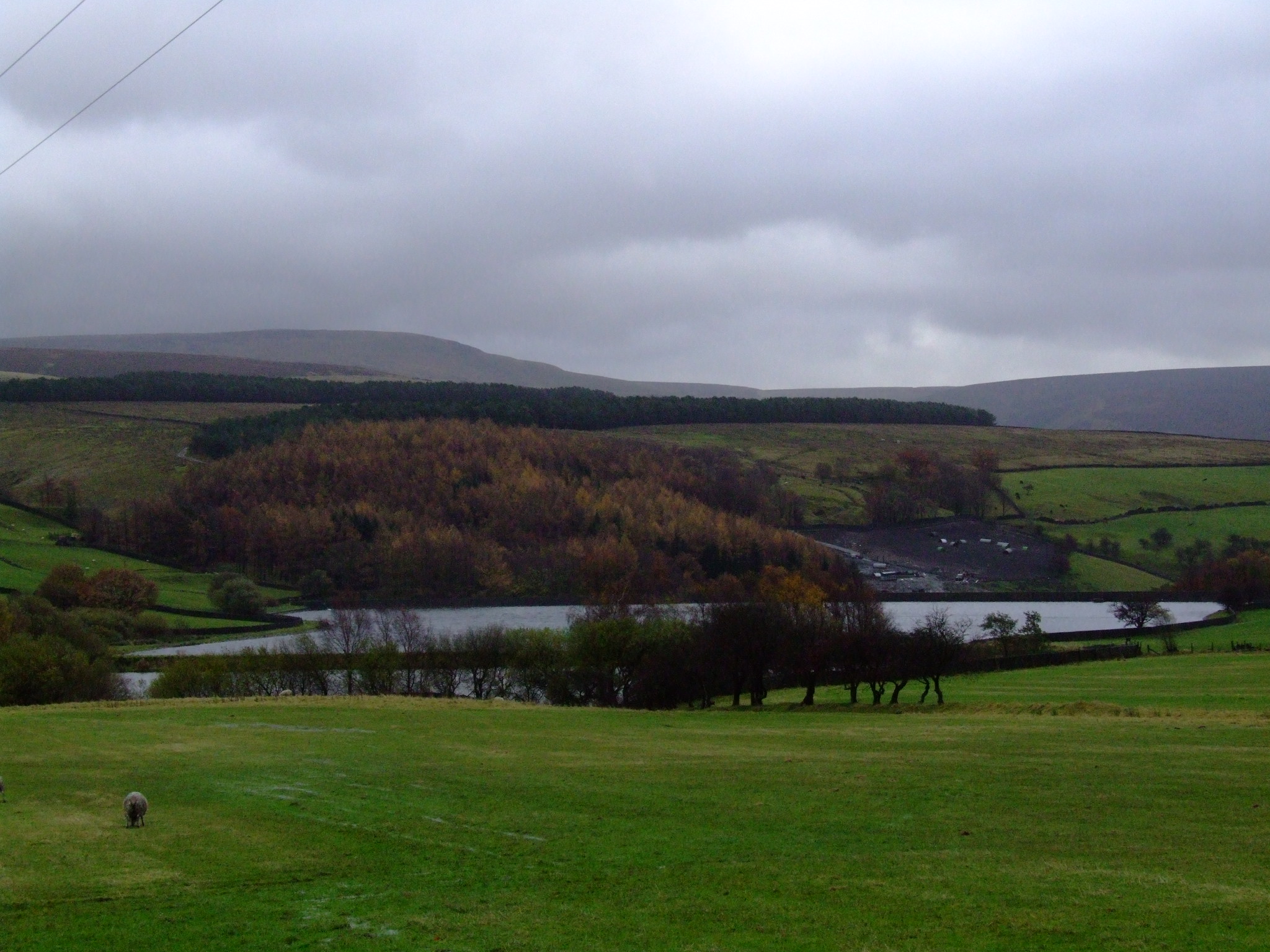
Wigan Clough is a picturesque valley located in the county of Derbyshire, England. Situated in the Peak District National Park, it is known for its stunning natural beauty and diverse wildlife. The valley is surrounded by rolling hills and dense woodlands, creating a tranquil and serene atmosphere.
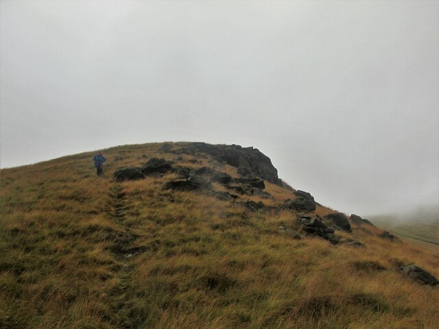
Wigan Clough is famous for its scenic walking trails, attracting hikers and nature enthusiasts from near and far. The valley is home to a variety of wildlife, including birds, rabbits, and deer, making it a popular spot for birdwatching and wildlife photography.
The valley is crossed by a meandering stream, which adds to the charm of the landscape and provides a peaceful soundtrack for visitors. The stream is also a perfect spot for paddling and picnicking on warm summer days.
Wigan Clough is dotted with ancient trees and wildflowers, which come to life in the spring and summer months. Bluebells, primroses, and foxgloves create a colorful carpet across the valley, attracting visitors who appreciate the beauty of nature.
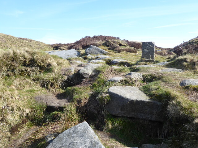
In addition to its natural beauty, Wigan Clough has historical significance. The valley was once home to a small farming community, and remnants of old stone walls and cottages can still be found, providing a glimpse into the area's past.
Overall, Wigan Clough is a hidden gem in Derbyshire, offering visitors a chance to escape the hustle and bustle of everyday life and immerse themselves in the tranquility of nature. Whether it's a leisurely walk, a picnic, or simply enjoying the beauty of the surroundings, Wigan Clough is a must-visit destination for nature lovers.
If you have any feedback on the listing, please let us know in the comments section below.
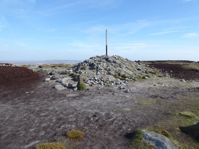
Wigan Clough Images
Images are sourced within 2km of 53.453845/-1.886659 or Grid Reference SK0795. Thanks to Geograph Open Source API. All images are credited.


Wigan Clough is located at Grid Ref: SK0795 (Lat: 53.453845, Lng: -1.886659)
Administrative County: Derbyshire
District: High Peak
Police Authority: Derbyshire
What 3 Words
///solder.sands.underline. Near Glossop, Derbyshire
Nearby Locations
Related Wikis

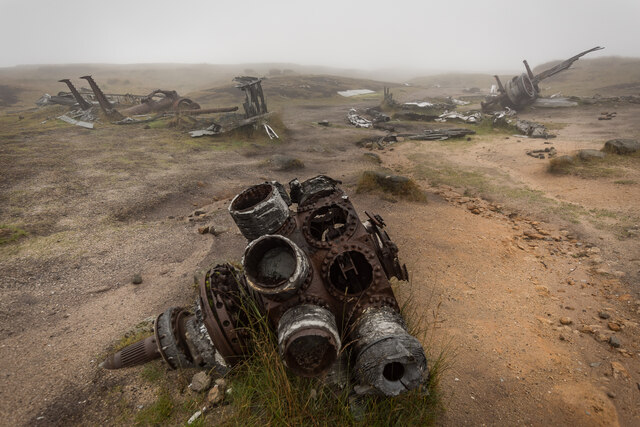
Bleaklow Bomber
The Bleaklow Bomber was a US Air Force (USAF) Boeing RB-29A Superfortress that crashed near Higher Shelf Stones on Bleaklow in the Peak District in 1948...

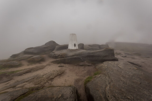
Bleaklow
Bleaklow is a high, largely peat-covered, gritstone moorland in the Derbyshire High Peak near the town of Glossop. It is north of Kinder Scout, across...

Mossy Lea Reservoir
Mossy Lea Reservoir is a disused reservoir near Glossop, north Derbyshire. In 1837, 50 local millowners and gentlemen, known as the "Glossop Commissioners...

Hurst Reservoir
Hurst Reservoir is a former, now disused, reservoir near Glossop, north Derbyshire. == History == In 1837, 50 local millowners and gentlemen, known as...

Snake Pass
Snake Pass is a hill pass in the Derbyshire section of the Peak District, crossing the Pennines between Glossop and the Ladybower Reservoir at Ashopton...

Torside Reservoir
Torside Reservoir is the largest man-made lake in Longdendale in north Derbyshire, England. It was constructed by John Frederick Bateman between April...
Swineshaw Reservoir (Derbyshire)
For the reservoirs near Stalybridge, in Tameside, Greater Manchester, see Higher Swineshaw Reservoir and Lower Swineshaw Reservoir Swineshaw Reservoir...

Longdendale Trail
The Longdendale Trail is an English long-distance rail trail following the former Woodhead railway line, which ran between Manchester and Sheffield and...
Nearby Amenities
Located within 500m of 53.453845,-1.886659Have you been to Wigan Clough?
Leave your review of Wigan Clough below (or comments, questions and feedback).