Caygill Scar
Valley in Yorkshire Richmondshire
England
Caygill Scar

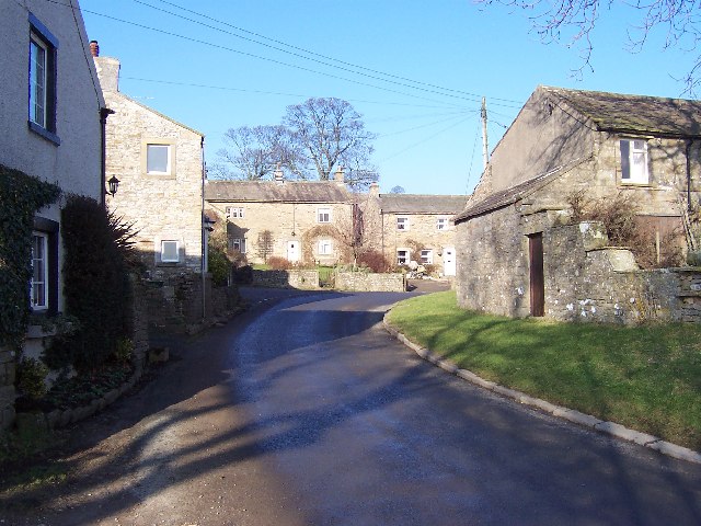
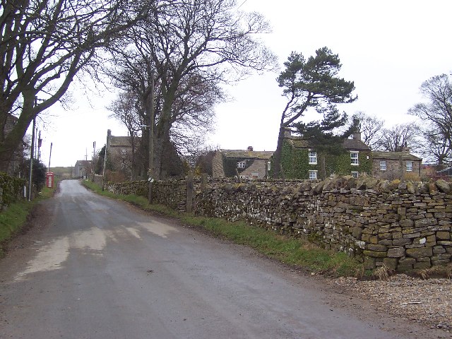
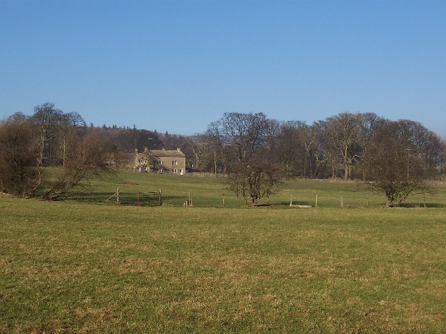
Caygill Scar is a picturesque valley located in the Yorkshire Dales National Park in Yorkshire, England. Nestled between the rolling hills and craggy cliffs, this hidden gem offers breathtaking views and a serene atmosphere for outdoor enthusiasts and nature lovers.
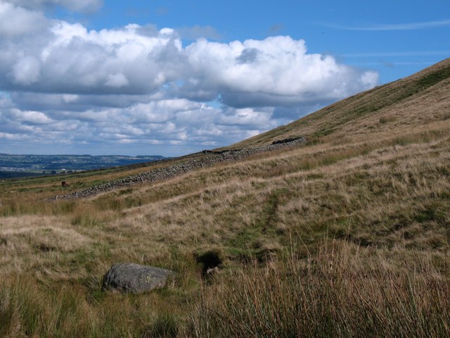
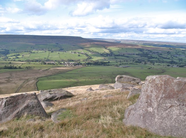
The valley is known for its dramatic limestone cliffs, which rise up to 100 meters, providing a stunning backdrop to the lush greenery and meandering streams that flow through the valley floor. The scar itself is a result of the erosive forces of glaciers during the last Ice Age, leaving behind a steep-sided gorge with a narrow, winding path.
The landscape of Caygill Scar is abundant with diverse flora and fauna. The valley is home to a variety of wildflowers, including bluebells, primroses, and orchids, which carpet the meadows in vibrant colors during the spring and summer months. Wildlife such as red squirrels, badgers, and several bird species can also be spotted in the area.
For those seeking outdoor activities, Caygill Scar offers excellent opportunities for hiking and walking. There are several well-marked trails that wind through the valley and provide access to stunning viewpoints. The scar is also a popular spot for rock climbing, with its sheer limestone cliffs providing a challenging and exhilarating experience for climbers of all levels.
Visitors to Caygill Scar can enjoy a peaceful retreat away from the hustle and bustle of city life, immersing themselves in the natural beauty and tranquility of this idyllic Yorkshire valley.
If you have any feedback on the listing, please let us know in the comments section below.
Caygill Scar Images
Images are sourced within 2km of 54.251818/-1.8889076 or Grid Reference SE0784. Thanks to Geograph Open Source API. All images are credited.


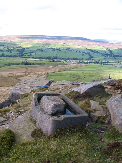
![Moorland at Little Stockiner Poorly drained moorland on shales above West Scrafton. The view is up Coverdale towards the distant outlines of Little and Great Whernside [both left of centre].](https://s0.geograph.org.uk/geophotos/03/14/60/3146004_b43739da.jpg)


Caygill Scar is located at Grid Ref: SE0784 (Lat: 54.251818, Lng: -1.8889076)
Division: North Riding
Administrative County: North Yorkshire
District: Richmondshire
Police Authority: North Yorkshire
What 3 Words
///snaps.bench.beep. Near Leyburn, North Yorkshire
Nearby Locations
Related Wikis
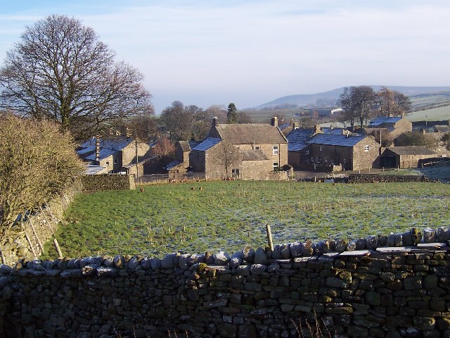
West Scrafton
West Scrafton is a village and civil parish in Coverdale in the Yorkshire Dales, England. It is located 4 miles (6.4 km) south west of Leyburn. It falls...
Carlton, Richmondshire
Carlton is a village in the civil parish of Carlton Town in the Richmondshire district of North Yorkshire, England. According to the 2011 Census it had...

Coverdale, North Yorkshire
Coverdale is a dale in the far east of the Yorkshire Dales, North Yorkshire, England. It takes its name from the River Cover, a tributary of the River...
Melmerby in Coverdale
Melmerby is a village and civil parish in North Yorkshire, England. It lies in Coverdale in the Yorkshire Dales about 3 miles (4.8 km) south-west of Leyburn...

East Scrafton
East Scrafton is a hamlet in the Yorkshire Dales in the Richmondshire district of North Yorkshire, England. It is about 3 miles (5 km) south-west of Leyburn...
Gammersgill
Gammersgill is a hamlet in Coverdale in the Yorkshire Dales, North Yorkshire, England. It is about 7 miles (11 km) south-west of Leyburn. The toponym is...

Caldbergh
Caldbergh (Caldeber in the Domesday Book) is a hamlet within the Yorkshire Dales, North Yorkshire, England. It lies about four miles south of Leyburn....

Caldbergh with East Scrafton
Caldbergh with East Scrafton is a civil parish in the Richmondshire district of North Yorkshire, England. The parish includes the settlements of Caldbergh...
Nearby Amenities
Located within 500m of 54.251818,-1.8889076Have you been to Caygill Scar?
Leave your review of Caygill Scar below (or comments, questions and feedback).