Loadley Clough
Valley in Yorkshire
England
Loadley Clough

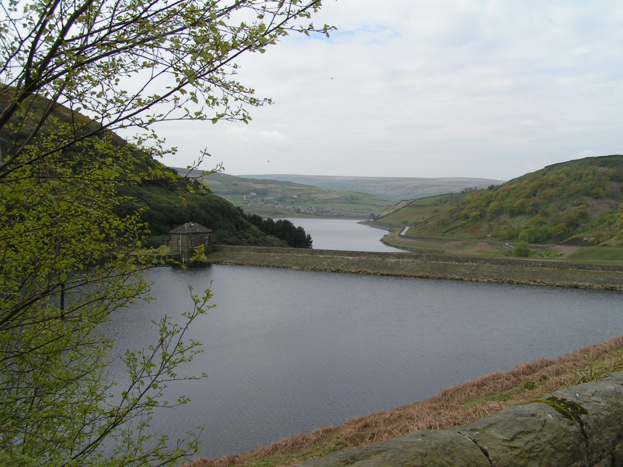
Loadley Clough is a picturesque valley located in the county of Yorkshire, England. Nestled amidst the rolling hills and verdant landscapes of the Yorkshire Dales National Park, it is a haven of natural beauty and tranquility. The valley stretches for approximately two miles, with the meandering Clough Beck stream running through its heart.
The landscape of Loadley Clough is characterized by its steep slopes, dense woodlands, and lush meadows. The valley is home to a diverse range of flora and fauna, with a rich variety of plant species, including bluebells, ferns, and wild orchids, decorating the forest floor. The woodlands also provide a habitat for an array of wildlife, such as deer, foxes, and a wide variety of bird species, making it a popular spot for nature enthusiasts and birdwatchers.
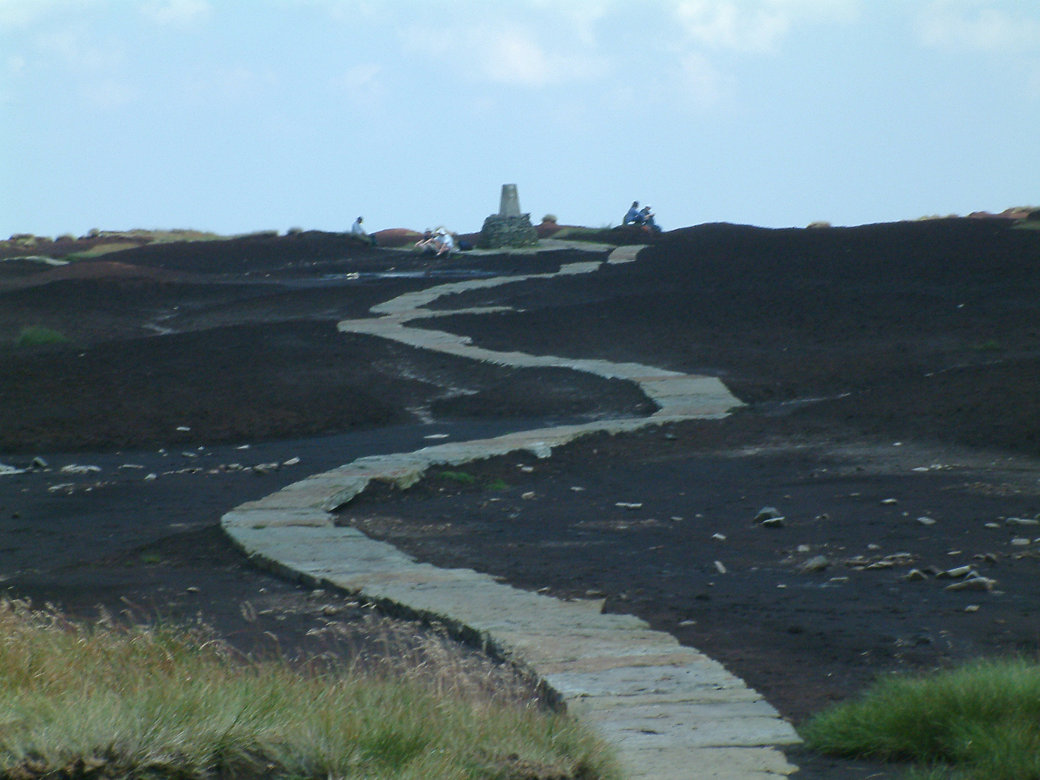
Traversing the valley is a network of walking trails, allowing visitors to explore the natural wonders of Loadley Clough. These trails offer breathtaking views of the surrounding countryside, as well as opportunities for picnicking, photography, and simply enjoying the serenity of the area.
Loadley Clough also boasts historical significance, with remnants of ancient settlements and stone circles scattered throughout the valley. These archaeological sites provide a glimpse into the area's past, offering a fascinating insight into the lives and traditions of the early inhabitants of Yorkshire.
Overall, Loadley Clough is a hidden gem in Yorkshire, offering visitors a chance to immerse themselves in the beauty of nature, explore its rich biodiversity, and connect with the region's rich history.
If you have any feedback on the listing, please let us know in the comments section below.
Loadley Clough Images
Images are sourced within 2km of 53.559999/-1.8978645 or Grid Reference SE0607. Thanks to Geograph Open Source API. All images are credited.


Loadley Clough is located at Grid Ref: SE0607 (Lat: 53.559999, Lng: -1.8978645)
Division: West Riding
Unitary Authority: Kirklees
Police Authority: West Yorkshire
What 3 Words
///custodian.meal.otherwise. Near Marsden, West Yorkshire
Nearby Locations
Related Wikis
Black Hill (Peak District)
Black Hill, in the Peak District, is the highest hill in West Yorkshire, England. Its summit has a maximum elevation of 582 m (1,909 ft) above sea level...

Holmfirth floods
The Holmfirth floods were a number of instances when severe flooding had occurred in the Holme Valley, West Yorkshire, England affecting Holmfirth and...
Wessenden Valley
The Wessenden Valley is a moorland valley in the Dark Peak, immediately south of Marsden in West Yorkshire, England. The name Wessenden derives from Old...

Holme Moss transmitting station
The Holme Moss transmitting station is a radio transmitting station at Holme Moss in West Yorkshire, England. The mast provides VHF coverage of both FM...
Digley Reservoir
Digley Reservoir is a lake located downstream of Bilberry Reservoir, 2 miles (3.2 km) south west of Holmfirth, in West Yorkshire, England. The reservoir...
Butterley Reservoir, West Yorkshire
Butterley Reservoir is a reservoir located near Marsden, West Yorkshire, near the Peak District National Park boundary. It was completed in 1906. The reservoir...

Holme Moss
Holme Moss (1,719 feet or 524 metres a.s.l.) is high moorland on the border between the Holme Valley district of Kirklees in West Yorkshire and the High...

Holme, West Yorkshire
Holme is a village in the Holme Valley civil parish of Kirklees in West Yorkshire, England. The village straddles the A6024 road between Holmbridge and...
Have you been to Loadley Clough?
Leave your review of Loadley Clough below (or comments, questions and feedback).