Ashes Gill
Valley in Durham
England
Ashes Gill
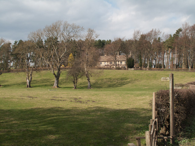
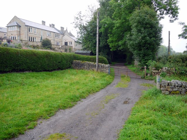
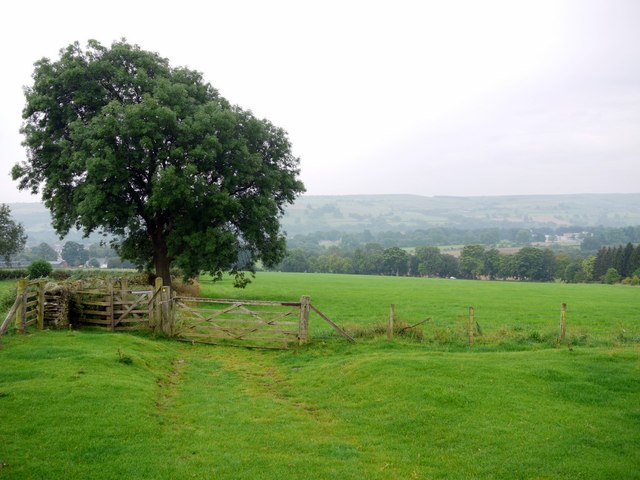
Ashes Gill, also known as Ashes Gill Valley, is a picturesque area located in County Durham, England. The valley is situated within the larger North Pennines Area of Outstanding Natural Beauty, renowned for its stunning landscapes and diverse wildlife.
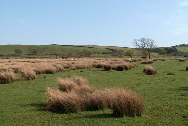
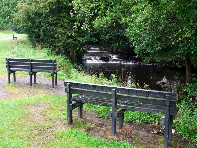
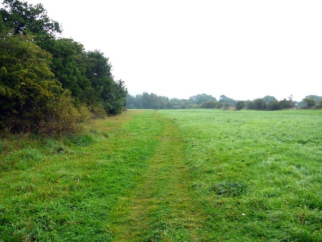
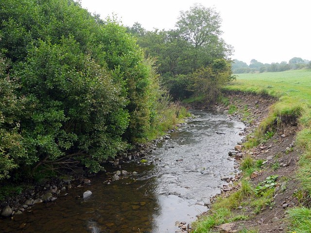
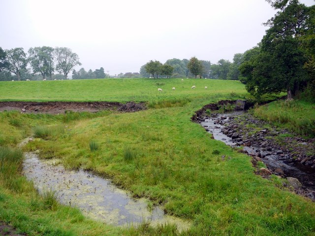
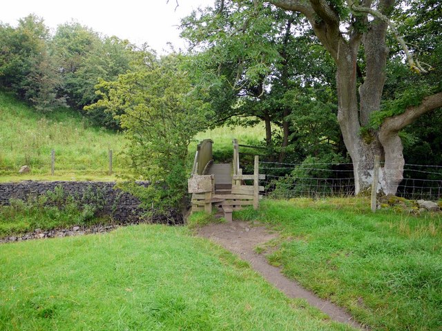
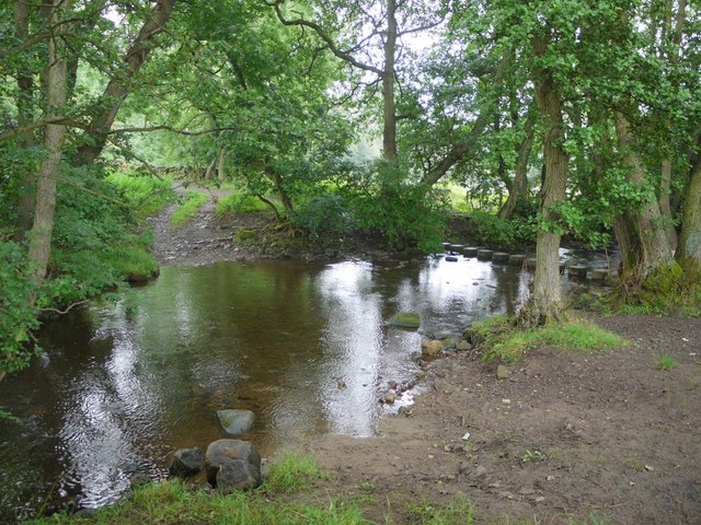
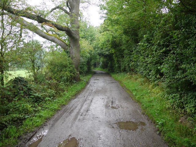
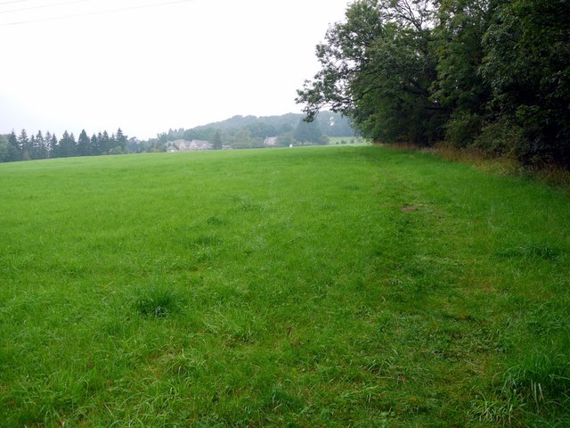
Ashes Gill is characterized by its tranquil atmosphere and rural charm. The valley is nestled between rolling hills and is intersected by a small stream, which adds to its scenic beauty. The stream meanders through the valley, cascading over rocks and creating small waterfalls along its course.
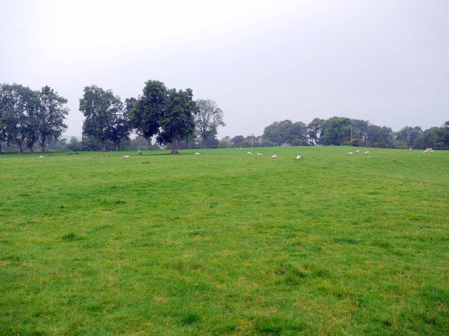
The area is known for its rich biodiversity and is home to a variety of plant and animal species. It provides a habitat for numerous bird species, including the dipper and grey wagtail, as well as mammals such as otters and badgers. The valley's lush vegetation includes a mix of woodland, heathland, and grassland, which further enhances its natural appeal.
Ashes Gill is a popular destination for nature lovers and hikers, who can explore the area through a network of walking trails. These trails offer visitors the opportunity to immerse themselves in the beauty of the countryside, taking in panoramic views of the surrounding hills and valleys.
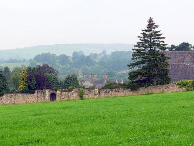
In addition to its natural attractions, Ashes Gill also has historical significance. The valley has evidence of human settlement dating back to the Bronze Age, with archaeological remains and ancient features scattered throughout the area.
Overall, Ashes Gill is a haven of natural beauty, offering visitors the chance to escape the hustle and bustle of urban life and immerse themselves in a serene and idyllic countryside setting.
If you have any feedback on the listing, please let us know in the comments section below.
Ashes Gill Images
Images are sourced within 2km of 54.722766/-1.8954514 or Grid Reference NZ0636. Thanks to Geograph Open Source API. All images are credited.

Ashes Gill is located at Grid Ref: NZ0636 (Lat: 54.722766, Lng: -1.8954514)
Unitary Authority: County Durham
Police Authority: Durham
What 3 Words
///storyline.shut.nibbled. Near Wolsingham, Co. Durham
Nearby Locations
Related Wikis
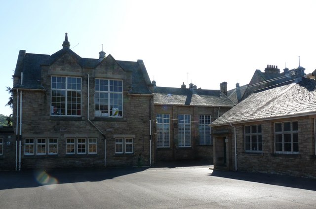
Wolsingham School
Wolsingham School is a coeducational secondary school located in Wolsingham, County Durham, England.The school is situated just off the A689, and near...

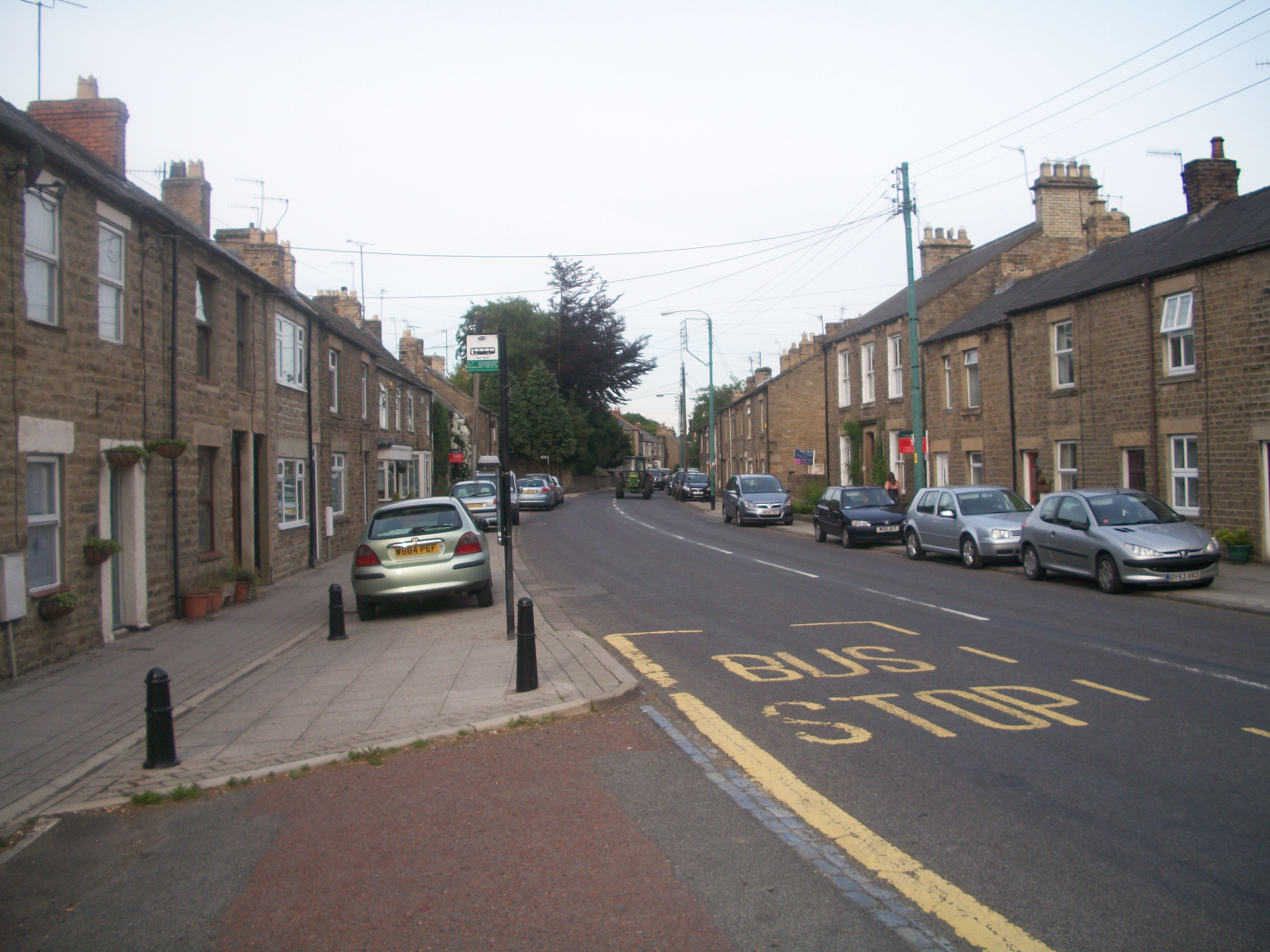
Wolsingham
Wolsingham is a market town in Weardale, County Durham, England. It is situated by the River Wear, between Crook and Stanhope. == History == Wolsingham...

Weardale
Weardale is a dale, or valley, on the east side of the Pennines in County Durham, England. Large parts of Weardale fall within the North Pennines Area...

Wear Valley
Wear Valley was, from 1974 to 2009, a local government district in County Durham, England. Its council and district capital was Crook. The district covered...
Frosterley
Frosterley is a village in the civil parish of Stanhope, in County Durham, England. It is situated in Weardale, on the River Wear close to its confluence...
White Kirkley
White Kirkley is a small village in the civil parish of Stanhope, in County Durham, England. It's situated on the south side of Weardale, opposite Frosterley...

Backstone Bank and Baal Hill Woods
Backstone Bank and Baal Hill Woods is a Site of Special Scientific Interest in the County Durham district of Durham, England. It occupies the steep eastern...

Bridge End, County Durham
Bridge End is a hamlet in the civil parish of Stanhope, in County Durham, England. It is situated on the south bank of the River Wear, on the other side...
Related Videos
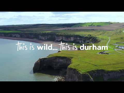
This is amazing.. this is the Durham Heritage Coast
Explore the colourful and dramatic landscape of Durham's Heritage Coast with its beaches, rugged cliffs and imposing headlands.
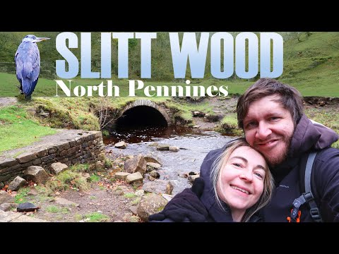
Slitt Wood walk | Weardale | County Durham
We didn't expect a walking companion on the way round Slitt Wood but it was a pleasant sight seeing this Heron follow us round.

Walking the Weardale Way // Wolsingham to Bollihope, via Elephant Trees
Join me as I walk a 7 mile section of the Weardale Way, from Wolsingham to Bollihope. Accompanied by husband Robbo.

In Search of a Kingfisher: A Relaxing River Walk. Just me, my camera and the wild.
So it's on my bucket list year to make a bit of an effort to capture a kingfisher on my camera. Although it's maybe a little early in the ...
Nearby Amenities
Located within 500m of 54.722766,-1.8954514Have you been to Ashes Gill?
Leave your review of Ashes Gill below (or comments, questions and feedback).