Barsey Clough

Valley in Yorkshire

England

Barsey Clough

No footpath through Sonoco plant
No footpath through Sonoco plant Credit: Chris Wimbush

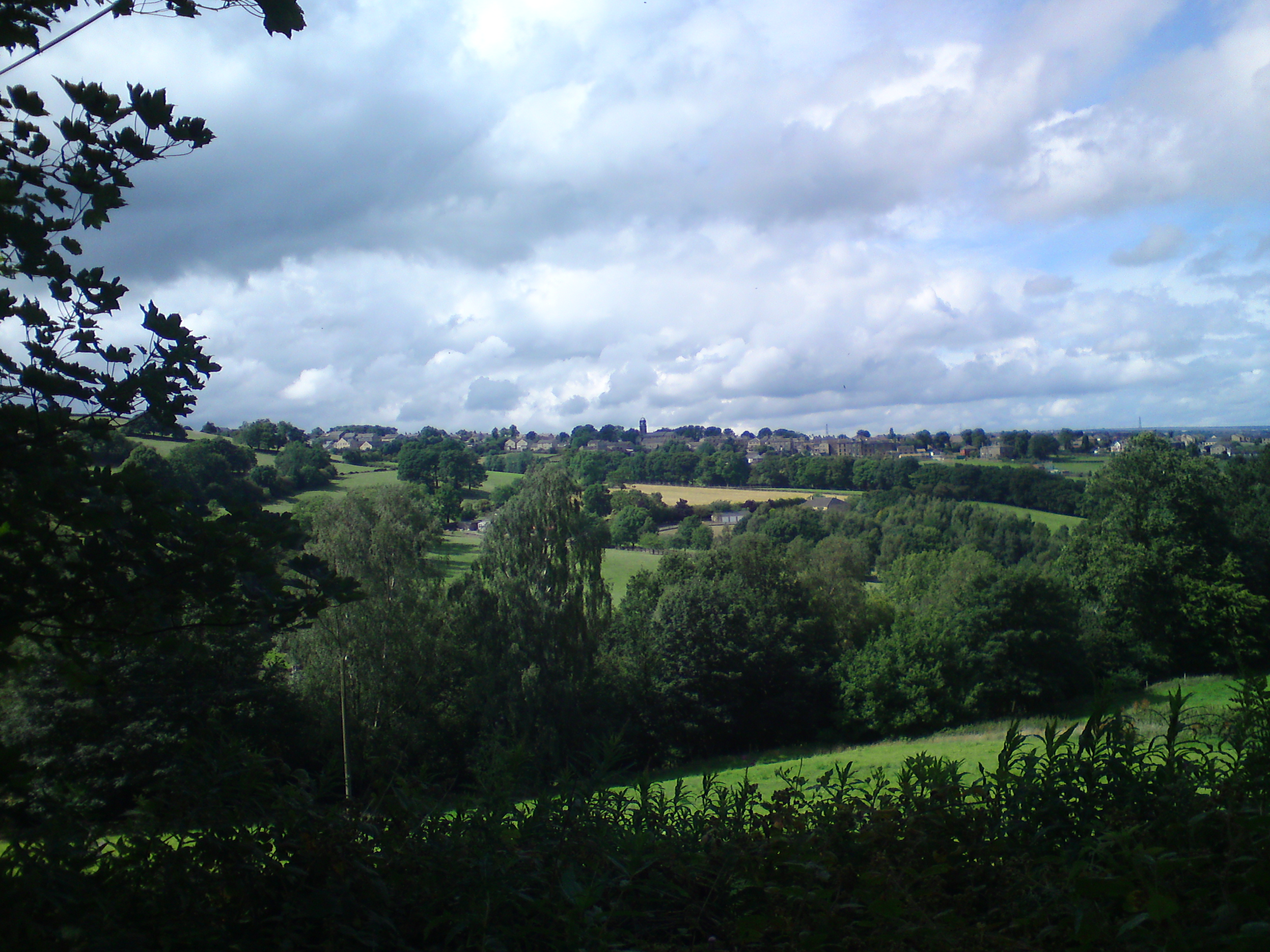
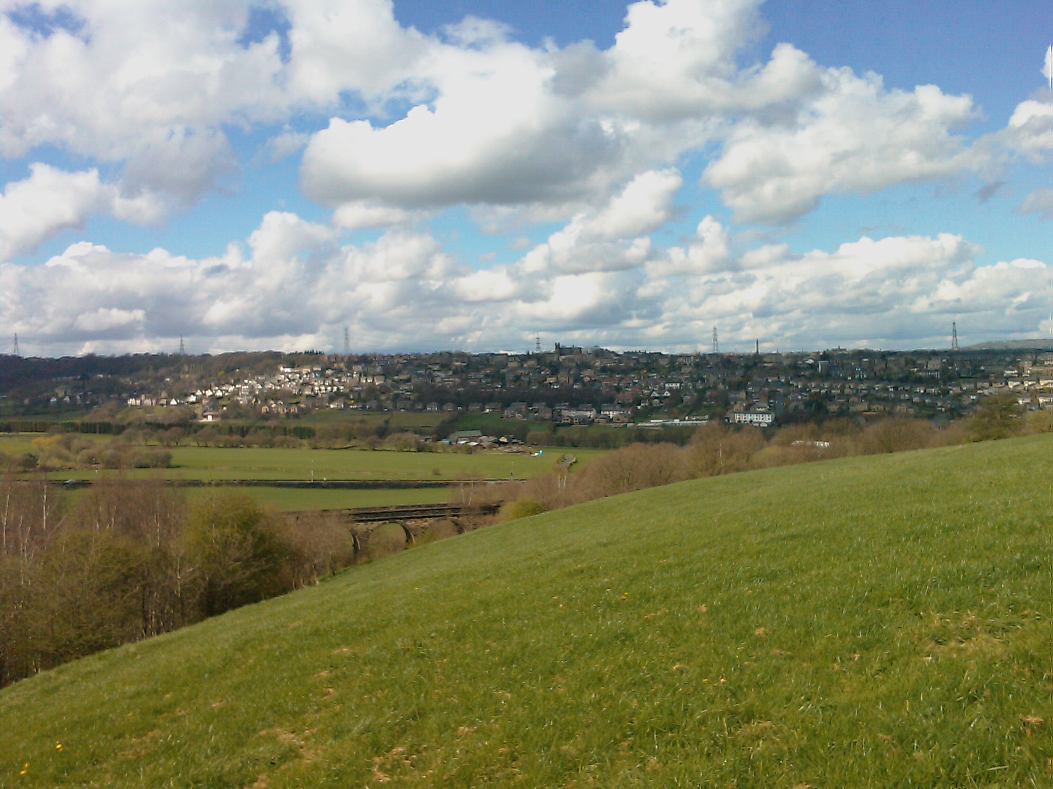
Barsey Clough is a picturesque valley located in the heart of Yorkshire, England. It is situated within the larger Barsey Moor area, known for its stunning natural beauty and tranquil atmosphere. The valley is characterized by its rolling hills, lush green meadows, and babbling brooks, making it an ideal destination for nature lovers and outdoor enthusiasts.

Barsey Clough is renowned for its diverse flora and fauna, with an abundance of wildflowers, including heather and bluebells, carpeting the meadows during the spring and summer months. The valley is also home to a variety of bird species, such as curlews, lapwings, and skylarks, making it a haven for birdwatchers.

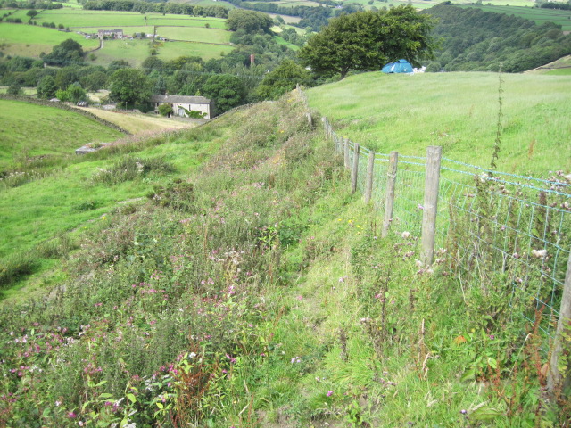
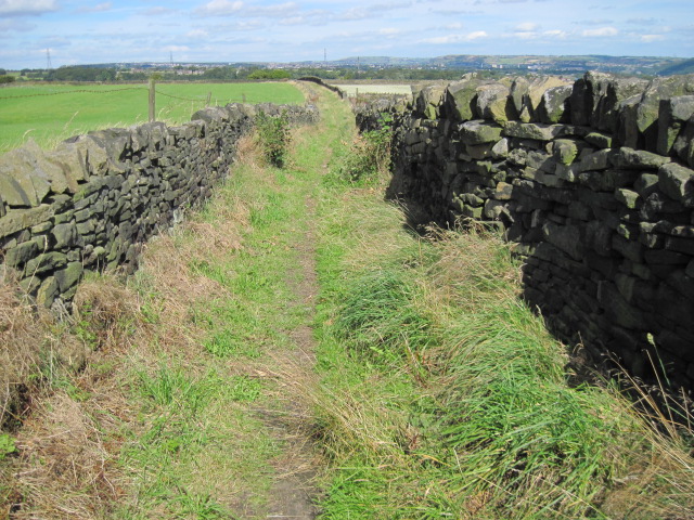
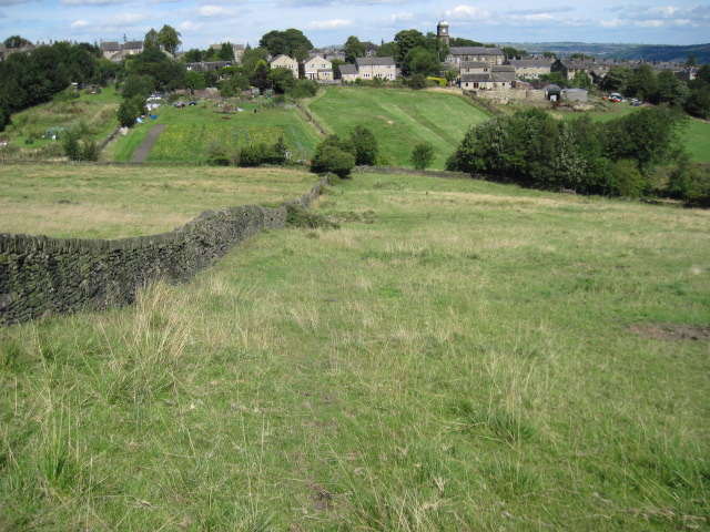
The valley is crisscrossed by a network of walking trails, offering visitors the opportunity to explore its beauty on foot. These trails wind through the valley, meandering alongside the brooks and providing breathtaking views of the surrounding countryside. The most popular route is the Barsey Clough Circular Walk, which takes hikers through a diverse range of landscapes, including woodlands, moorland, and open fields.

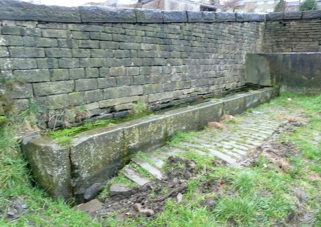
In addition to its natural charm, Barsey Clough also boasts a rich history. The remains of a medieval packhorse bridge can be found within the valley, providing a glimpse into its past. The bridge served as an important trade route during the Middle Ages, linking nearby villages and towns.

Overall, Barsey Clough is a hidden gem in Yorkshire, offering visitors a chance to escape the hustle and bustle of everyday life and immerse themselves in the beauty of nature. Whether it's for a leisurely stroll or a challenging hike, this tranquil valley provides a truly idyllic setting for outdoor exploration.

If you have any feedback on the listing, please let us know in the comments section below.

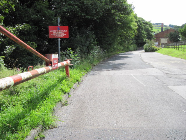
Barsey Clough Images

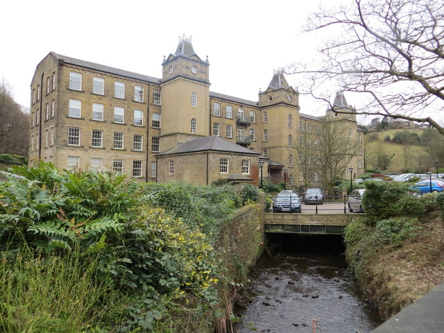
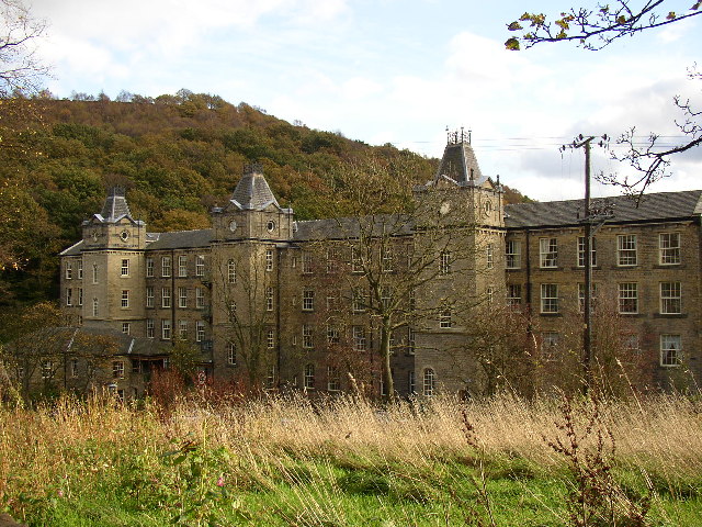
Images are sourced within 2km of 53.67888/-1.9007268 or Grid Reference SE0620. Thanks to Geograph Open Source API. All images are credited.

No footpath through Sonoco plant
Hillside towards Stainland Dean
Drury Lane footpath, Stainland
Footpath towards Stainland
The Fleece, Ripponden
Entering Barkisland on Staindale Road
Water trough, Carr Hall Lane, Stainland This is the inlet end of a long trough, and the walls around it, formed of large stone flags, are presumably to keep animals away from the part used by people collecting water for domestic consumption in the days before piped water supplies.
Water trough, Carr Hall Lane, Stainland
This is the inlet end of a long trough, and the walls around it, formed of large stone flags, are presumably to keep animals away from the part used by people collecting water for domestic consumption in the days before piped water supplies.
Water trough, Carr Hall Lane, Stainland A long trough with a compartment at the inlet end, presumably to keep animals away from the part used by people collecting water for domestic consumption.
Water trough, Carr Hall Lane, Stainland
A long trough with a compartment at the inlet end, presumably to keep animals away from the part used by people collecting water for domestic consumption.
Cross Villa and Rishworth Road
Ordnance Survey Flush Bracket 845 The remains of this bracket can be found on the wall of the Fleece Inn.
For more detail see : <span class="nowrap"><a title="http://www.bench-marks.org.uk/bm9850" rel="nofollow ugc noopener" href="http://www.bench-marks.org.uk/bm9850">Link</a><img style="margin-left:2px;" alt="External link" title="External link - shift click to open in new window" src="https://s1.geograph.org.uk/img/external.png" width="10" height="10"/></span>
Ordnance Survey Flush Bracket 845
The remains of this bracket can be found on the wall of the Fleece Inn. For more detail see : LinkExternal link
Christ Church, Barkisland
Barkisland Mill This picture was taken looking south from Barkisland Bridge. The former mill has now been converted into apartments.
Barkisland Mill
This picture was taken looking south from Barkisland Bridge. The former mill has now been converted into apartments.
Ordnance Survey Flush Bracket 751 This can be found on the wall of Barkisland Mill Bridge.
For more details see : <span class="nowrap"><a title="http://www.bench-marks.org.uk/log?bm_key=9904" rel="nofollow ugc noopener" href="http://www.bench-marks.org.uk/log?bm_key=9904">Link</a><img style="margin-left:2px;" alt="External link" title="External link - shift click to open in new window" src="https://s1.geograph.org.uk/img/external.png" width="10" height="10"/></span>
Ordnance Survey Flush Bracket 751
This can be found on the wall of Barkisland Mill Bridge. For more details see : LinkExternal link
Houses at Bank House, Stainland Some of these are refurbished millworkers houses, such as the tall block on the left, and some newly built on the site of a mill.
Houses at Bank House, Stainland
Some of these are refurbished millworkers houses, such as the tall block on the left, and some newly built on the site of a mill.
Beestonley Lane at Scar Hill
Rob Royd, Beestonley Lane, Stainland A mid-18C farmhouse and barn, Grade II listed but looking sadly derelict.
Rob Royd, Beestonley Lane, Stainland
A mid-18C farmhouse and barn, Grade II listed but looking sadly derelict.
Bales near Stainland Looking from Carr Hall Lane. The silage here is destined for the local horses.
Bales near Stainland
Looking from Carr Hall Lane. The silage here is destined for the local horses.
Show me another place!

Barsey Clough is located at Grid Ref: SE0620 (Lat: 53.67888, Lng: -1.9007268)

Division: West Riding

Unitary Authority: Calderdale

Police Authority: West Yorkshire

What 3 Words

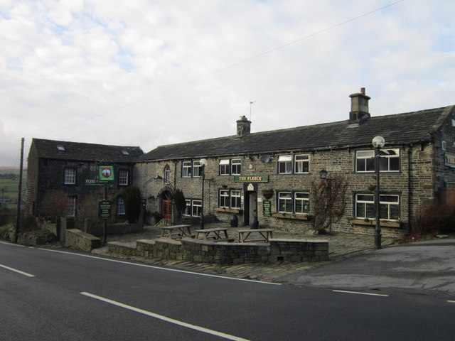
///fund.tribe.tested. Near Barkisland, West Yorkshire

Related Wikis

Barkisland

Barkisland () is a village in Calderdale, West Yorkshire, England. Historically part of the West Riding of Yorkshire, it is 1 mile (1.6 km) east of Ripponden...

Stainland

Stainland is a village in the civil parish of Stainland and District, in Calderdale, West Yorkshire, England. The village is part of the Greetland and...

Black Brook, West Yorkshire

The Black Brook is a small river in Calderdale, West Yorkshire, England. The Black Brook rises near the border of Calderdale and Kirklees next to Scammonden...

Greetland

Greetland is a village in the metropolitan borough of Calderdale in West Yorkshire, England. It lies in the Calderdale Ward of Greetland and Stainland...

Sowood, West Yorkshire

Sowood is a village in the civil parish of Stainland and District, in the Calderdale district, in the county of West Yorkshire, England. The village falls...

Holywell Green

Holywell Green is a village in the civil parish of Stainland and District, in the Calderdale, district, in the county of West Yorkshire, England. The village...

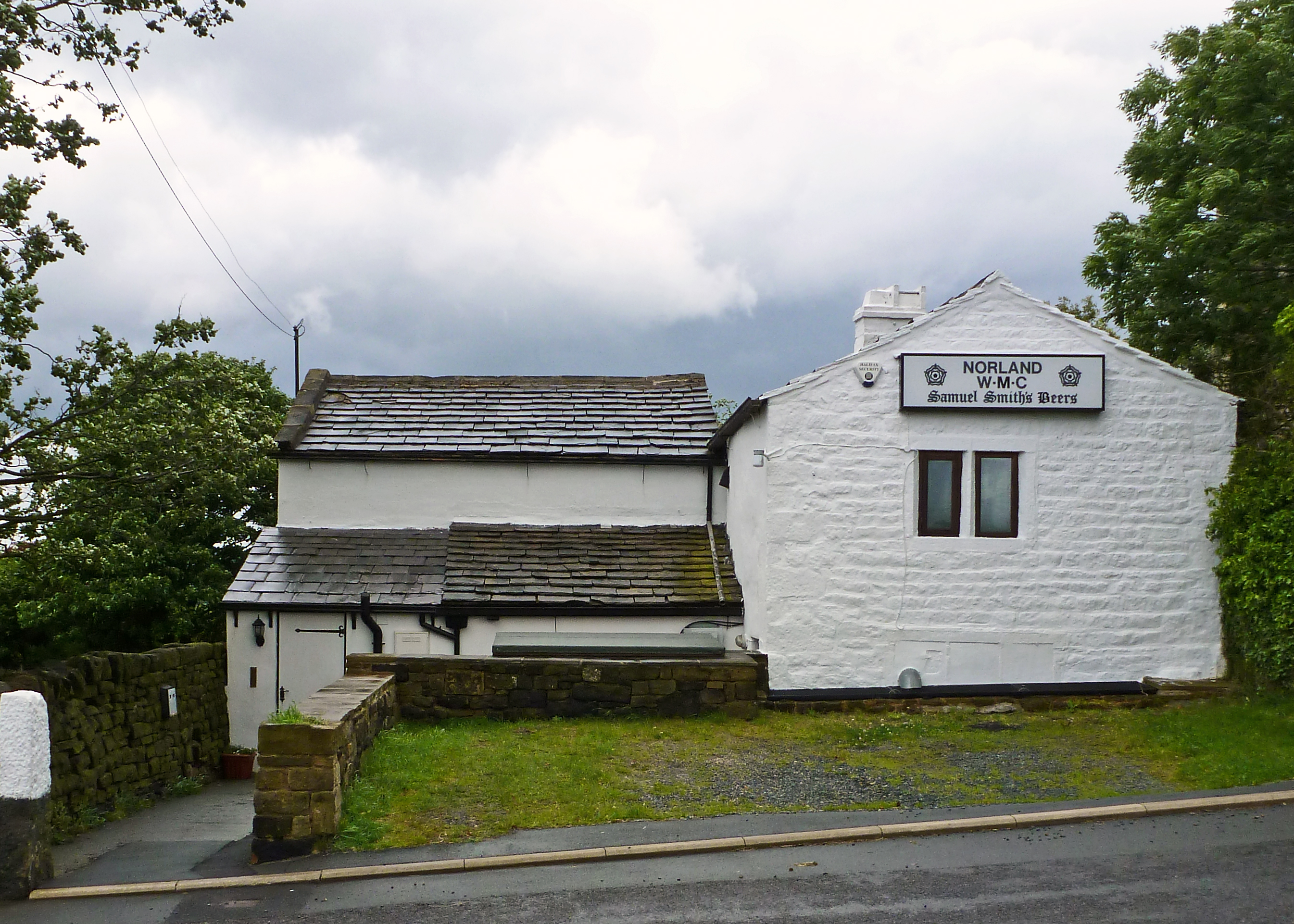
Norland, West Yorkshire

Norland is a dispersed village south of Sowerby Bridge in the metropolitan borough of Calderdale in West Yorkshire, England. == History == Historically...
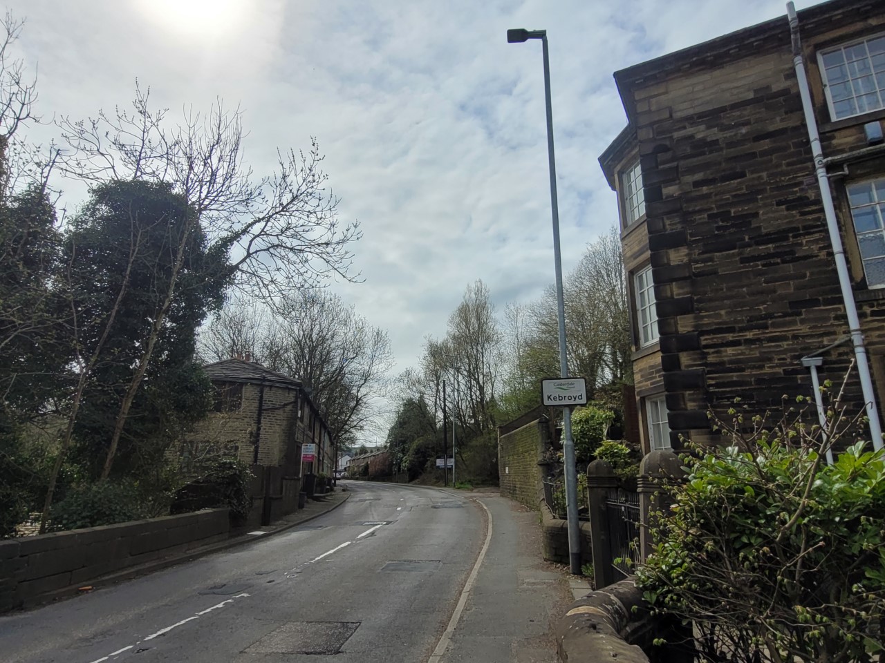
Kebroyd

Kebroyd is a small hamlet in the civil parish of Ripponden, in the Calderdale district, in West Yorkshire, England, within the valley of the River Ryburn...

Nearby Amenities

Located within 500m of 53.67888,-1.9007268
Bus Stop
Branch Road Wood End Lane
Local Ref: 45025799
Naptan AtcoCode: 450025799
Naptan Bearing: SW
Naptan BusStopType: CUS
Naptan CommonName: Branch Road Wood End Lane
Naptan Crossing: Wood End Lane
Naptan Indicator: Stop 45025799
Naptan PlusbusZoneRef: LEEDS
Naptan ShortCommonName: Wood End Lane
Naptan Street: Branch Road
Naptan Verified: no
Source: naptan_import
Lat/Long: 53.680528/-1.8941567
Bus Stop
Beestonley Lane Branch Road
Local Ref: 45025800
Naptan AtcoCode: 450025800
Naptan Bearing: W
Naptan BusStopType: CUS
Naptan CommonName: Beestonley Lane Branch Road
Naptan Crossing: Branch Road
Naptan Indicator: Stop 45025800
Naptan PlusbusZoneRef: LEEDS
Naptan ShortCommonName: Branch Road
Naptan Street: Beestonley Lane
Naptan Verified: no
Source: naptan_import
Lat/Long: 53.674584/-1.9015891
Bus Stop
Saddleworth Road The Stables
Bus: yes
Local Ref: 45026374
Naptan AtcoCode: 450026374
Naptan Bearing: SW
Naptan CommonName: Saddleworth Road The Stables
Naptan Crossing: Bowers Lane
Naptan Indicator: Stop 45026374
Naptan Landmark: Bardsey Green - The Stables
Naptan PlusbusZoneRef: LEEDS
Naptan ShortCommonName: The Stables
Naptan Street: Saddleworth Road
Naptan Verified: no
Public Transport: platform
Source: naptan_import
Lat/Long: 53.68216/-1.9000574
Bus Stop
Saddleworth Road The Stables
Bus: yes
Local Ref: 45026375
Naptan AtcoCode: 450026375
Naptan Bearing: NE
Naptan CommonName: Saddleworth Road The Stables
Naptan Crossing: Bowers Lane
Naptan Indicator: Stop 45026375
Naptan Landmark: The Stables
Naptan PlusbusZoneRef: LEEDS
Naptan ShortCommonName: The Stables
Naptan Street: Saddleworth Road
Naptan Verified: no
Public Transport: platform
Source: naptan_import
Lat/Long: 53.6822884/-1.90009
Bus Stop
Saddleworth Road Barsley Green Lane
Bus: yes
Local Ref: 45026376
Naptan AtcoCode: 450026376
Naptan Bearing: NE
Naptan CommonName: Saddleworth Road Barsley Green Lane
Naptan Crossing: Barsey Green Lane
Naptan Indicator: Stop 45026376
Naptan Landmark: Far Barsey Farm Shop
Naptan PlusbusZoneRef: LEEDS
Naptan ShortCommonName: Barsley Green Lane
Naptan Street: Saddleworth Road
Naptan Verified: no
Public Transport: platform
Source: naptan_import
Lat/Long: 53.6812206/-1.9040786
Bus Stop
Saddleworth Road Barsley Green Lane
Bus: yes
Local Ref: 45026377
Naptan AtcoCode: 450026377
Naptan Bearing: SW
Naptan CommonName: Saddleworth Road Barsley Green Lane
Naptan Crossing: Barsey Green Lane
Naptan Indicator: Stop 45026377
Naptan Landmark: Barsey Green
Naptan PlusbusZoneRef: LEEDS
Naptan ShortCommonName: Barsley Green Lane
Naptan Street: Saddleworth Road
Naptan Verified: no
Public Transport: platform
Source: naptan_import
Lat/Long: 53.681273/-1.9035418
Barrier: kissing_gate
Lat/Long: 53.6784992/-1.8949374
Post Box
Ref: HX4 53
Lat/Long: 53.6746612/-1.9024223
Power: pole
Lat/Long: 53.6812354/-1.9041296
Power: pole
Lat/Long: 53.6820005/-1.9042876
Power: pole
Lat/Long: 53.682726/-1.904428
Leisure: picnic_table
Lat/Long: 53.6783605/-1.8949958
Parking
Lat/Long: 53.6775481/-1.8965955
The data included in this document is from www.openstreetmap.org. The data is made available under ODbL.

Have you been to Barsey Clough?

Leave your review of Barsey Clough below (or comments, questions and feedback).