Acorn Wood
Wood, Forest in Yorkshire
England
Acorn Wood
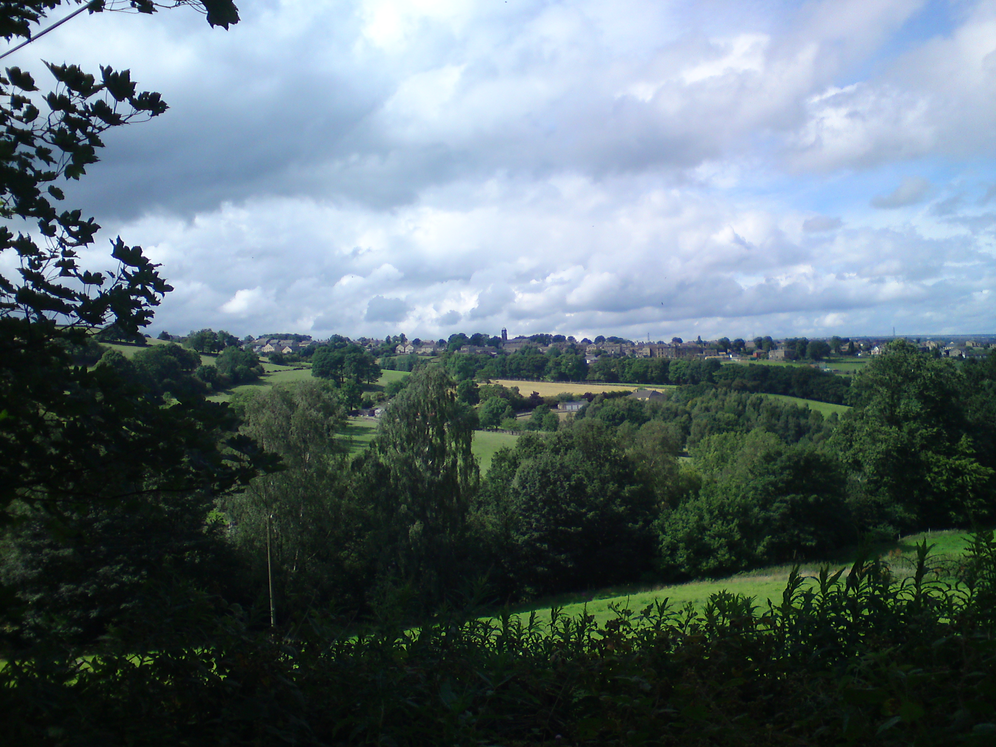
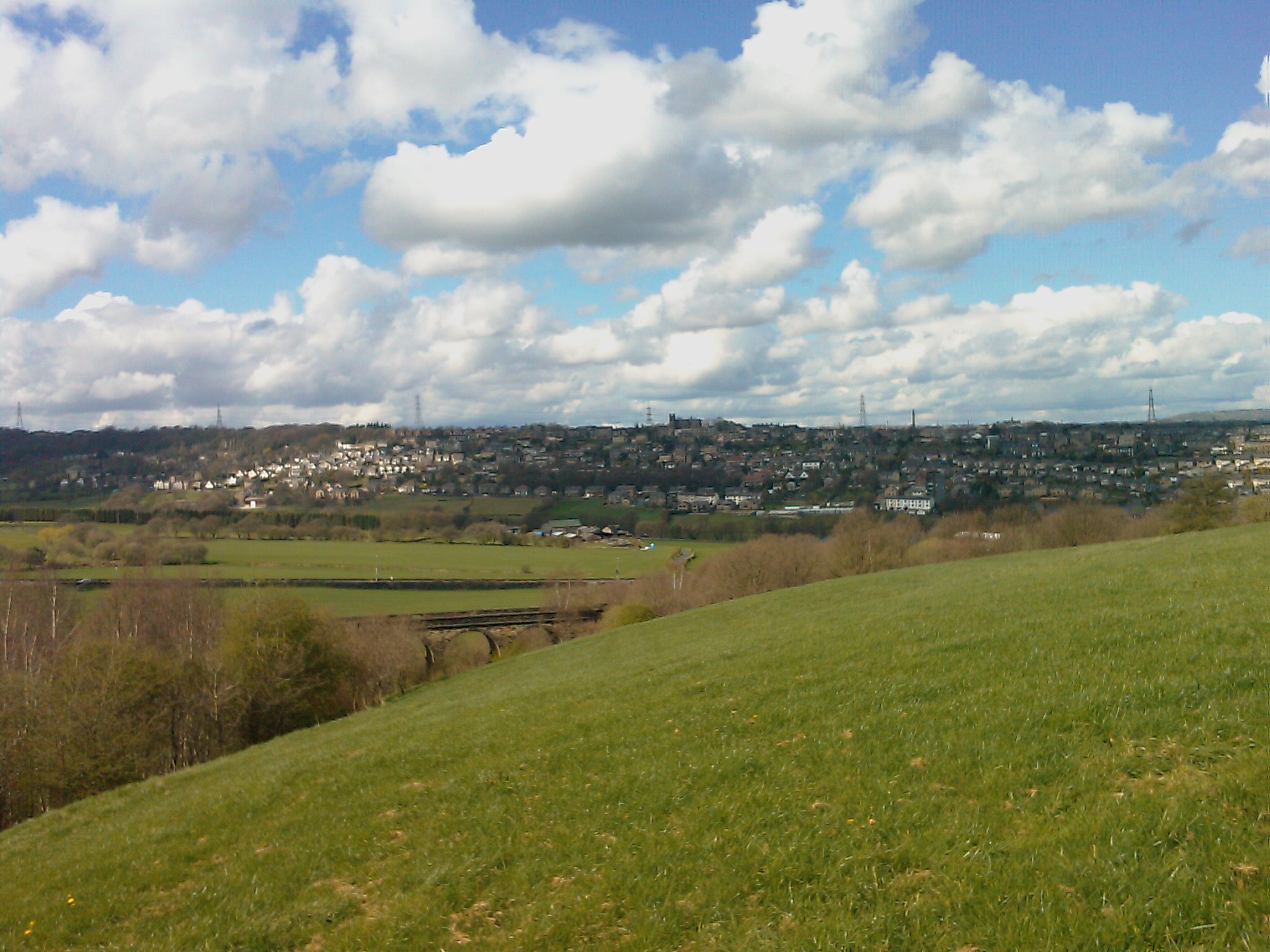
Acorn Wood is a picturesque forest located in the county of Yorkshire, England. Covering an area of approximately 500 acres, it is a popular destination for nature lovers and outdoor enthusiasts. The wood is situated on the outskirts of a small village, surrounded by rolling hills and meadows, providing a tranquil and idyllic setting.
The forest is predominantly composed of oak trees, which give it its name. These majestic trees create a dense canopy, offering shade and shelter to a diverse range of flora and fauna. Acorn Wood is home to various wildlife species, including deer, squirrels, badgers, and a variety of bird species. Birdwatchers can often spot woodpeckers, owls, and thrushes among the treetops.
Visitors can explore the wood through a network of well-maintained walking trails, allowing them to experience the beauty of the natural surroundings up close. The trails vary in length and difficulty, catering to both leisurely strolls and more adventurous hikes. Along the way, hikers can enjoy breathtaking views of the surrounding countryside, with occasional glimpses of a nearby river that meanders through the forest.
Acorn Wood also offers a range of recreational activities. Families often come to the forest for picnics, taking advantage of the designated picnic areas and enjoying the serene atmosphere. Additionally, there are several camping spots available for those looking to spend a night under the stars.
Overall, Acorn Wood in Yorkshire is a captivating forest that captivates visitors with its rich biodiversity, stunning landscapes, and peaceful ambiance. It serves as a haven for both nature enthusiasts and those seeking respite from the hustle and bustle of everyday life.
If you have any feedback on the listing, please let us know in the comments section below.
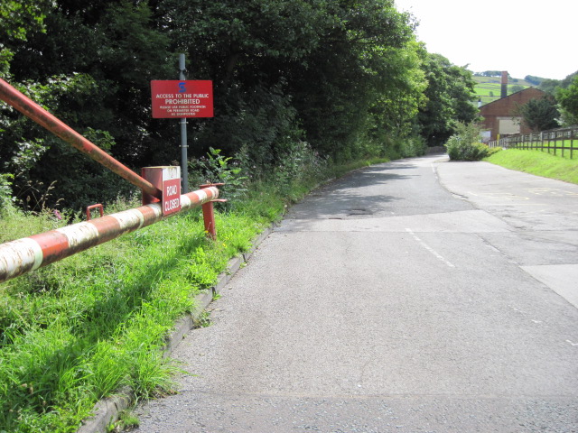
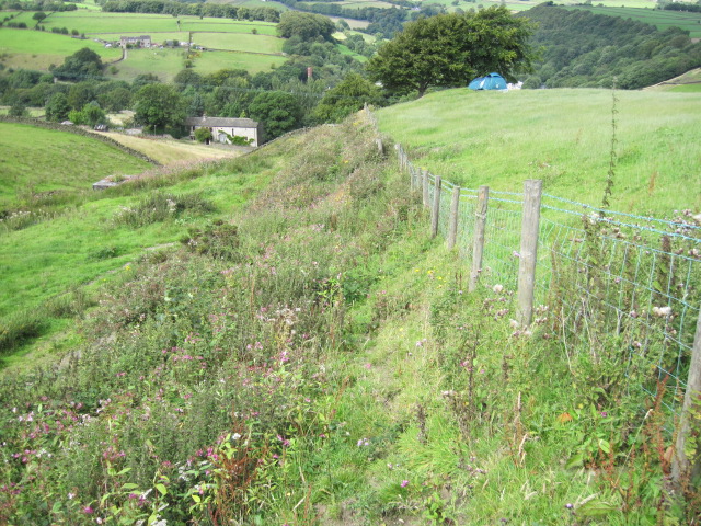
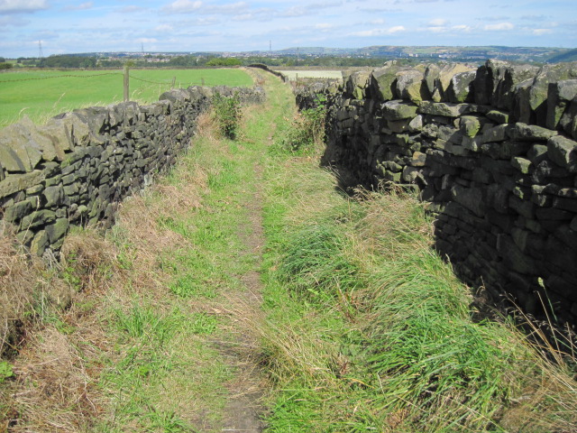
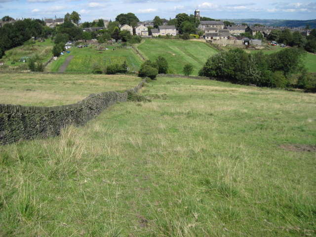
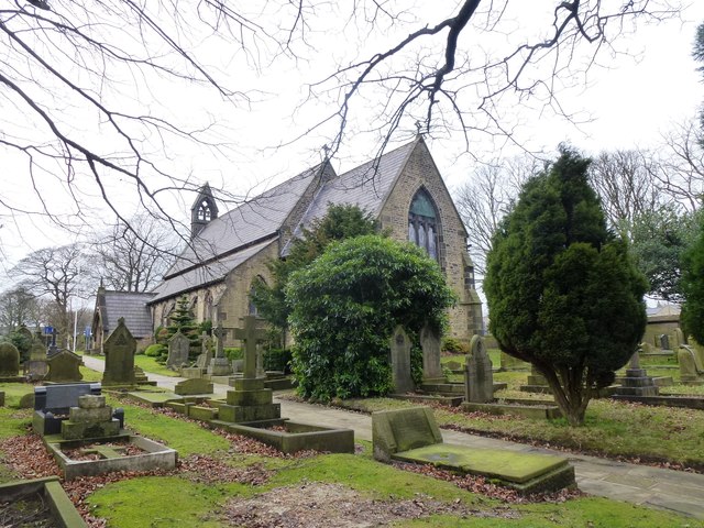
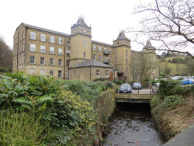
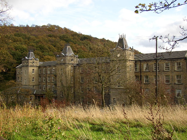
Acorn Wood Images
Images are sourced within 2km of 53.678978/-1.8990916 or Grid Reference SE0620. Thanks to Geograph Open Source API. All images are credited.


Acorn Wood is located at Grid Ref: SE0620 (Lat: 53.678978, Lng: -1.8990916)
Division: West Riding
Unitary Authority: Calderdale
Police Authority: West Yorkshire
What 3 Words
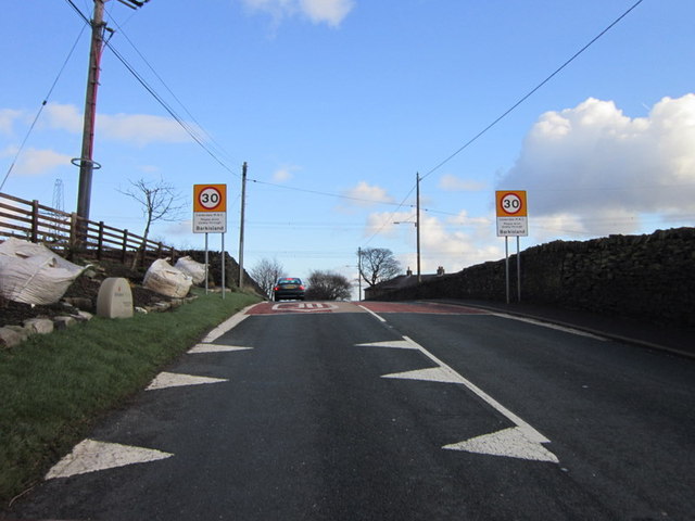
///deals.free.still. Near Barkisland, West Yorkshire
Nearby Locations
Related Wikis
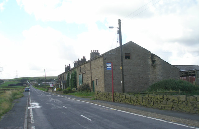
Barkisland
Barkisland () is a village in Calderdale, West Yorkshire, England. Historically part of the West Riding of Yorkshire, it is 1 mile (1.6 km) east of Ripponden...
Stainland
Stainland is a village in the civil parish of Stainland and District, in Calderdale, West Yorkshire, England. The village is part of the Greetland and...

Black Brook, West Yorkshire
The Black Brook is a small river in Calderdale, West Yorkshire, England. The Black Brook rises near the border of Calderdale and Kirklees next to Scammonden...
Greetland
Greetland is a village in the metropolitan borough of Calderdale in West Yorkshire, England. It lies in the Calderdale Ward of Greetland and Stainland...

Holywell Green
Holywell Green is a village in the civil parish of Stainland and District, in the Calderdale, district, in the county of West Yorkshire, England. The village...

Sowood, West Yorkshire
Sowood is a village in the civil parish of Stainland and District, in the Calderdale district, in the county of West Yorkshire, England. The village falls...
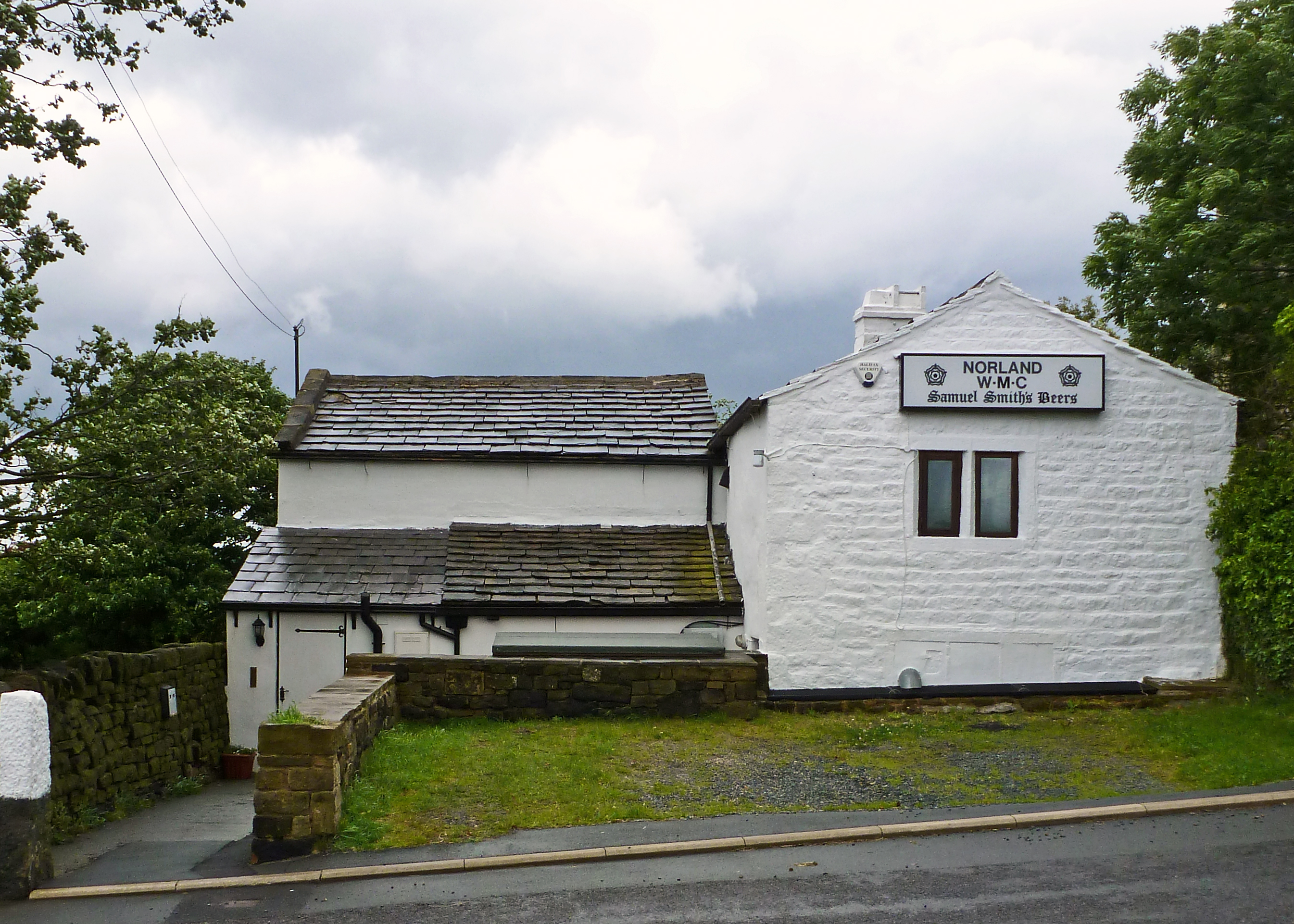
Norland, West Yorkshire
Norland is a dispersed village south of Sowerby Bridge in the metropolitan borough of Calderdale in West Yorkshire, England. == History == Historically...
Stainland and Holywell Green railway station
Stainland and Holywell Green railway station served the villages of Stainland and Holywell Green in West Yorkshire, England from 1875 until 1929. Goods...
Nearby Amenities
Located within 500m of 53.678978,-1.8990916Have you been to Acorn Wood?
Leave your review of Acorn Wood below (or comments, questions and feedback).