Barrows Green
Settlement in Nottinghamshire Ashfield
England
Barrows Green
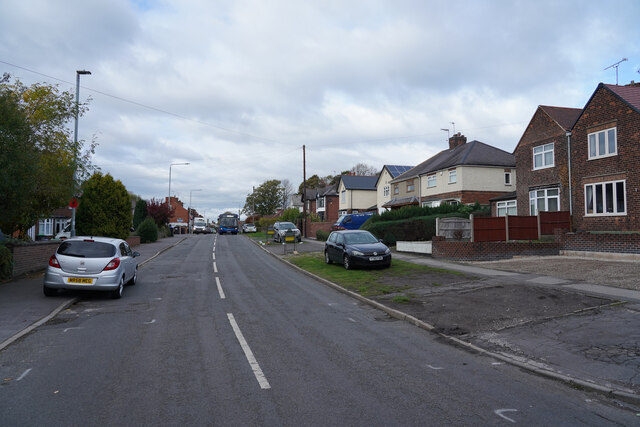
Barrows Green is a small village located in the county of Nottinghamshire, England. Situated approximately five miles southwest of the bustling city of Nottingham, it offers residents a peaceful and idyllic countryside setting.
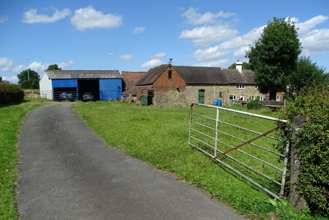
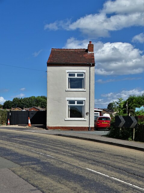
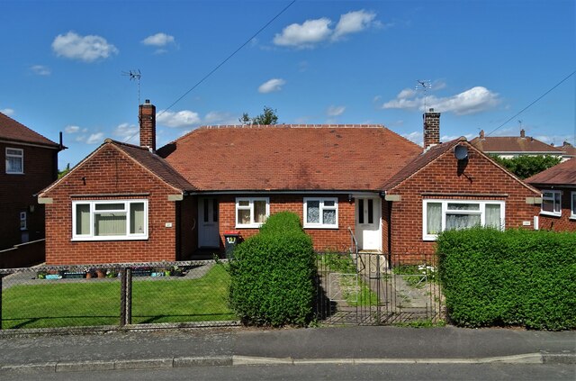
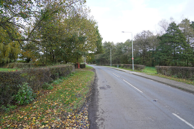
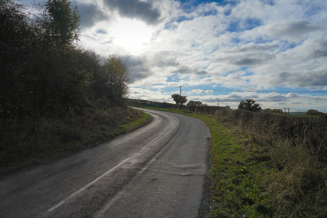
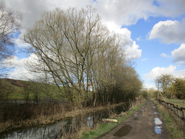
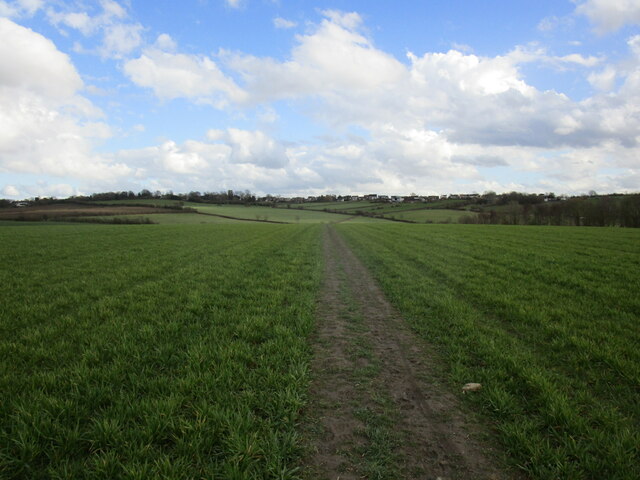
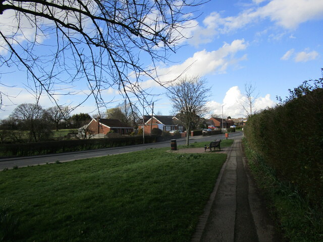
The village is characterized by its charming cottages and picturesque landscapes, making it an appealing destination for those seeking a tranquil escape from the city. Surrounded by rolling green fields and woodlands, Barrows Green is the epitome of rural beauty.
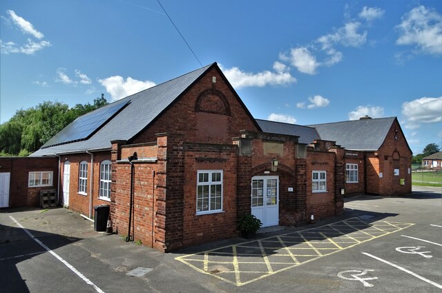
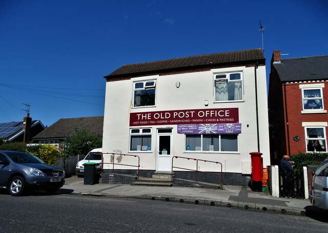
Despite its small size, the village boasts a strong sense of community, with friendly and welcoming residents. The village center is home to a few local amenities, including a village hall, a post office, and a small convenience store, catering to the everyday needs of its inhabitants.
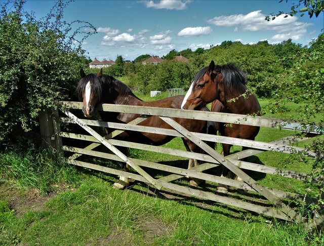
For outdoor enthusiasts, Barrows Green offers ample opportunities for leisurely walks, cycling, and horse riding, with numerous footpaths and bridleways crisscrossing the surrounding countryside. The nearby River Trent also provides a picturesque spot for fishing and boating activities.
Although primarily a residential area, Barrows Green benefits from its close proximity to Nottingham, which offers a wider range of amenities, including shopping centers, restaurants, and cultural attractions. The village is well-connected to the city via regular bus services and road links, making commuting convenient for those working in Nottingham.
In summary, Barrows Green is a charming and close-knit village in Nottinghamshire, offering a peaceful rural lifestyle while maintaining easy access to the nearby city of Nottingham.
If you have any feedback on the listing, please let us know in the comments section below.
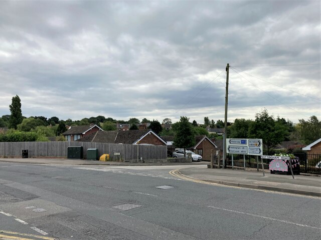
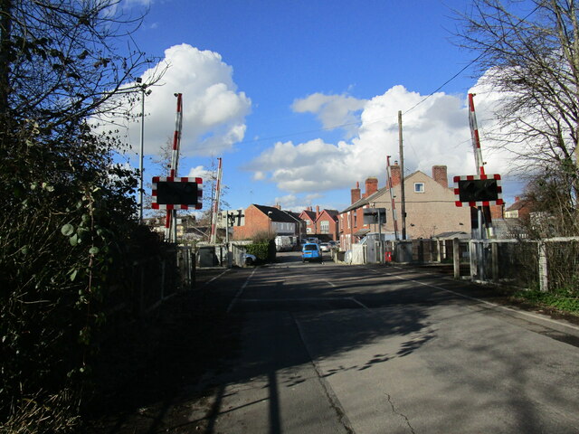
Barrows Green Images
Images are sourced within 2km of 53.06735/-1.323909 or Grid Reference SK4552. Thanks to Geograph Open Source API. All images are credited.

Barrows Green is located at Grid Ref: SK4552 (Lat: 53.06735, Lng: -1.323909)
Administrative County: Nottinghamshire
District: Ashfield
Police Authority: Nottinghamshire
What 3 Words
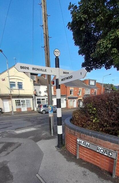
///trudges.obscuring.originate. Near Pinxton, Derbyshire
Nearby Locations
Related Wikis

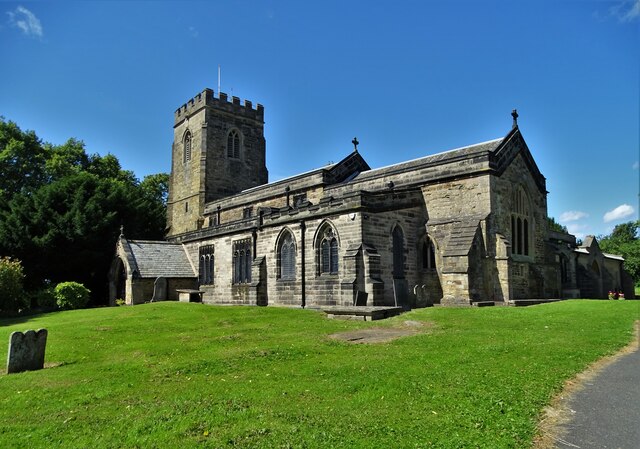
St Helen's Church, Selston
St. Helen's Church, Selston is a parish church in the Church of England in Selston, Nottinghamshire. The church is Grade II* listed by the Department for...

Pye Hill and Somercotes railway station
Pye Hill and Somercotes railway station was a railway station on the Great Northern Railway (Great Britain) on its Derbyshire Extension on the branch between...

Jacksdale
Jacksdale is a village in the Ashfield local-government district of Nottinghamshire, England, once a mining community. The population of Jacksdale ward...

St Mary's Church, Westwood
St. Mary's Church, Westwood is a parish church in the Church of England in Jacksdale, Nottinghamshire. == History == The church was built in 1898 to the...
Pye Hill
Pye Hill is a hamlet in the Erewash Valley, Nottinghamshire, England. The B600 road runs east–west through it. It was once served by the Pye Hill and Somercotes...
Pye Bridge railway station
Pye Bridge railway station served the village of Pye Bridge, Derbyshire, England from 1849 to 1967 on the Erewash Valley Line. == History == The station...

Selston High School
Selston High School is a mixed secondary school that educates students aged 11–16. It is located in Selston, Nottinghamshire, England. The headteacher...

Codnor Park and Selston railway station
Codnor Park and Selston railway station was a former railway station to serve the villages of Codnor Park and Selston on the border between Derbyshire...
Nearby Amenities
Located within 500m of 53.06735,-1.323909Have you been to Barrows Green?
Leave your review of Barrows Green below (or comments, questions and feedback).