Far Deep Clough

Valley in Yorkshire

England

Far Deep Clough

Pots & Pans Monument & Greenfield This war memorial was erected in 1923 to honour the 259 people from the villages of Saddleworth who died during the first world war and was located here specifically to be visible from the villages in the area. When plans were submitted for the war memorial there was much opposition from local people who wanted a memorial in the village rather than on top of a bleak hill.
Pots & Pans Monument & Greenfield Credit: Colin Park

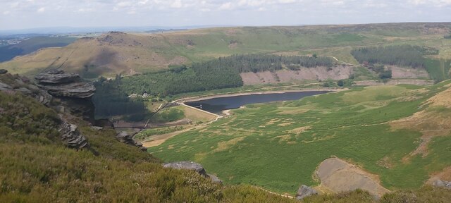
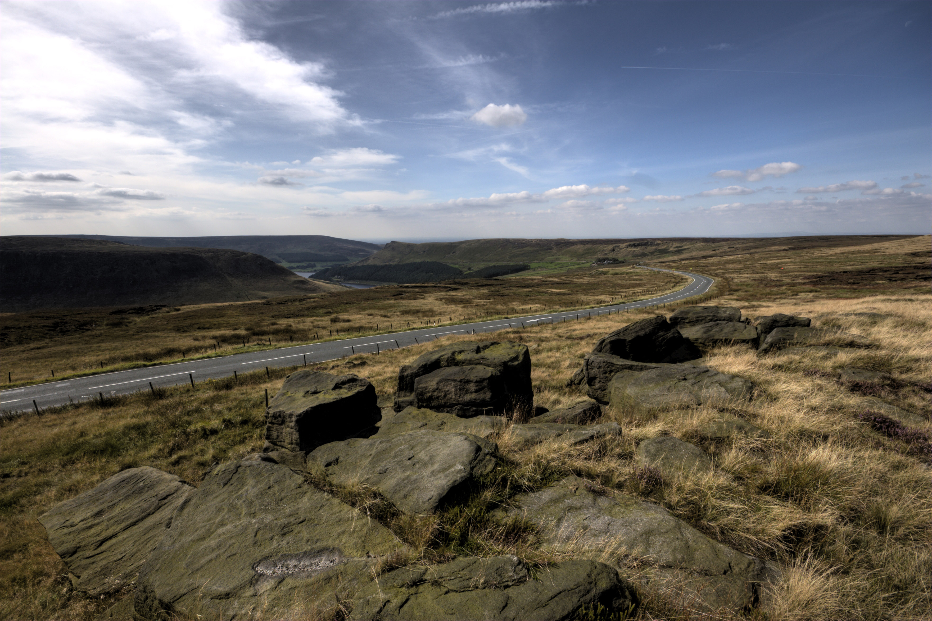
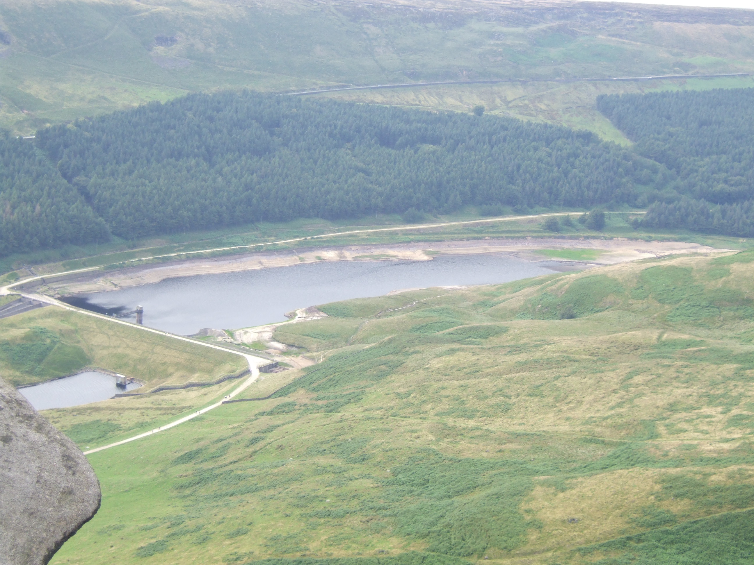
Far Deep Clough is a picturesque valley located in the county of Yorkshire, England. Nestled within the stunning Yorkshire Dales National Park, this enchanting valley is renowned for its natural beauty and tranquil atmosphere. The clough, a local term for a deep, narrow valley, stretches for approximately 3 miles, offering visitors a captivating landscape to explore.

The valley is characterized by its rolling hills, verdant meadows, and meandering streams, which all contribute to the stunning scenery that attracts nature enthusiasts, hikers, and photographers alike. The area is rich in biodiversity, hosting a diverse range of flora and fauna, making it a haven for wildlife lovers.

Walking trails crisscross the valley, allowing visitors to discover its hidden gems. The paths take visitors through ancient woodlands, across babbling brooks, and up to breathtaking viewpoints that offer sweeping vistas of the surrounding countryside. The valley is also home to several charming villages, where visitors can experience the warm hospitality of the local community.

Far Deep Clough is a place of serenity, offering a peaceful escape from the bustling city life. The soothing sounds of nature, coupled with the fresh, crisp air, create an ideal environment for relaxation and rejuvenation. Whether it's enjoying a picnic in one of the meadows, embarking on a leisurely stroll, or simply taking in the beauty of the surroundings, Far Deep Clough is a destination that truly showcases the natural wonders of Yorkshire.

If you have any feedback on the listing, please let us know in the comments section below.

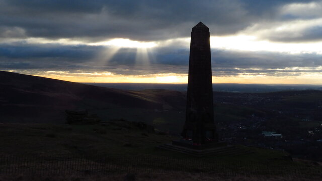
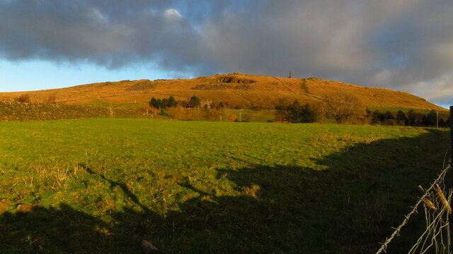
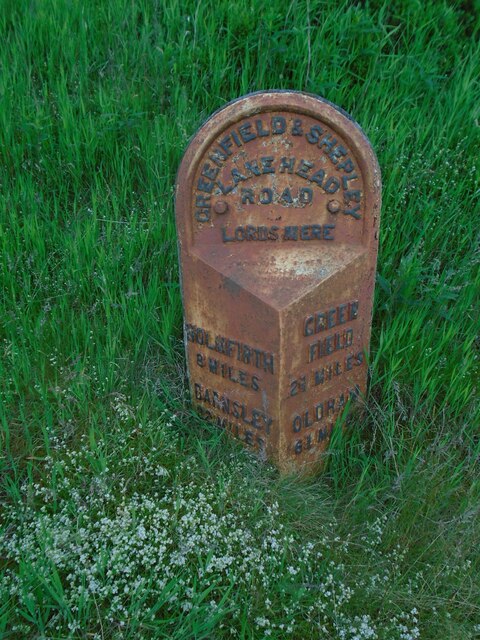
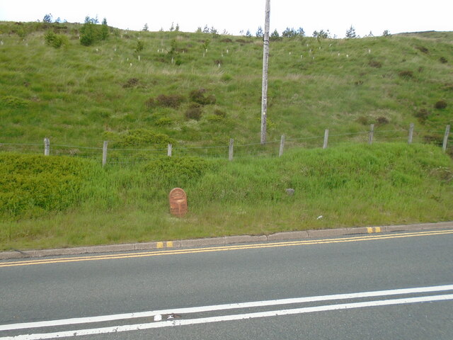
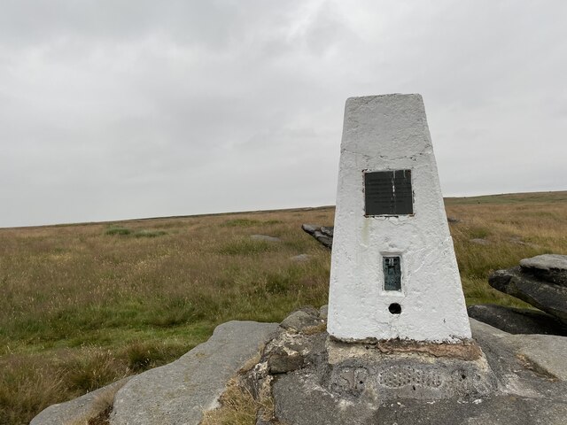
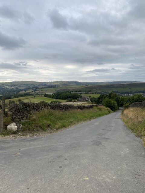
Far Deep Clough Images

Images are sourced within 2km of 53.550537/-1.9645081 or Grid Reference SE0205. Thanks to Geograph Open Source API. All images are credited.

Pots & Pans Monument & Greenfield This war memorial was erected in 1923 to honour the 259 people from the villages of Saddleworth who died during the first world war and was located here specifically to be visible from the villages in the area. When plans were submitted for the war memorial there was much opposition from local people who wanted a memorial in the village rather than on top of a bleak hill.
Pots & Pans Monument & Greenfield
This war memorial was erected in 1923 to honour the 259 people from the villages of Saddleworth who died during the first world war and was located here specifically to be visible from the villages in the area. When plans were submitted for the war memorial there was much opposition from local people who wanted a memorial in the village rather than on top of a bleak hill.
Late afternoon sunlight on Pots & Pans Monument near Greenfield
Old milestone The 2 miles from Greenfield West Riding CC milestone, now in Greater Manchester, is on the west side of the A635.  The 3 mile stone minus its attachment was seen in 2002 but has since disappeared altogether.  Many of the milestones in this area known as Saddleworth were painted several years ago.   Now ready for a repaint although the legends can be read.  Neither the 2 or 3 mile stones were 'listed'.
Old milestone
The 2 miles from Greenfield West Riding CC milestone, now in Greater Manchester, is on the west side of the A635. The 3 mile stone minus its attachment was seen in 2002 but has since disappeared altogether. Many of the milestones in this area known as Saddleworth were painted several years ago. Now ready for a repaint although the legends can be read. Neither the 2 or 3 mile stones were 'listed'.
Old milestone The Greenfield and Shepley Lane Head tollroad existed from 1823 to the early 1880s.   About 2 metres to the right of the West Riding CC milestone can just be made out an old stone at the edge of the uncut longer grass.   It is thought that this is a milestone from the turnpike era although no inscription can be made out.
Old milestone
The Greenfield and Shepley Lane Head tollroad existed from 1823 to the early 1880s. About 2 metres to the right of the West Riding CC milestone can just be made out an old stone at the edge of the uncut longer grass. It is thought that this is a milestone from the turnpike era although no inscription can be made out.
Greenfield Reservoir Dam
Dam Wall at Greenfield Reservoir
Ashway Edge Reflected in Greenfield Reservoir
Footpath by Greenfield Brook
Birchen Clough
Birchen Clough
Crags above Birchen Clough
The Raven Stones - Trinnacle
Ashway Rocks with Dove Stone Reservoir beyond
Ashway Rocks
Ashway Rocks
The path up to Little Flat
Memorial to a local MP who died on this spot Died by the "accidental discharge of a gun"
Memorial to a local MP who died on this spot
Died by the "accidental discharge of a gun"
Yeoman Hey Reservoir from above Ashway Gap
Saddleworth Trig Point Flush Bracket S4403
Running Hill Lane
Running Hill Lane
Show me another place!

Far Deep Clough is located at Grid Ref: SE0205 (Lat: 53.550537, Lng: -1.9645081)

Division: West Riding

Unitary Authority: Oldham

Police Authority: Greater Manchester

What 3 Words

///necks.satin.fondest. Near Diggle, Manchester

Related Wikis

Greenfield Valley

Greenfield Valley is a river valley through Saddleworth Moor in England's Peak District National Park. Historically this area of the South Pennines was...

Greenfield Reservoir

Greenfield Reservoir is a reservoir in the Saddleworth parish of the Metropolitan Borough of Oldham in Greater Manchester, in the English Peak District...

Saddleworth Moor

Saddleworth Moor is a moorland in North West England. Reaching more than 1,312 feet (400 m) above sea level, it is in the Dark Peak area of the Peak District...

Yeoman Hey Reservoir

Yeoman Hey Reservoir is a reservoir in the English Peak District. On its margin is a commemorative stone laid by the King of Tonga in 1981. The reservoir...

Nearby Amenities

Located within 500m of 53.550537,-1.9645081
Saddleworth Moor
Natural: moor
Place: locality
Source: https://commons.wikimedia.org/wiki/File:Moors_murders_map.jpg
Wikidata: Q1640131
Wikipedia: en:Saddleworth Moor
Lat/Long: 53.5484435/-1.9603966
Barrier: stile
Material: wood
Source: survey;gps
Stile: stepover
Lat/Long: 53.5489482/-1.9682778
Parking
Access: no
Parking: layby
Surface: asphalt
Lat/Long: 53.5499292/-1.9670879
Communication Mobile Phone: yes
Man Made: mast
Tower Type: communication
Lat/Long: 53.5493328/-1.9675716
Line Management: transition
Material: wood
Power: pole
Lat/Long: 53.5489357/-1.9671595
Material: wood
Power: pole
Lat/Long: 53.5473877/-1.9677843
Material: wood
Power: pole
Lat/Long: 53.5481661/-1.9674701
Power: pole
Lat/Long: 53.5469548/-1.9672257
Material: wood
Power: pole
Lat/Long: 53.5465234/-1.9666739
Line Management: transition
Material: wood
Power: pole
Lat/Long: 53.5492229/-1.9675948
Marker: pole
Utility: gas
Lat/Long: 53.5516138/-1.9578702
Marker: yes
Utility: gas
Lat/Long: 53.5510548/-1.9651827
Marker: yes
Utility: gas
Lat/Long: 53.5509023/-1.9657597
Marker: yes
Utility: gas
Lat/Long: 53.5514382/-1.9616678
The data included in this document is from www.openstreetmap.org. The data is made available under ODbL.

Have you been to Far Deep Clough?

Leave your review of Far Deep Clough below (or comments, questions and feedback).