Lenchwick
Settlement in Worcestershire Wychavon
England
Lenchwick

Lenchwick is a small village located in the county of Worcestershire, England. Situated approximately 15 miles southeast of Worcester, it is part of the Wychavon district. The village is nestled in a picturesque rural setting, surrounded by rolling hills and farmland, offering residents and visitors a tranquil atmosphere.
Lenchwick has a long history dating back to the Domesday Book of 1086, where it was recorded as "Lentewic." Over the centuries, it has remained a small community with a close-knit population. The village features a mix of traditional and modern architecture, with charming cottages and more contemporary houses.
A notable landmark in Lenchwick is the St. Eadburgha's Church, a beautiful medieval building that dates back to the 13th century. The church is renowned for its stunning stained glass windows and intricate stonework, attracting visitors interested in the area's history and architecture.
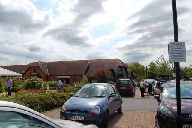
The village offers limited amenities, including a local pub that serves as a focal point for socializing and community gatherings. However, Lenchwick benefits from its proximity to nearby towns and cities, such as Evesham and Worcester, where residents can access a wider range of shops, services, and recreational facilities.
The surrounding countryside offers opportunities for outdoor activities, including walking, cycling, and horse riding. Lenchwick is also well-positioned for exploring the Worcestershire countryside, with its idyllic landscapes, historic sites, and charming villages.
In summary, Lenchwick is a picturesque village in Worcestershire, known for its rural charm, historic church, and proximity to larger towns. It offers a peaceful and idyllic lifestyle for its residents while providing access to the amenities and attractions of the wider region.
If you have any feedback on the listing, please let us know in the comments section below.
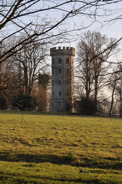
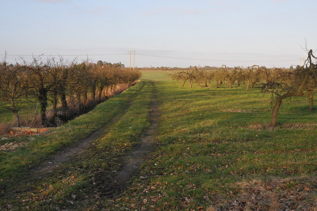
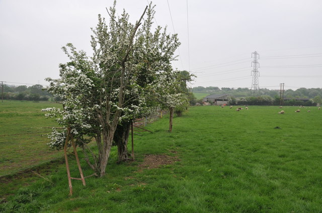
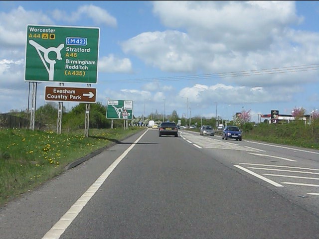
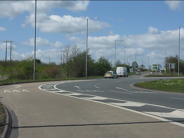
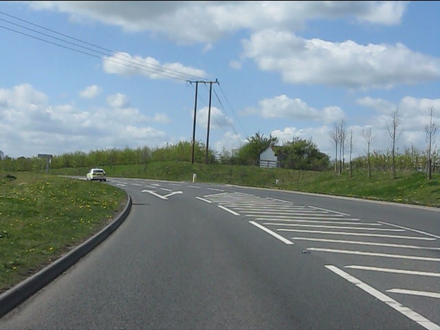
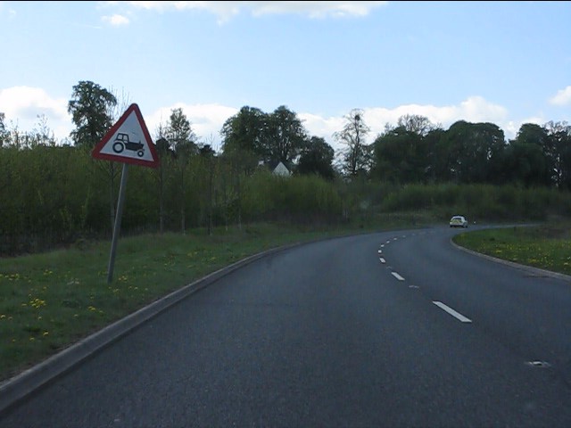
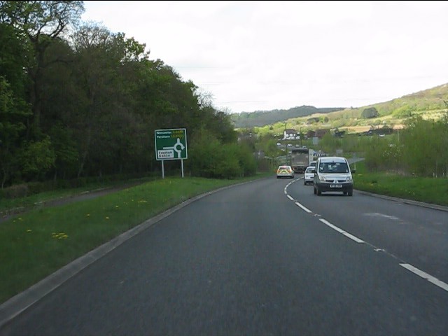
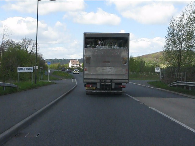
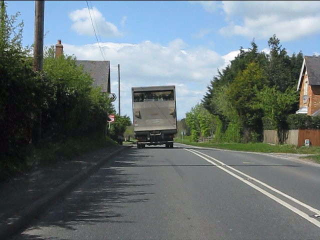
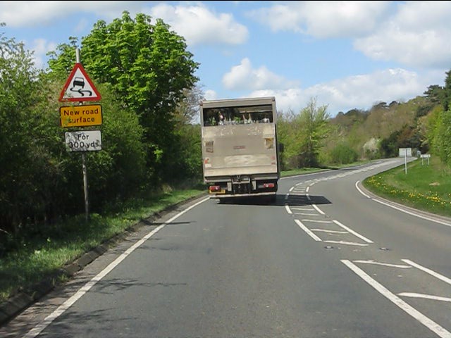
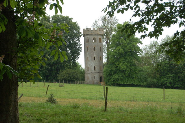
Lenchwick Images
Images are sourced within 2km of 52.123453/-1.951123 or Grid Reference SP0347. Thanks to Geograph Open Source API. All images are credited.


Lenchwick is located at Grid Ref: SP0347 (Lat: 52.123453, Lng: -1.951123)
Administrative County: Worcestershire
District: Wychavon
Police Authority: West Mercia
What 3 Words
///backers.round.severe. Near Harvington, Worcestershire
Nearby Locations
Related Wikis
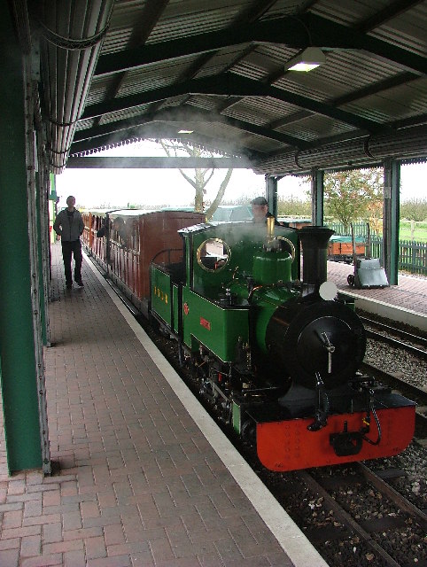
Evesham Vale Light Railway
The Evesham Vale Light Railway is a 15 in (381 mm) gauge railway that operates in Evesham Country Park in Worcestershire, England. == Route == The railway...

Battle of Evesham
The Battle of Evesham (4 August 1265) was one of the two main battles of 13th century England's Second Barons' War. It marked the defeat of Simon de Montfort...
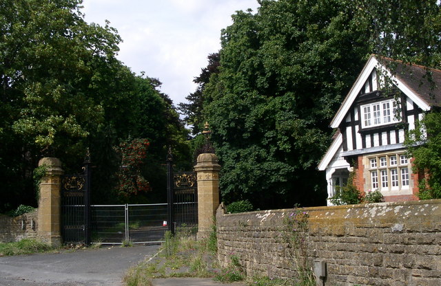
Wood Norton Hall
Wood Norton Hall is a Grade II* listed Victorian stately home to the northwest of Evesham, Worcestershire, England. It was the last home in England of...
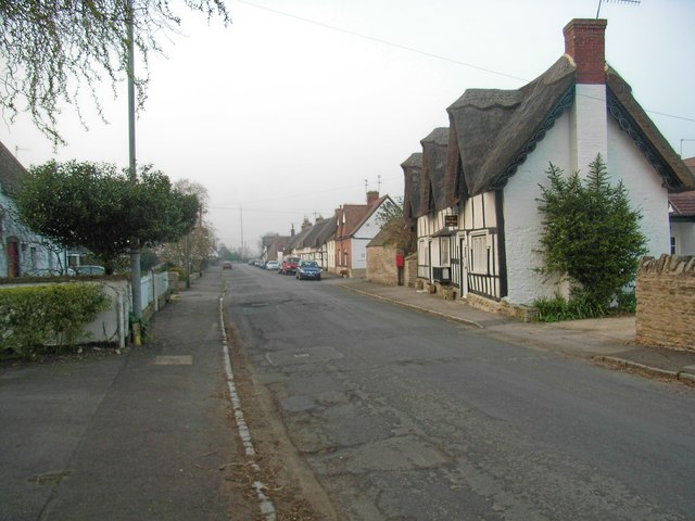
Offenham
Offenham is a large rural village and civil parish in the Wychavon district of Worcestershire, England, located about three miles east of Evesham, in the...
Nearby Amenities
Located within 500m of 52.123453,-1.951123Have you been to Lenchwick?
Leave your review of Lenchwick below (or comments, questions and feedback).